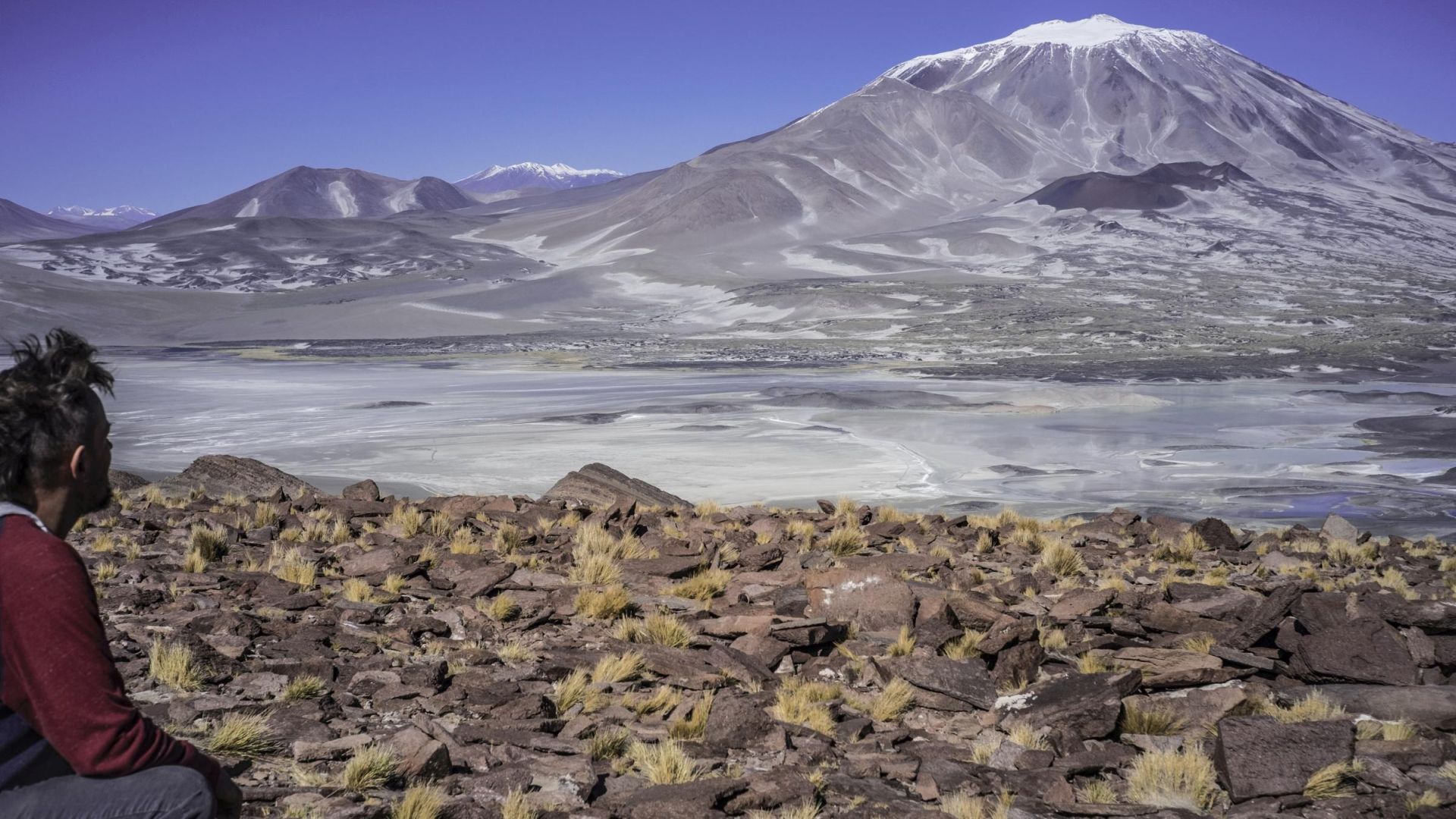
In the glow of snow-covered ridges,
warmed by the rays of the Andean sun,
your new,
mystical world awaits...
A blaze of colors
flows through every part of this world…
and when it finally floods into your lungs,
and your emotion-charged head almost explodes
from it all...
you already know that...
you have crossed unseen gates of...
SERPENTINIUM
...the world where the navigator,
as it just so happens,
I am the one!
BASIC INFORMATION:
SERPENTINIUM:
is my original project, born out of a moment of clarity,
when after years of exploring the Andes I realized I could use this passion, my potential,
knowledge and experience (quite unique in a european context) to
show you some of the most extraordinary places on this planet.
The idea is simple: with my help, find your way through this incredible,
raw, remote—and therefore demanding—but endlessly beautiful part of the world: the High Andes. More about who I am can be found on
the other subpages on this site. Here, the focus is purely on the Andes and their winding mountain roads.
SETTING:
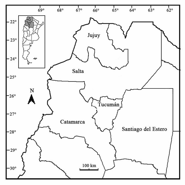
This open-ended, ever-evolving travel odyssey takes place in South America, across the Argentine provinces of
Catamarca, Salta, Jujuy... as well as nearby regions such as La Rioja, San Juan, Tucumán, Mendoza... sometimes extending into neighboring,
borderland mountain areas of Bolivia and Chile.
In my opinion, this is one of the most beautiful places on Earth — one I have been exploring for many years.
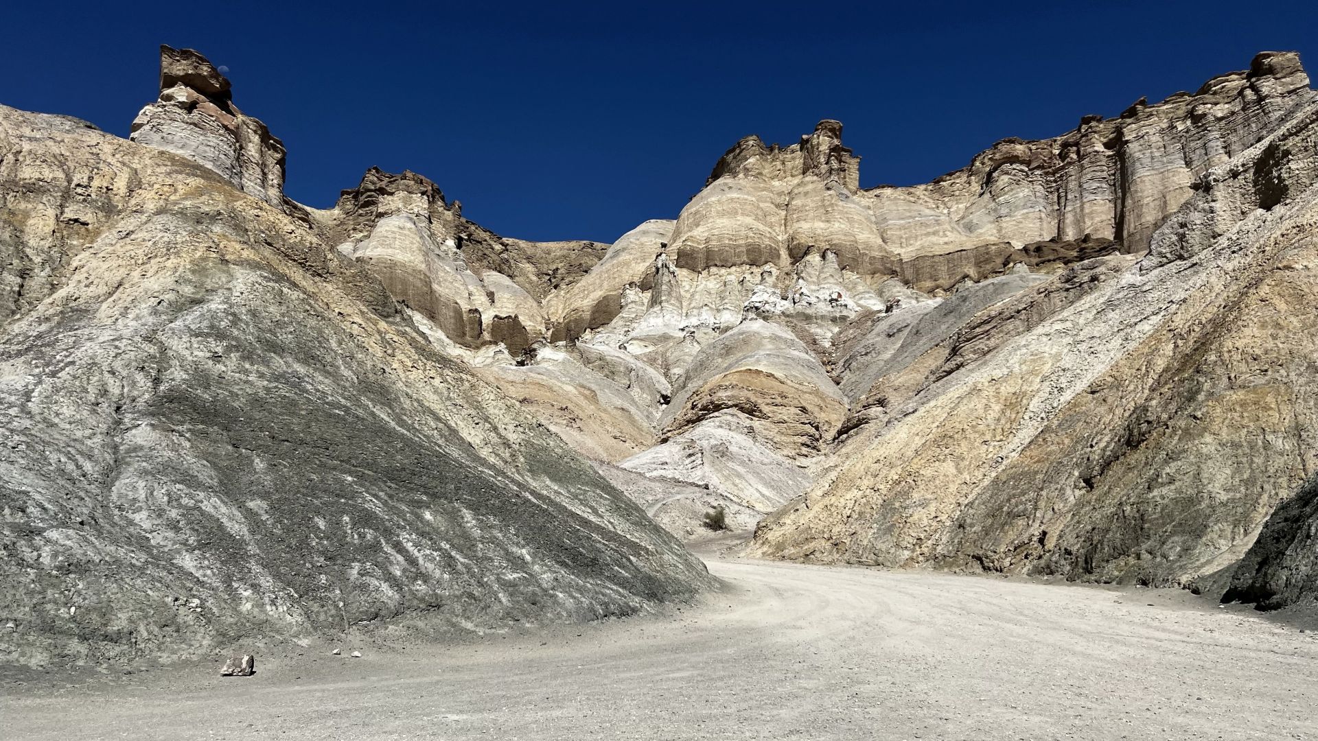
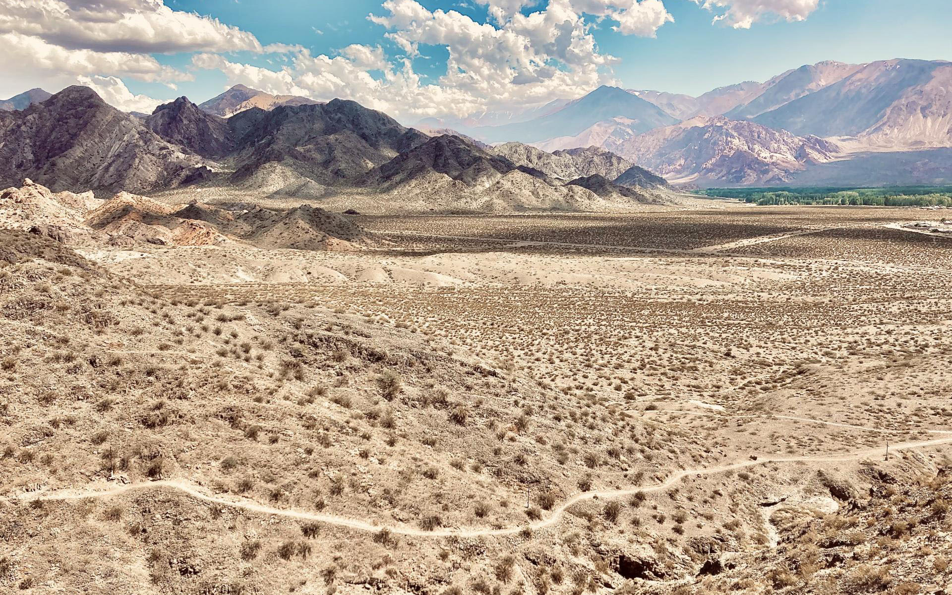
The highest peaks of the Andes, rise here from rock formations in colors so surreal they are hard to describe. Hundreds of kilometers,
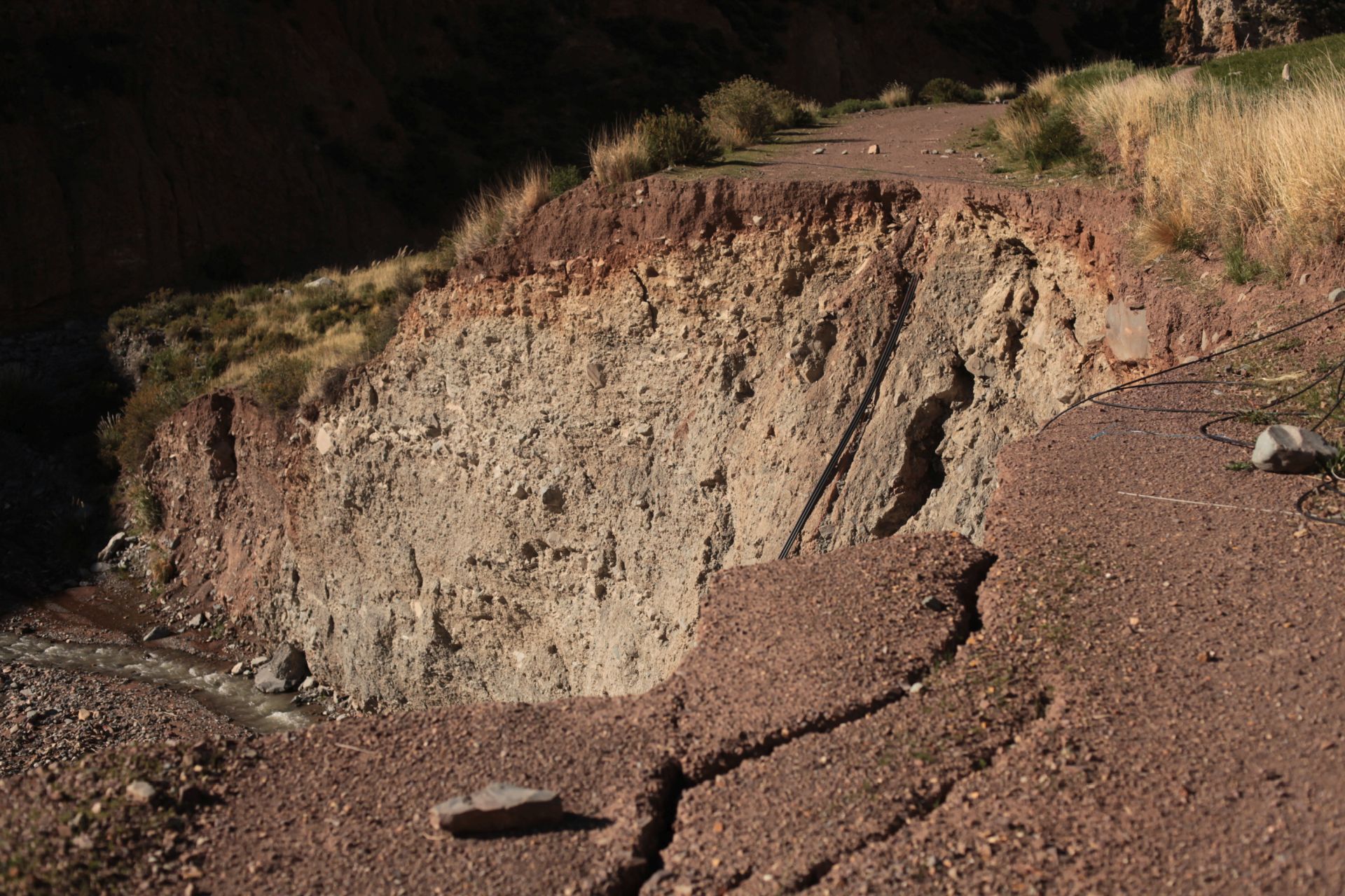
of remote (and sometimes temporarily inaccessible) mountain roads reveal surprisingly diverse landscapes—from the high-altitude,
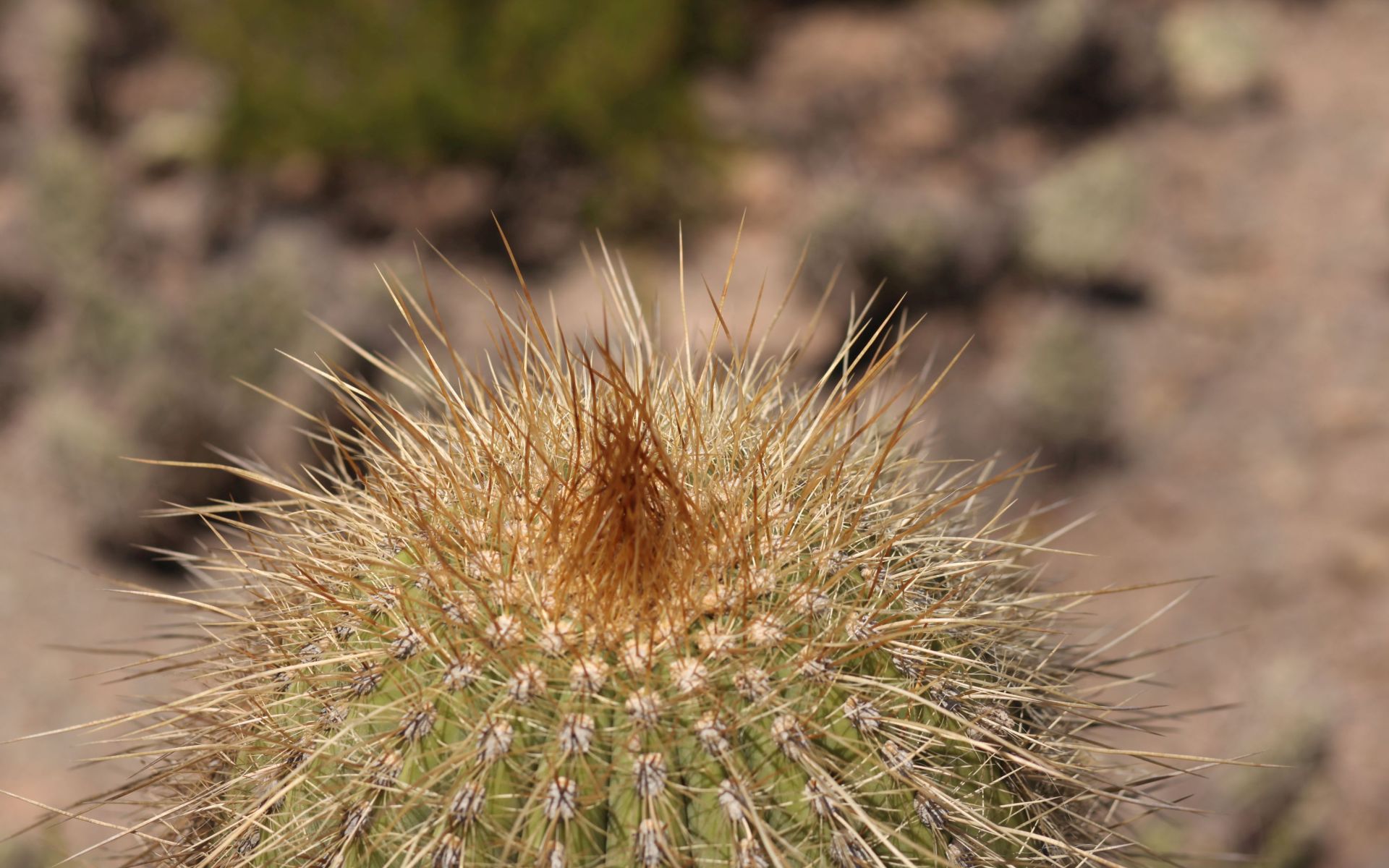
arid Atacama plateau, through salt flats and deserts, to snow-dusted peaks and steep slopes covered with Cardón cacti (Echinopsis atacamensis), straight out of a Tarantino film.
You can wander endlessly through the colorful rock formations of Salta, the desert dunes of Catamarca, remnants of pre-Columbian cultures in Tucumán, vineyards of Cafayate,
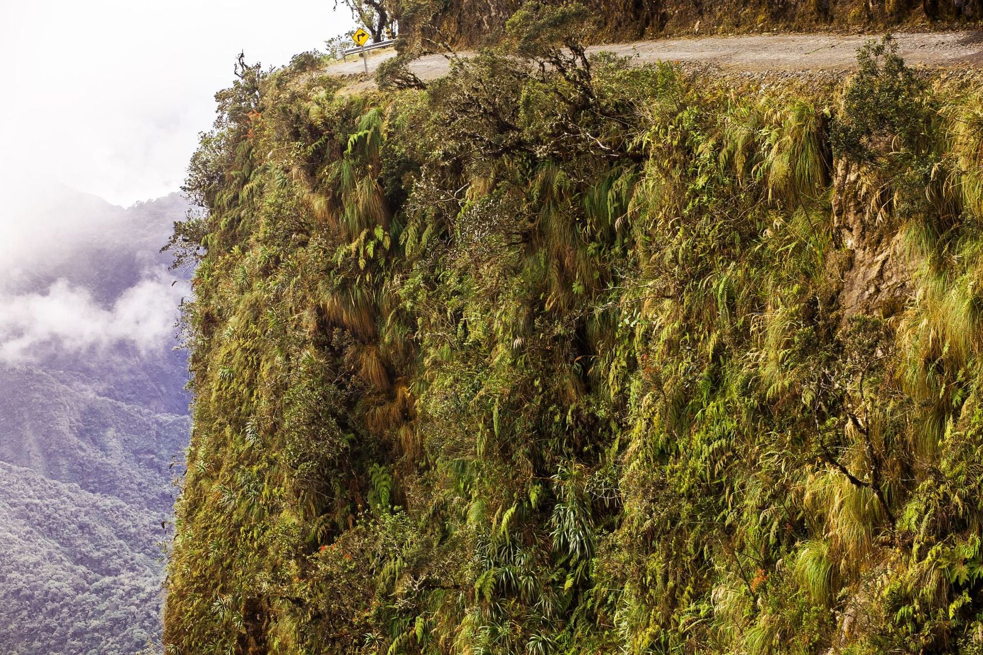
and finish in the lush Yungas rainforests of Jujuy. Plenty to choose from.
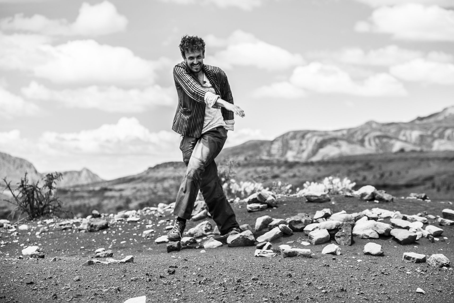
This recording was made years ago, somewhere on the edge of the Sahara, when
a Berber I met by chance explained what my surname—Tyszka—means in his language...
—roughly speaking, it translates to a small road winding through high mountains...
Back then it was hard to see any prophecy in those words ;)
but now, in the context of Serpentinium,
they take on a whole new meaning—hence including this recording,
which might actually be the best summary of how the right person ended up in the right place...
HOW TO USE THIS WEBSITE:
Below you’ll find the Serpentinium zones I’ve defined—based on Andean physical-geographical regions, culturally unique areas and other phenomenas that simply caught my attention...
– for easier navigation, each zone is placed on maps and assigned to the provinces where they are located.
A short, concise description of each zone, enriched with multimedia (photo galleries and short videos from nearby roads), can be found by clicking on the selected thumbnail below...
In some cases, you’ll also find links to maps prepared by tourism departments of selected Argentine provinces.
If you’re planning your own trip, this site gives you first-hand insight into what you can roughly expect and how to prepare...
If you simply want to explore the region or learn more about the South American Andes, you’re in the right place. You’ll find plenty of solid, practical information here.
• Short videos from Andean roads available on the channel YOUTUBE • SerpentiniumCom
Videos are uploaded irregularly, more in sync with my motivation than any schedule—mostly for a small group of friends and enthusiasts.
• All photos scattered across descriptions and galleries on this site are exclusively my own—taken in places I know, have seen, and explored...
• I occasionally share more personal reflections on my FACEBOOK
So... If you want to escape the grey winter, trade European smog,
cold and routine for South American sun, freedom, and raw energy—and experience beauty unlike anything you’ve seen before... if you’d like to have someone by your side
who speaks Polish and understands your cultural context, there is also an option for me to become your real—not just virtual—navigator across Argentine SERPENTINIUM!
– read the section PARTICIPATION IN THE PROJECT below and get in touch.
SERPENTINIUM - ZONES:
Click on a selected module to learn more...
1.DIUNA
provinces Salta, Catamarca
2.SOLARIS
Salta, Juyuy, Bolivia, Chile
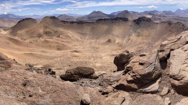
3.PEAKS
Catamarca, Salta, San Juan, Mendoza
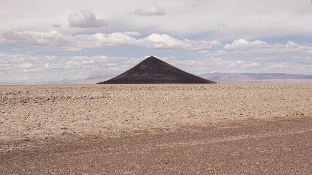
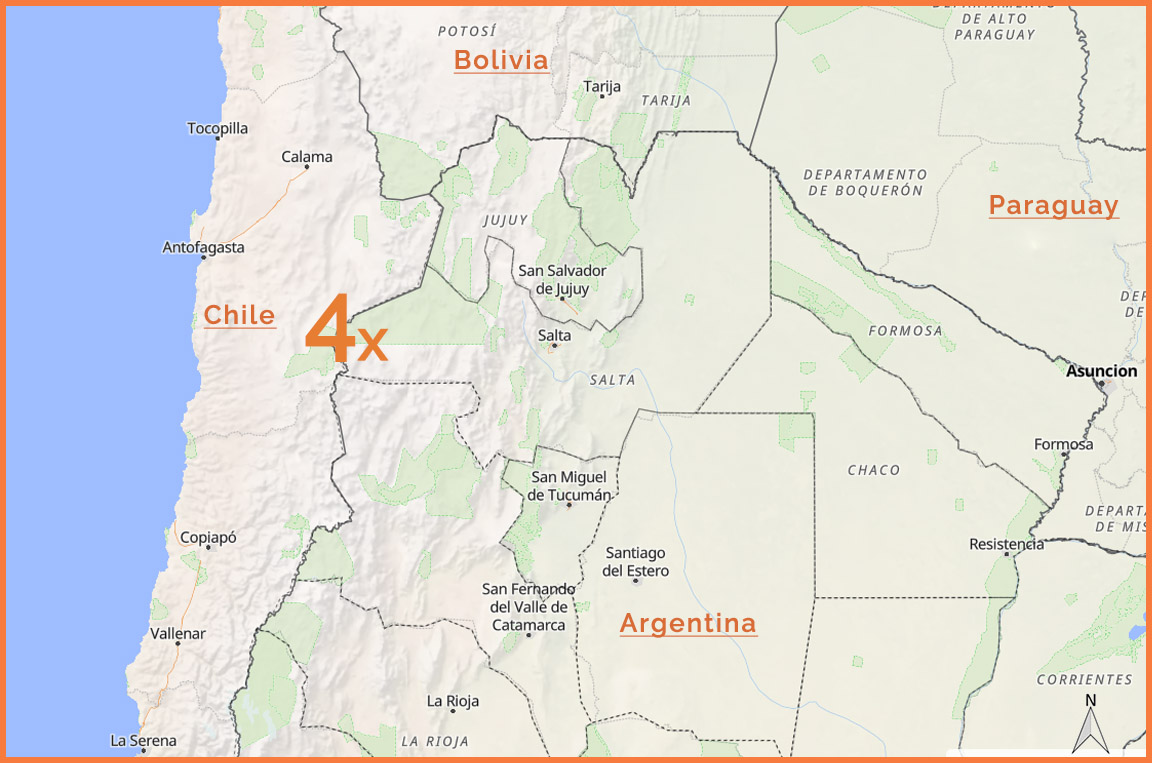
4.CONO DE ARITA
Salta
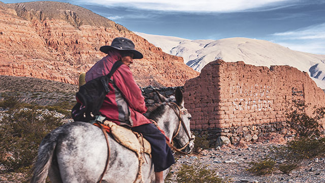
5.VALLES CALCHAQUIES
Catamarca, Salta
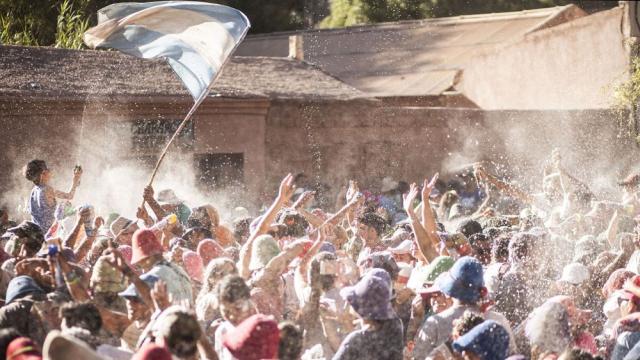
6.QUEBRADA HUMAHUACA
Juyuy
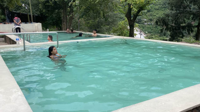
7.HOT SPRINGS
Catamarca, Salta, Juyuy
8.VILLAZON
Bolivia
9.CROSSINGS WITH CHILE
Argentina/Chile
10.SERPENTINES
the best of
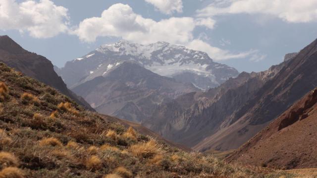
11.ACONCAGUA
Mendoza
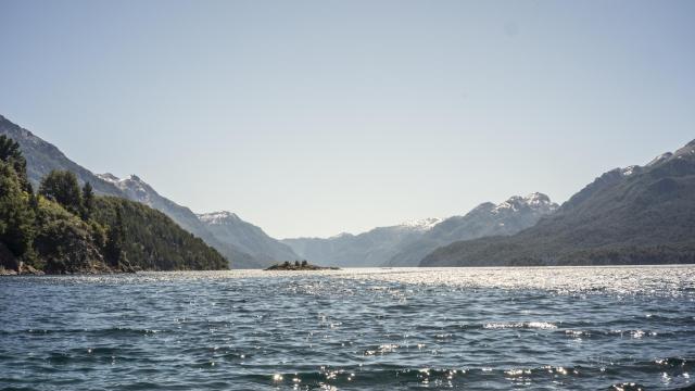
12.PATAGONIA
Neuquen, Rio Negro, Chubut
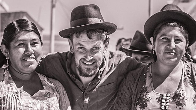
13.BOLIVIA
this and that...
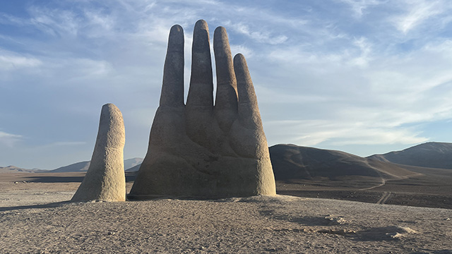
14.CHILE
the north
DUNE • Provinces: Salta, Catamarca, Jujuy
DESCRIPTION:
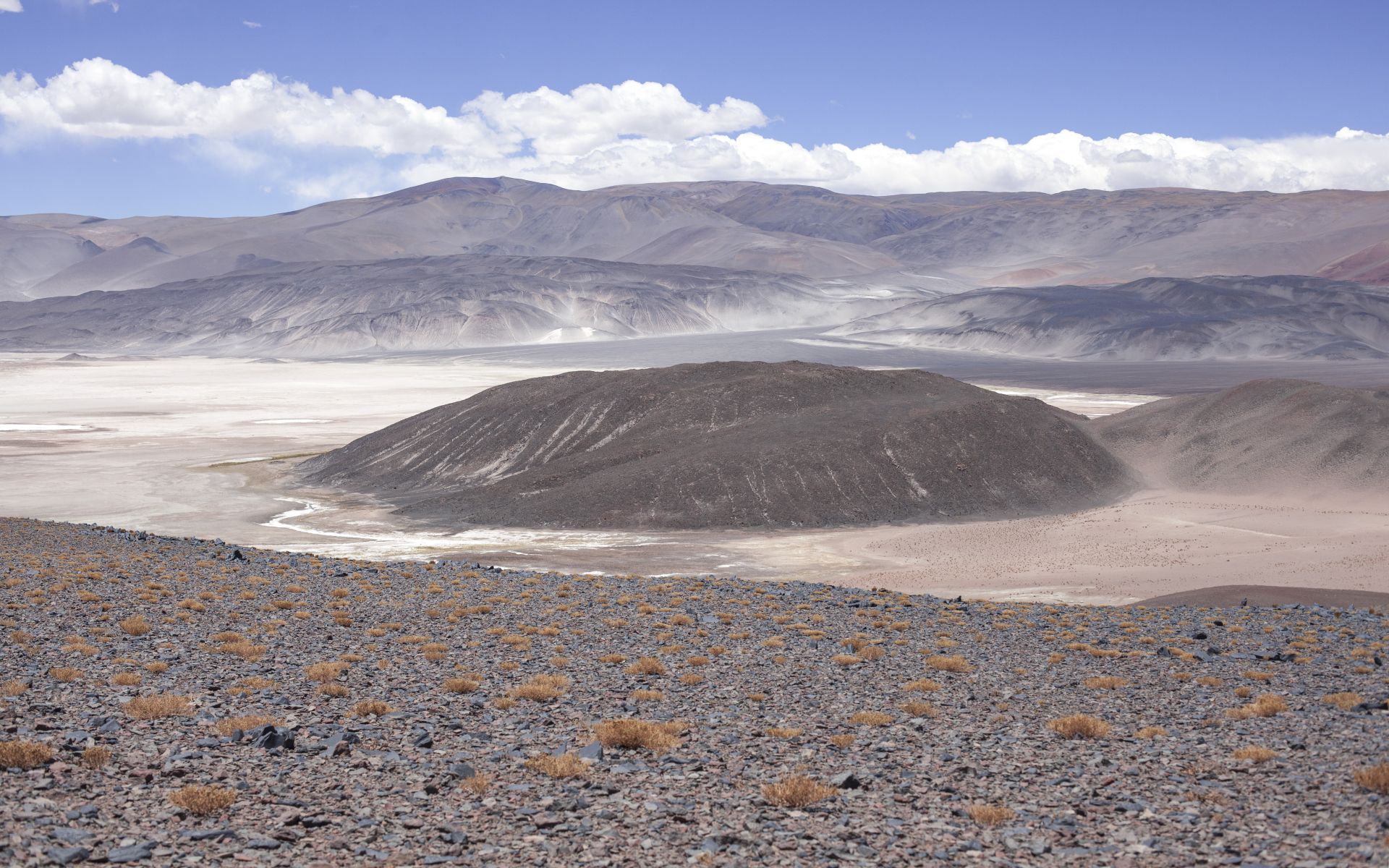
PUNA DE ATACAMA—because that’s what we’re talking about—is a विशाल
physical-geographical region (approx. 80,000 km²) in the northern part of the Argentine–Chilean borderlands...
No point pretending—this is one of my favorite directions and a major reason to fire up the Jeep for a longer trip.
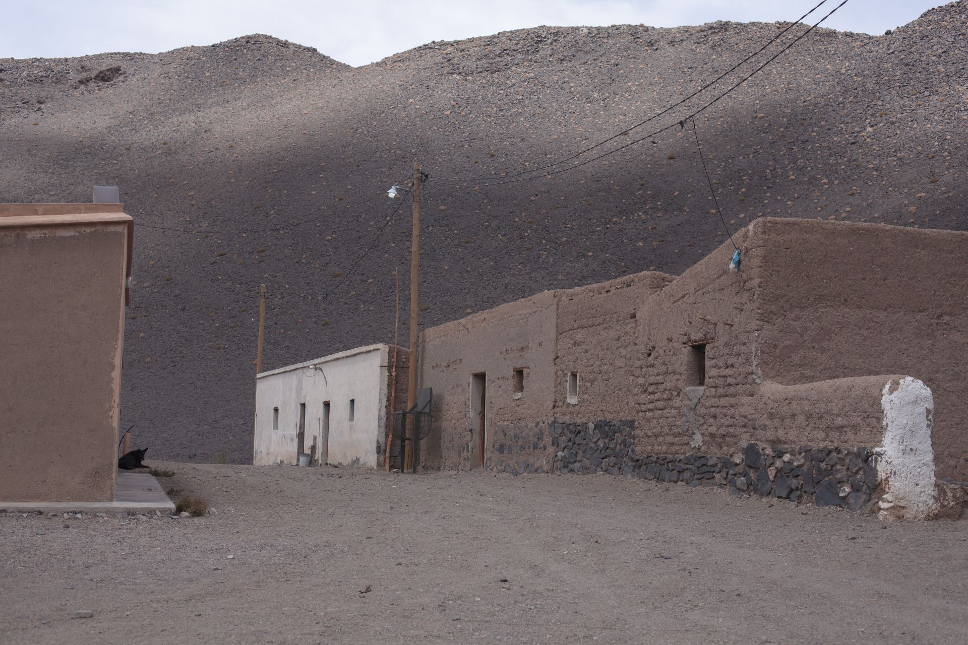
The region is demanding: hundreds of kilometers of difficult terrain between one inhabited point and the next.
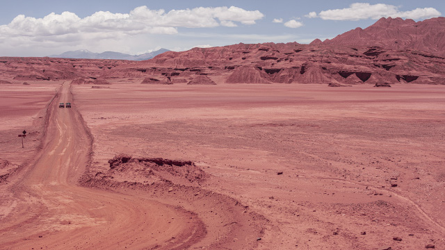
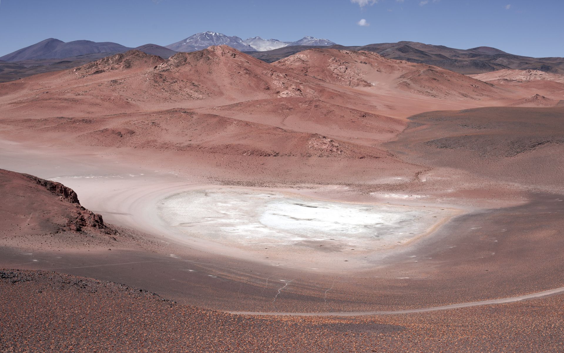
Almost everything sets it apart from the rest of the world’s climates. It feels like a place outside the world—something from another planet...
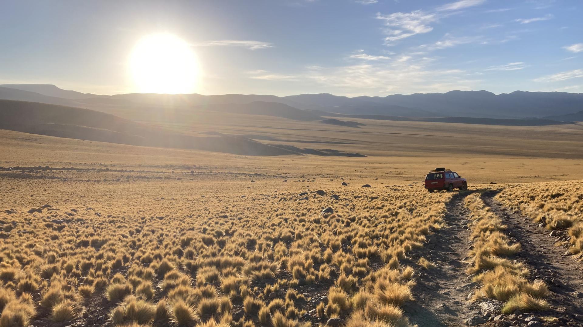
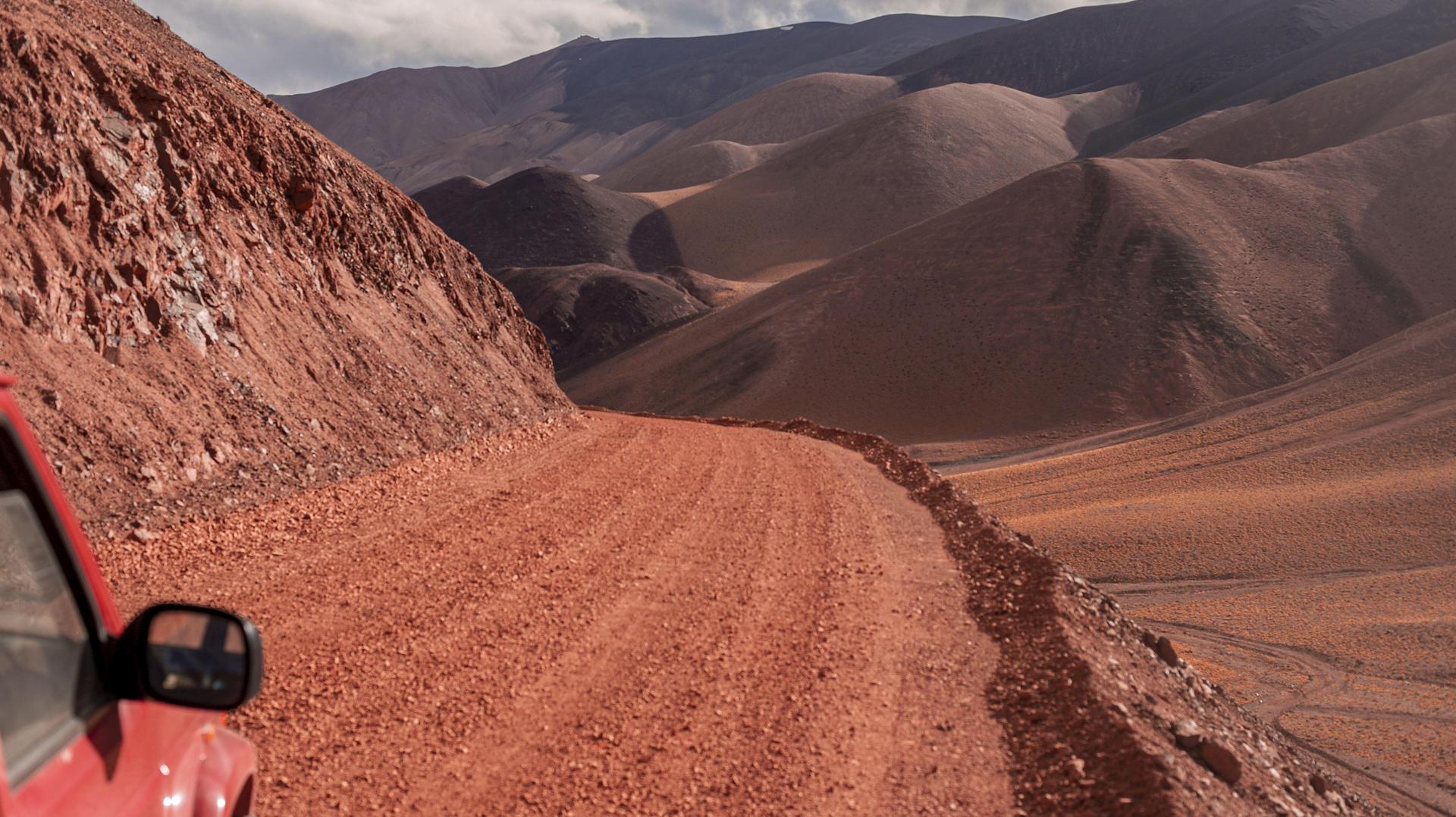
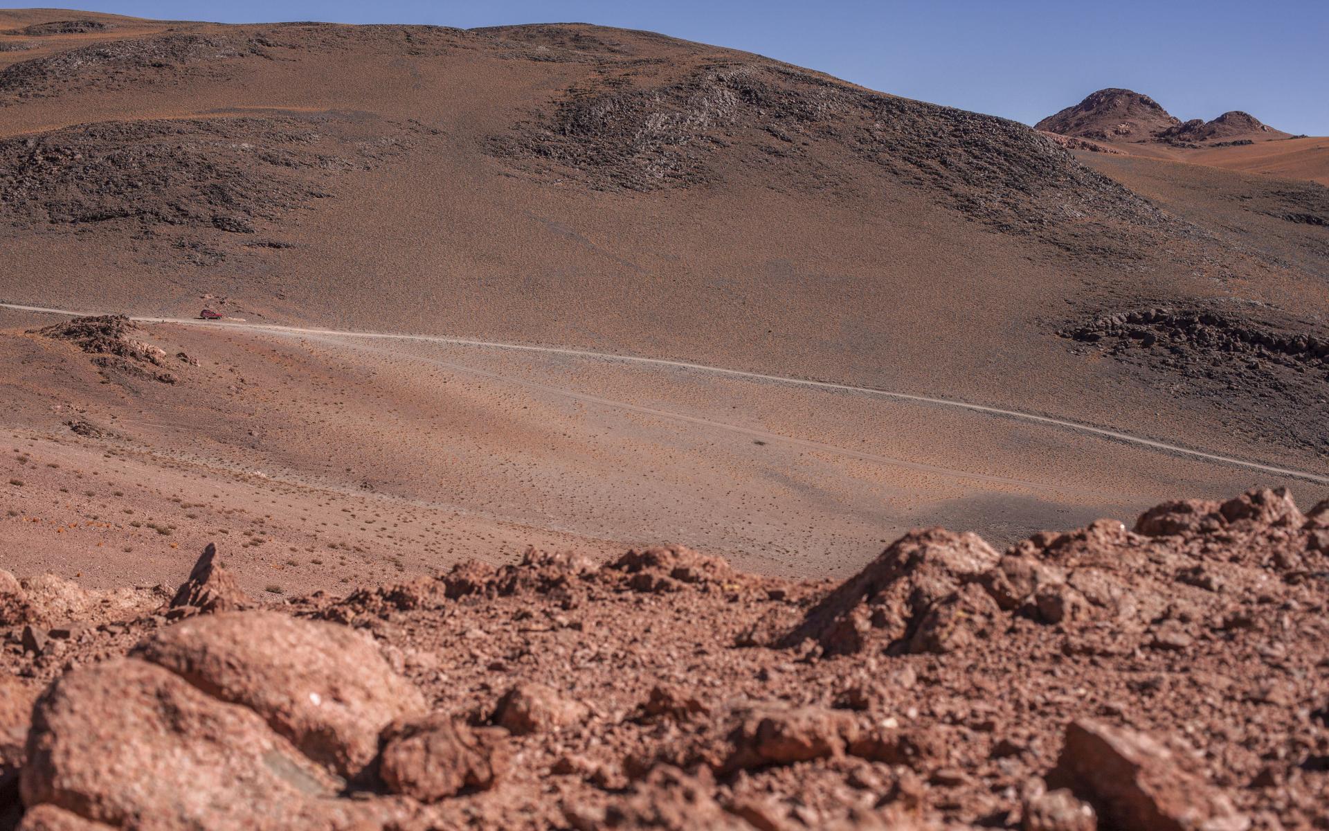
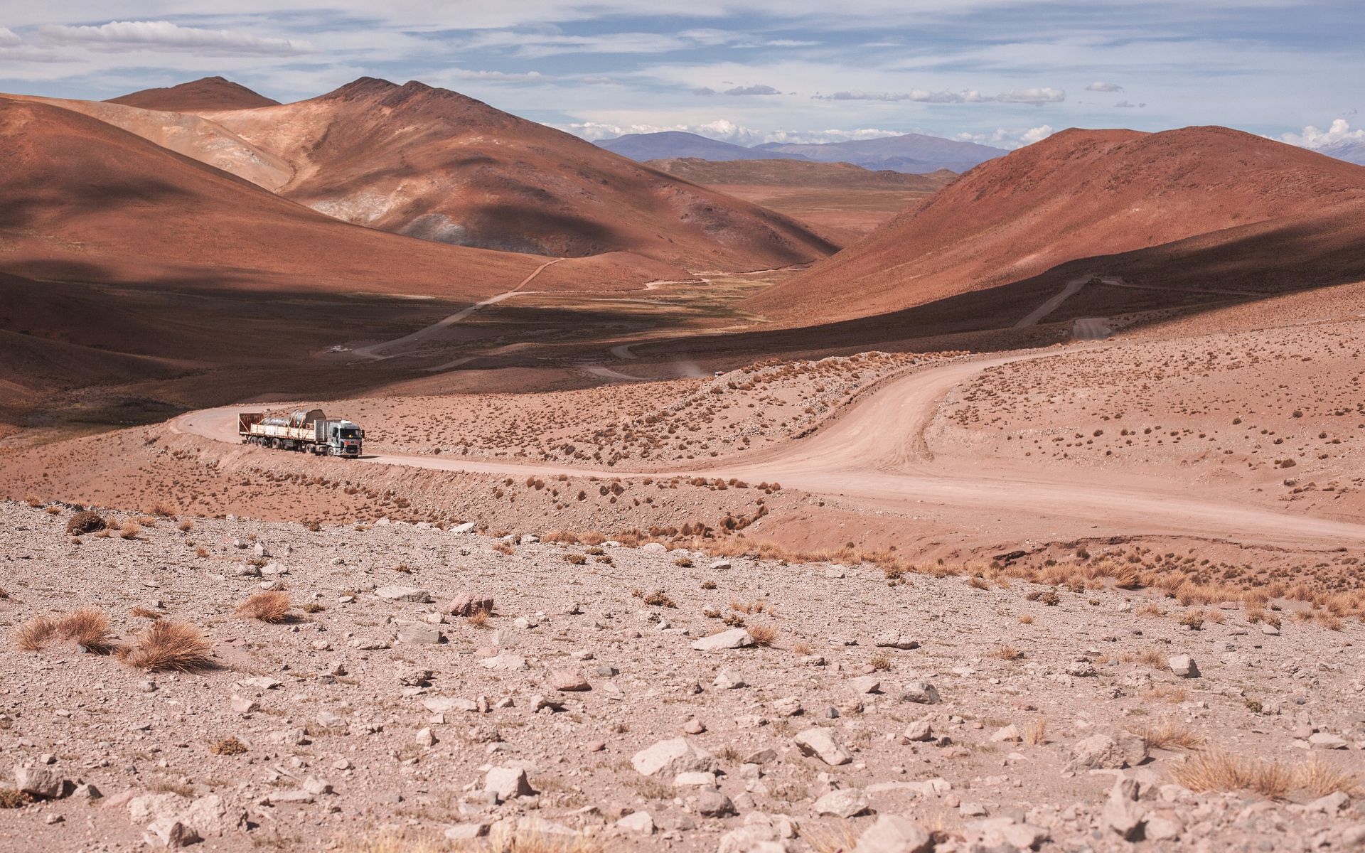
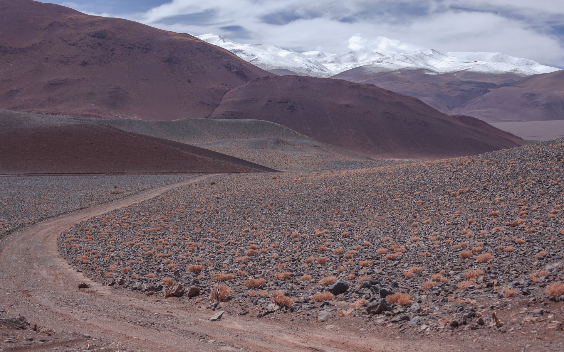
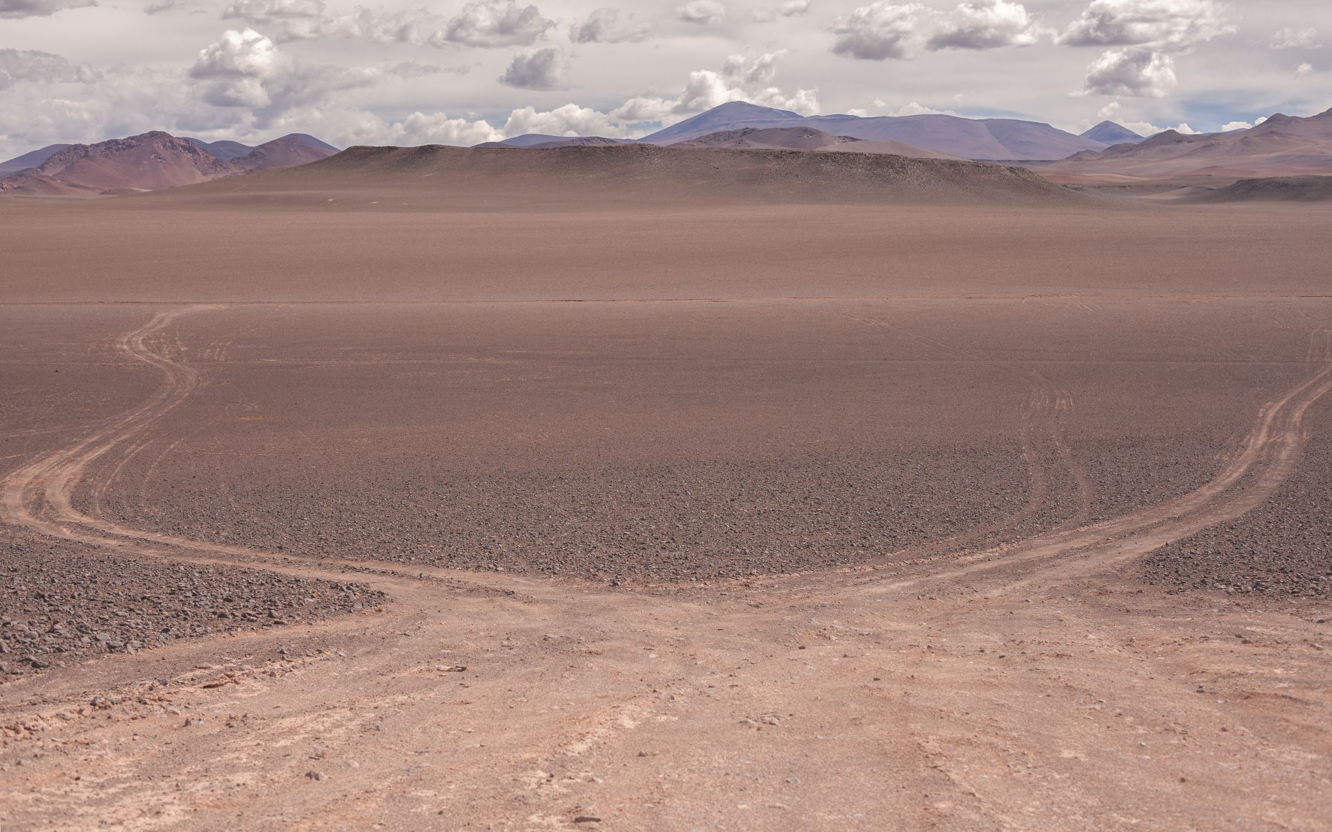
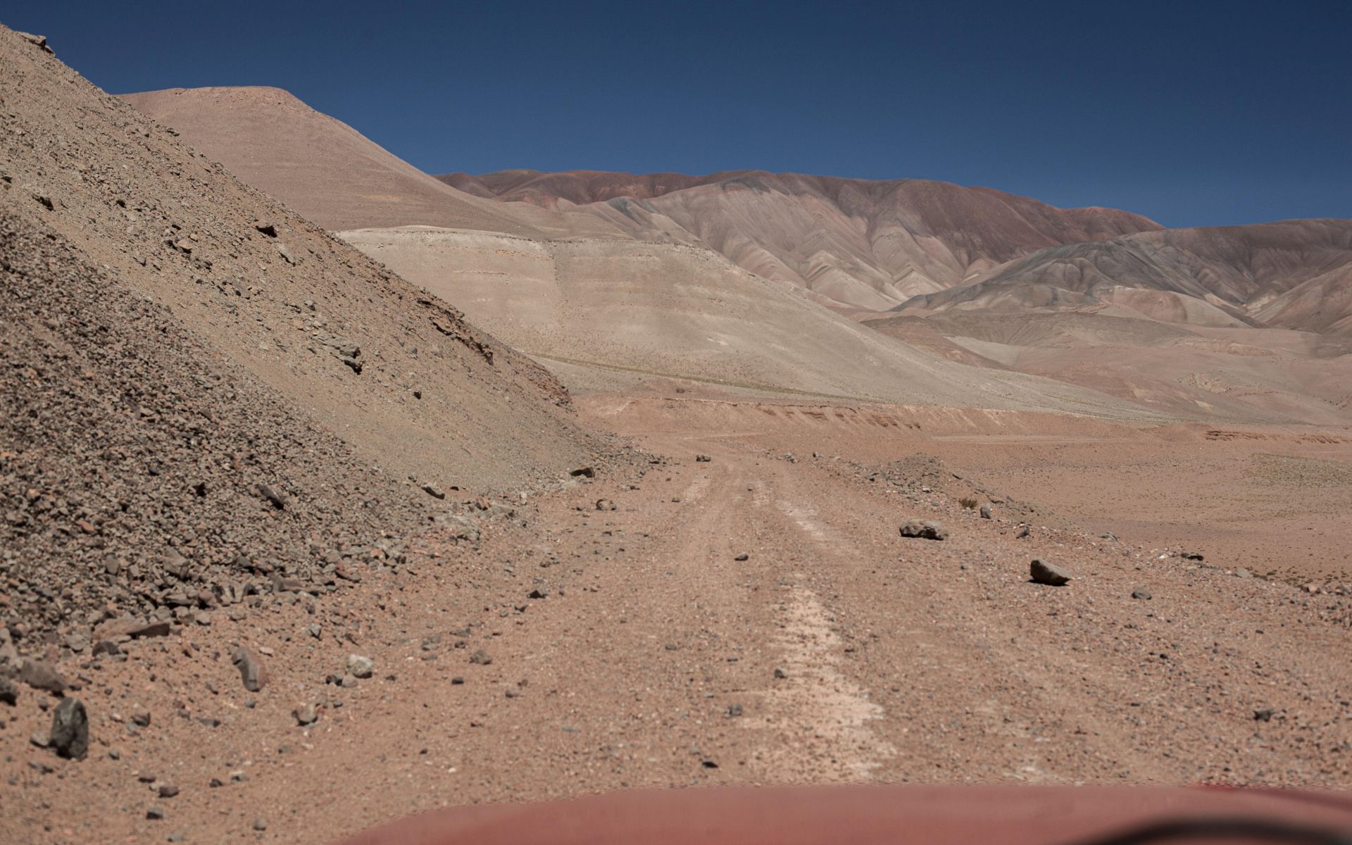
Hours—dozens of hours—of pushing through remote terrain on barely passable gravel roads, often above 4,000 meters above sea level.
At times extremely hot—deserts, salt flats, and towering volcanic peaks reaching nearly 7,000 meters
( Ojos del Salado – 6,893 m above sea level, the highest active volcano on Earth, is right here... )
It’s just you, the horizon, and a raw, overwhelming sense of space. The energy pouring out from ridgelines, volcanic cones, and other surreal places hits you like a broadband, invisible signal straight into your brain.
Coca leaves can sometimes help prevent painful overload—quite likely at these altitudes without proper acclimatization.
The dry, crystal-clear air extends visibility, enriching perception with a spectrum of colors unavailable elsewhere.
The first-day oxygen shock usually triggers in me a strange, euphoric compensatory reaction—guiding thoughts into territories
you wouldn’t even know existed while living in a city.
I like this kind of natural high—and often can’t wait to feel it again ;)
Unfortunately, on day two it’s usually not quite as magical—which is why I tend to prefer one-day ascents of nearby 5,000-meter peaks.
Cold, star-filled desert nights and harsh, vertical sunlight create exactly the effect they taught in school—nighttime cold gives way, a few hours after sunrise, to extreme heat.
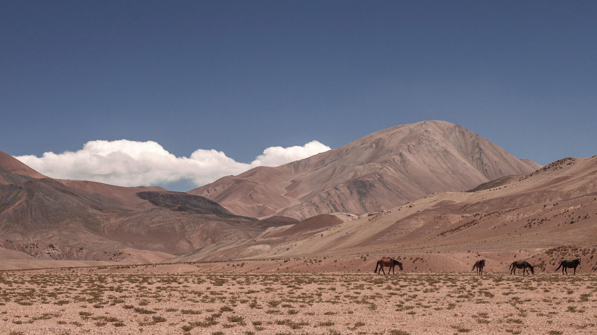
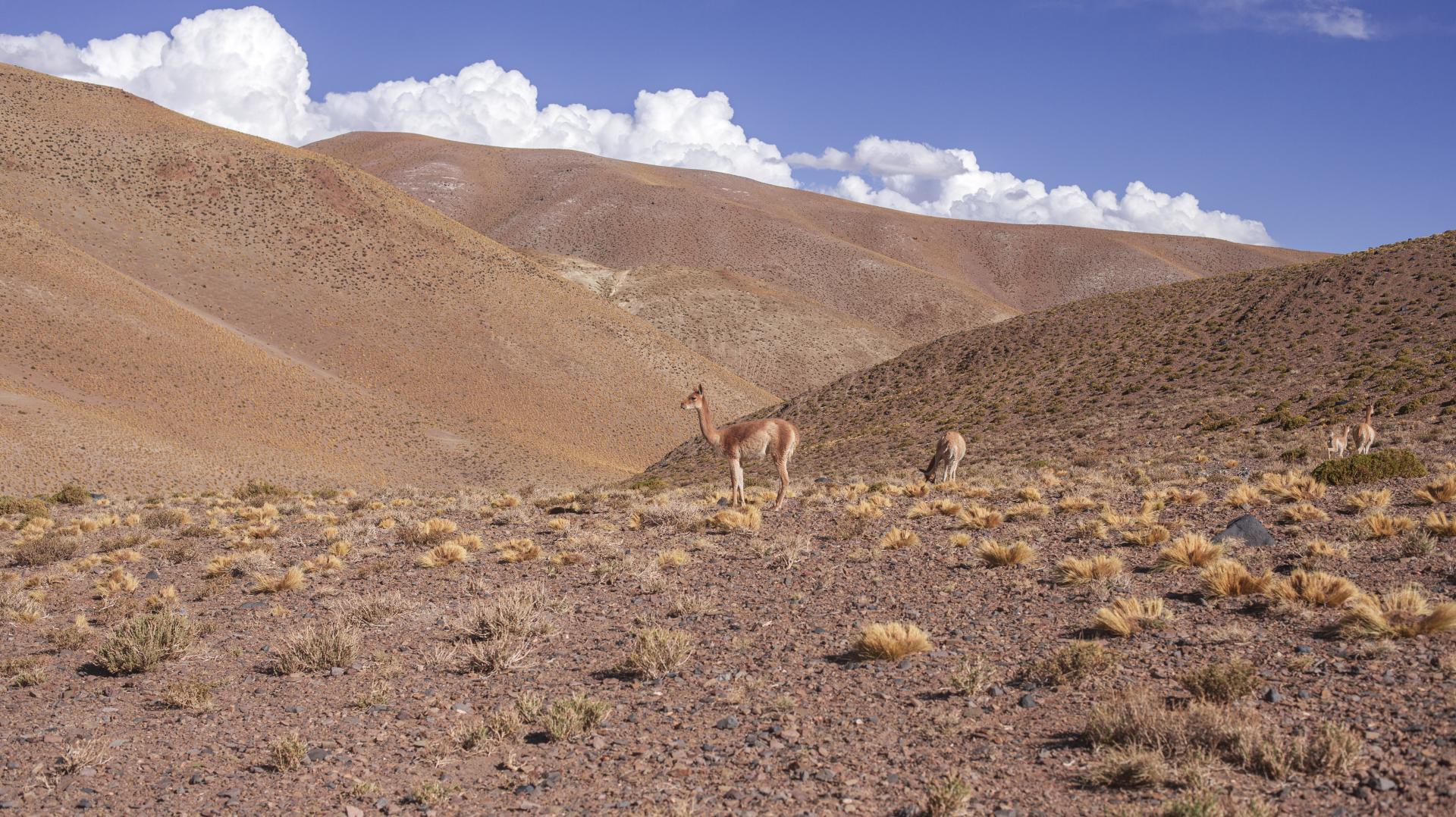
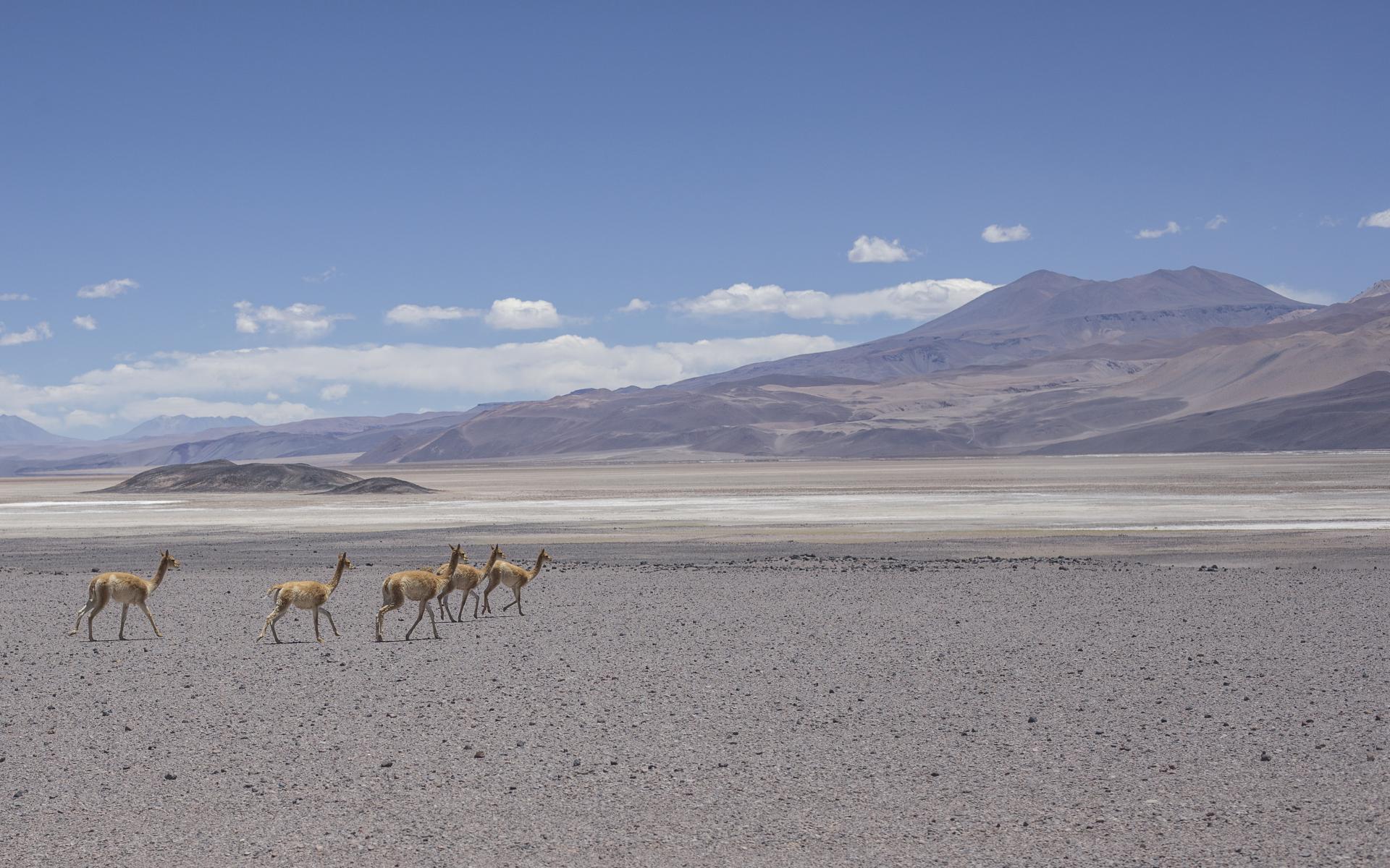
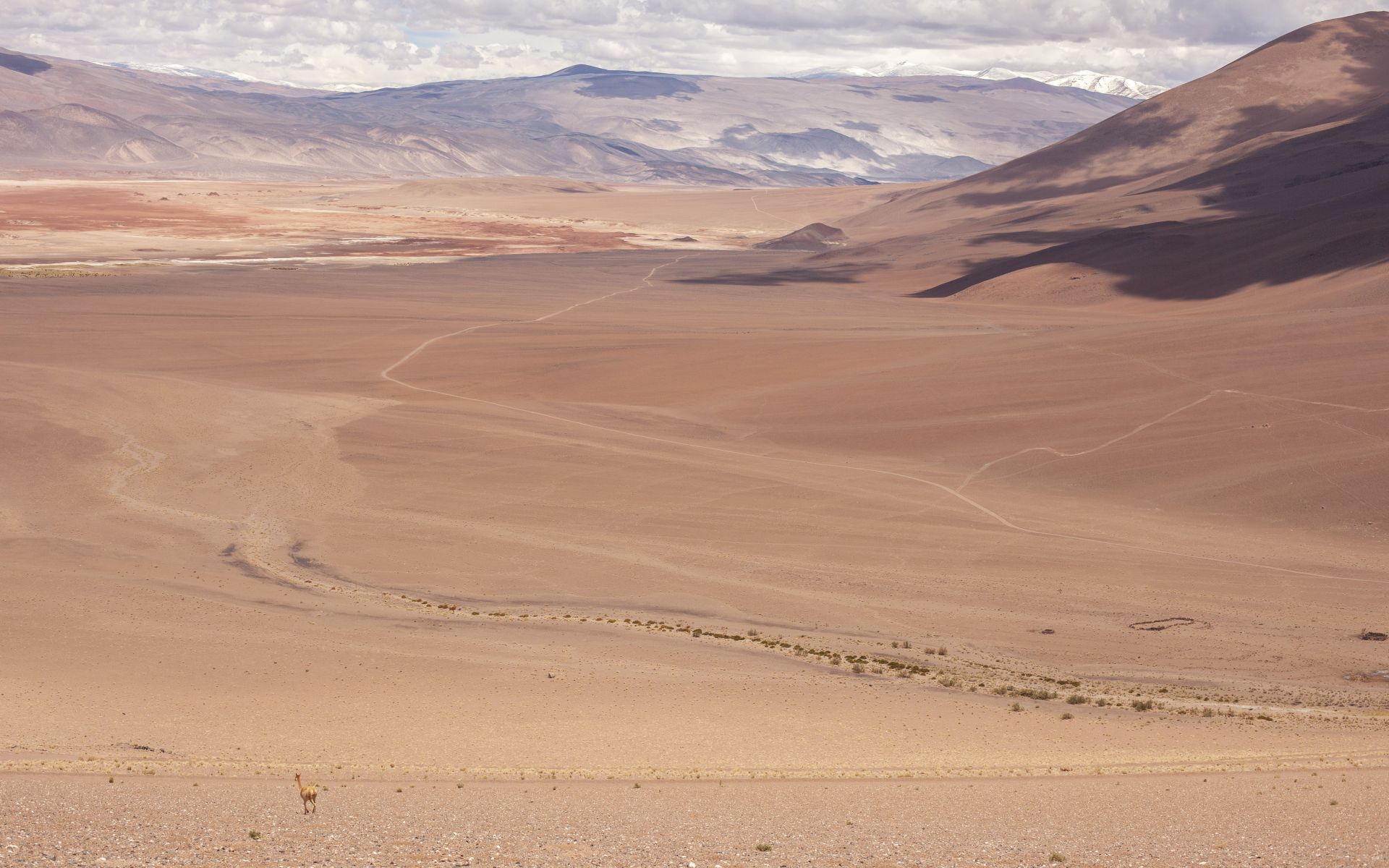
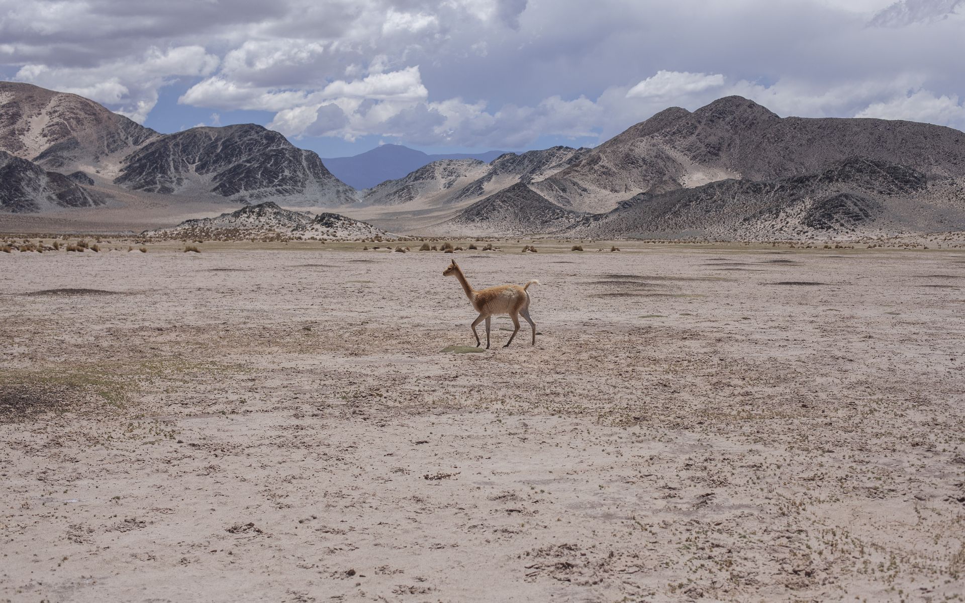
Such conditions limit life to very few species. You mostly see groups of vicuñas moving across the landscape among sparse vegetation struggling to survive.
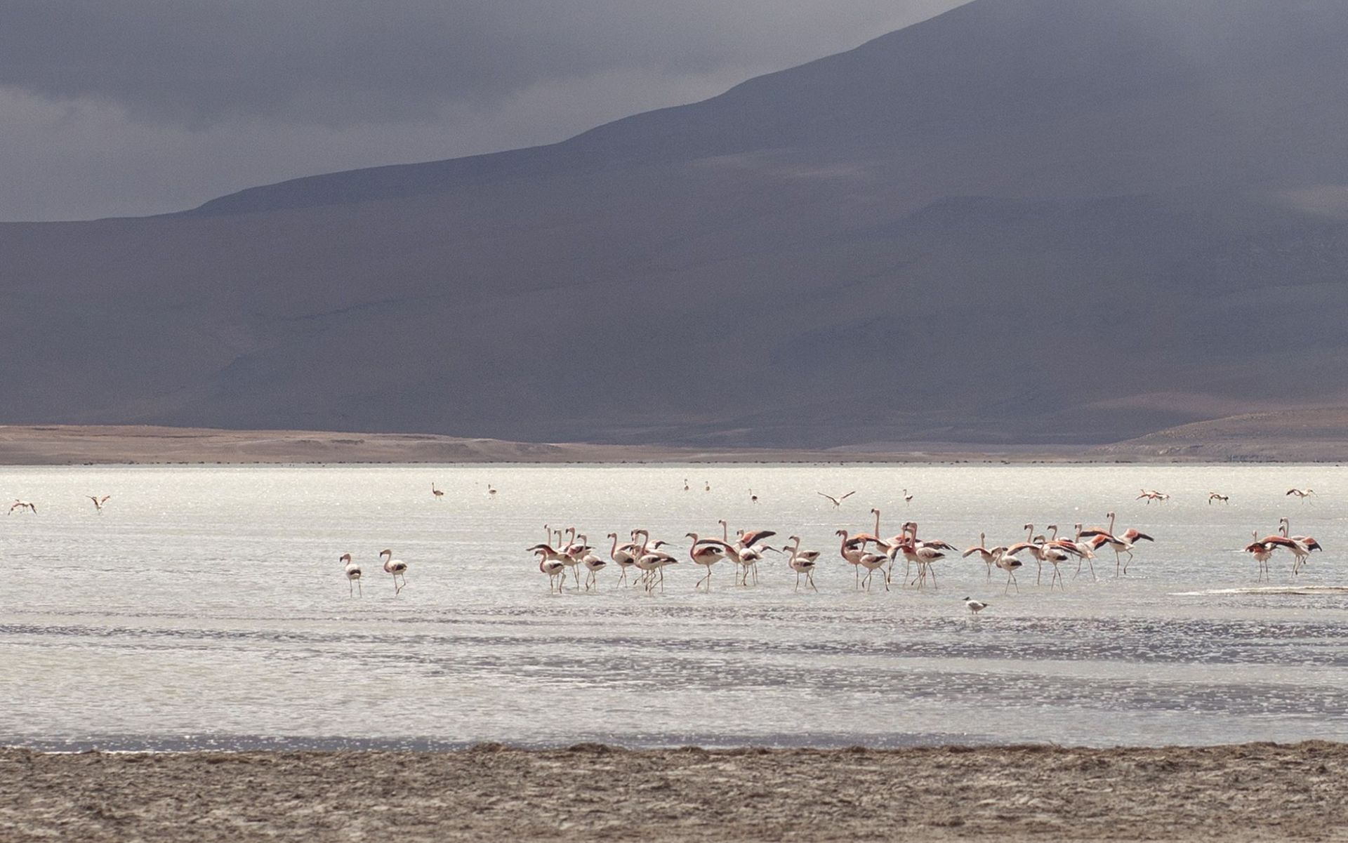
Occasionally, you’ll also spot flamingos that somehow fit perfectly into the color palette.
I’ve already driven the “Dune” several times, each time slightly modifying the route to give myself a chance to discover new places or atmospheres. And it always turns out there’s more to uncover...
a forgotten old road, a hidden climb, an abandoned mine, a night crossing, an approach from a different direction... there’s always another new, euphoric scene waiting.
LOCATION:
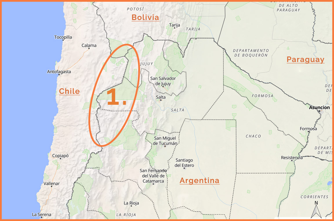
VILLAGES:
San Antonio de los Cobres, Susques, Catua, Pocitos, Tolar Grande, Antofalla!!! Antofallita, Antofagasta de la Sierra
ROADS:
RN40, RN51, RP27+RP27bis Salta, RP44 Catamarca, RP43 Catamarca + numerous shortcuts, connectors, detours—sometimes passable, sometimes not.
MY VIDEOS:
MAPS TO DOWNLOAD (pdf):
part in SALTA province (turismosalta gov ar)
part in JUJUY province (turismojujuy_gob_ar)
part in CATAMARCA province
GALLERY:
KONTAKT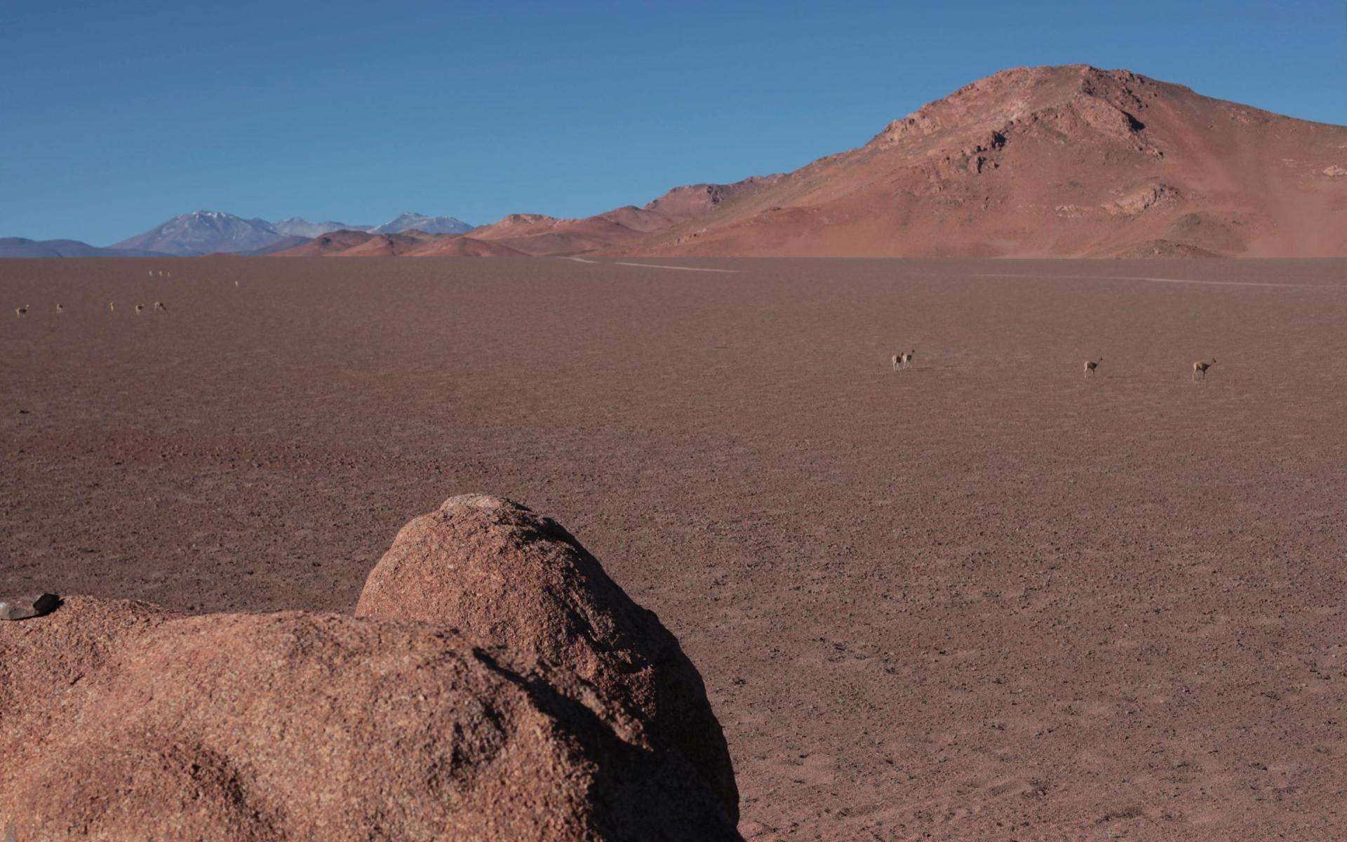
SOLARIS • Provinces: Salta, Jujuy + Bolivia, Chile
DESCRIPTION:
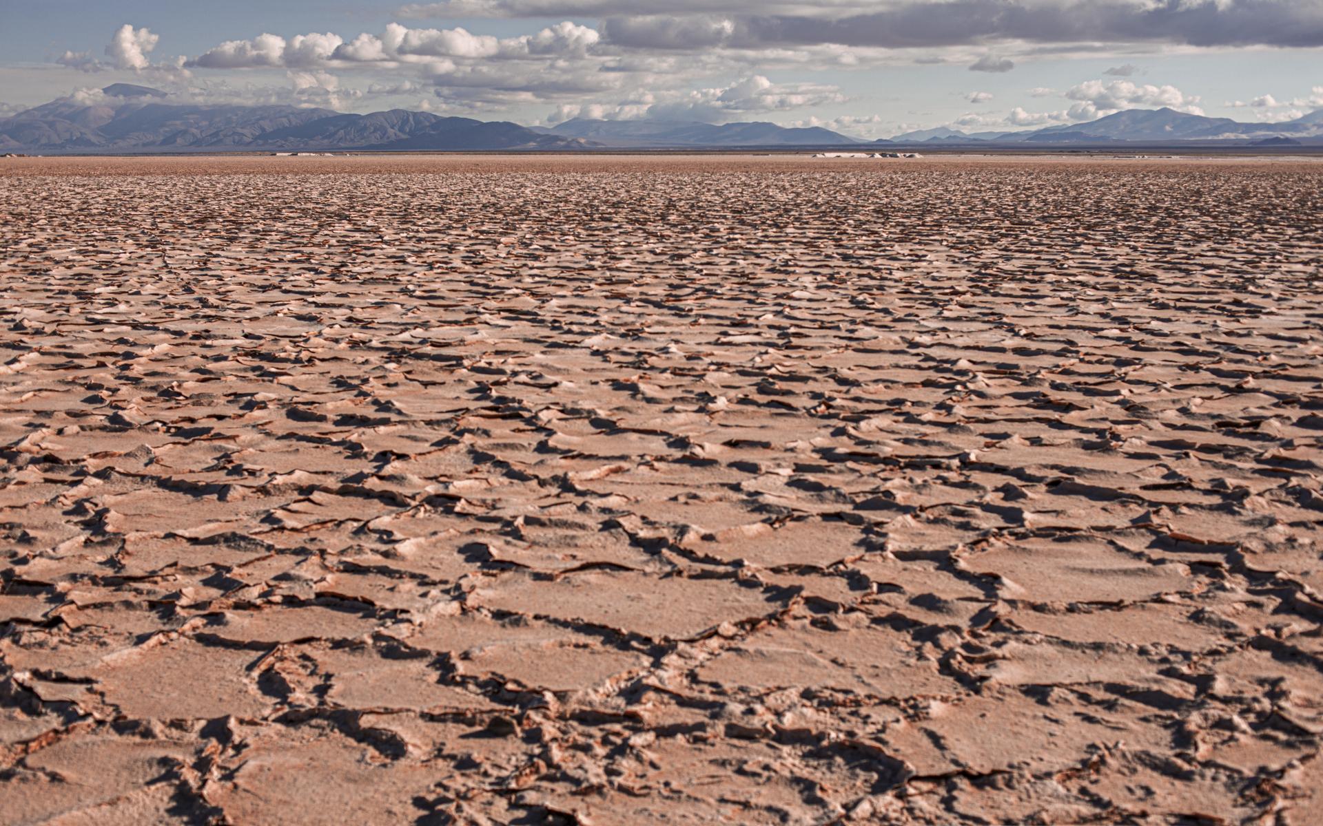
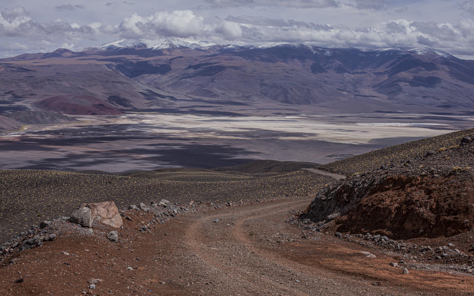
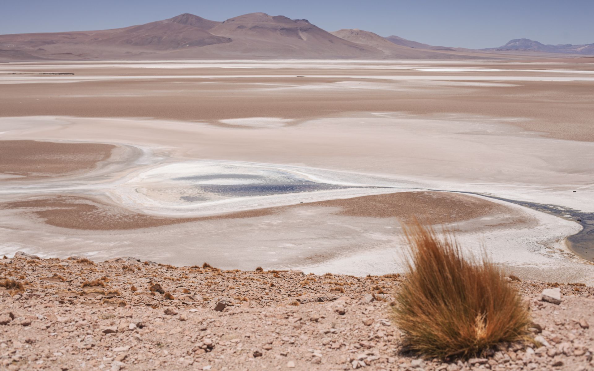
The presence of SALT FLATS (SALARS) overlaps geographically with the lithium extraction triangle that has gained prominence in recent years. So once again, we are talking about the Argentine–Chilean–Bolivian borderlands...
Exceptionally scenic Andean salt flats stretch across tens of thousands of square kilometers of plateaus and high-altitude basins,
at elevations of around 3,000–4,000 meters.
Extreme sunlight, high daytime temperatures, lack of clouds, low humidity, high evaporation...
Water carrying minerals flows into closed basins (mainly from springs, underground rivers, and high-altitude lakes,
but outside Atacama also from rainfall), quickly evaporating and leaving behind salt and minerals.
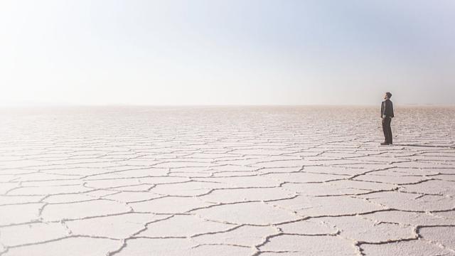
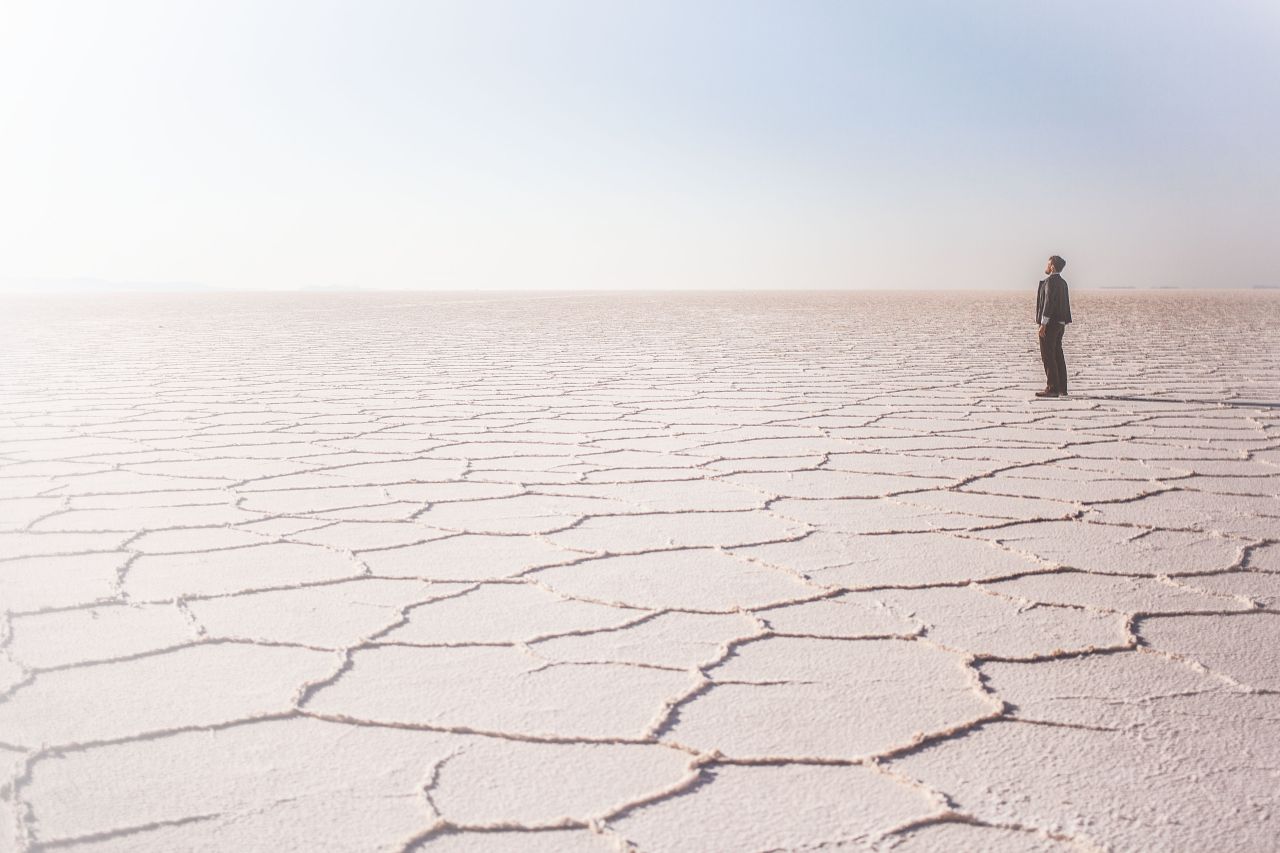
What remains is lithium-rich brine—this is how a salt flat is formed.
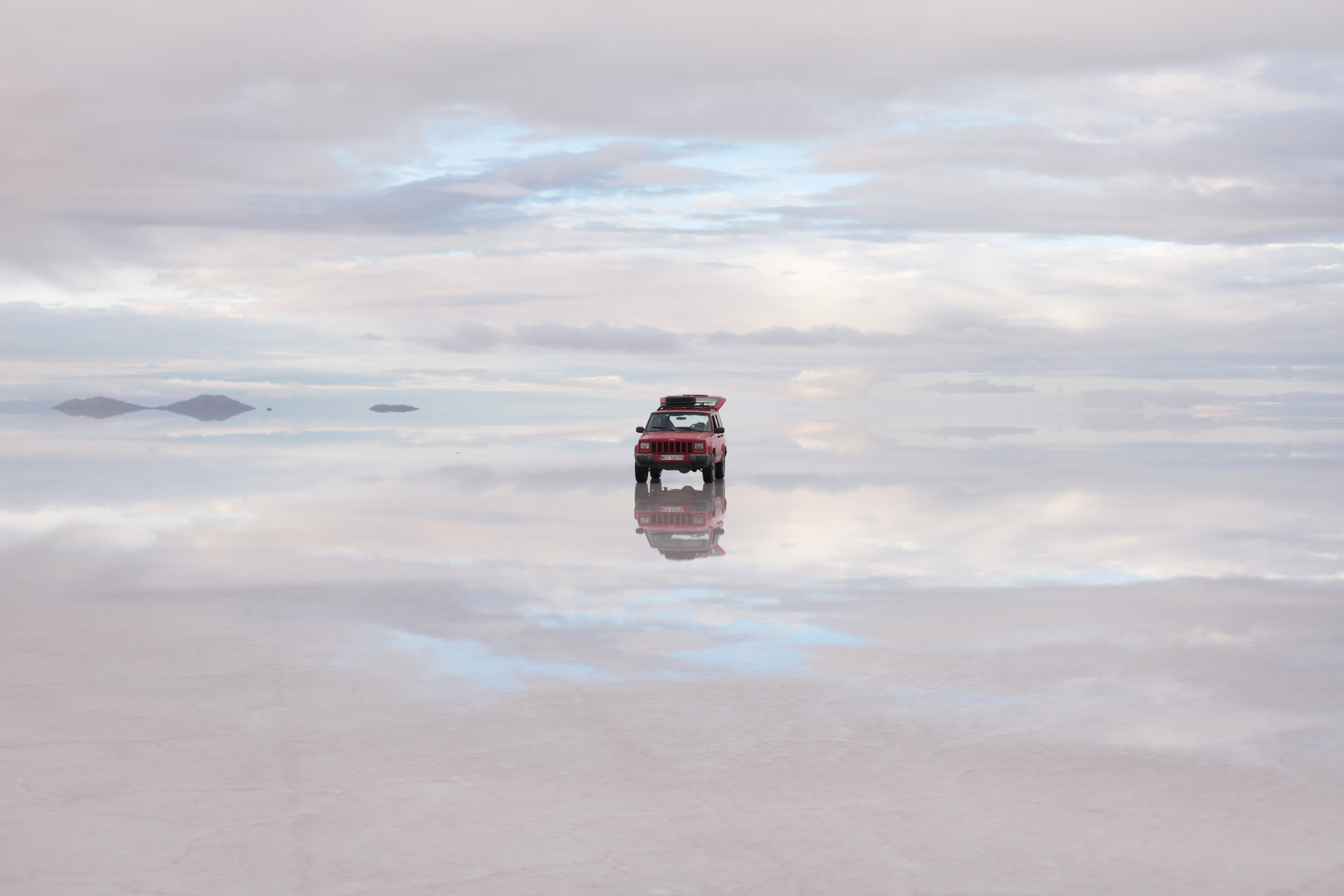
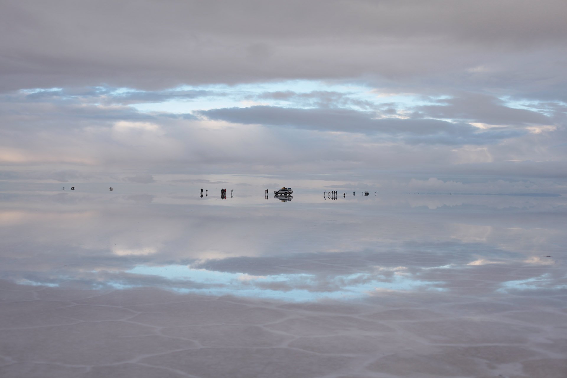
That’s why salt flats are flat, white, “burned out” surfaces—perfect for photography,
but also for industrial lithium extraction.
LOCATION:
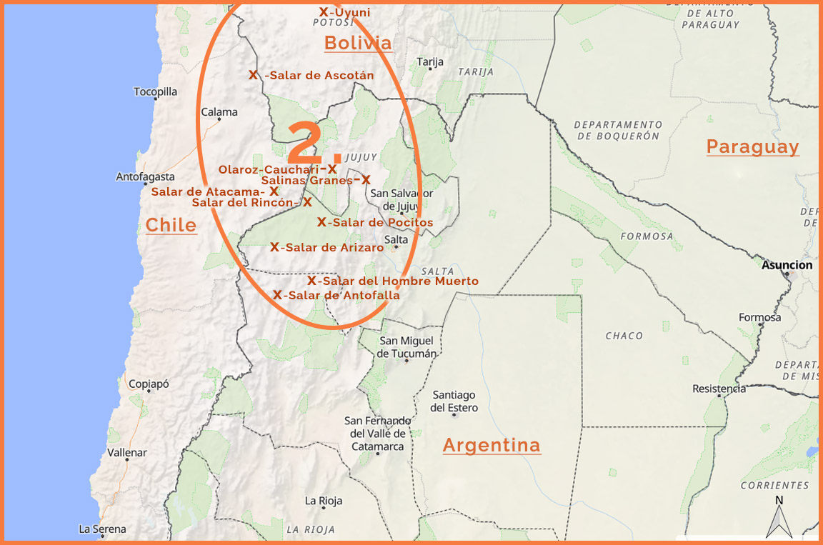
SALT FLATS – ARGENTINA:
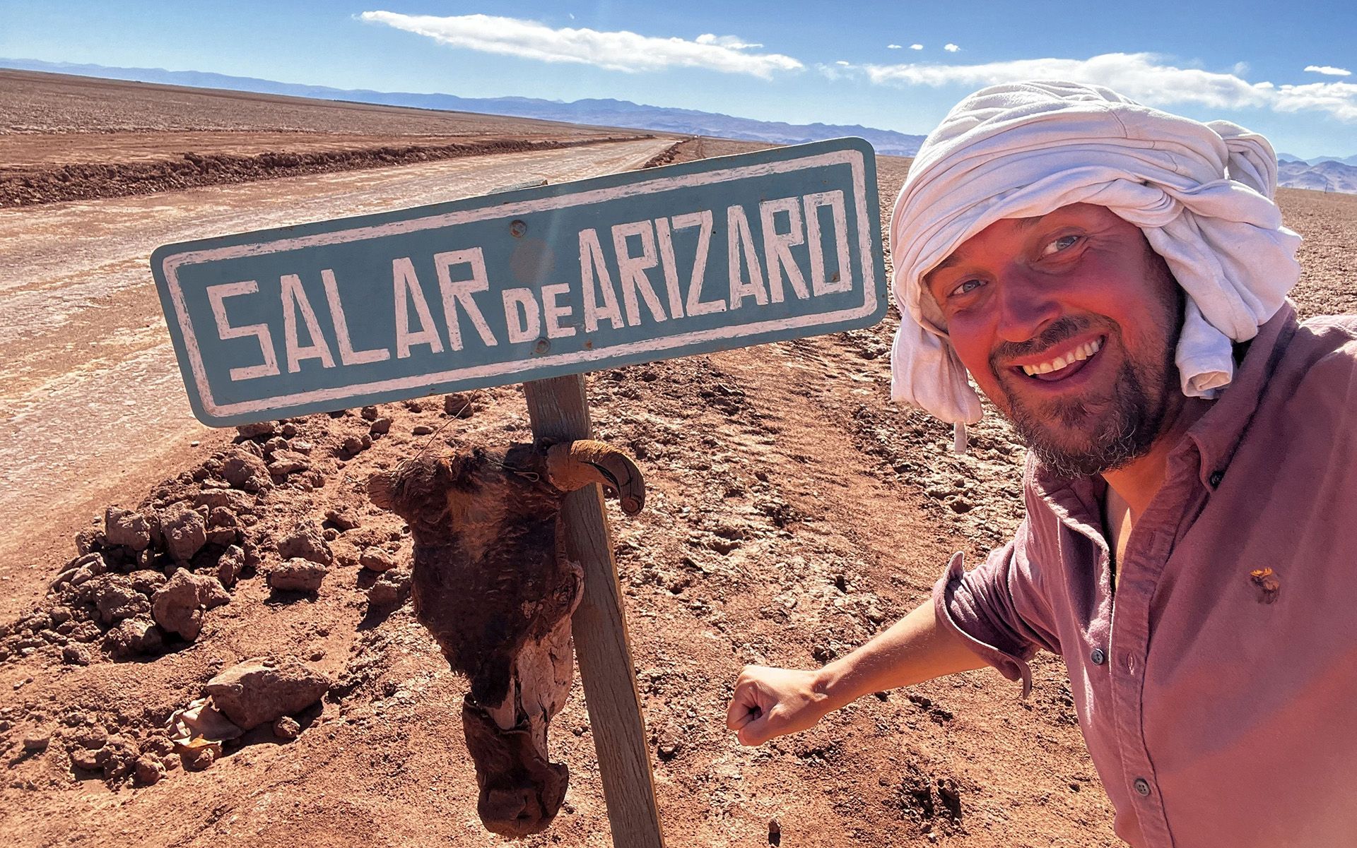
Arizaro, otherworldly Antofalla!, Salinas Grandes, Rincón, and industrially exploited – Olaroz and Hombre Muerto
SALT FLATS – BOLIVIA:
The largest salt flat in the world – Uyuni

SALT FLATS – CHILE:
Salar de Atacama (a lithium production giant), Salar de Ascotán, Salar de Quisquiro

PEAKS • Catamarca, Salta, Jujuy
DESCRIPTION:
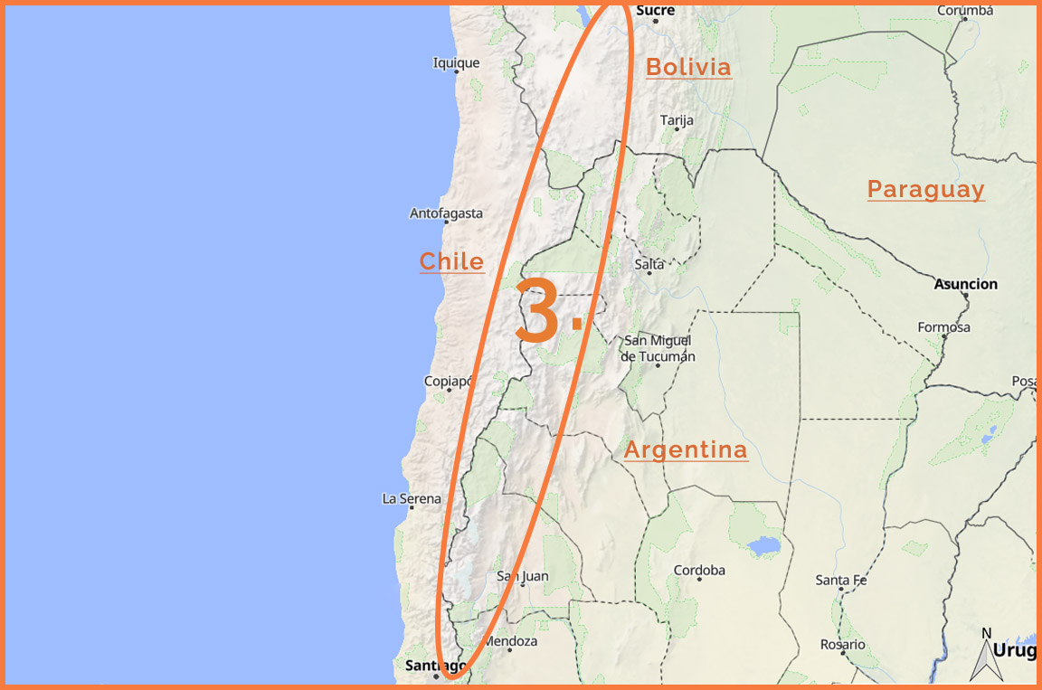
The number of mountain peaks at least 5,000 m above sea level located along the Argentine–Chilean border belt [from the latitude of Santiago/Mendoza northwards + southern Bolivia up to the latitude of Chuquisaca (Sucre)]
runs into the hundreds, and equally attractive 4,000-meter peaks likely into the thousands...
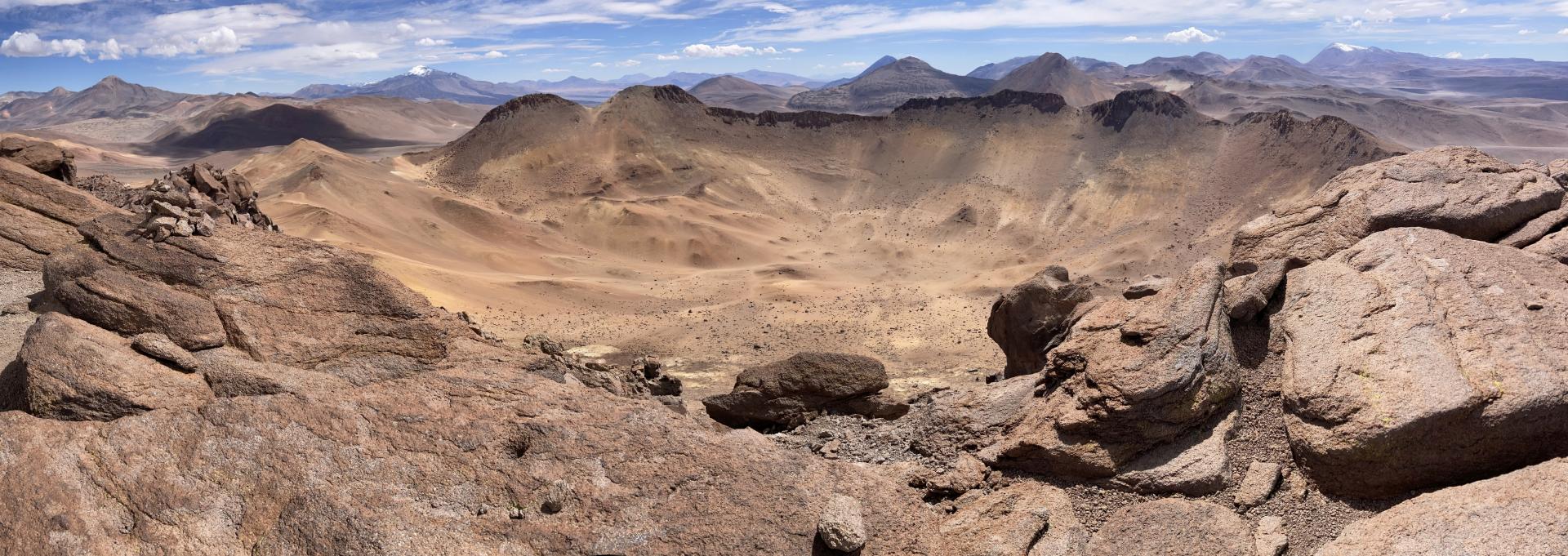
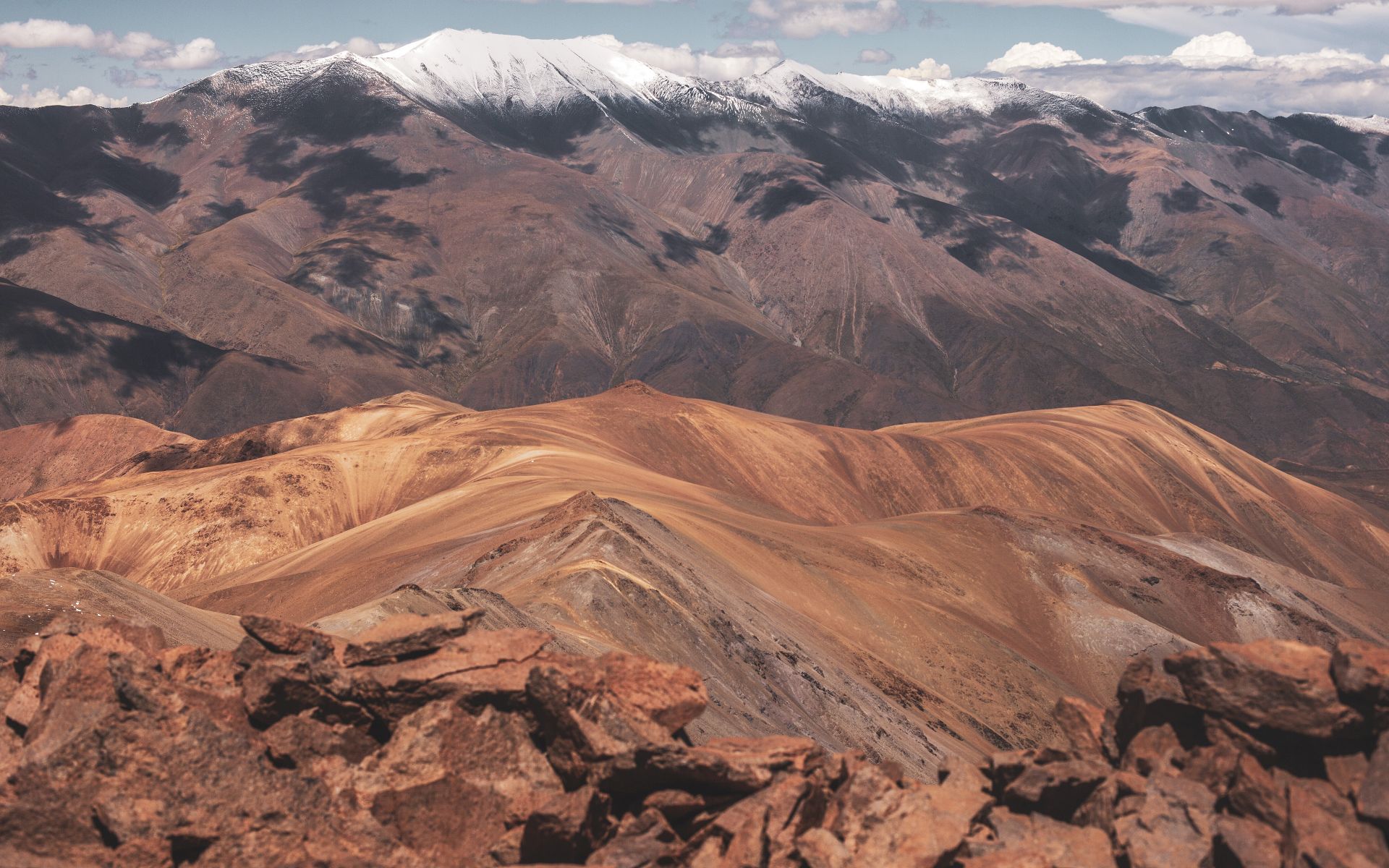
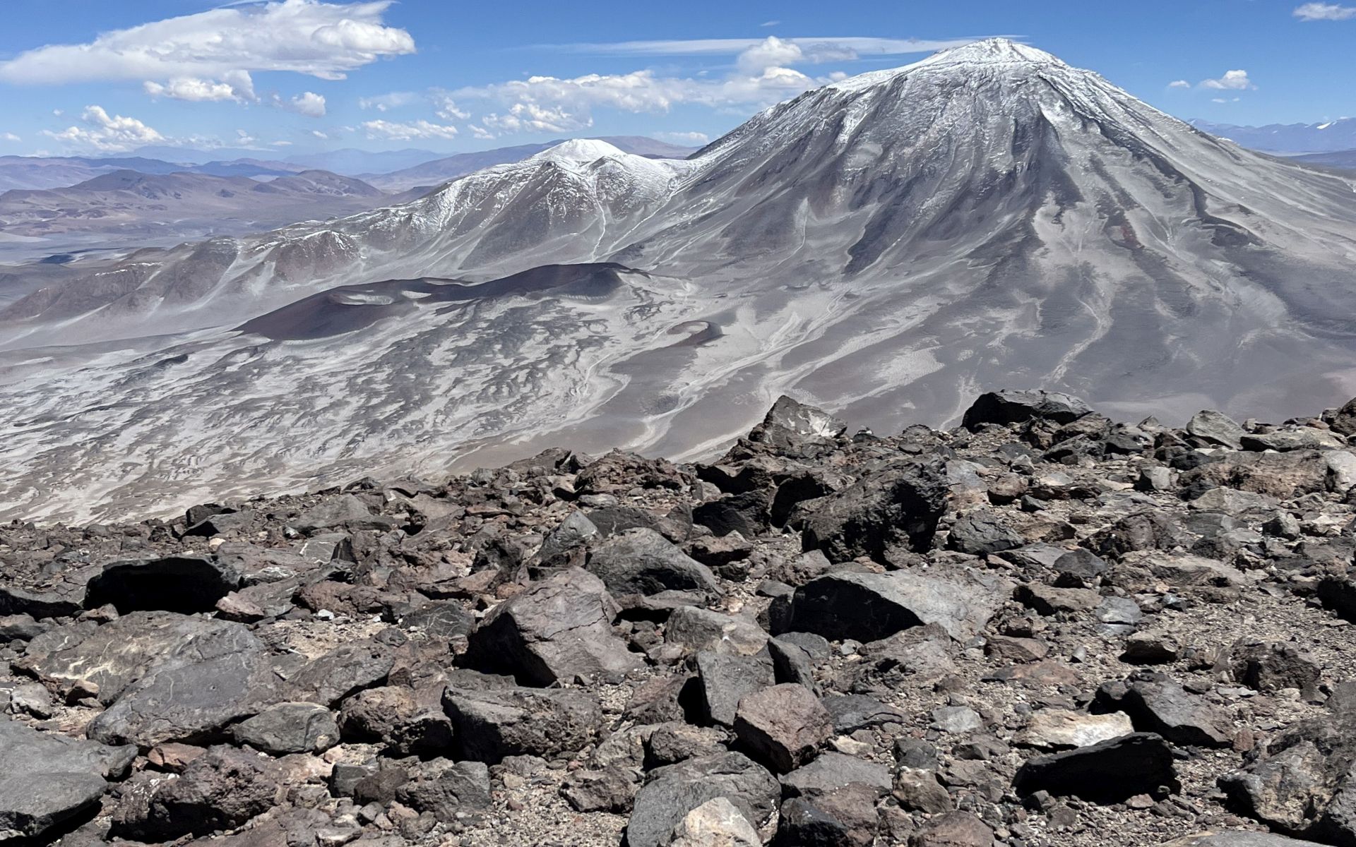
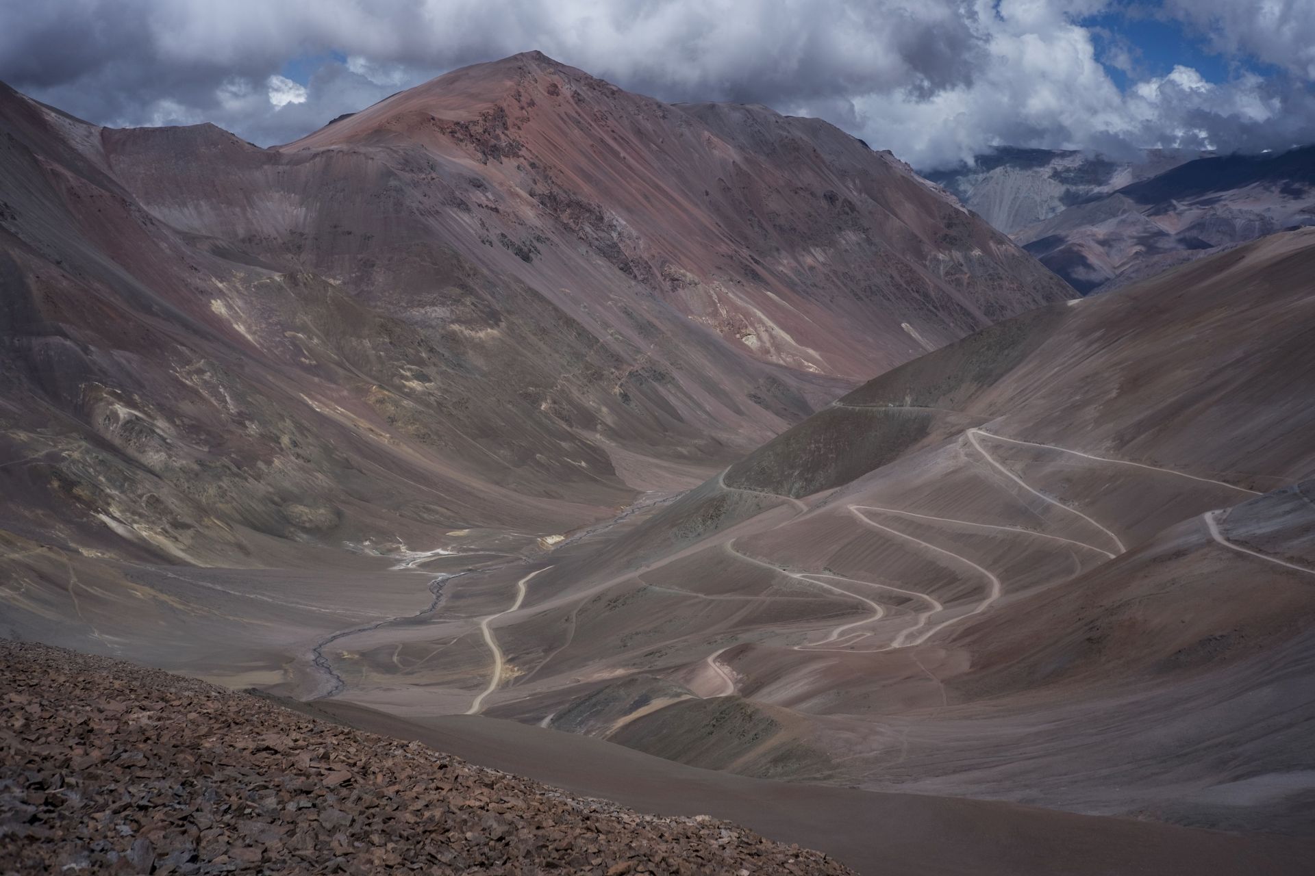
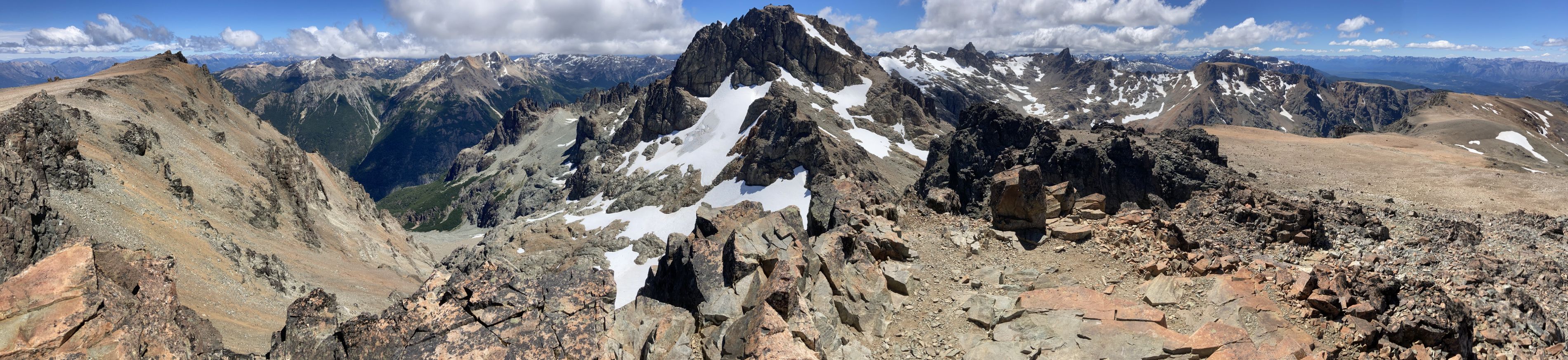
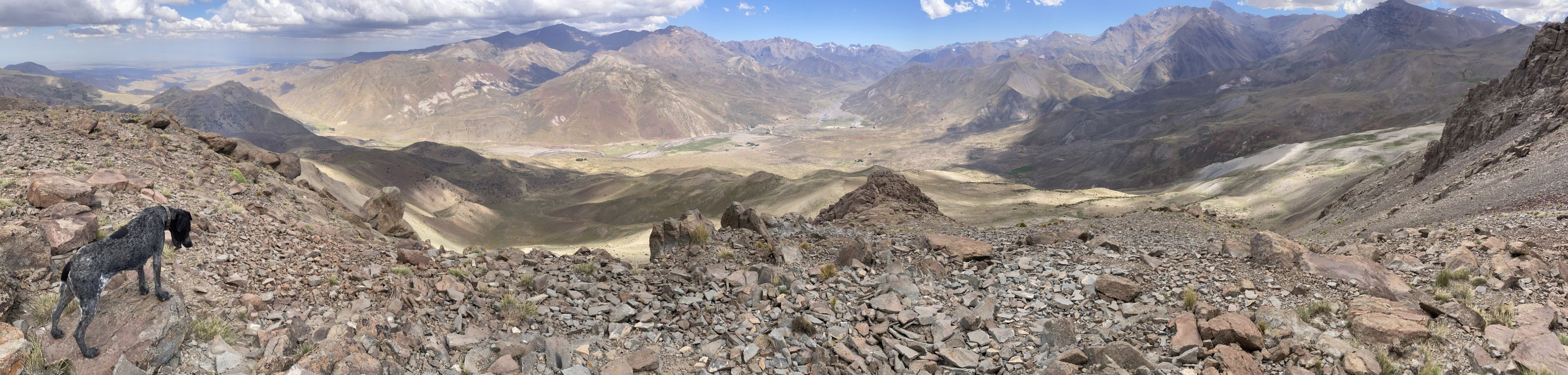
There is a whole range of relatively unknown mountains, many of them very easily accessible—simple ascents,
proximity to mining or border roads... The experience from the summits is unlike anything else...
Below are short clips from a few of my ascents in the Andes—let them speak for themselves:
LOCATION:
MY VIDEOS:
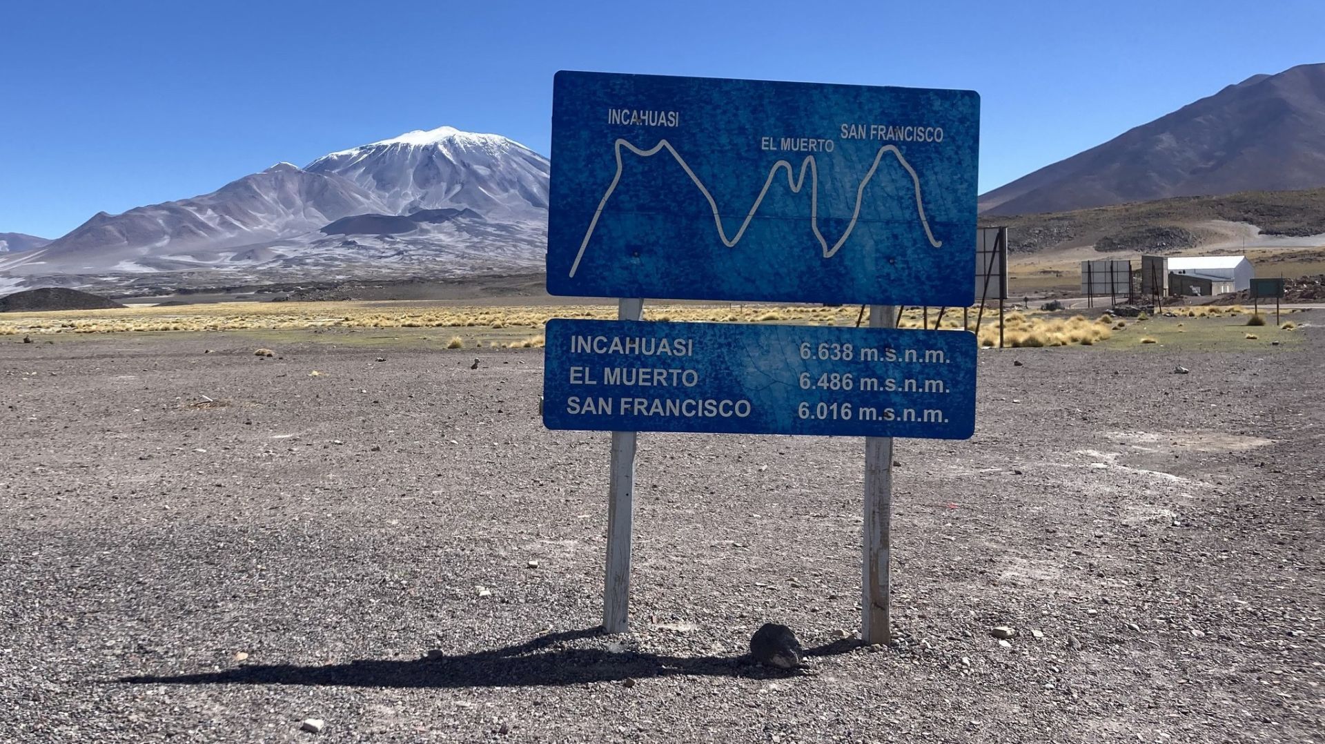
NEVADO SAN FRANCISCO 6016m above sea level
CERRO SALADILLO 5378m above sea level
MY PHOTOS FROM THE SUMMITS:
CONO DE ARITA • Salta
DESCRIPTION:
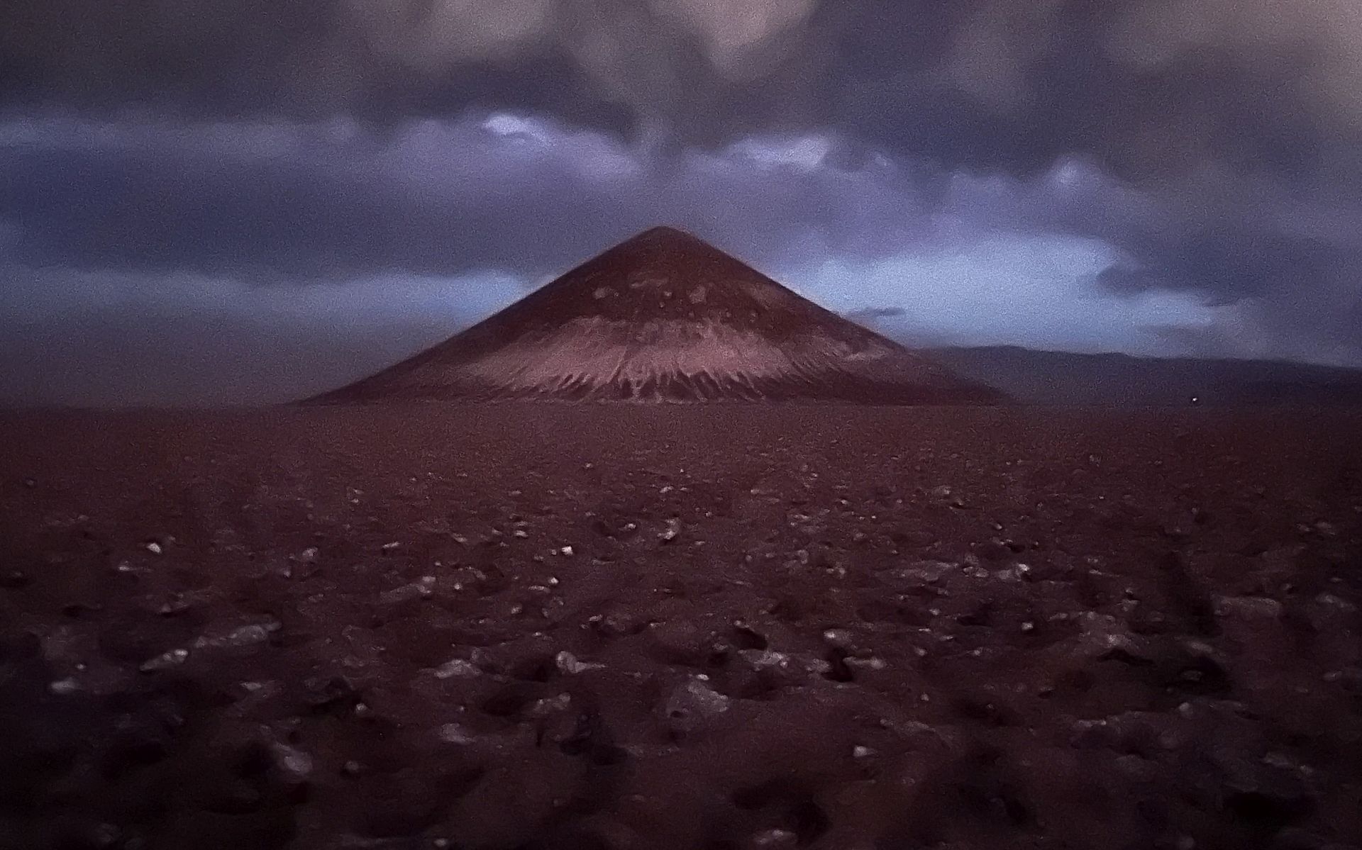
A natural phenomenon, Cono de Arita, is the heart of Serpentinium!
Rising proudly from the very center of the desert, in the middle of the Arizaro salt flat, on the border of my two favorite provinces—Salta and Catamarca—
it stands as a symbol of desert magic, Argentina’s counterpart to the Egyptian pyramids...
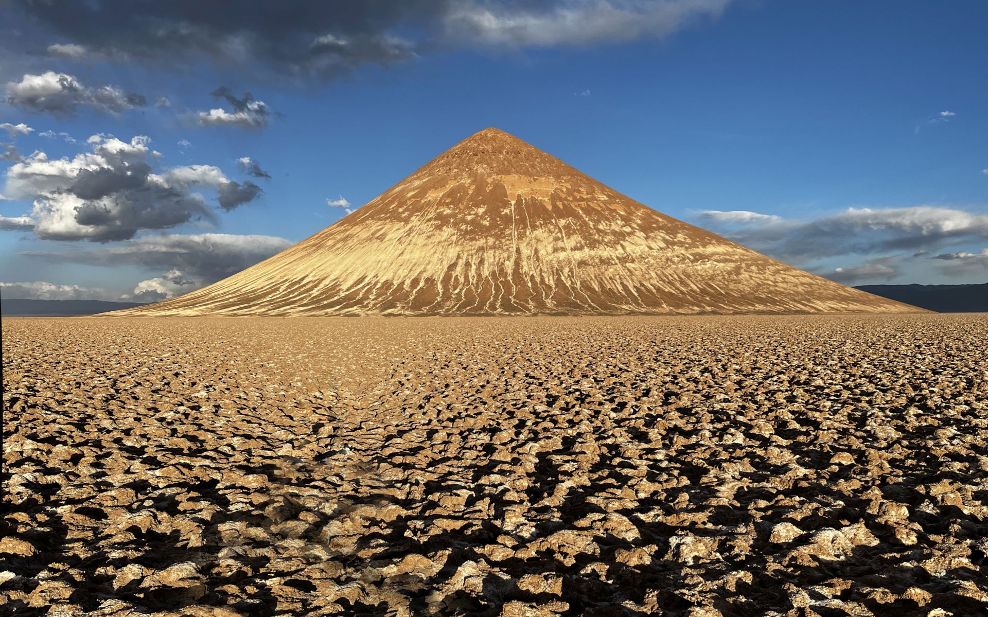
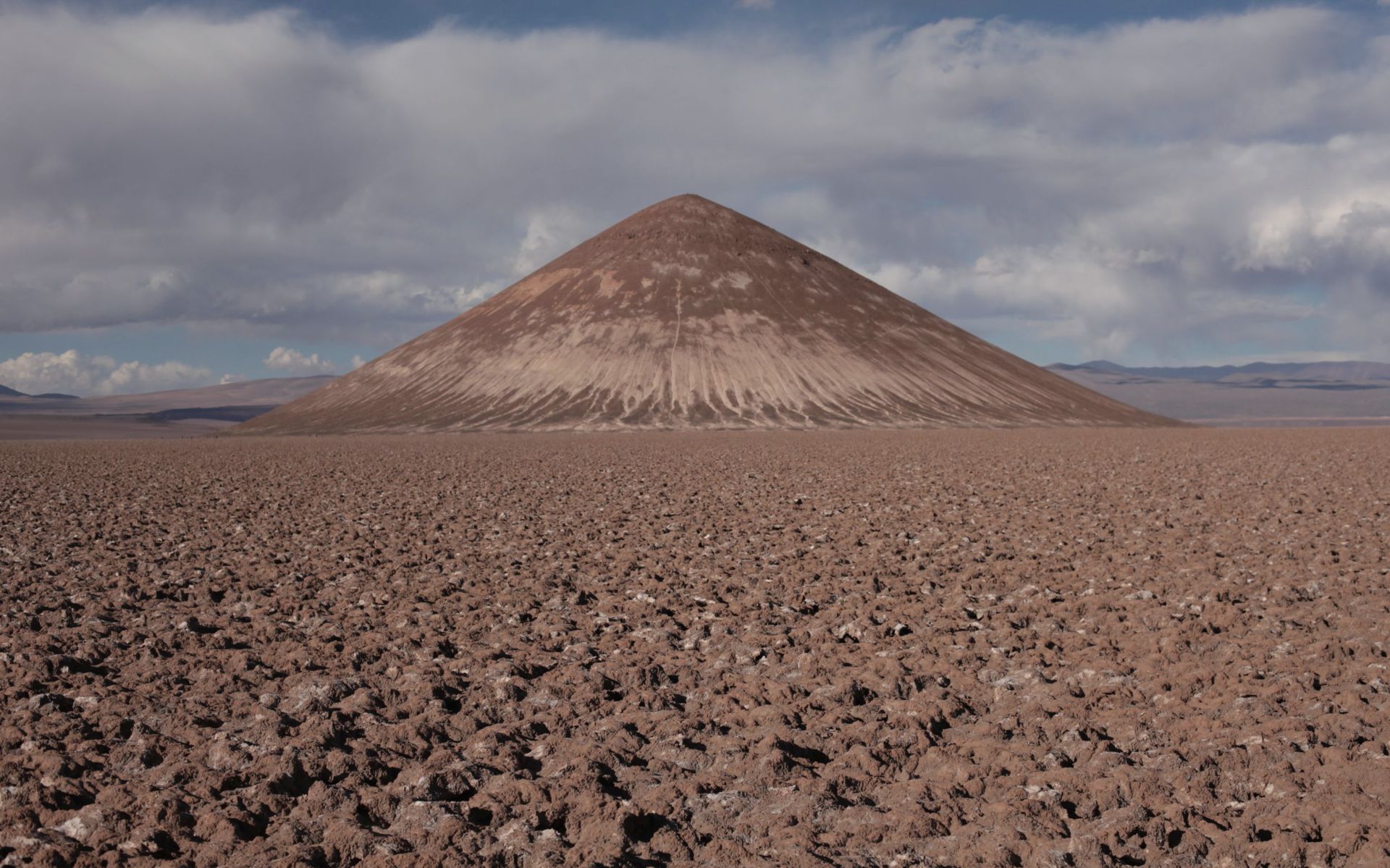
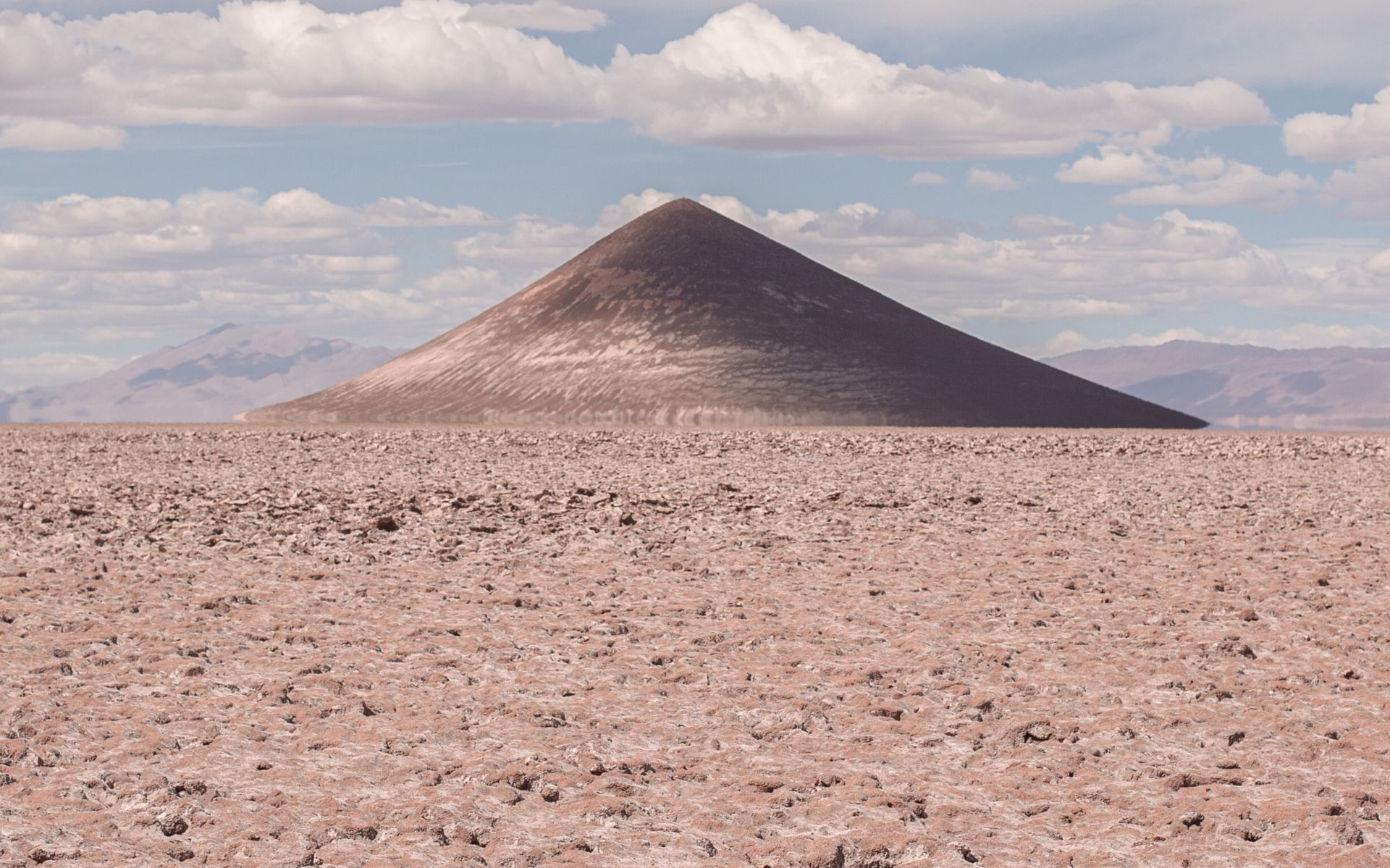
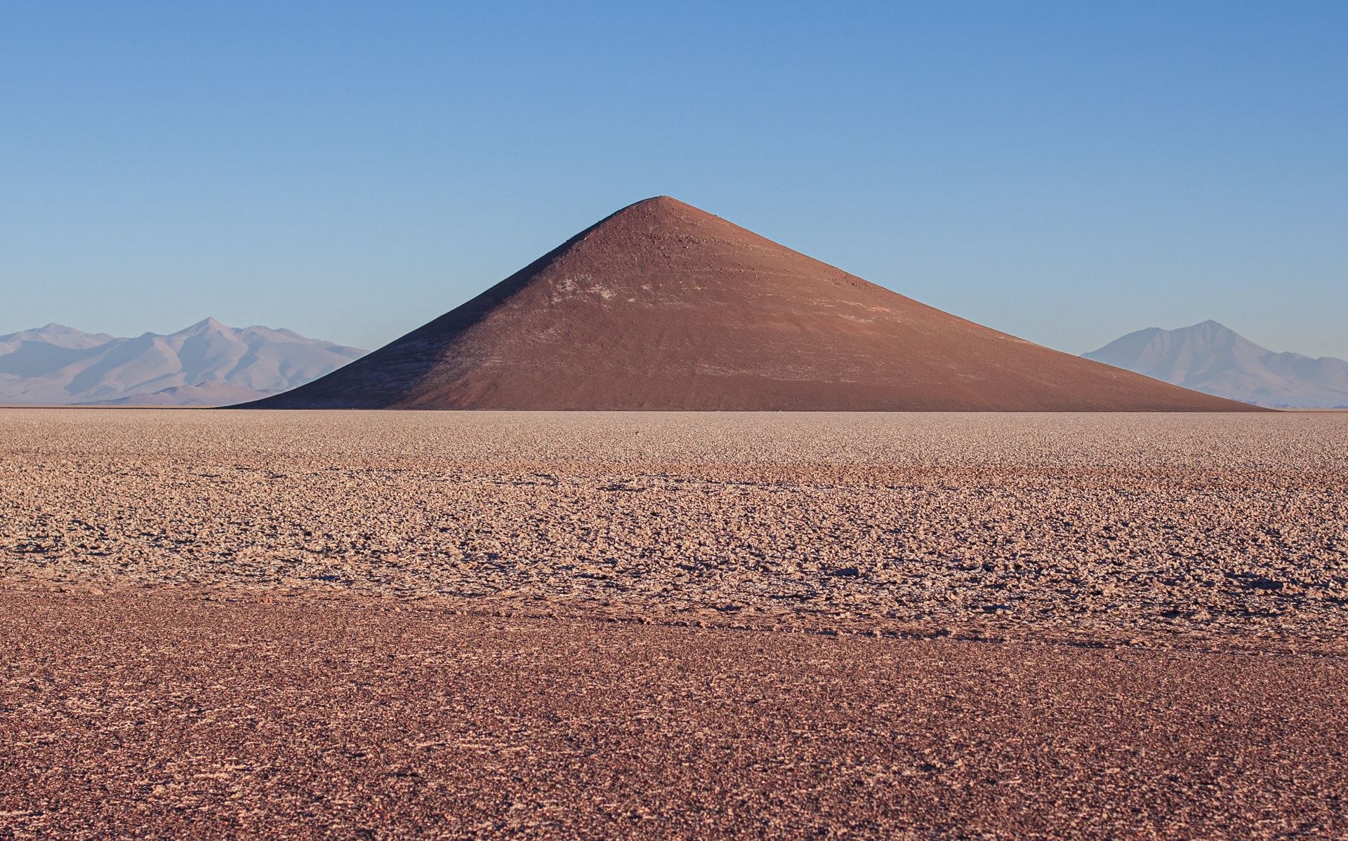
CONO DE ARITA is a large, almost perfectly conical geological formation, rising about 200 meters above the level of the salt flat.
This natural cone is considered one of the most perfect in the world. Its summit reaches 3,689 m above sea level and
looks like an island—almost like a sailboat ;)—in the middle of a salt desert.
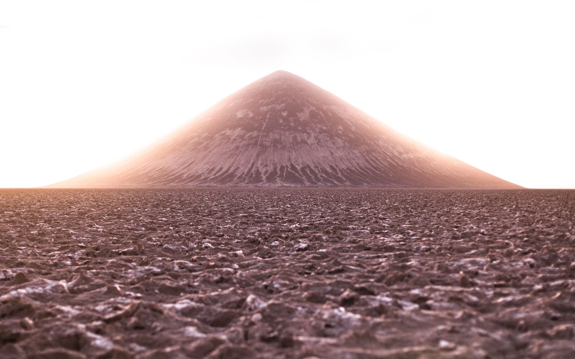
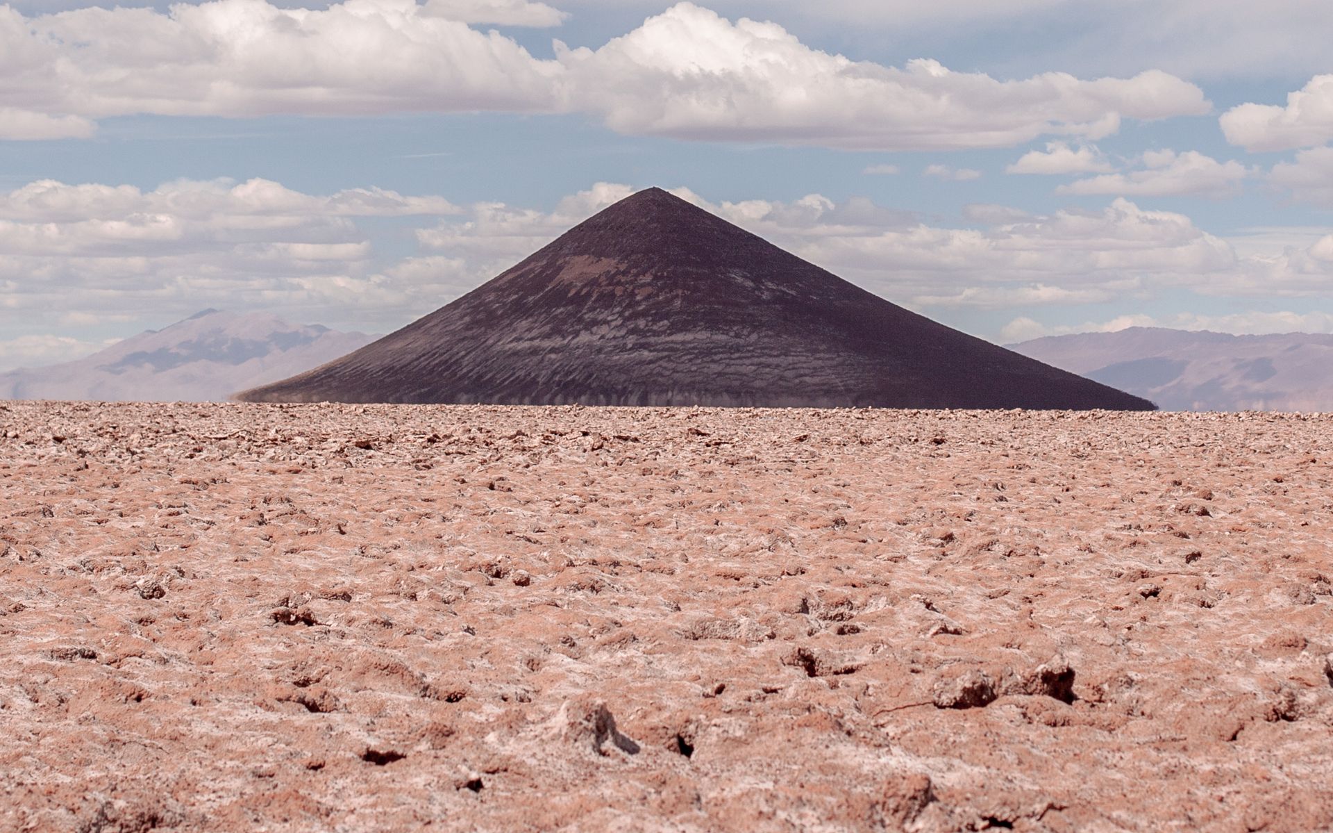
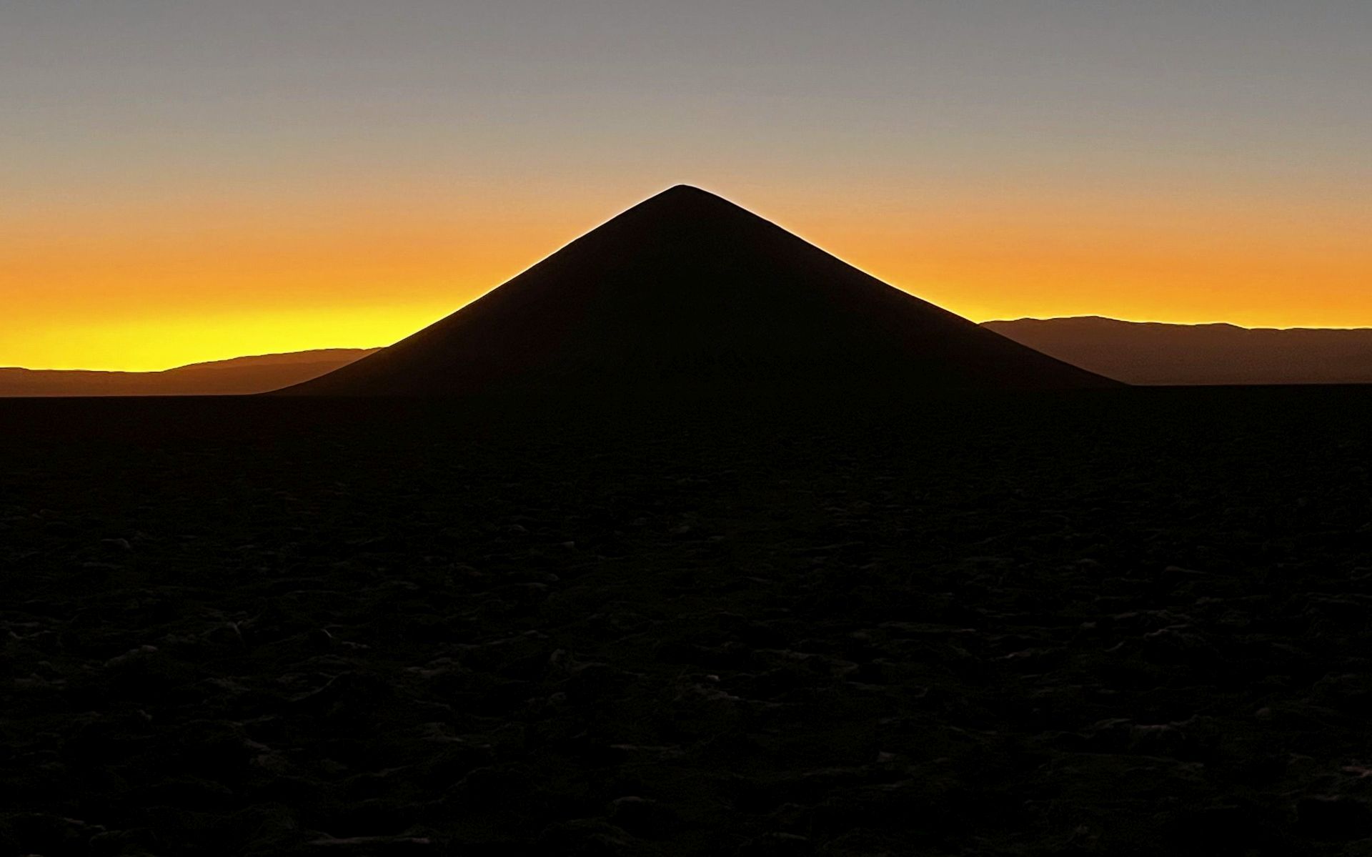
The uniqueness of this rock formation is amplified by its ability to change appearance depending on the light conditions.
It can transform from a pale grey morning cap into a completely black, almost cosmic artifact, only to become a golden pyramid at sunset,
drawing in (like a light in a tunnel) miners returning from nearby mines.
There are still many unanswered questions about its origin.
It is believed to have possibly been an Inca ceremonial center—and as for its “magical” transformations… take a look at the photos yourself.
LOCATION:
DIFFERENT FACES OF CONO DE ARITA:
As you can see in the photos below, not only women—but also certain objects, and this one in particular ;)—like to surprise with changes in their appearance,
often turning out not to be exactly what they first seemed... (click on a thumbnail to enlarge)
VALLES CALCHAQUIES • Provinces: Catamarca, Salta
DESCRIPTION:
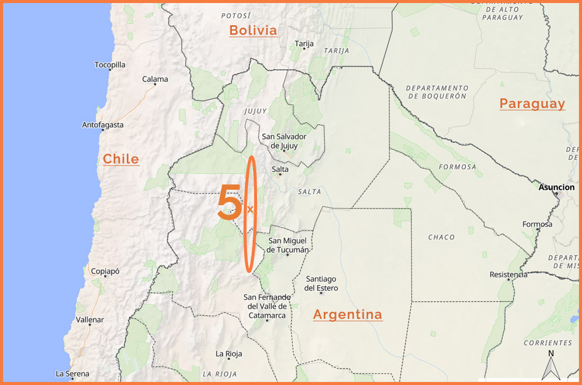
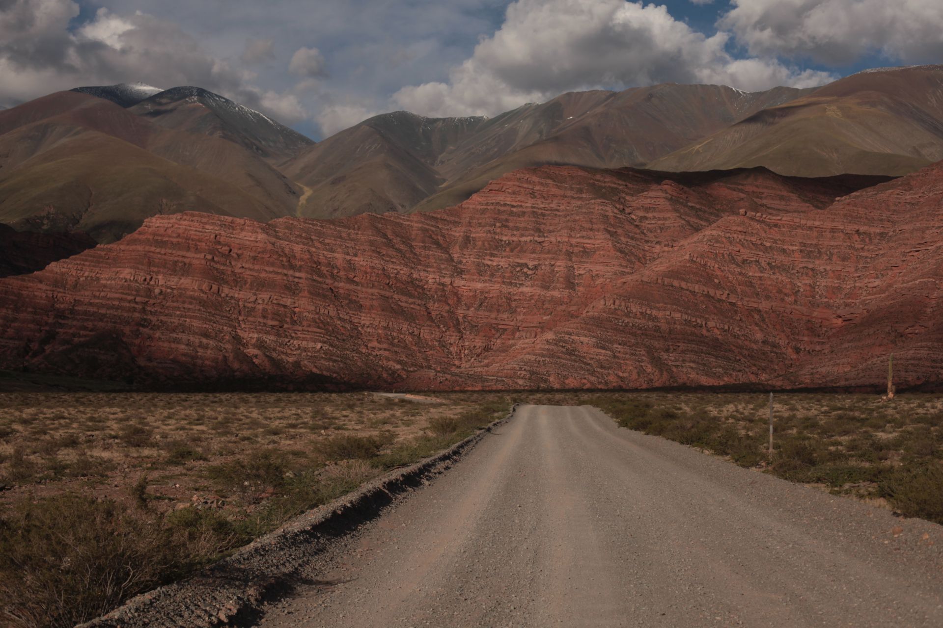
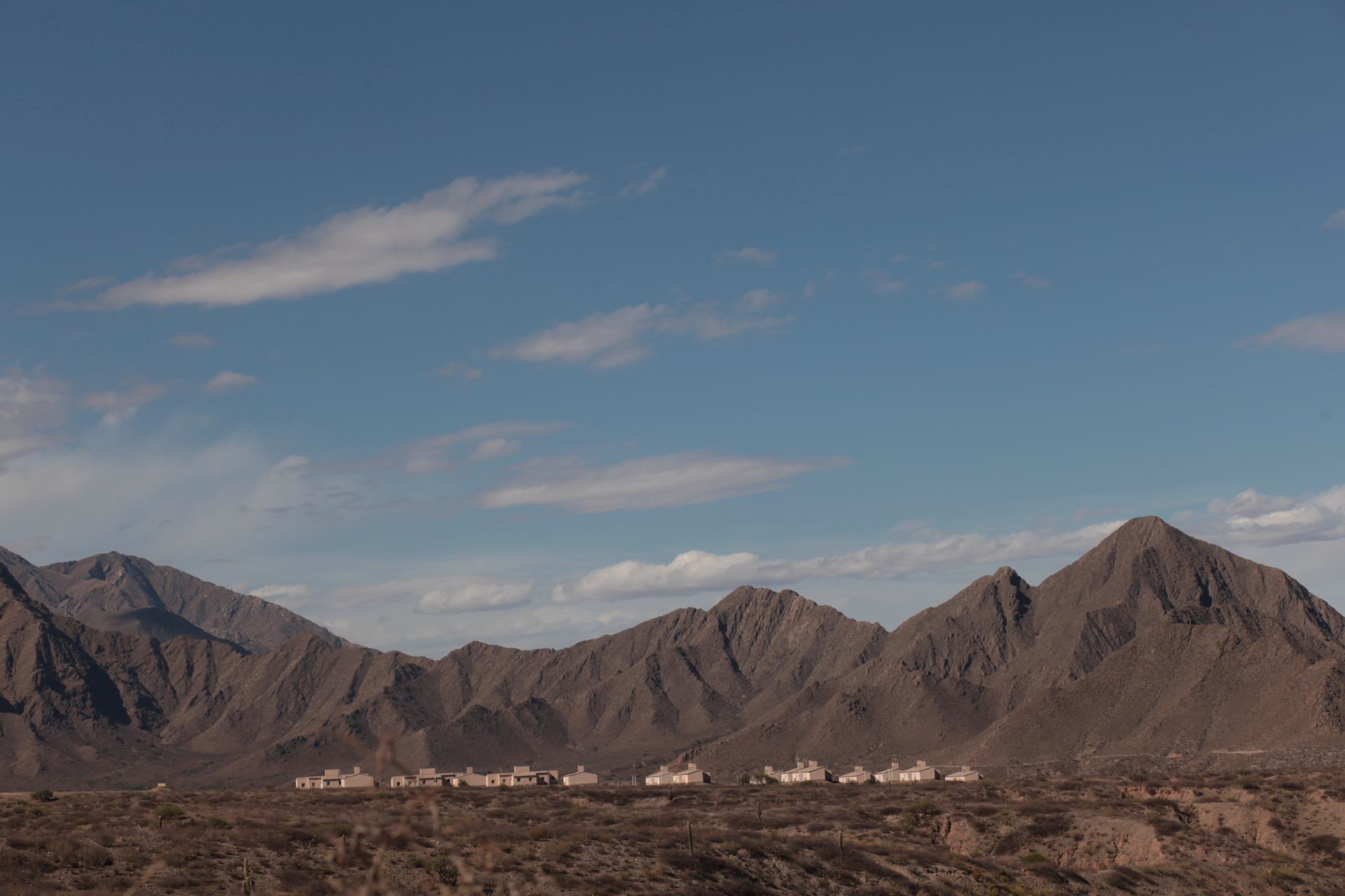
One of my favorite places in Argentina, with exceptional not only natural but also cultural value, is the north–south oriented valley region of the Calchaquí River, located east of the Andean peaks and west of the line connecting the cities of Salta and Tucumán.
Valles Calchaquíes are separated from the Puna de Atacama by the highest road pass in the Americas—Abra del Acay (4,895 m), which defines the northern boundary of the region.
Below, I’ve included a video of the pass crossing to give your imagination a proper sense of what these landscapes are like...
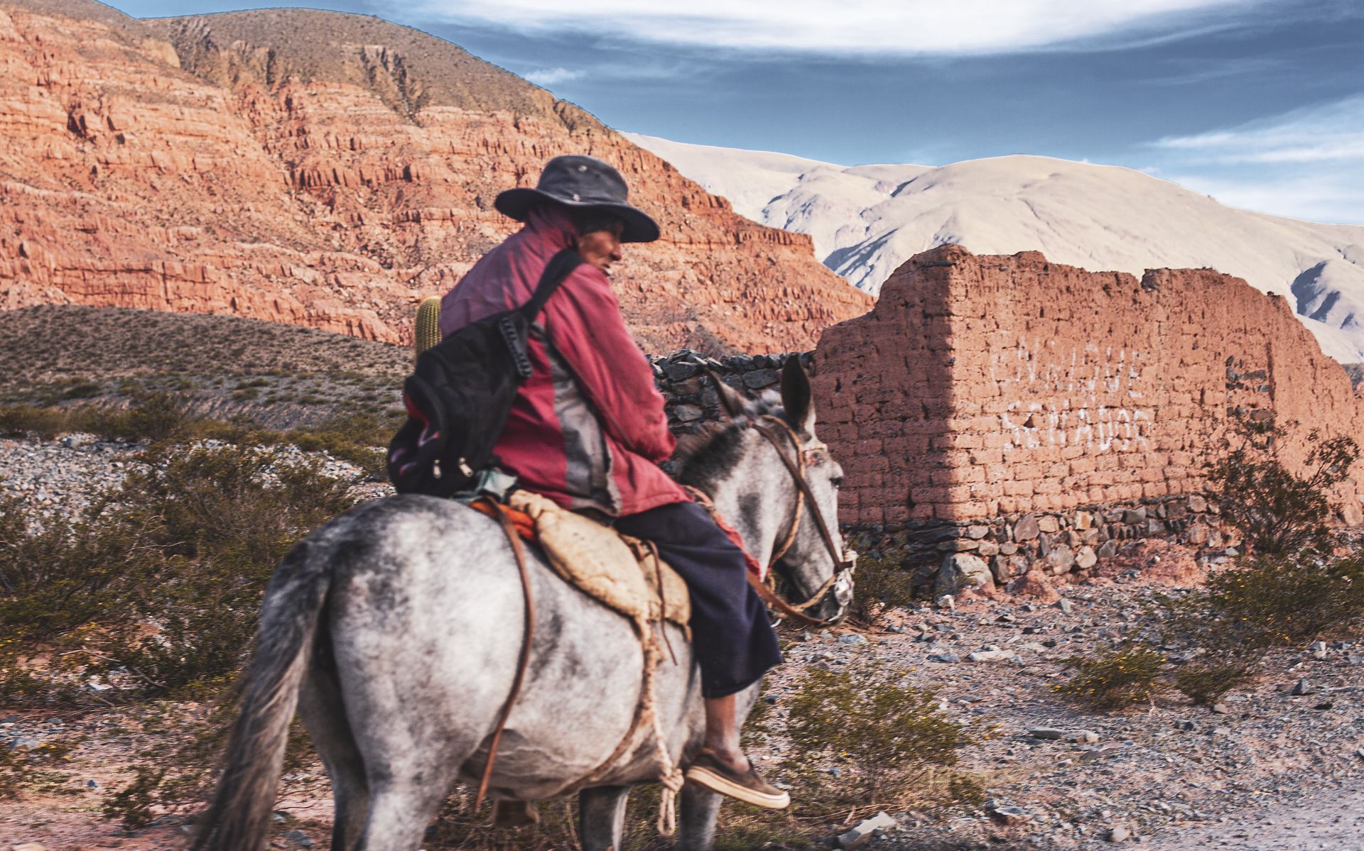
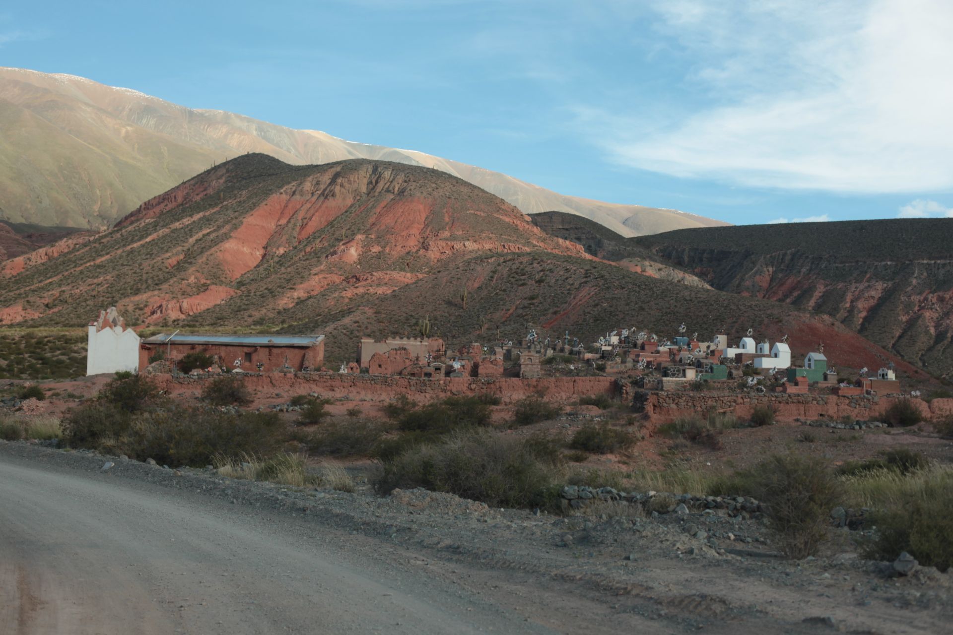
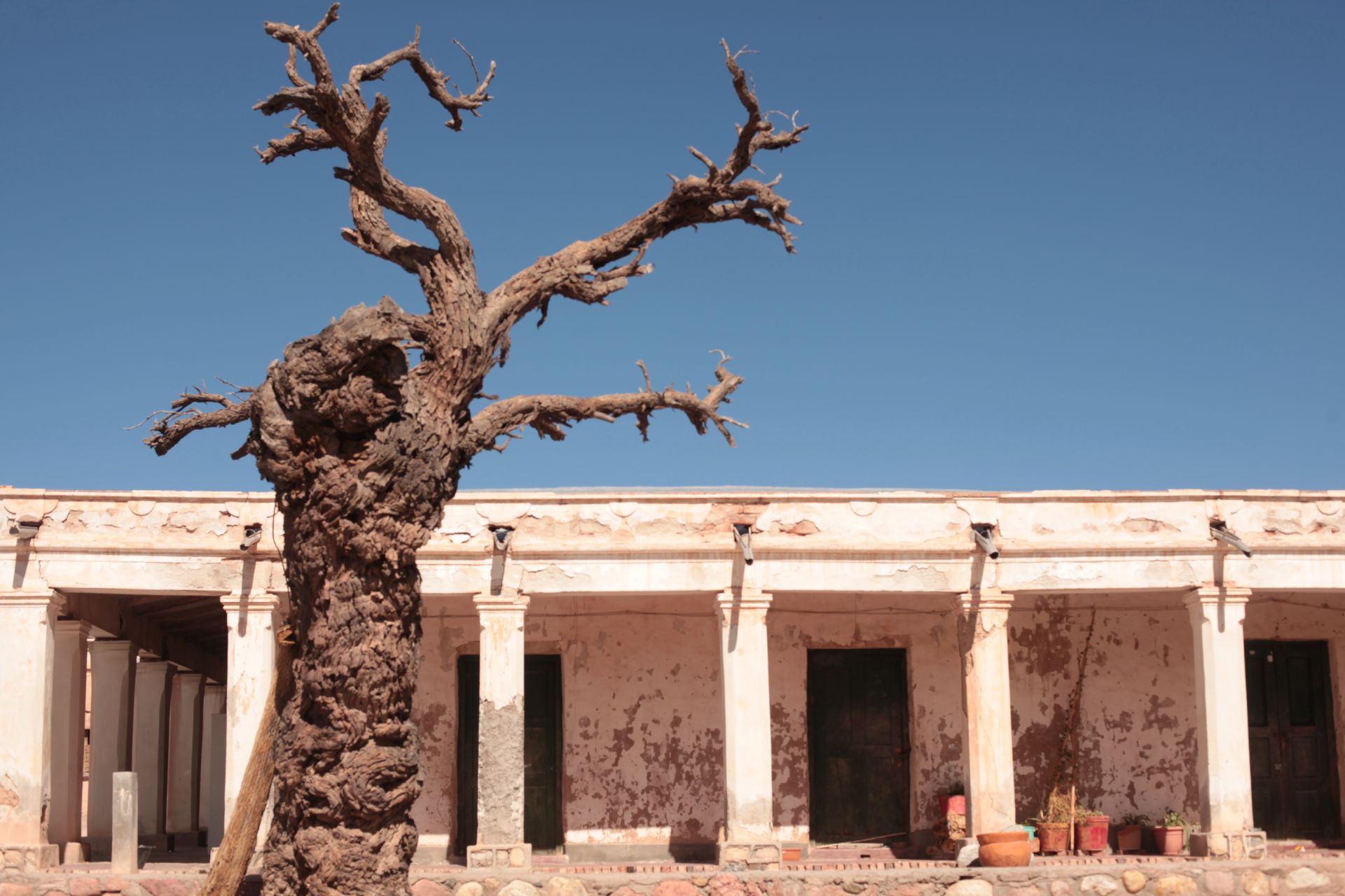
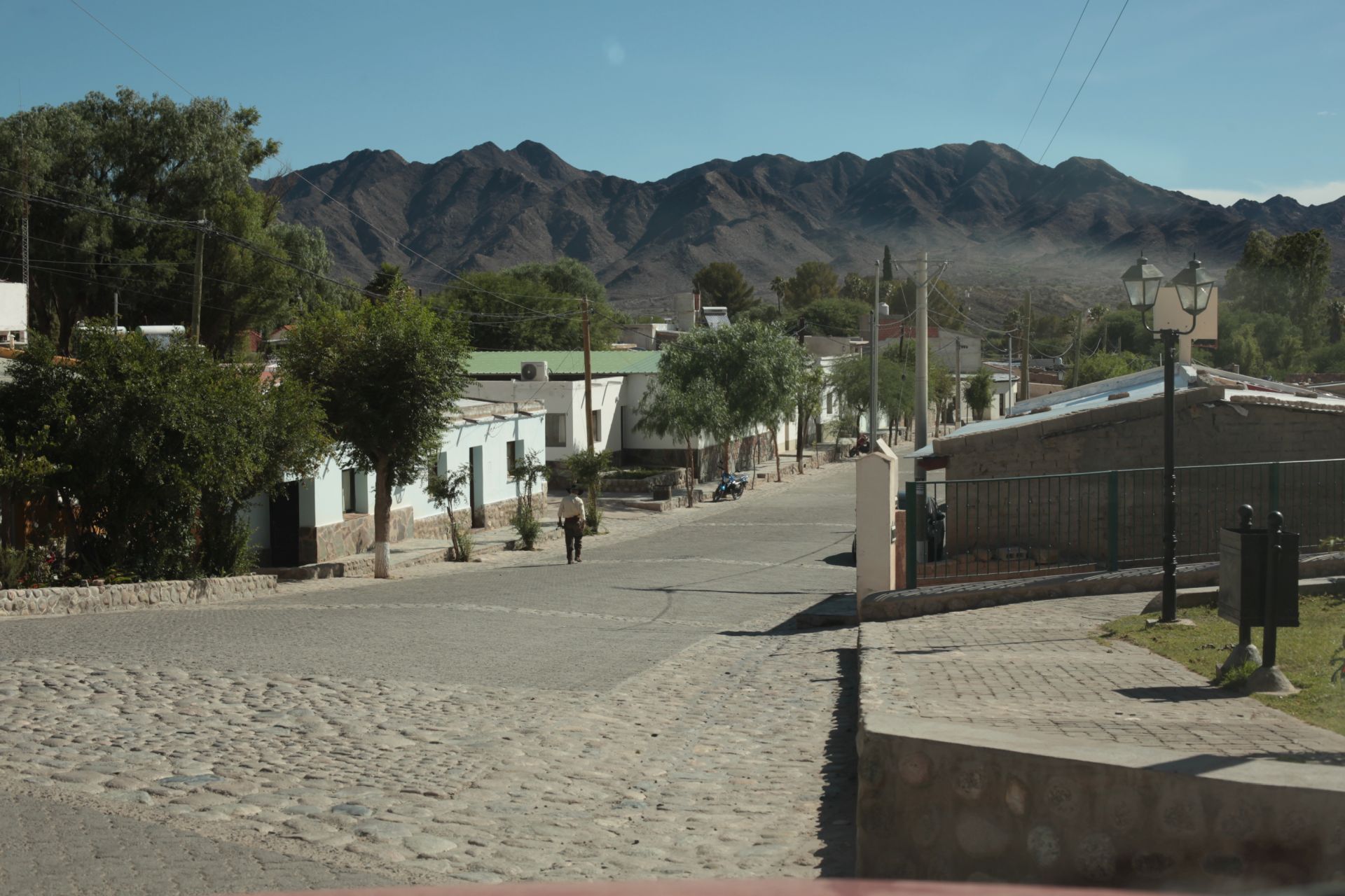
The Valles Calchaquíes consist of remarkable mountain villages in one of the most remote and anthropologically fascinating regions of Argentina,
where resistance against the Spanish conquistadors lasted the longest.
To this day, it remains a center of activity for the native peoples of the north—surely still watched over by pre-Columbian ancestral spirits,
softening the destructive influence of a rapidly “Europeanizing” Buenos Aires...
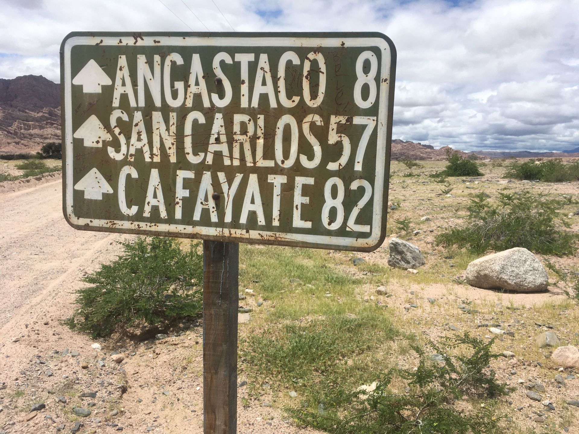
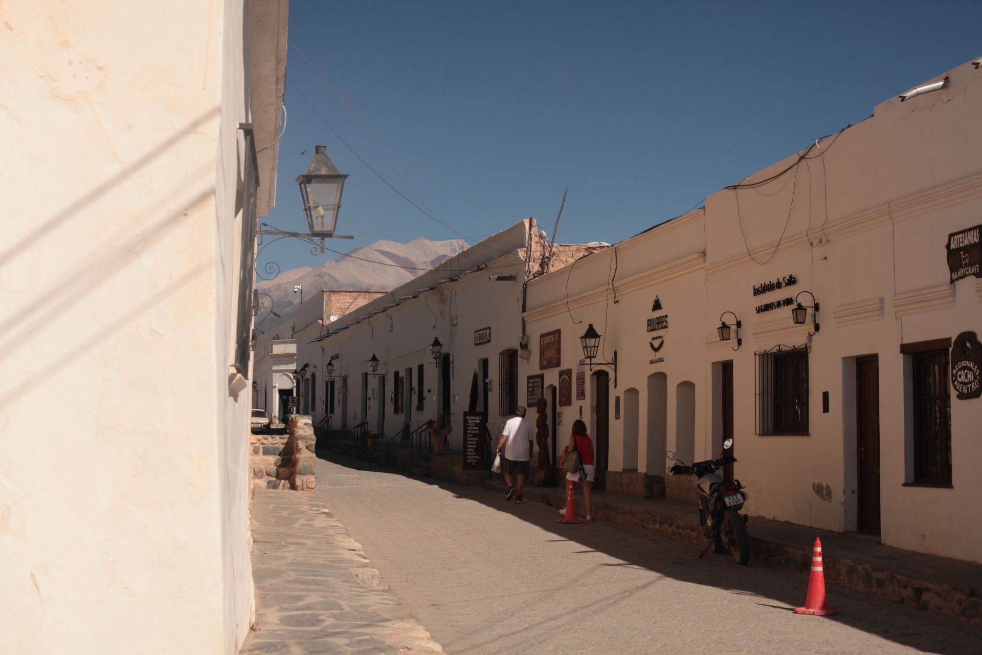
Nearly 500 km of history preserved in villages and small towns that remember distant times (from north to south) — La Poma, Cachi, Payogasta, Molinos, Angastaco, San Carlos, Cafayate, Quilmes, Amaicha del Valle, Santa María...
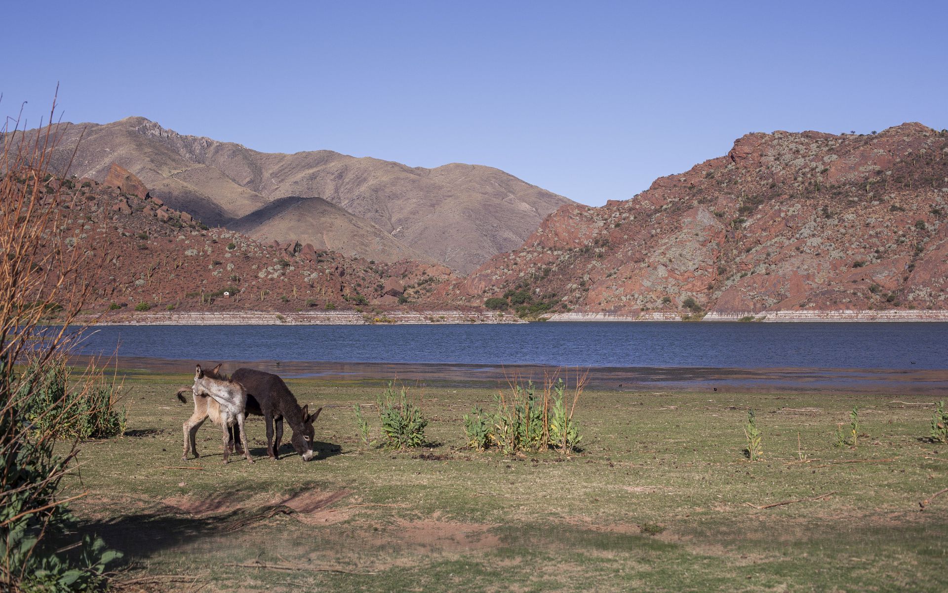
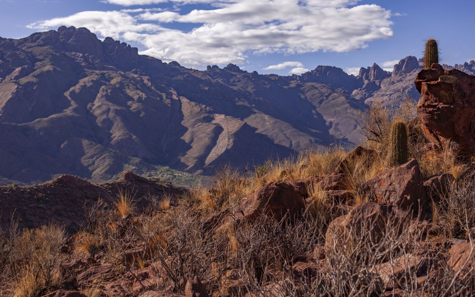
Sun, nature, wine, folk, culture, gauchos, indigenous roots, history, and mountains.
LOCATION:
MY VIDEOS:
RUTA PROVINCIAL 56, SALTA
(Seclantas, Molinos, Laguna de Brealito region)
ABRA DEL ACAY 4895m
(pass separating Valles Calchaquíes from the Puna de Atacama)
VILLAGES:
La Poma, Cachi, Payogasta, Seclantas, Molinos, San Carlos, Animaná, Cafayate, Quilmes, Santa María
ROADS:
RN40 + access roads
VALLES CALCHAQUIES GALLERY:
MAPS FOR DOWNLOAD (pdf):
VALLES_CALCHAQUES_MAPA (turismo salta)
CONTACT
QUEBRADA HUMAHUACA • Province of Jujuy, Argentina
DESCRIPTION:
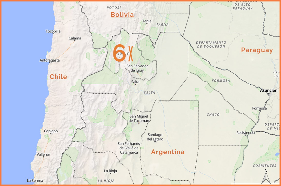
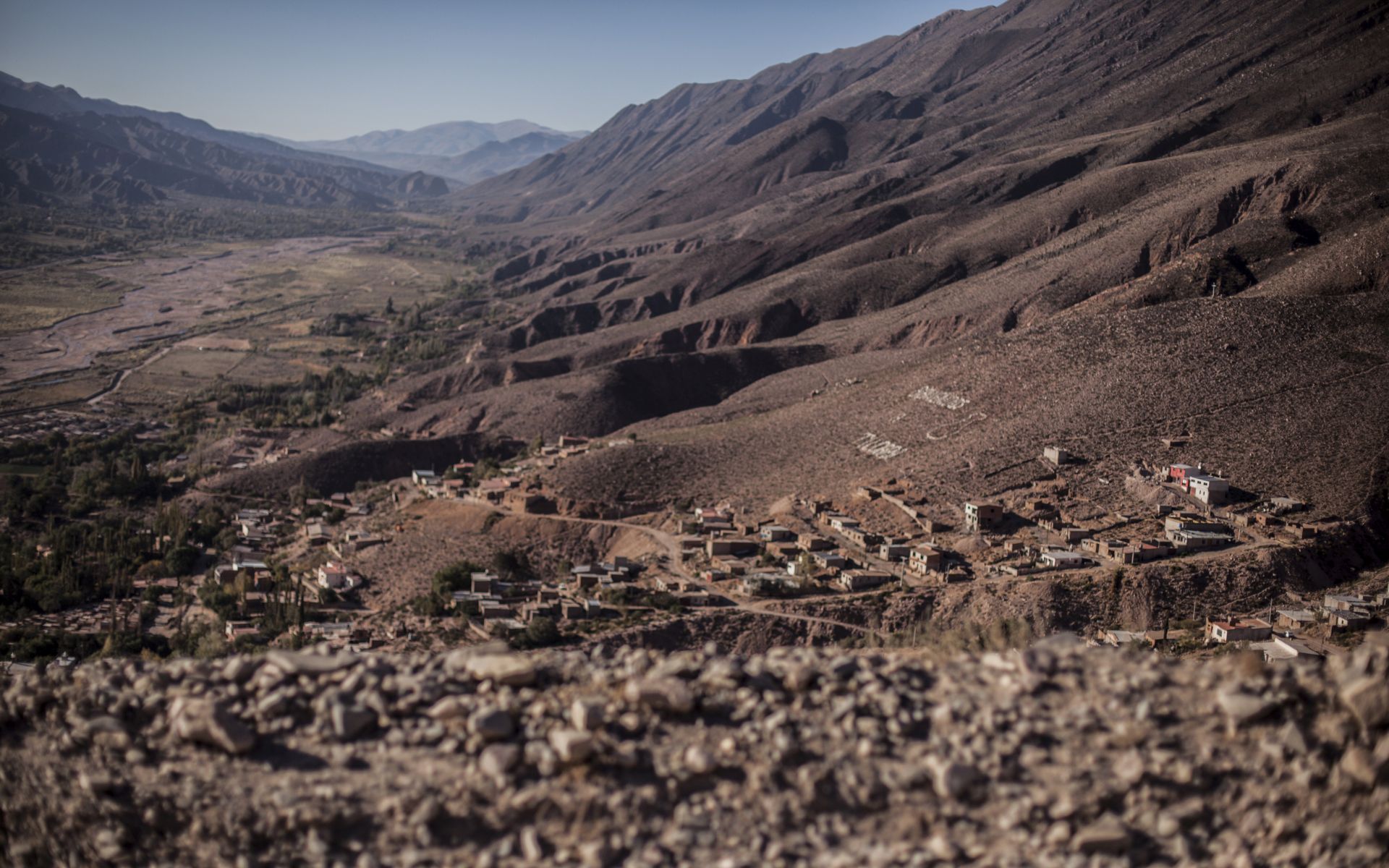
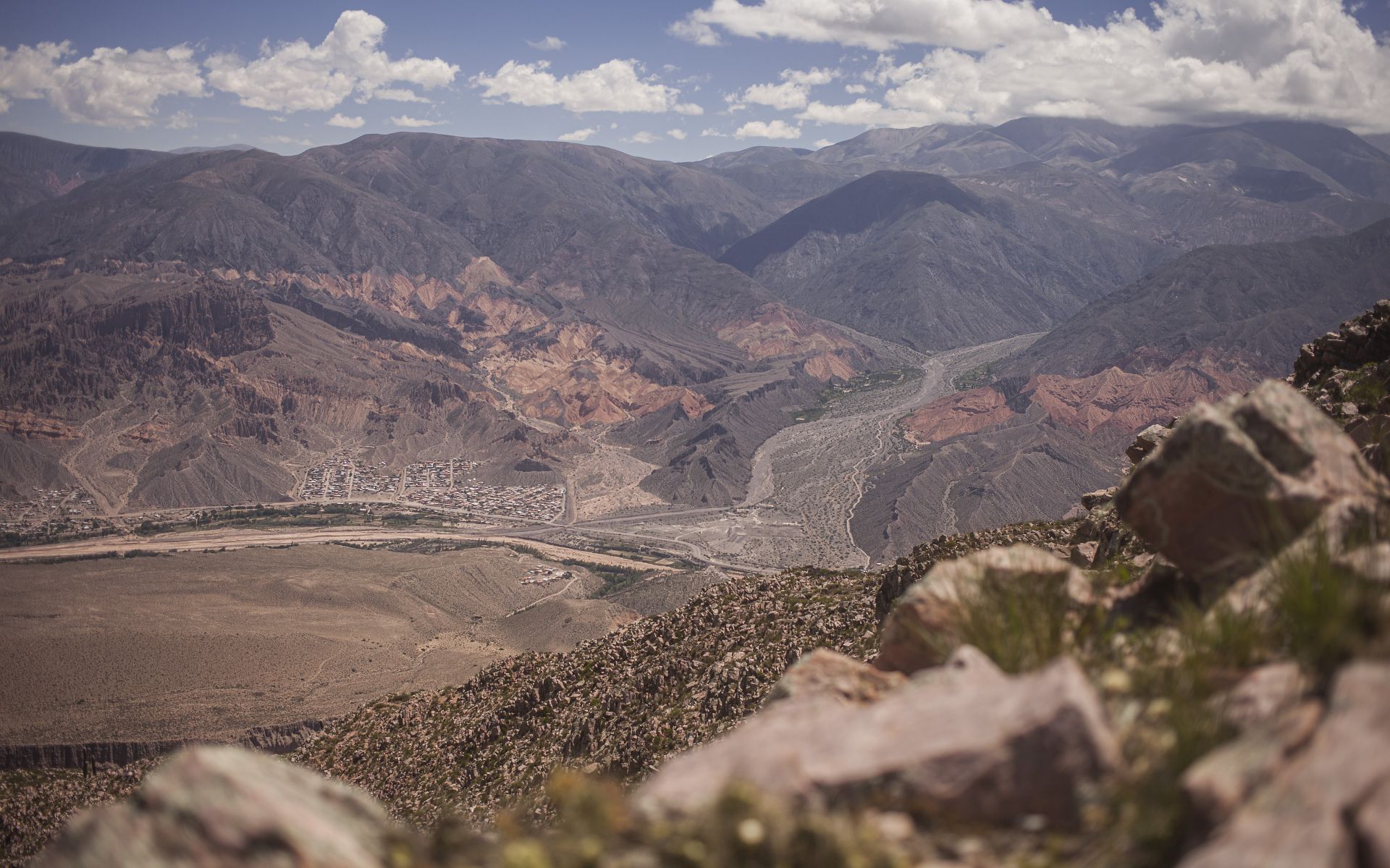
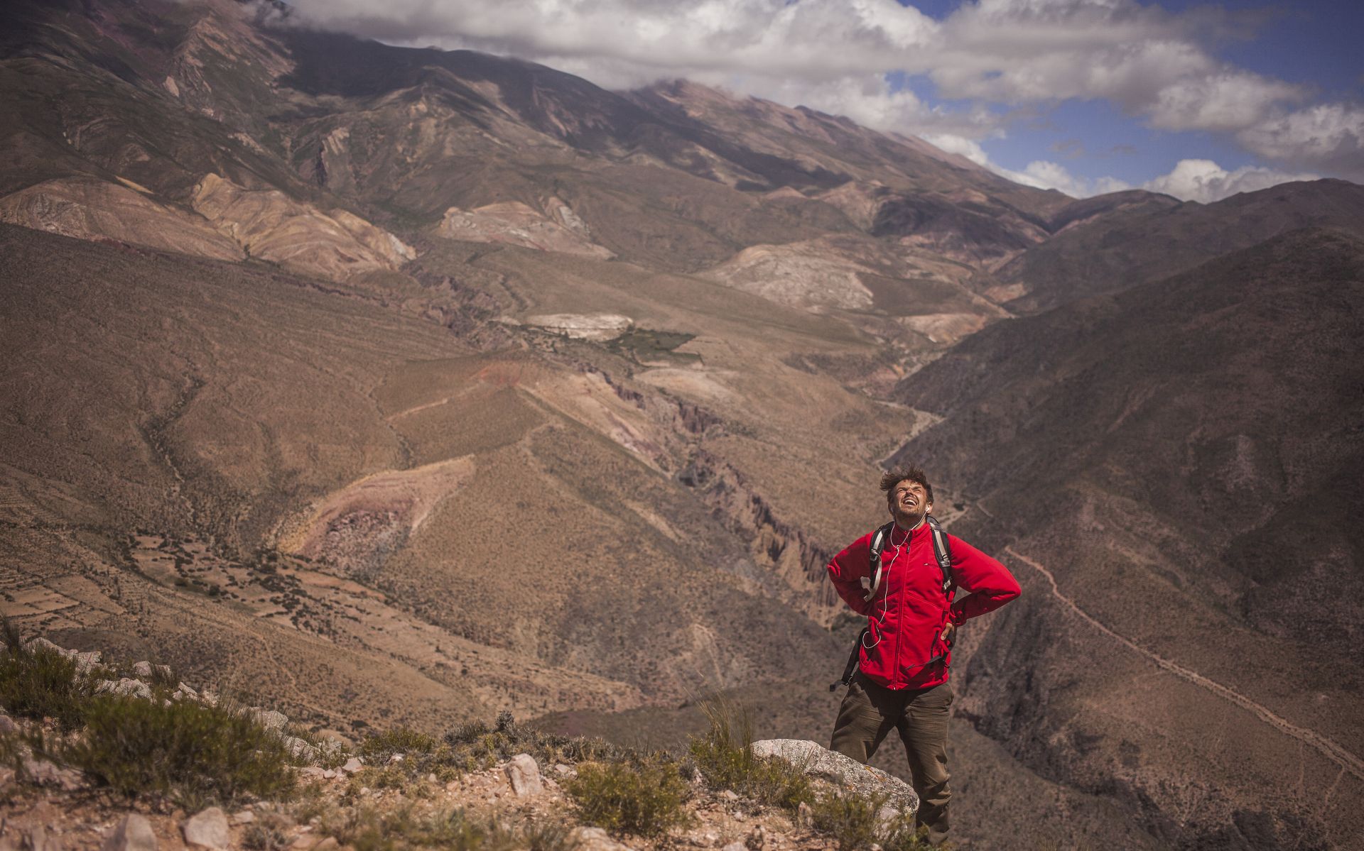
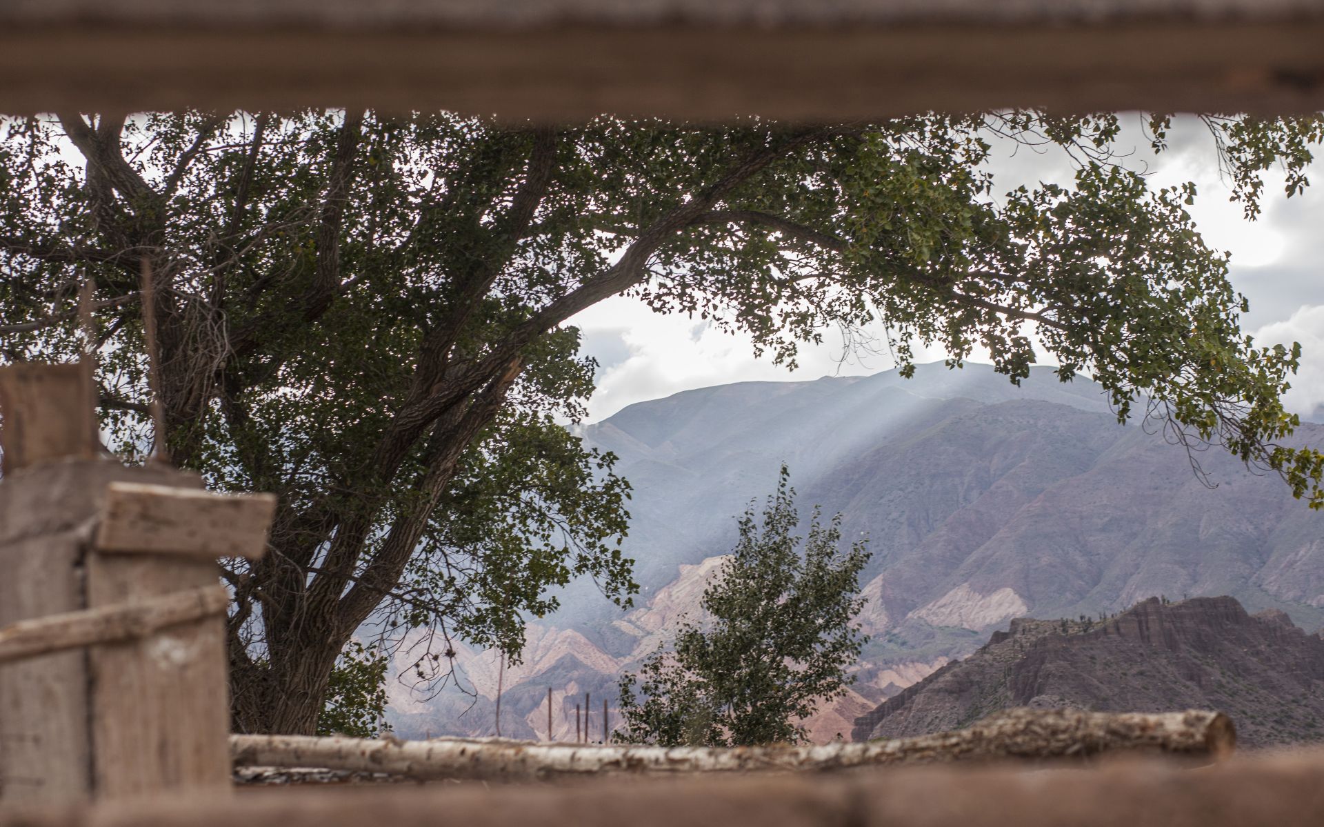
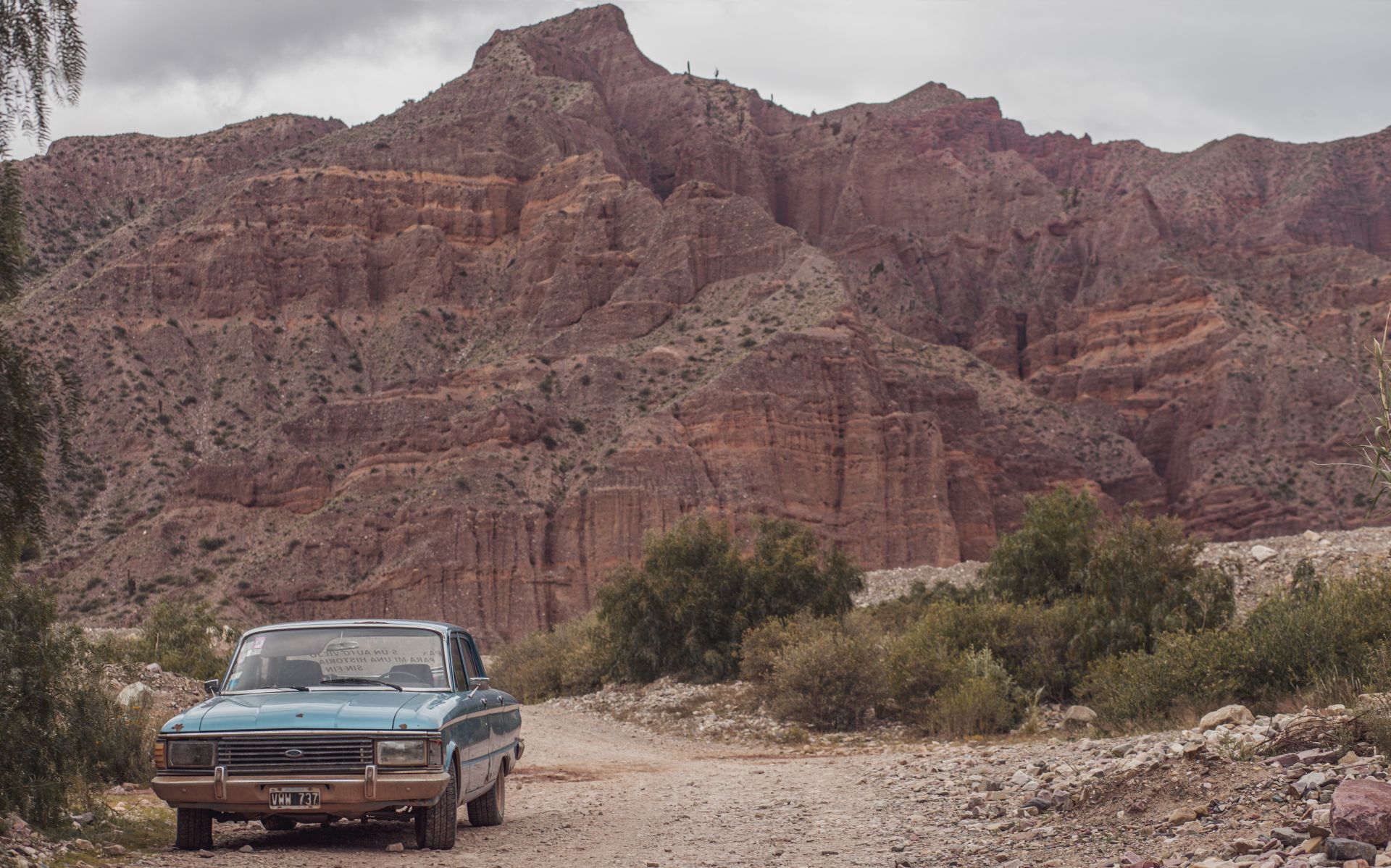
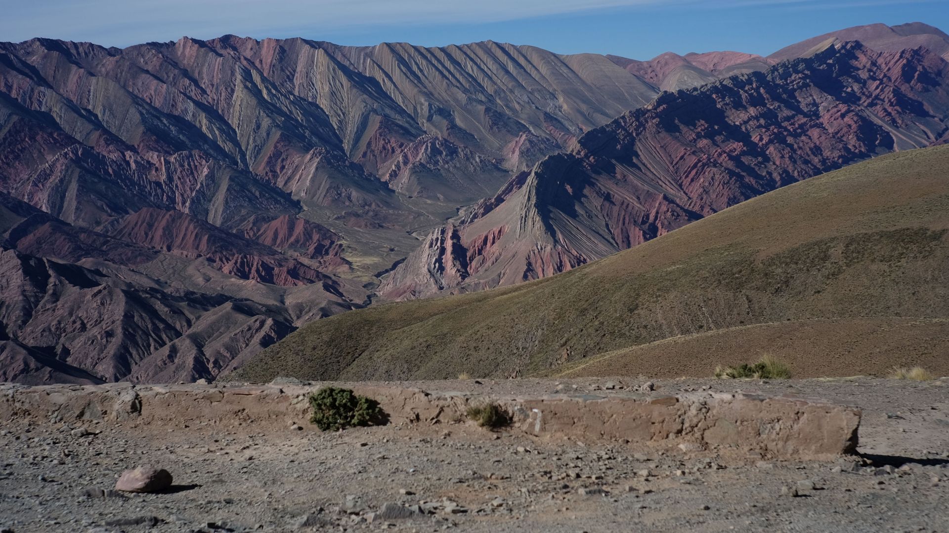
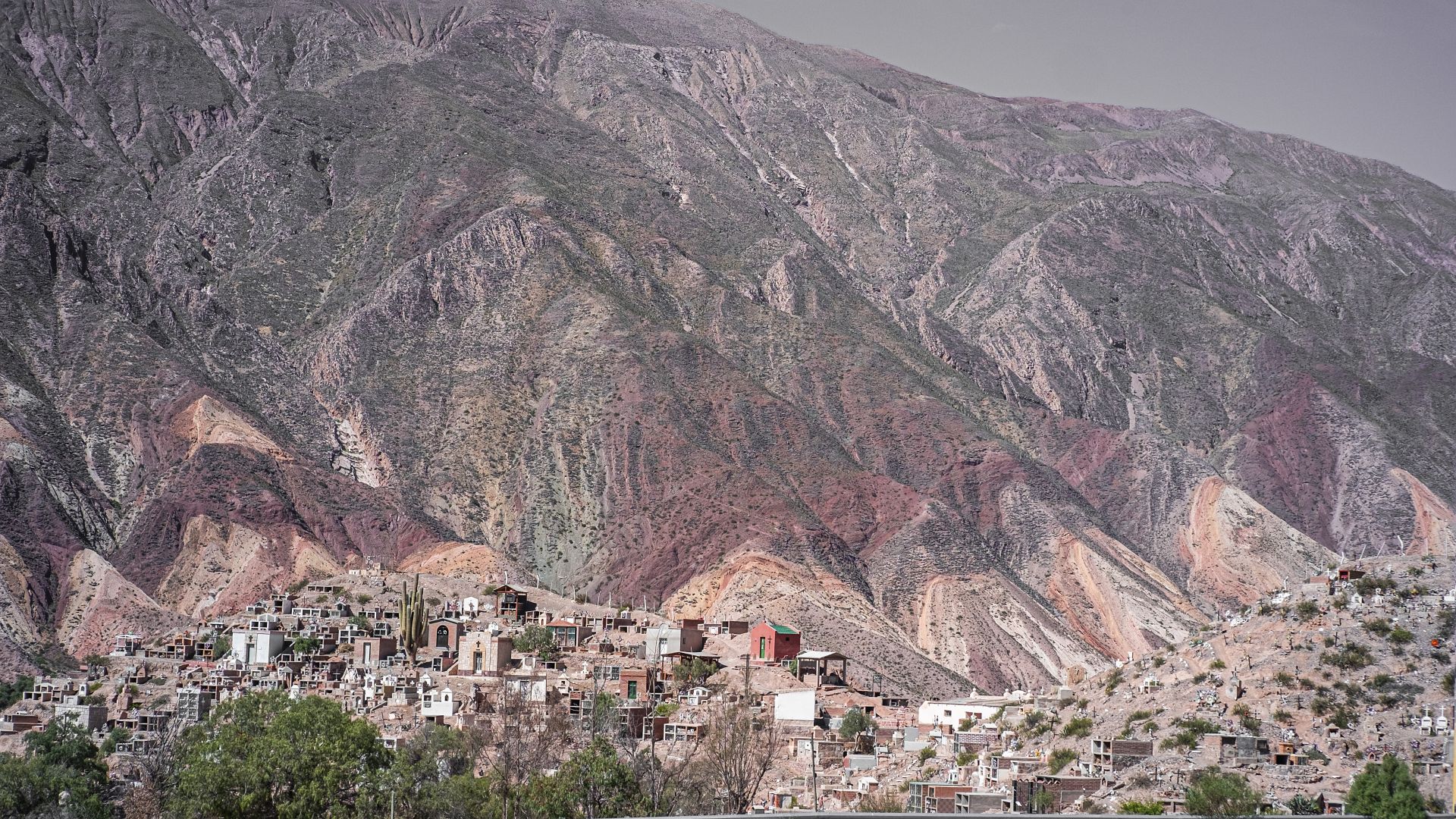
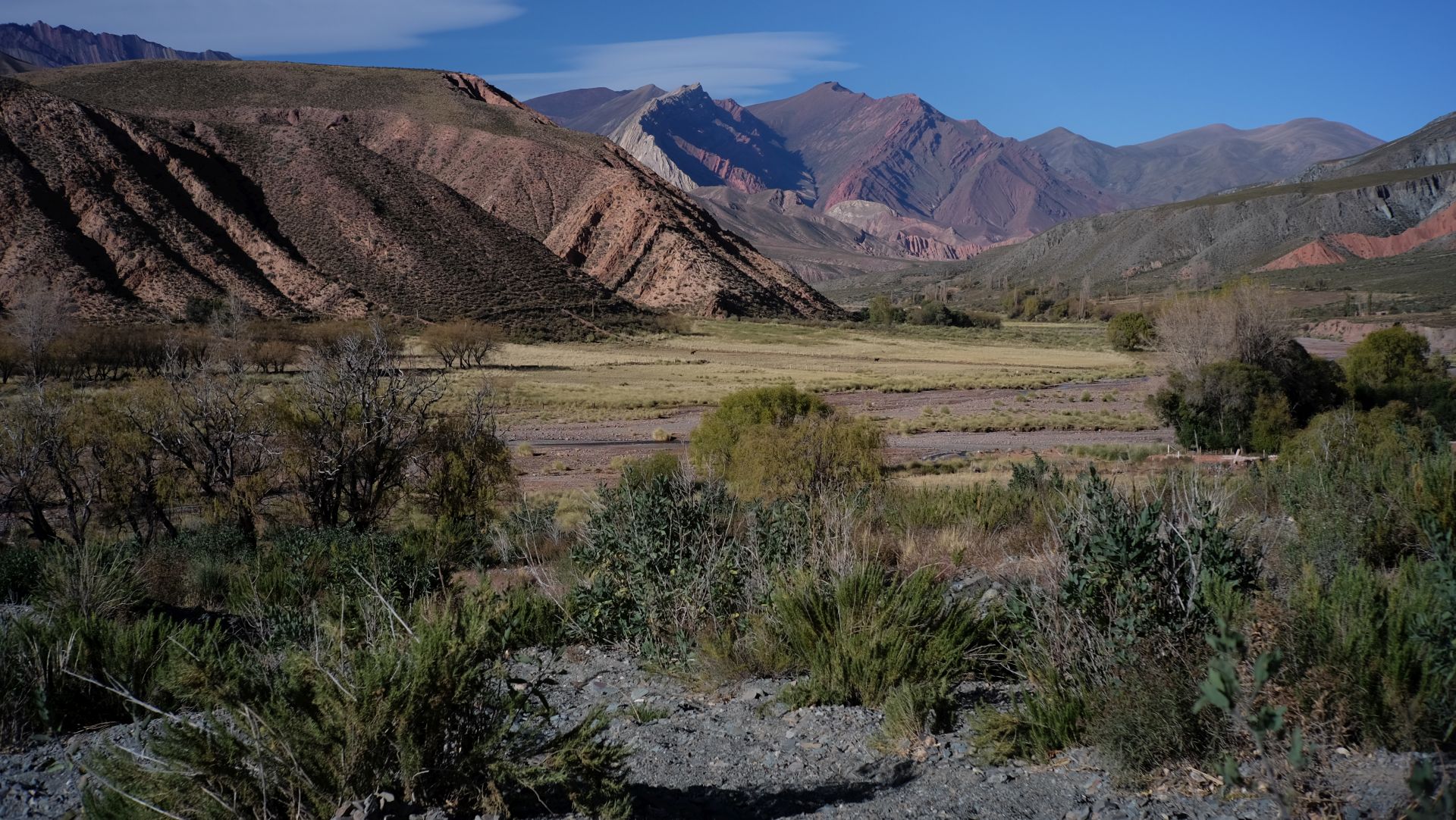
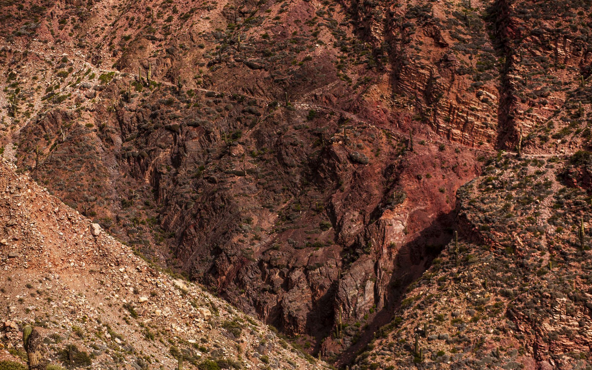
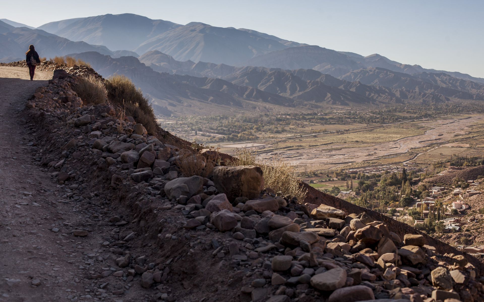
Declared a UNESCO World Heritage Site in 2003, Quebrada de Humahuaca is a 150 km-long dry valley stretching south from the headwaters of the Río Grande in the Argentine Andes, featuring unique landscape qualities
(sharp folds and vividly colored rock strata) and a rich cultural heritage.
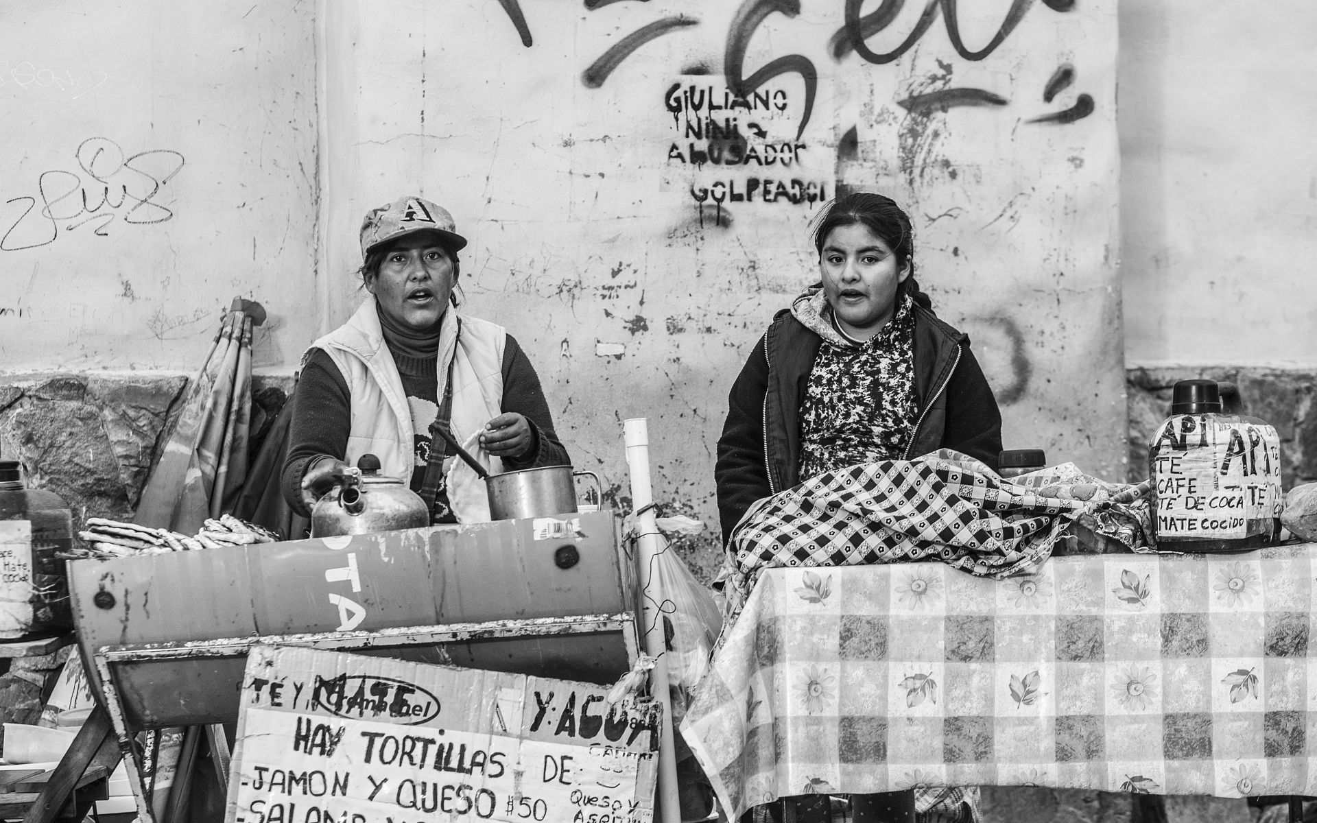
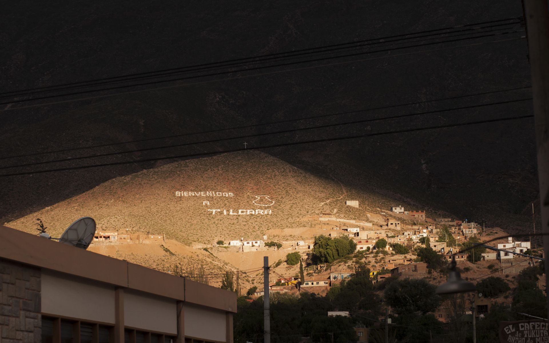
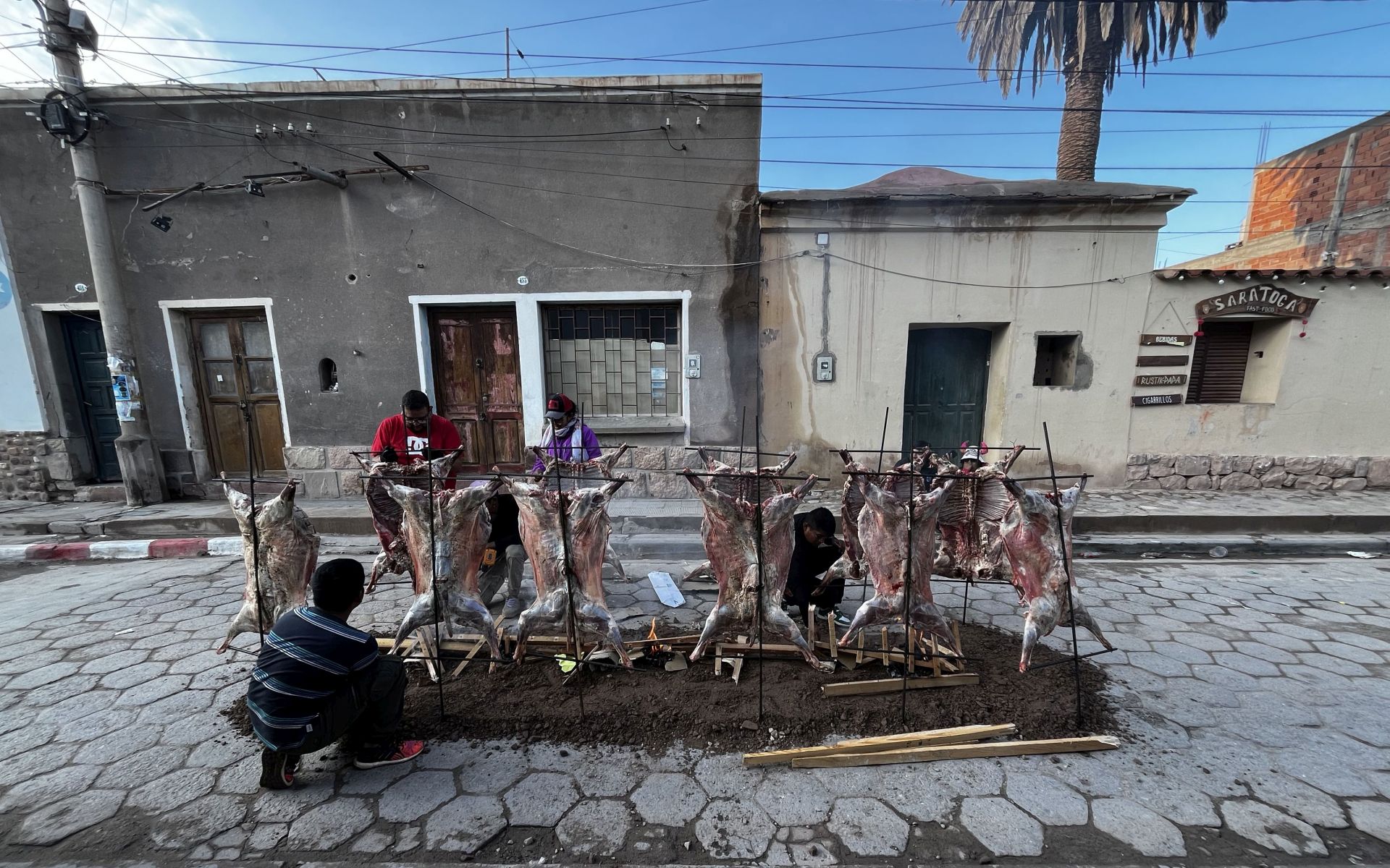
Here lie the famous villages of Jujuy, known for their ecstatic Carnival celebrations and strong Bolivian influence:
(Purmamarca, Maimará, Tilcara, Uquía, Humahuaca, and Tres Cruces). The area sits at 2000–4000 m above sea level, making it the highest permanently inhabited region in Argentina.
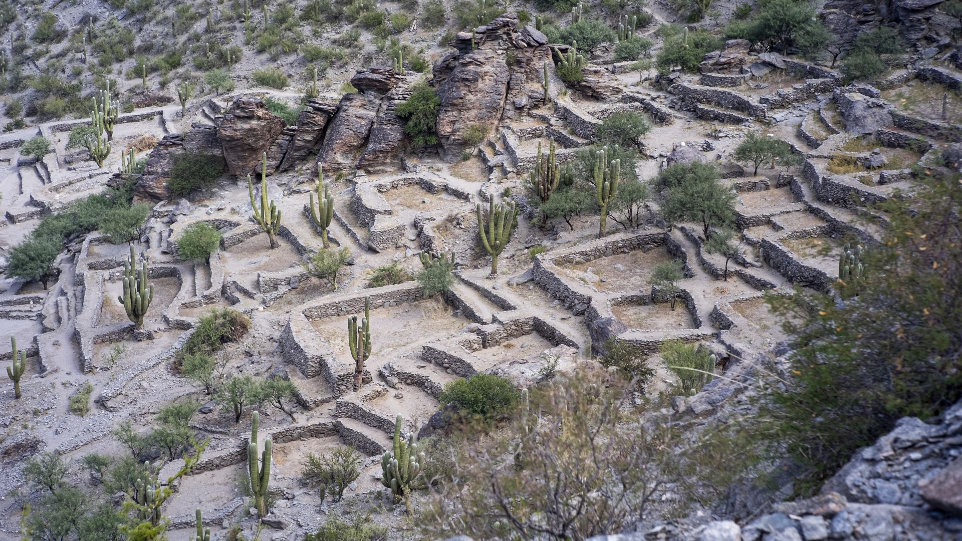
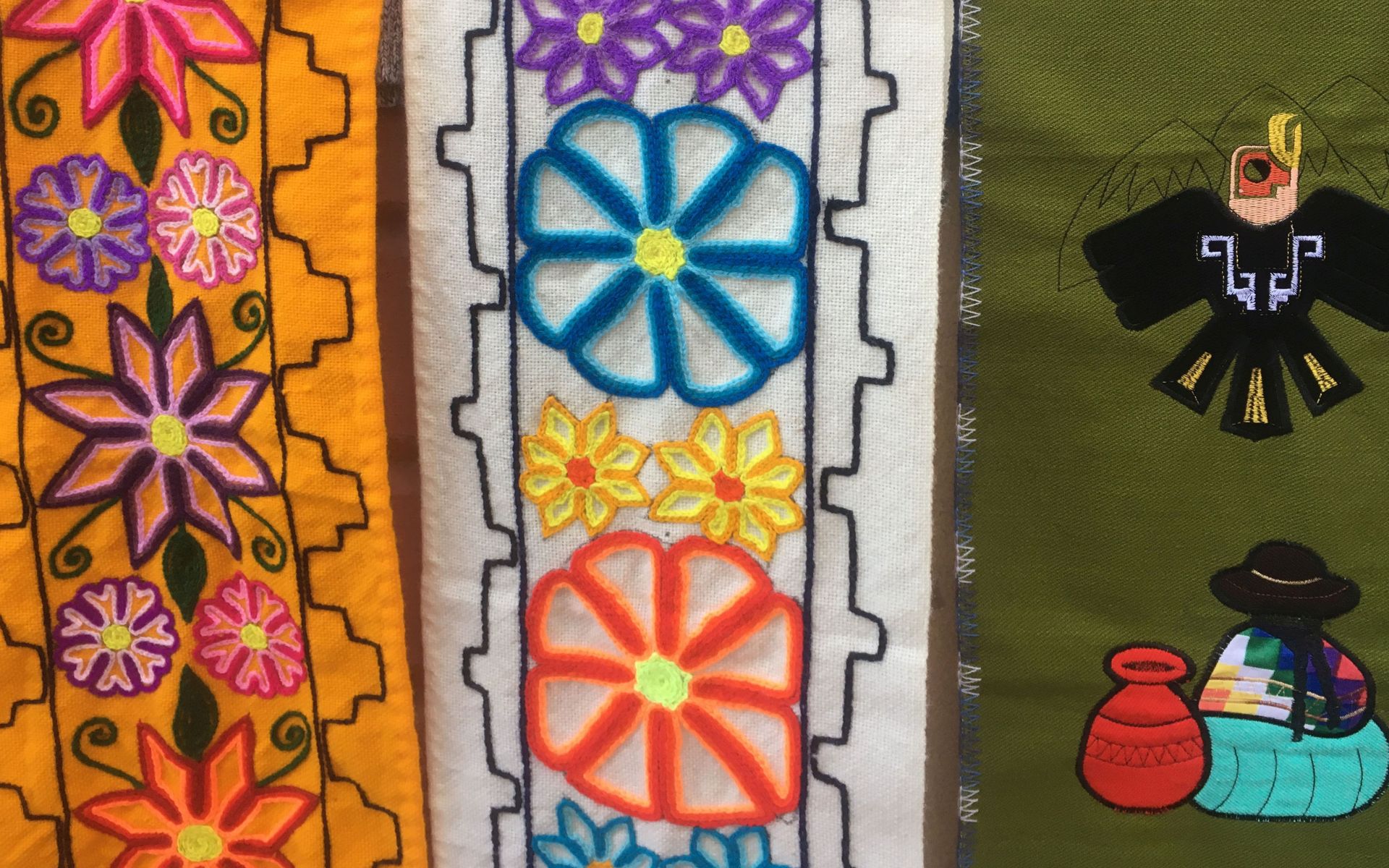
For thousands of years, Indigenous communities have lived here, preserving their beliefs, rituals, festivals, music, art, traditional agriculture, and deep respect for nature.
Today’s inhabitants are mainly descendants of the Quechua people. The valley has been inhabited for over 10,000 years, including by the Omaguaca people, from whom the name originates.
“Humahuaca” is interpreted as “Sacred River.”
The area contains numerous archaeological sites, and the Tropic of Capricorn crosses the Quebrada just north of Tilcara.
LOCATION:
VILLAGES:
Volcán, Purmamarca, Tilcara, Uquía, Tres Cruces, Humahuaca
ROADS:
RN9
MY VIDEOS:
Carnival 2025
DOWNLOADABLE MAPS (PDF):
JUJUY PROVINCE
PURMAMARCA AREA
TILCARA AREA
GALLERY OF MY PHOTOS:
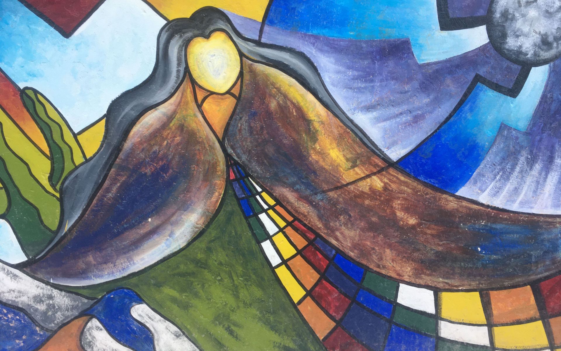
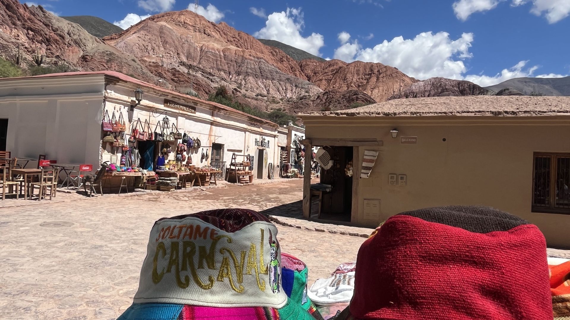
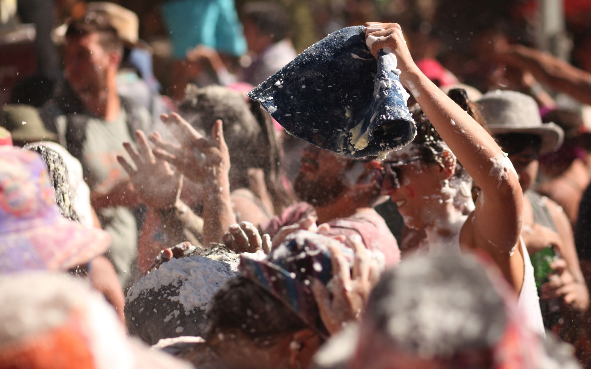
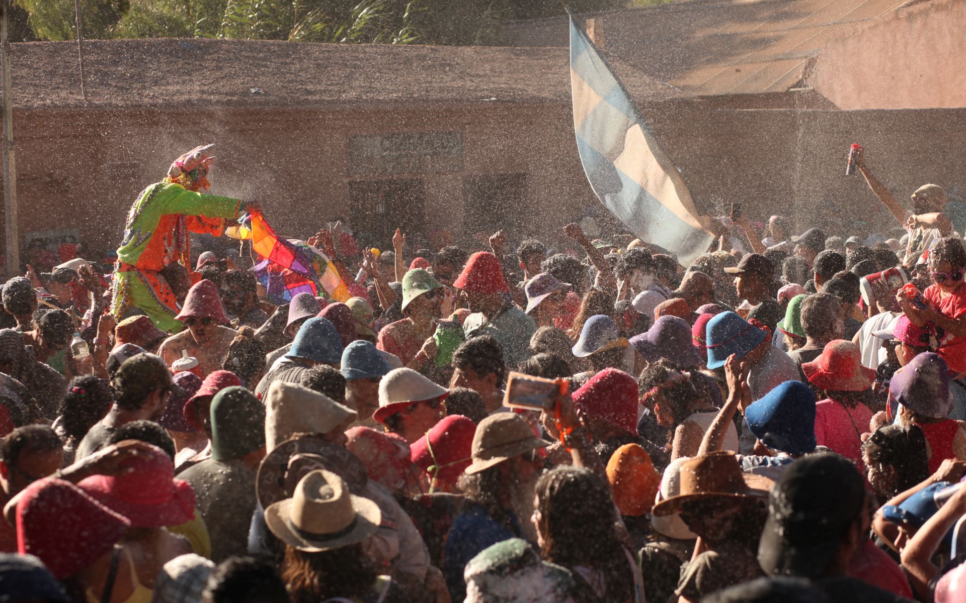
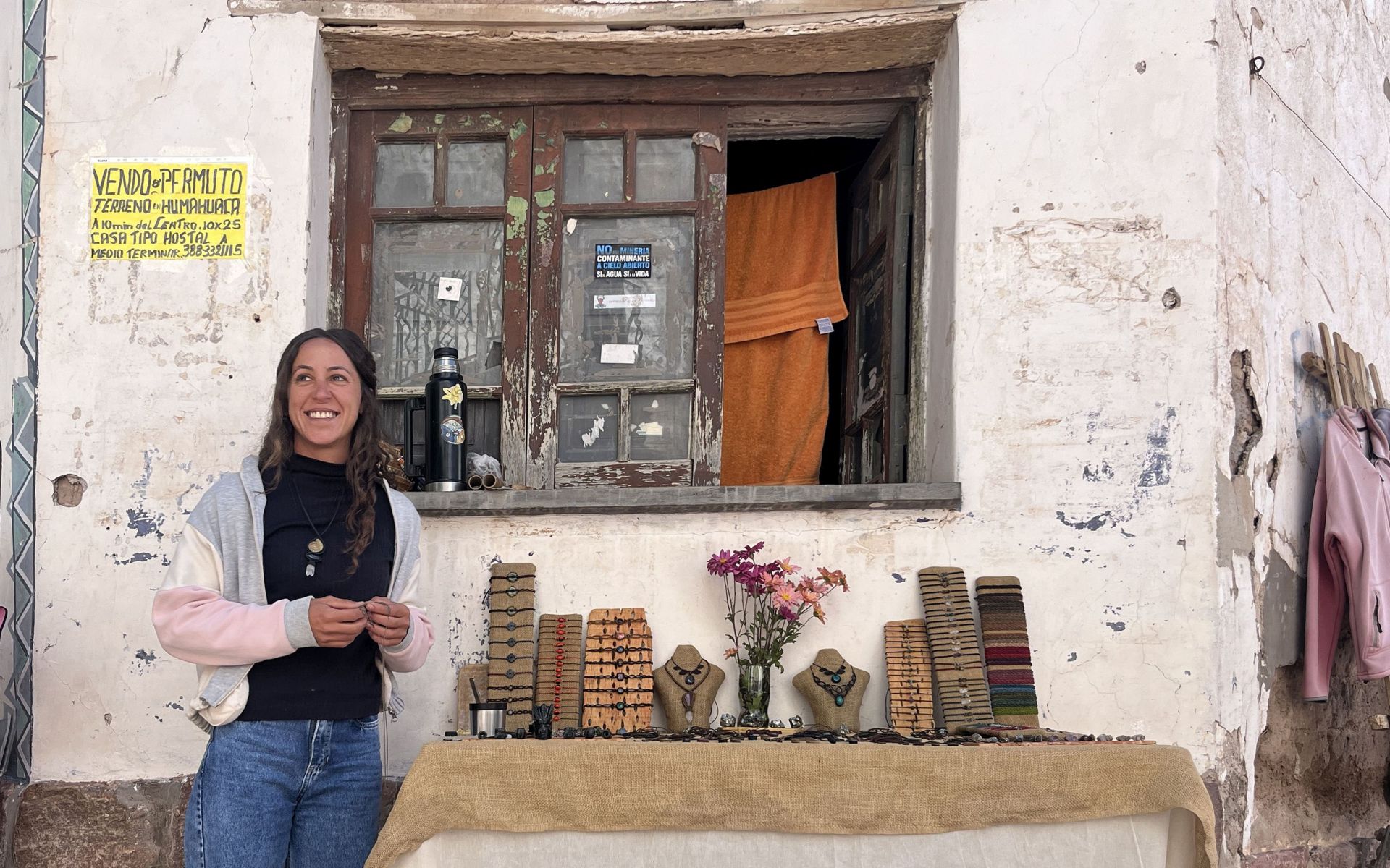
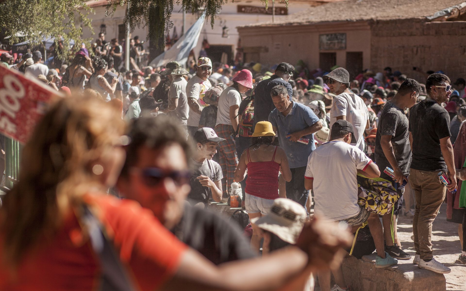
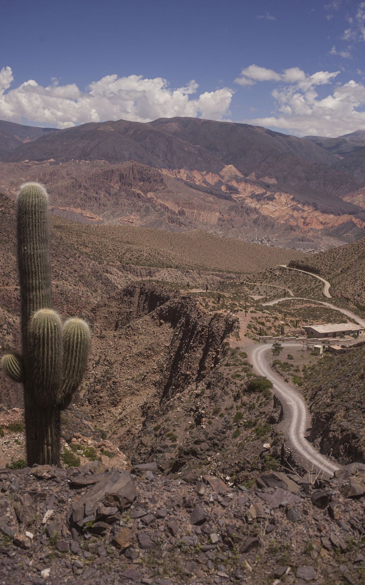
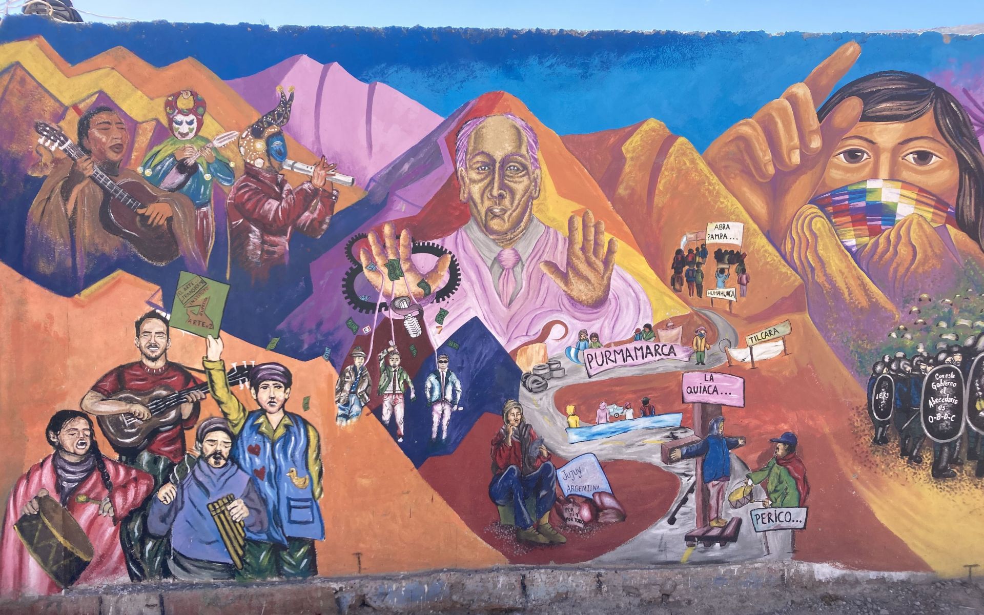
HOT SPRINGS • Provinces: Catamarca, Jujuy
DESCRIPTION:
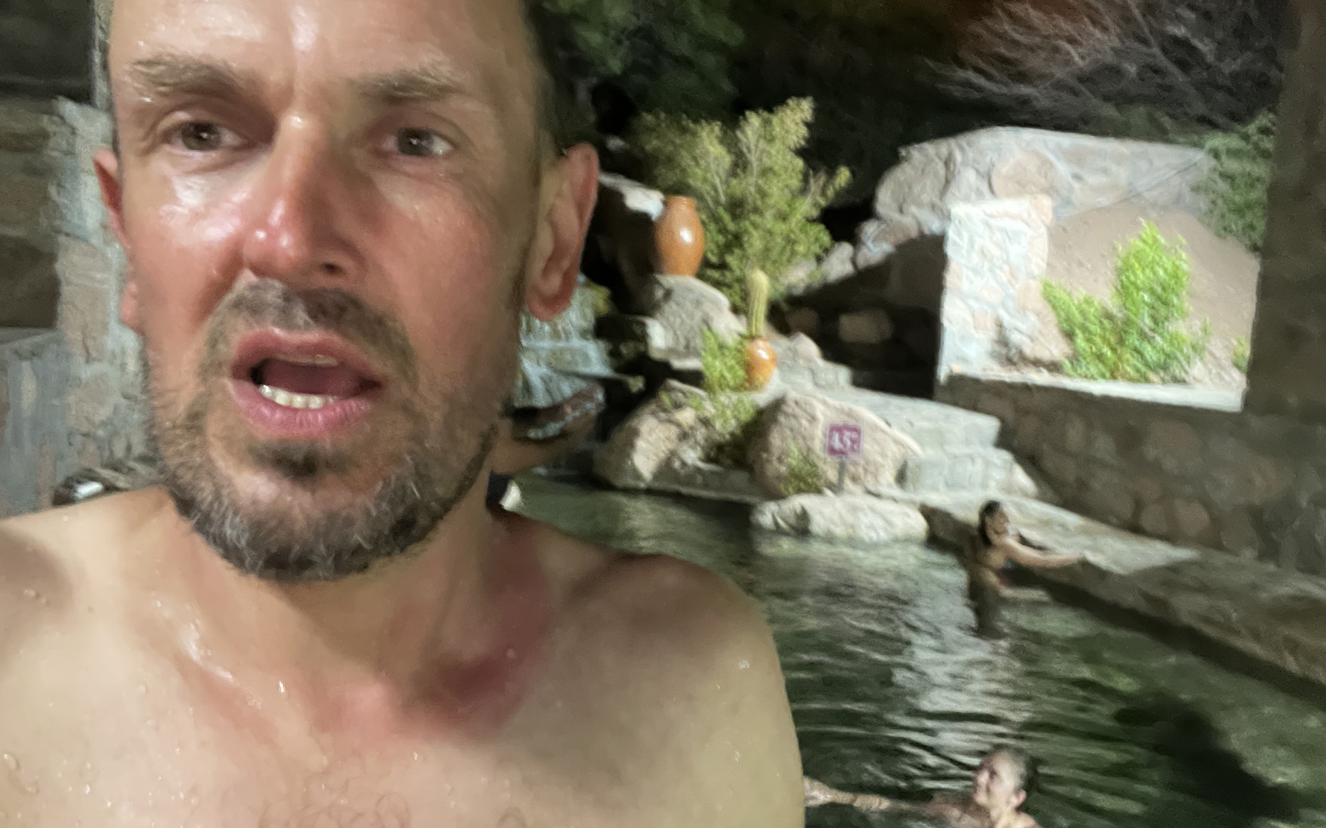
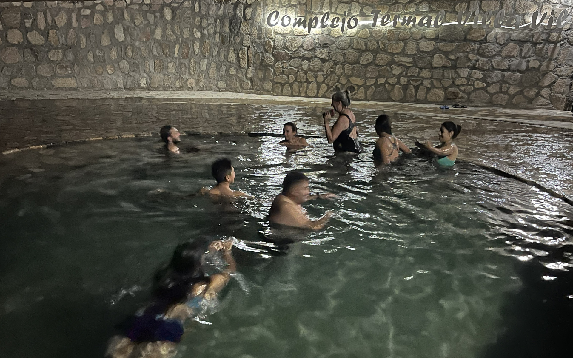
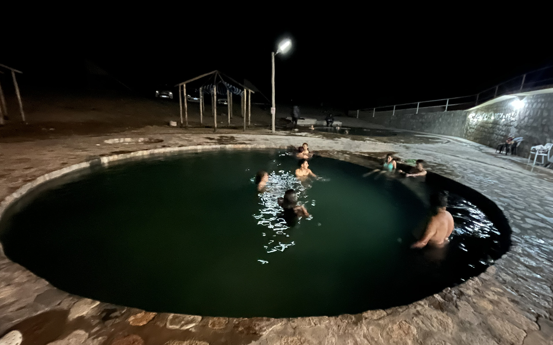
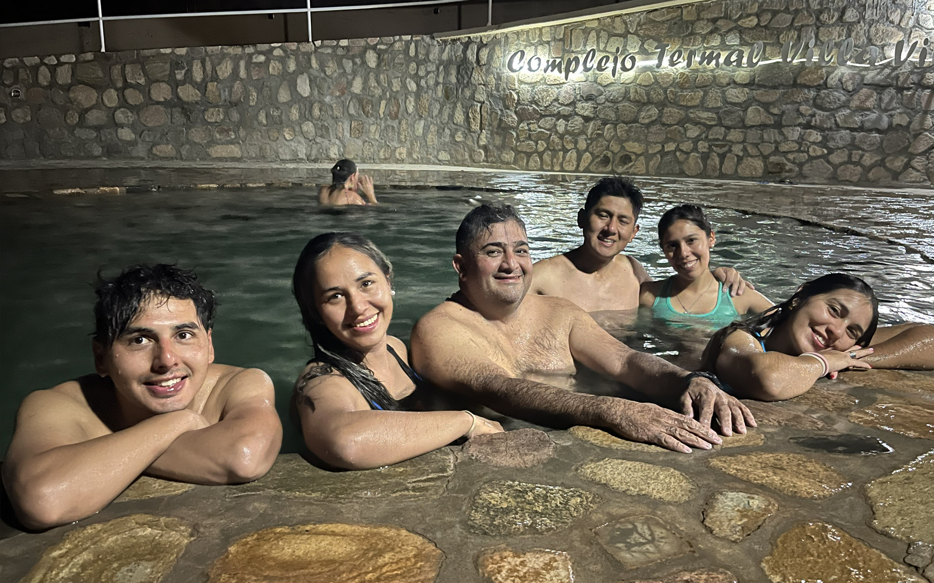
Another one of my main motivations for exploring new places in the Andes is discovering hot springs.
It’s not only about the fact that they are usually located in beautiful surroundings, but also about that relaxing, refreshing,
restorative bath that sometimes works wonders —
nourishing and soothing both body and mind... ;)
LOCATION:
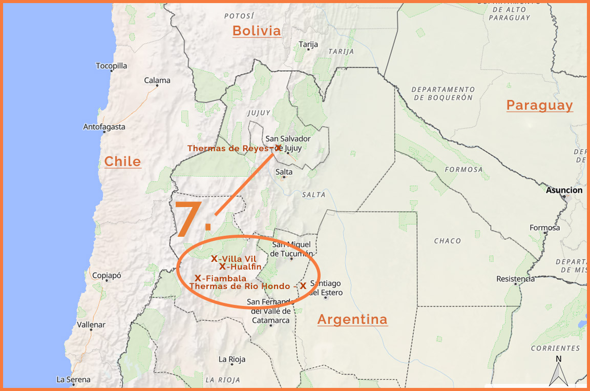
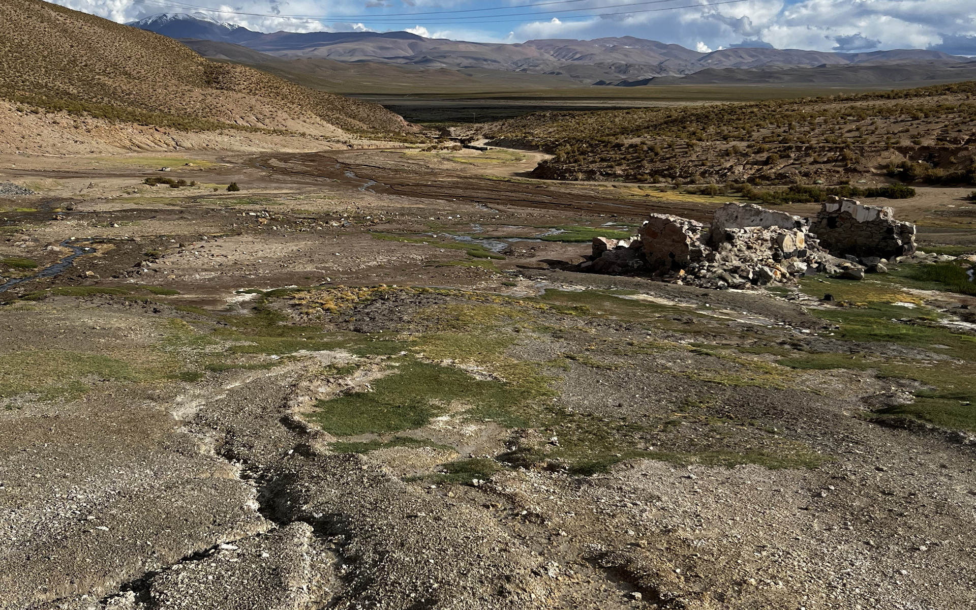
HOT SPRINGS IN JUJUY:
Thermas de Reyes (Yala), Thermas San Antonio de los Cobres:
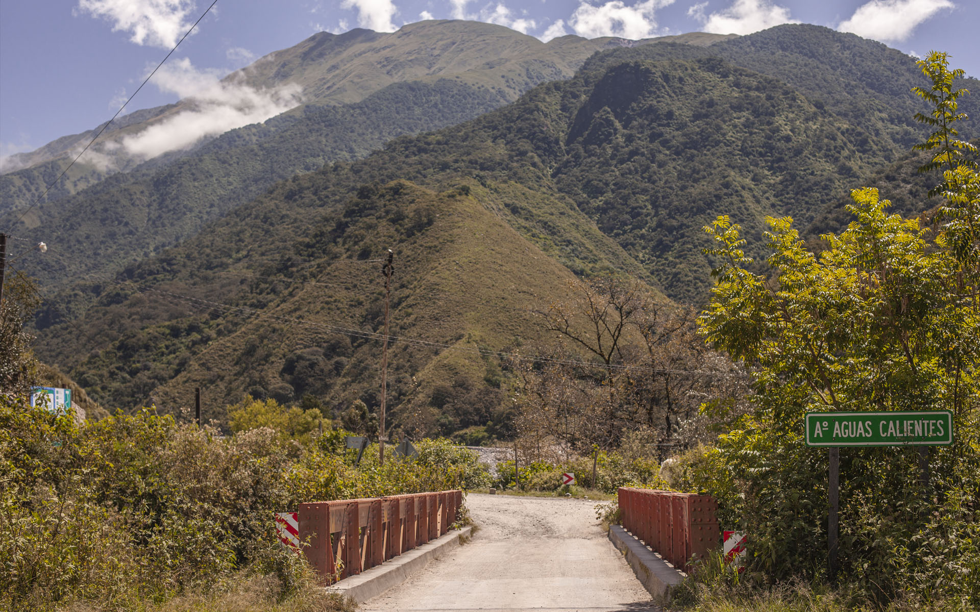
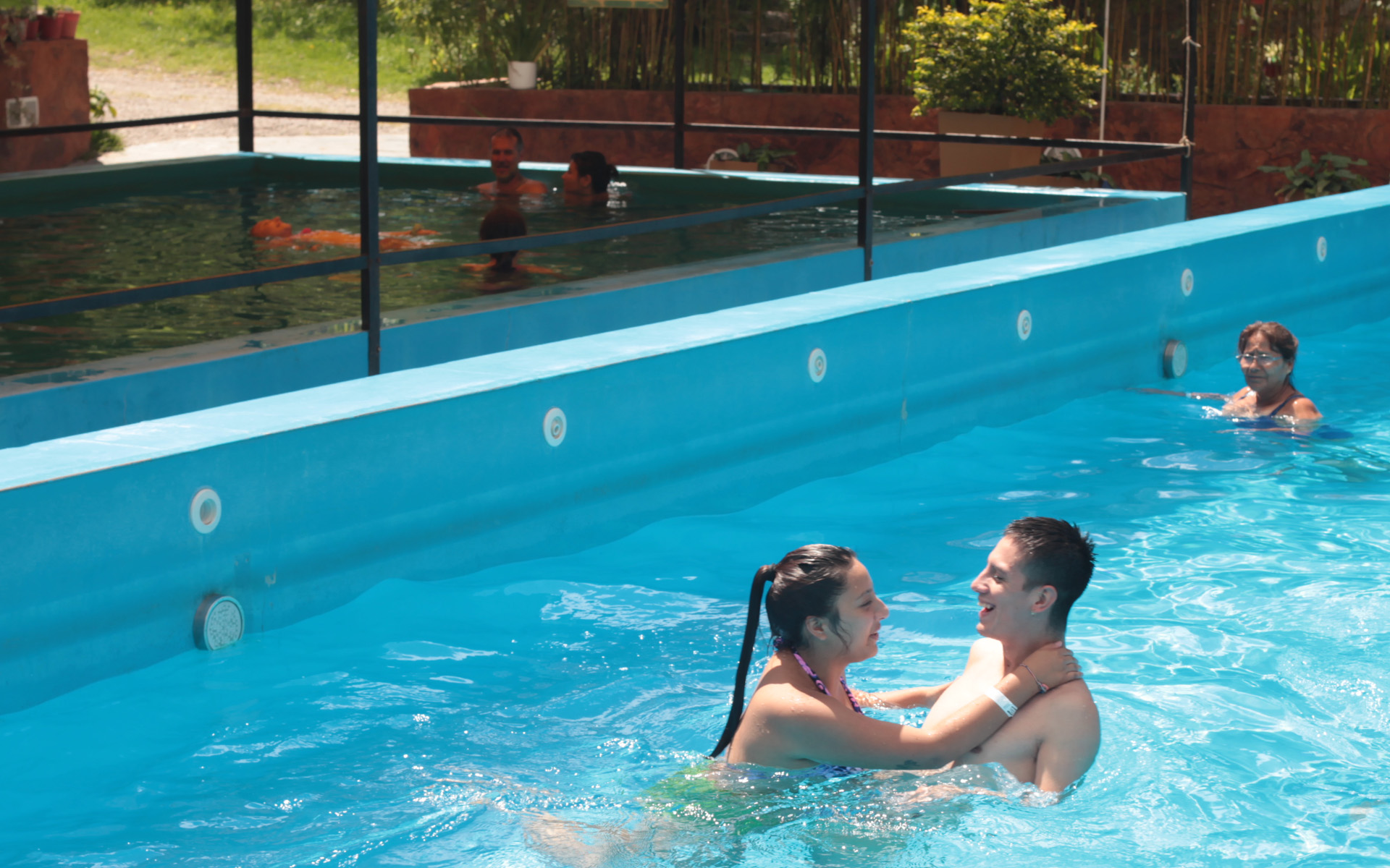
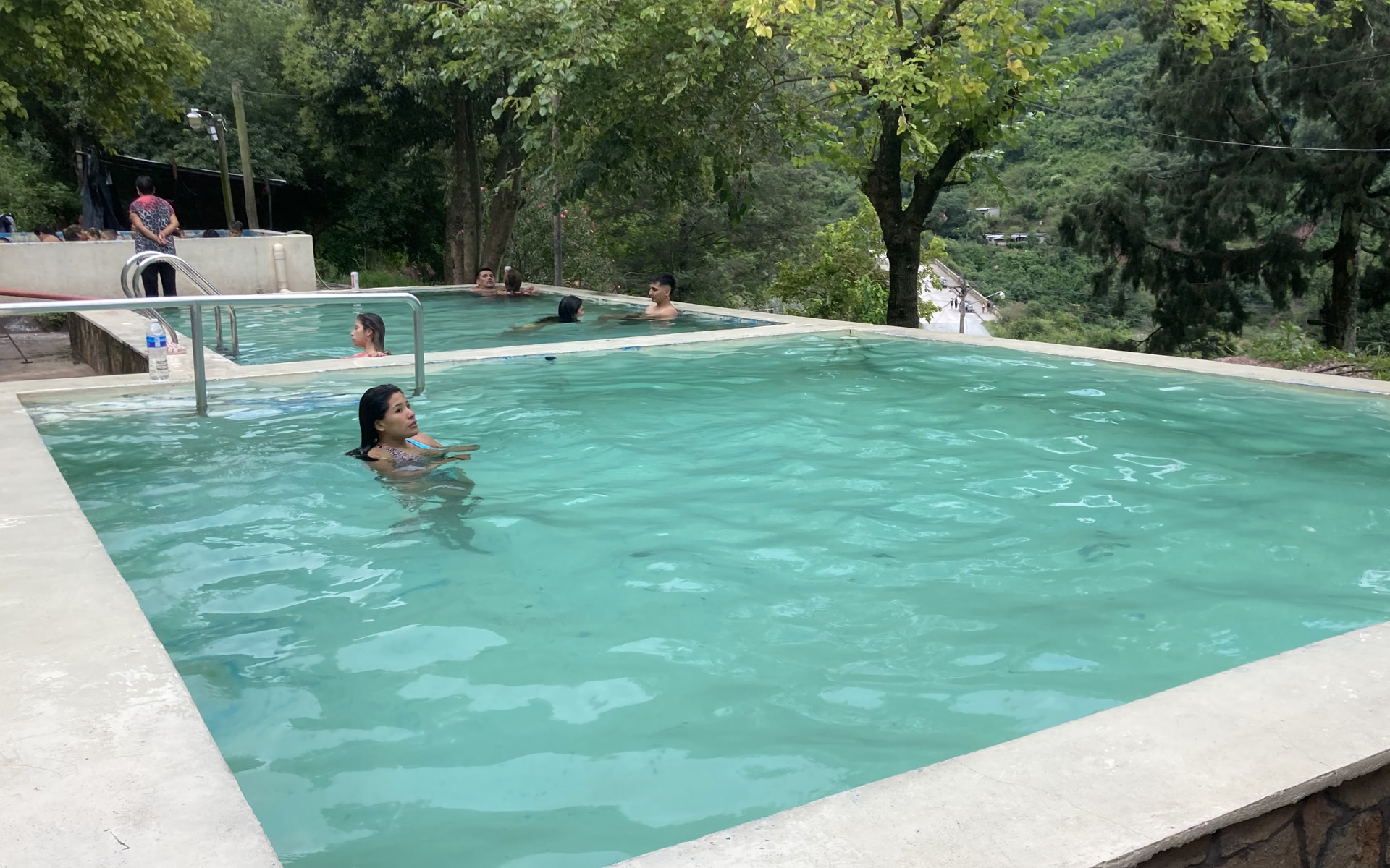
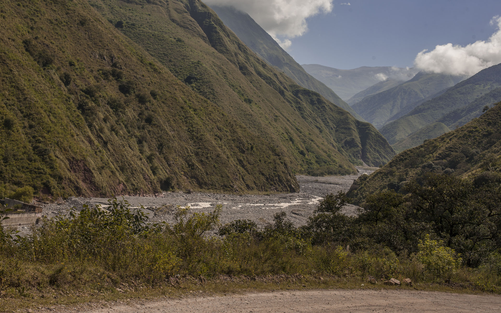
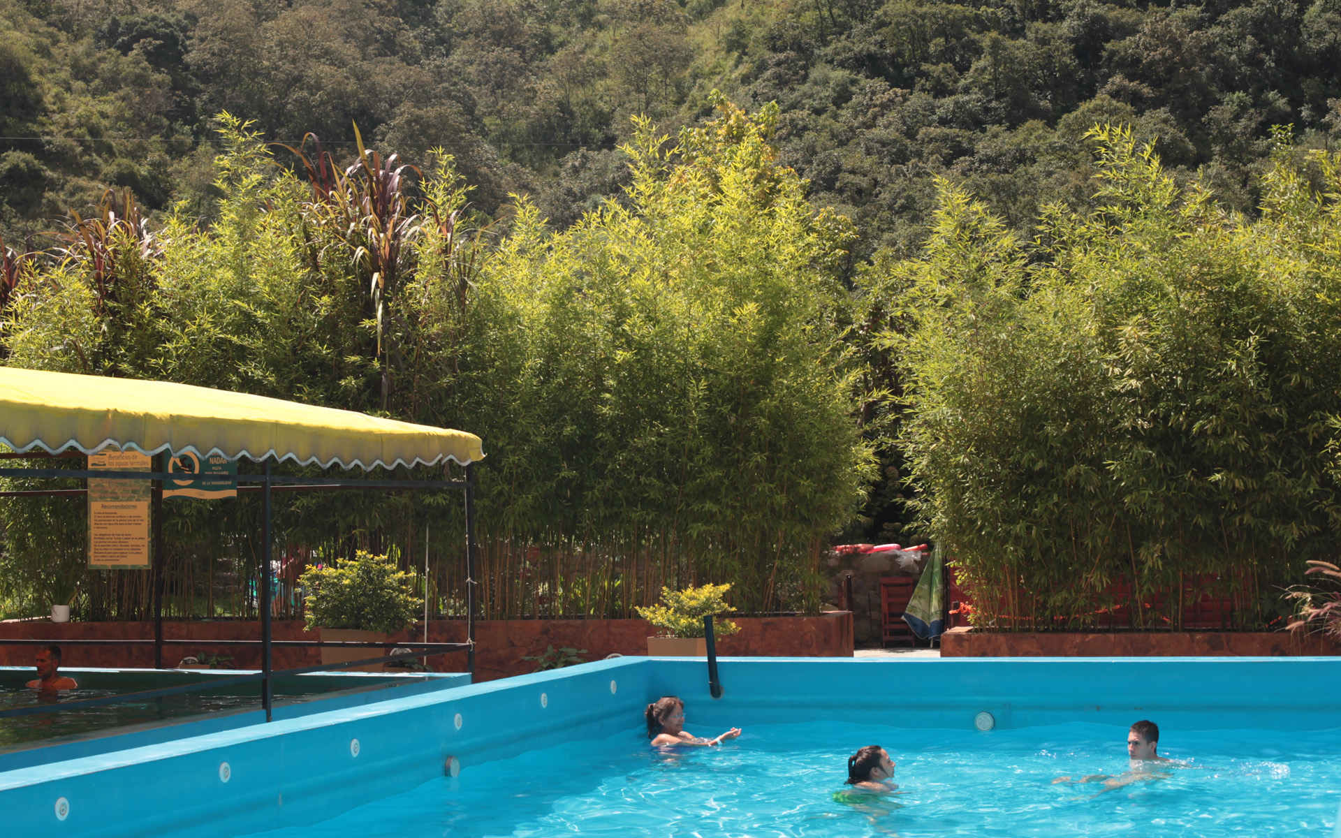
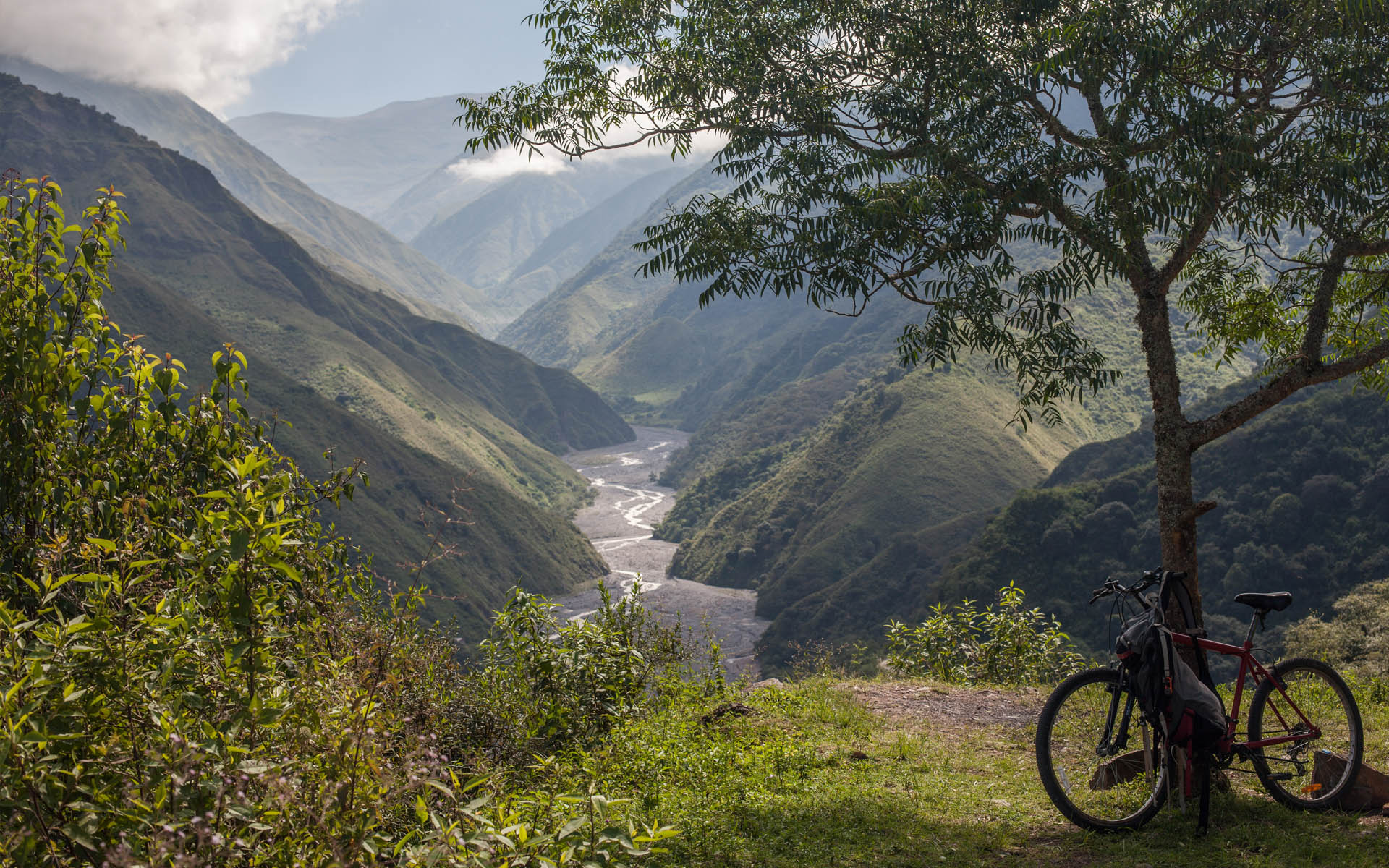
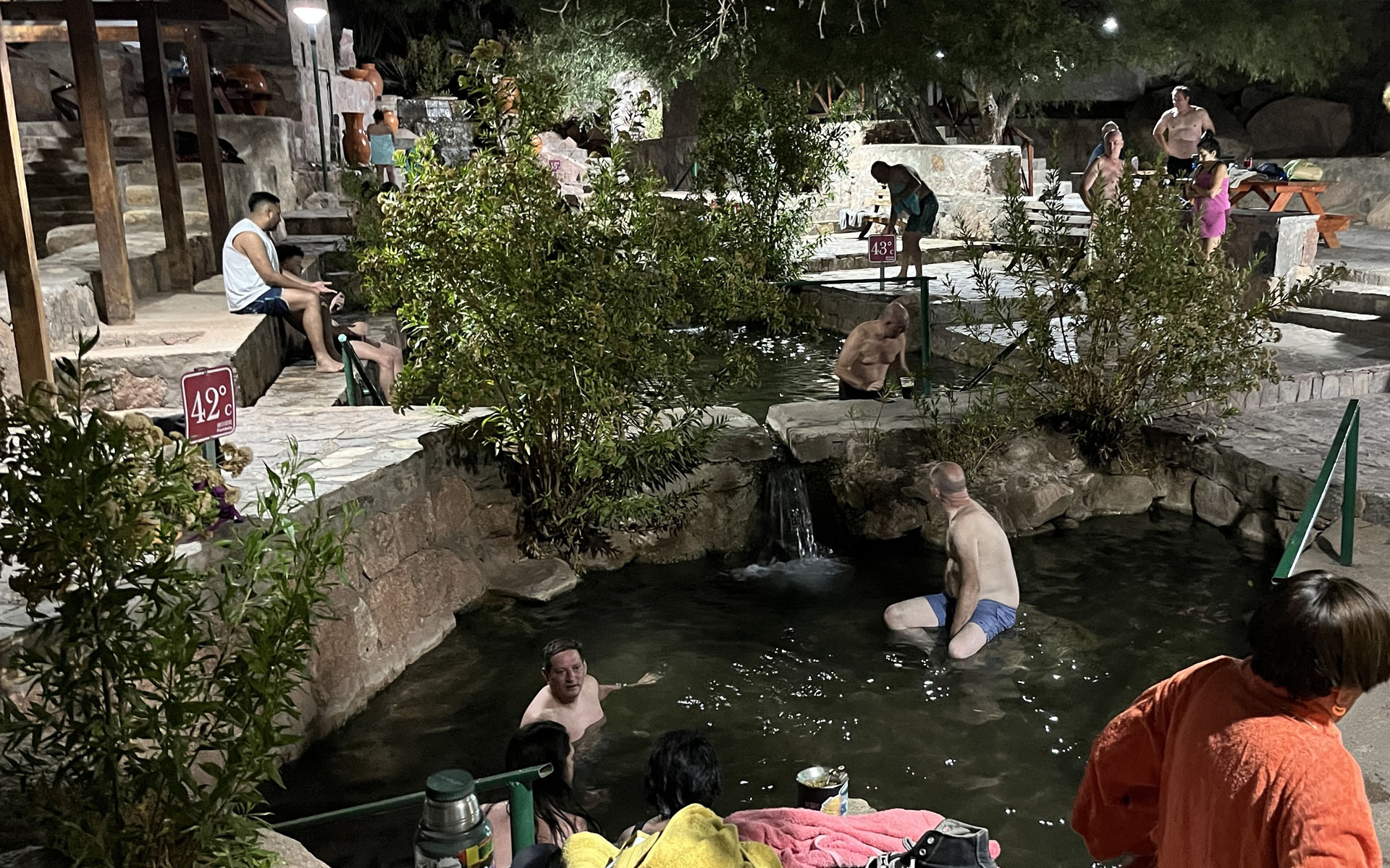
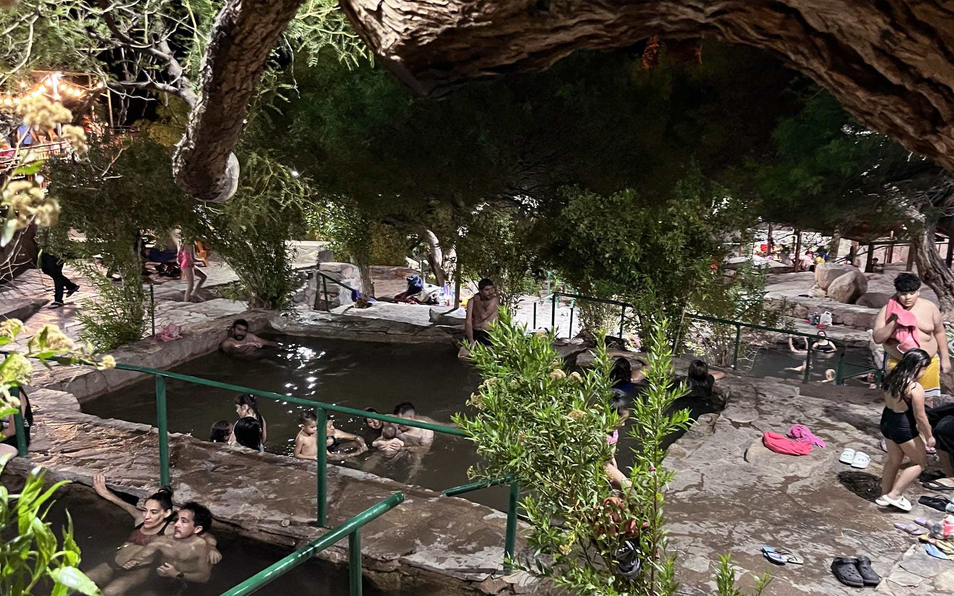
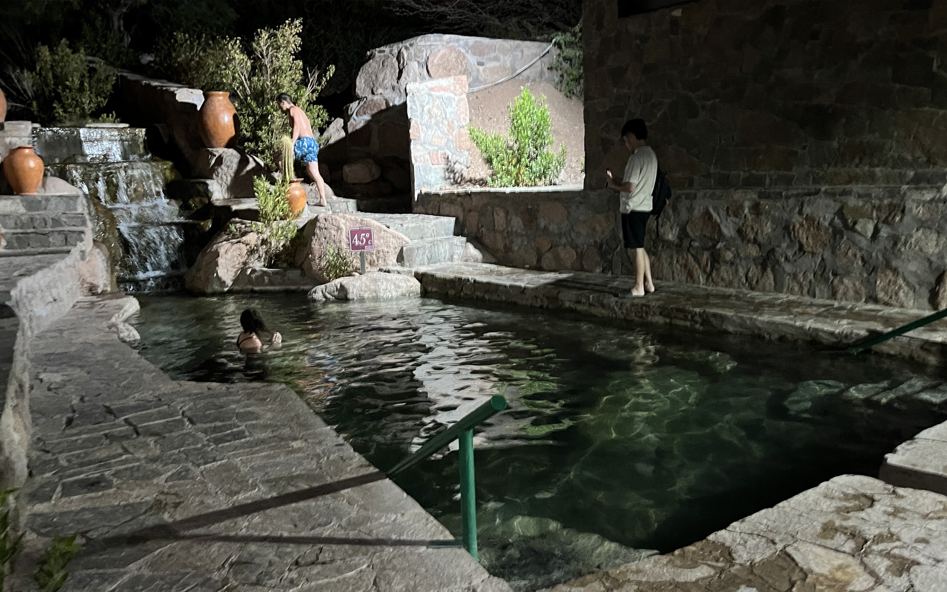
HOT SPRINGS • CATAMARCA:
Fiambala, Villa Vil, Hualfin:
VILLAZON • Bolivia
DESCRIPTION:
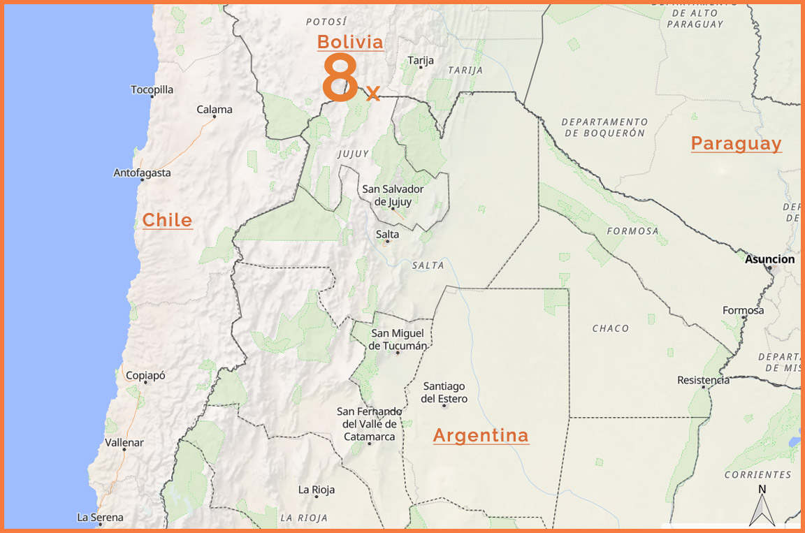
One of the places I hold in special regard is the Bolivian town of Villazón — a very specific border settlement right on the edge with Argentina,
at 3500 m above sea level on the Altiplano...
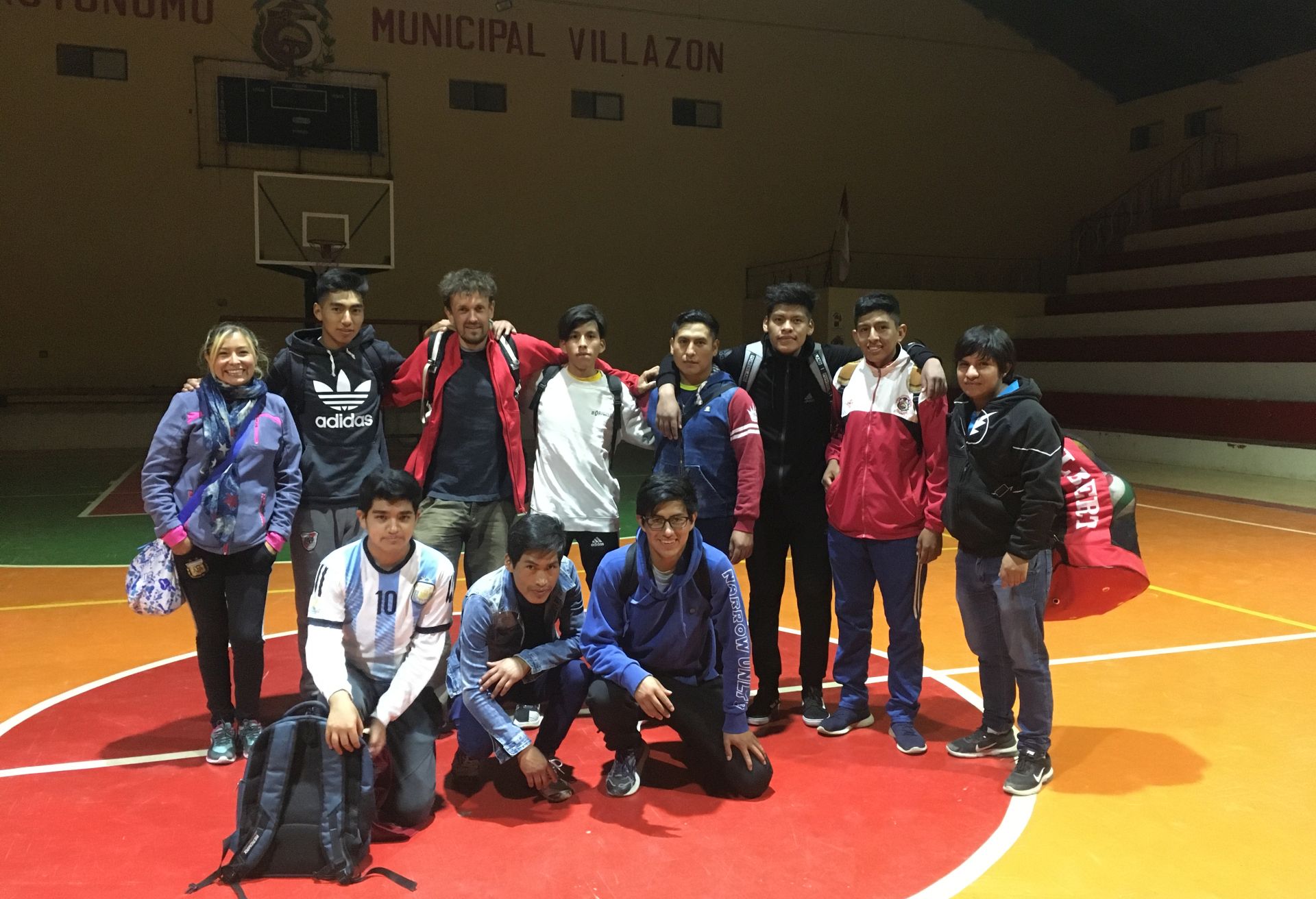
Every time I pass through here — and as you can see below, that happens quite often —
I’m met with a distinctive feeling, almost a shift in the atmosphere of life: from the joyful, light, superficial, picnic-like openness of Argentina
to the more dignified, calm, simple, and reserved Bolivian tone.
Crossing into Bolivia always comes with this characteristic change of climate, and Villazón has become its physical manifestation for me.
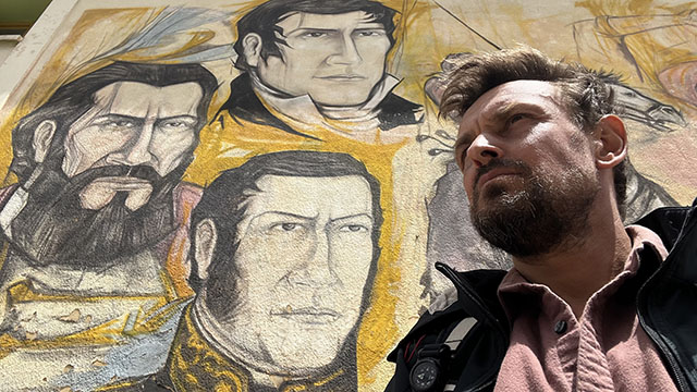
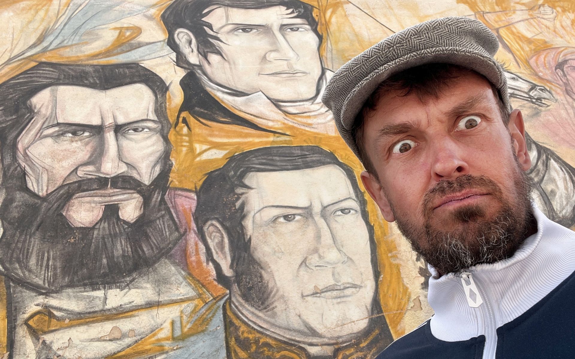
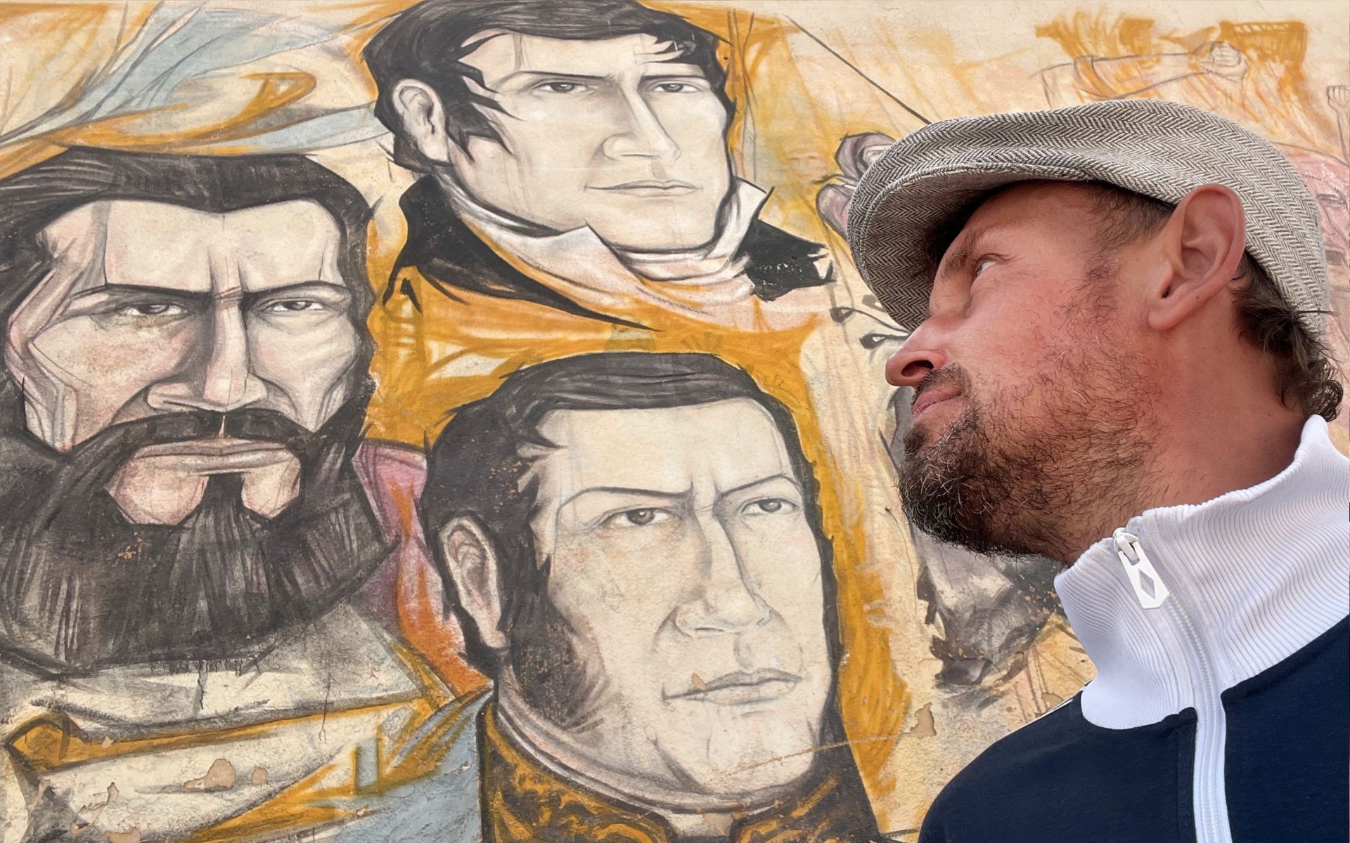
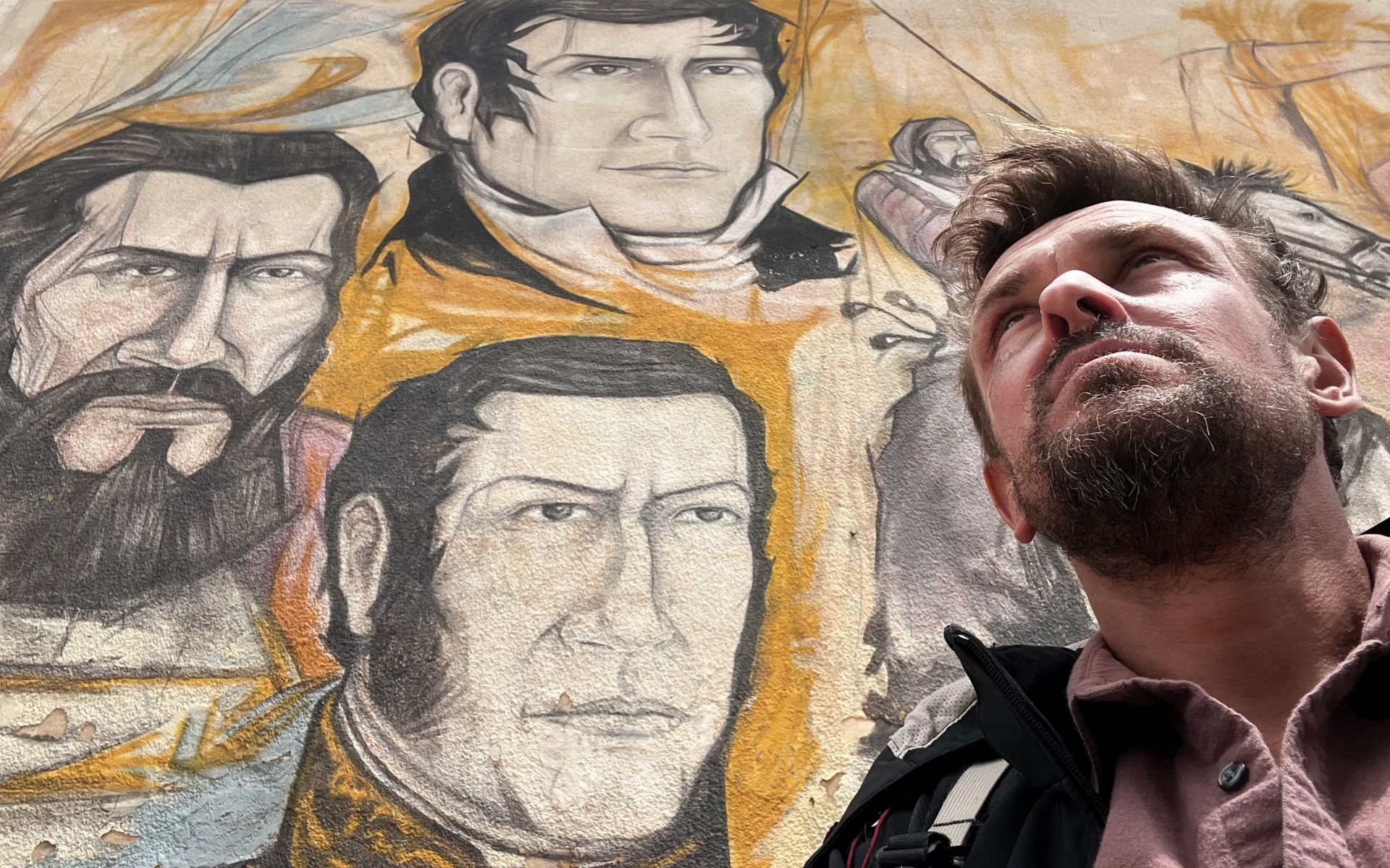
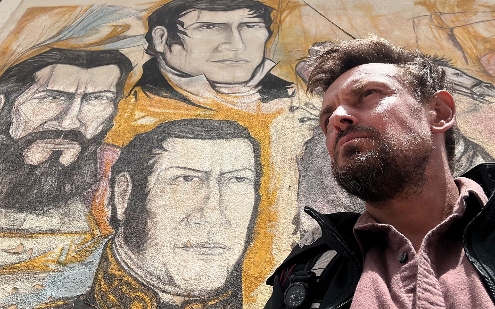
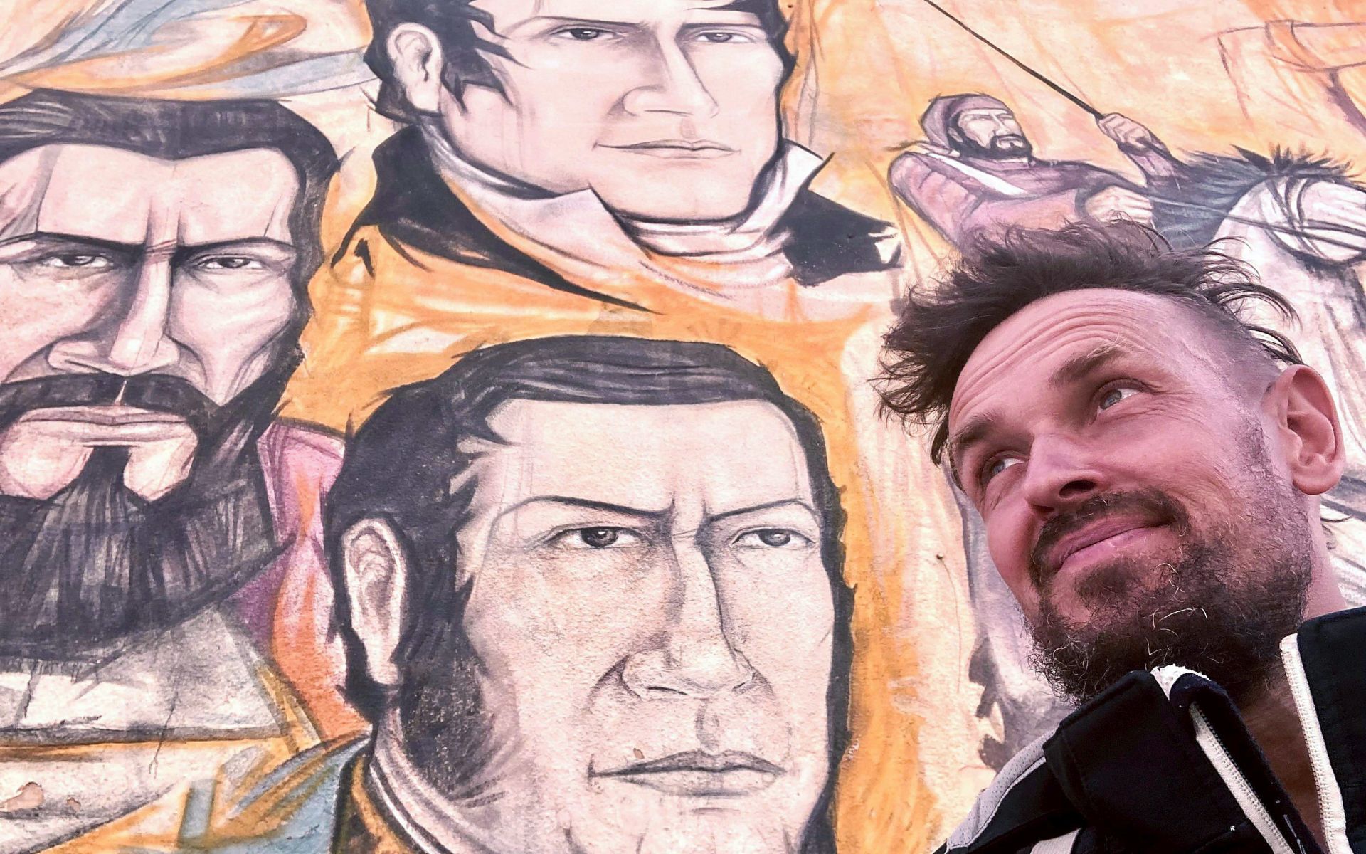
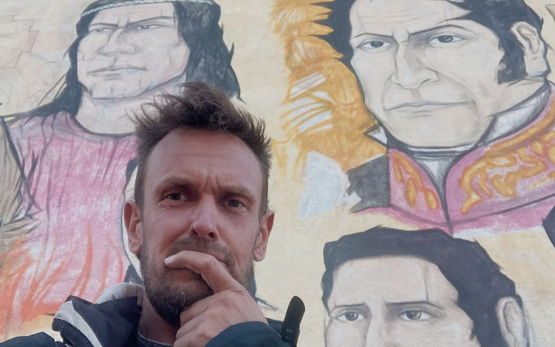
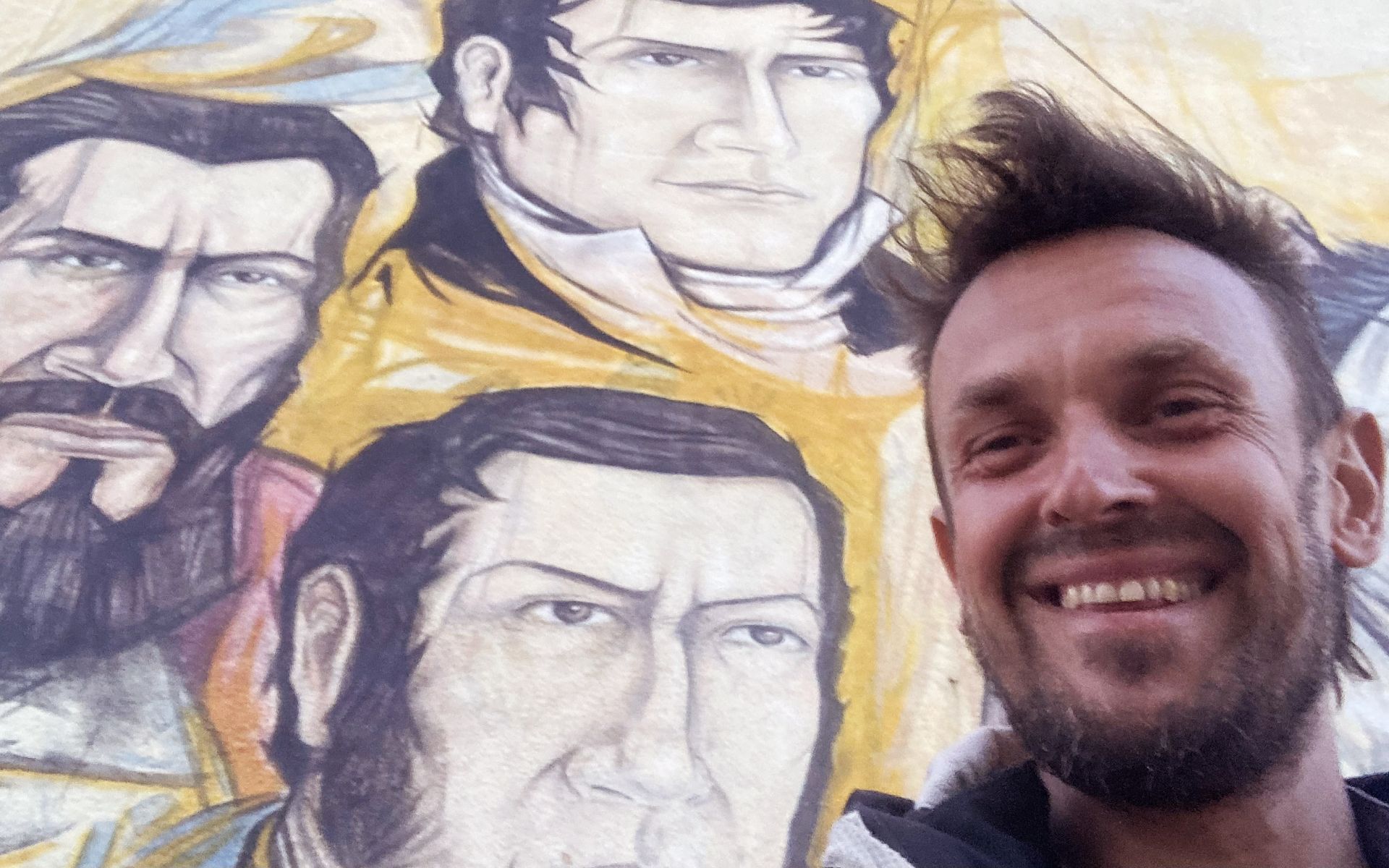
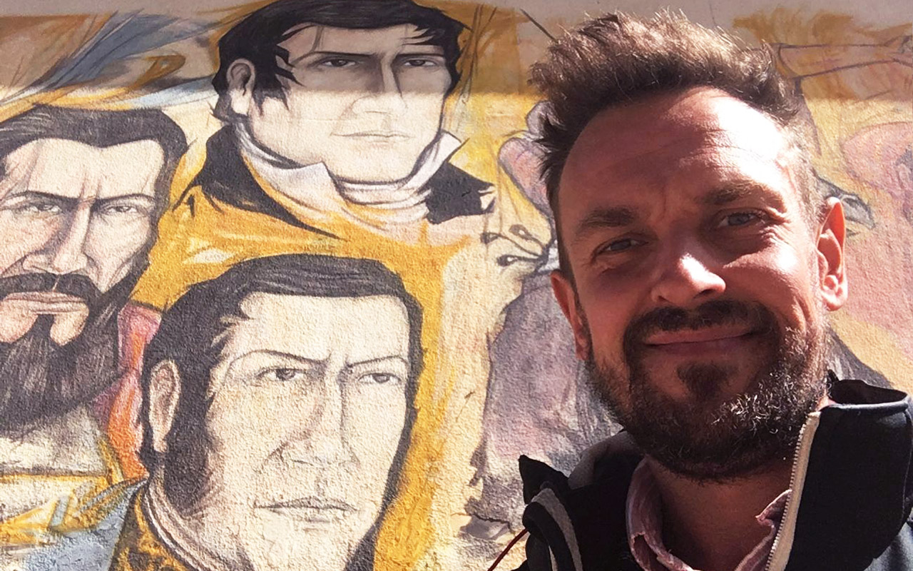
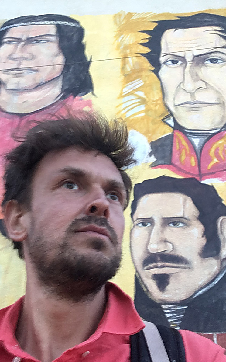
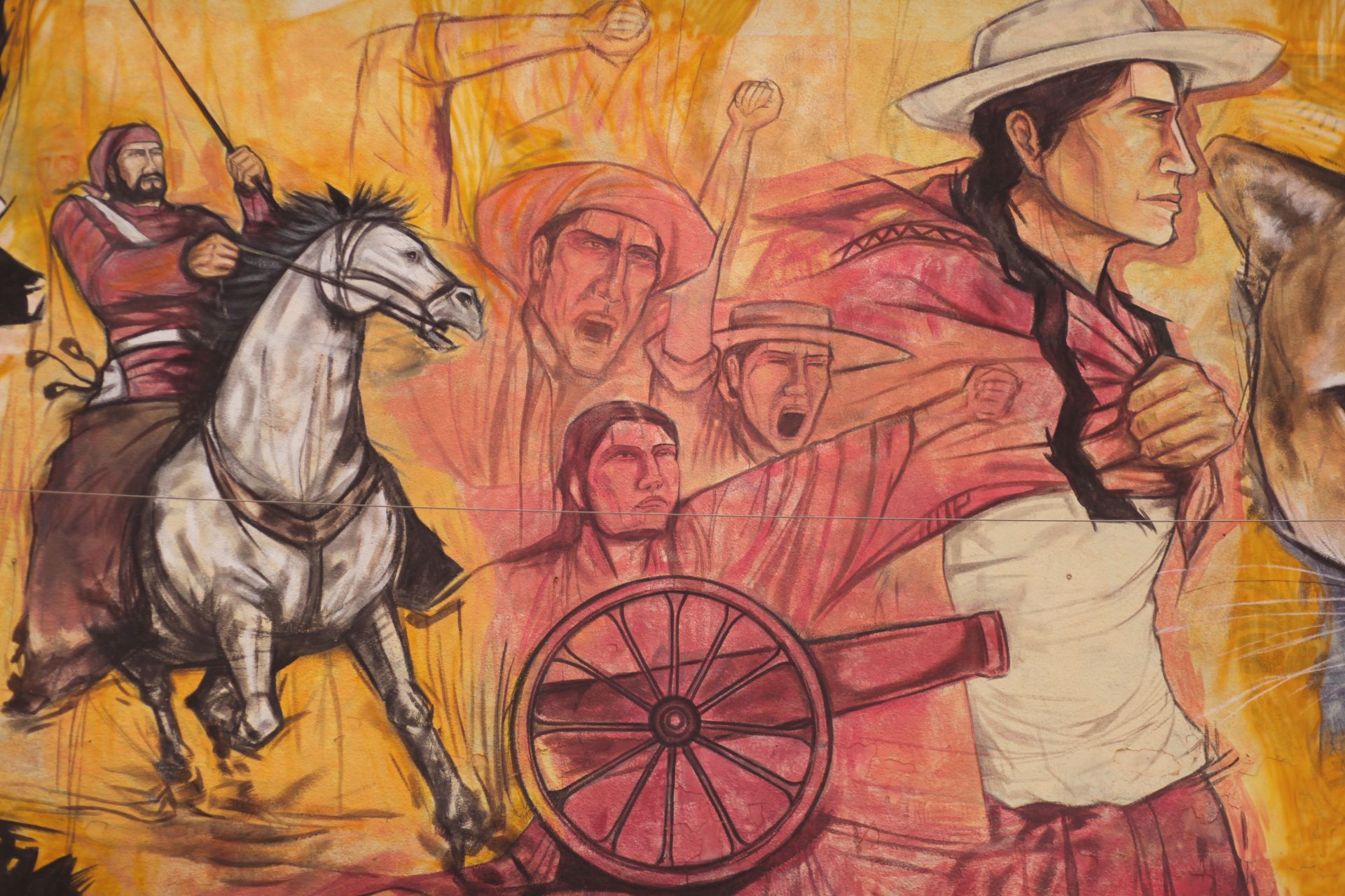
In the very center of the town there is a striking, massive mural dedicated to the heroes of the independence struggle:
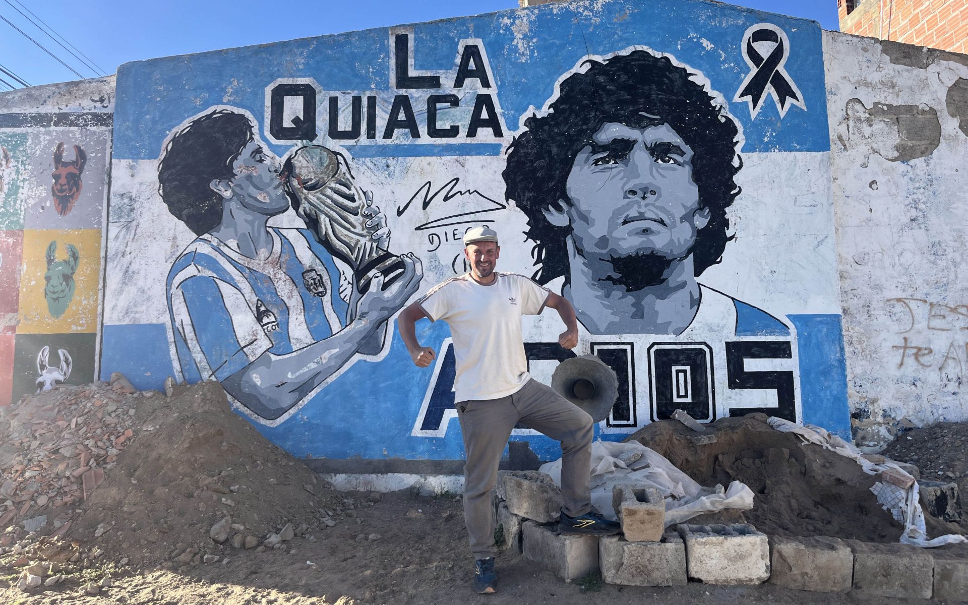
“Mural de los Héroes de la Independencia”, which documents year by year... Look and admire: José de San Martín, Manuel Belgrano, Simón Bolívar, and Michał Tyszka / Túpac Amaru II ;)
Interestingly, whenever I pose for a photo, I usually take the place of Túpac Amaru... ;)
Whether that’s coincidence or something more meaningful, I guess I’ll find out when I follow his path in winter 2026/27...
LOCATION:
GALLERY Heroes of Independence
CROSSINGS WITH CHILE
DESCRIPTION:
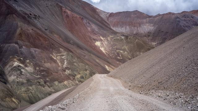
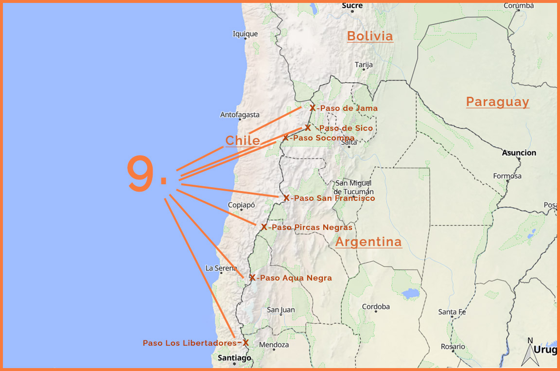
If official government data is to be believed, there are supposedly over 70 border crossings between Argentina and Chile!!!
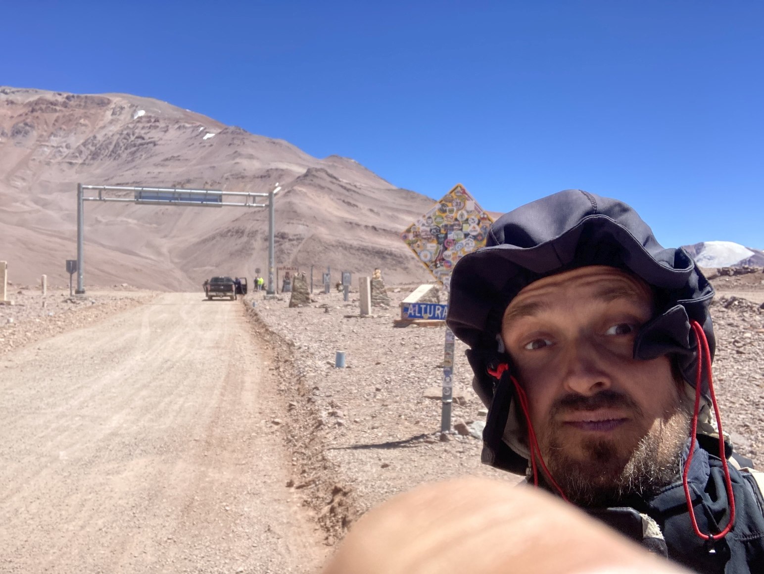
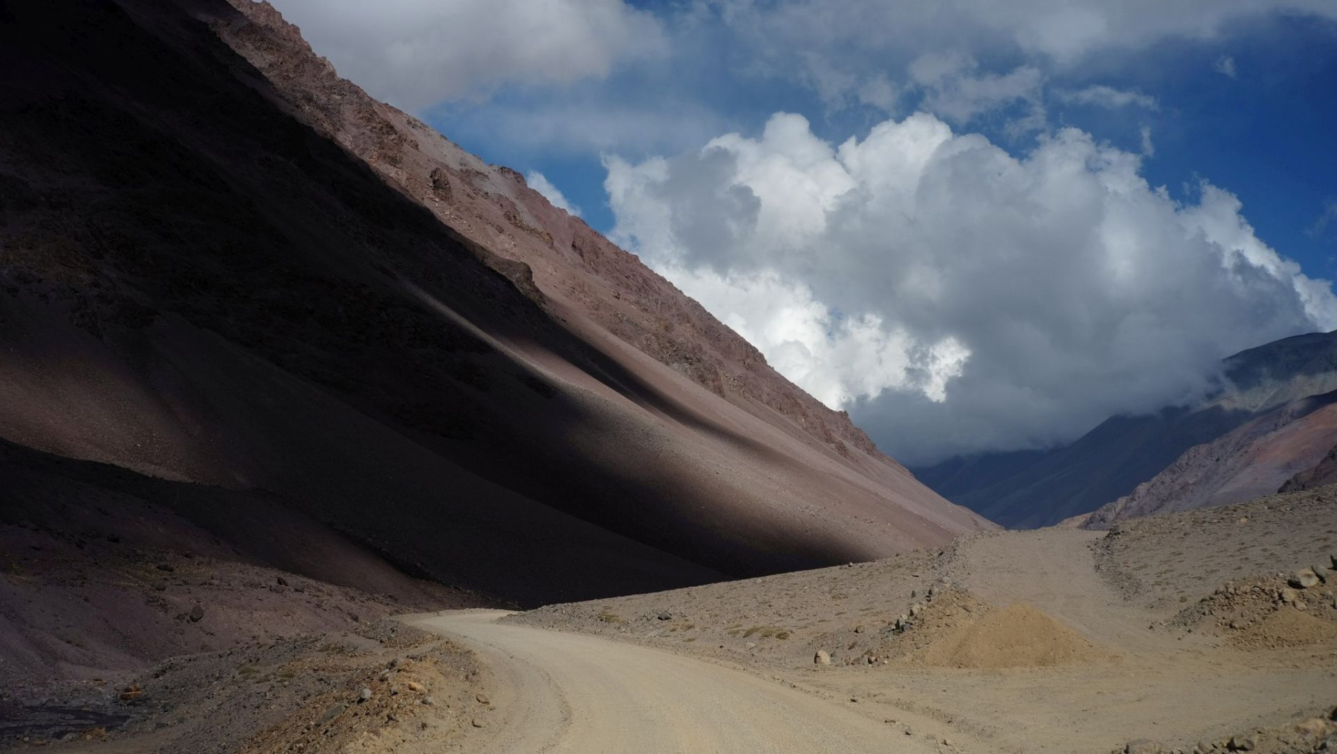
In the list below, I focus on the most interesting road passes (which does not always mean they are passable or open, etc.) in the high Andes,
north of the largest one, Los Libertadores, connecting Argentine Mendoza with Santiago de Chile. I’ve been to all of them, so here are a few words about each...
LOCATION:
JUYUY: PASO DE JAMA
- 23°14′15″S; 67°04′35″O; 4200m n.p.m.
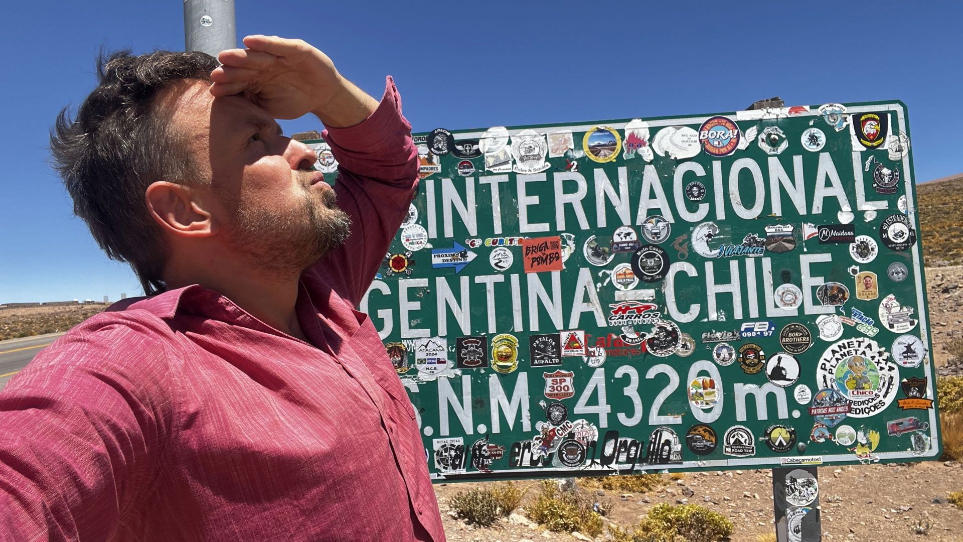
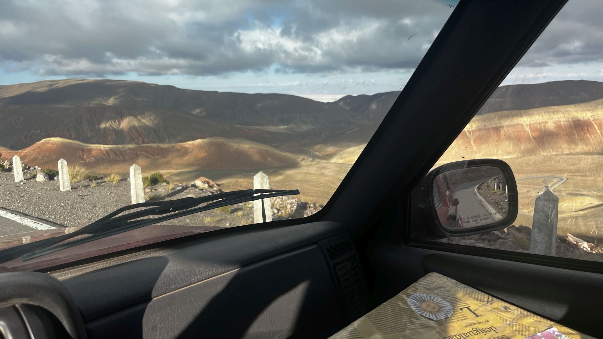
SALTA: PASO DE SICO
- 23°50′40″S; 67°15′41″O; 4080m n.p.m.
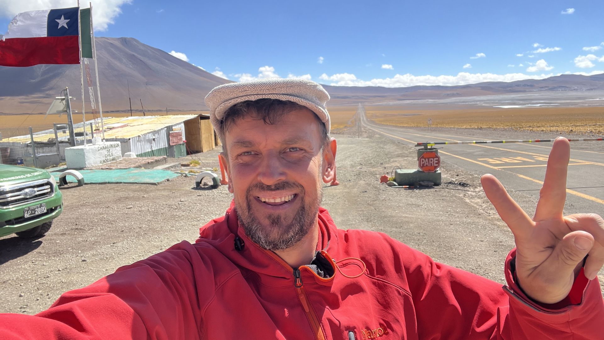
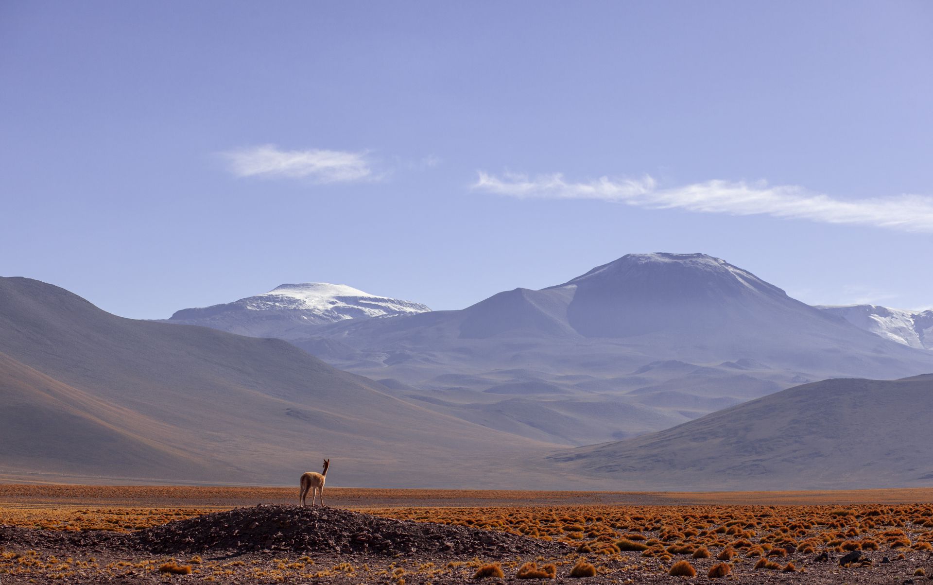
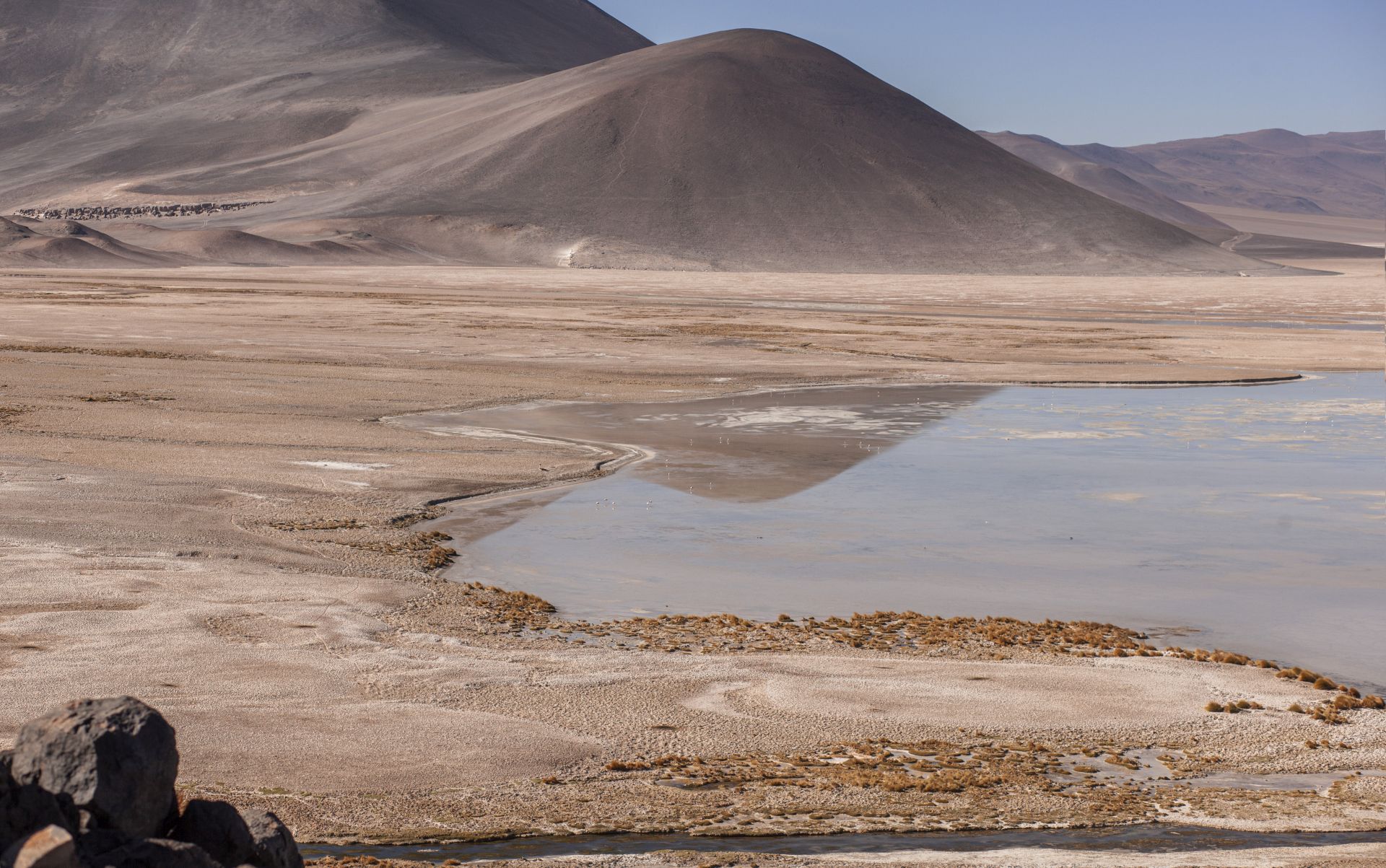
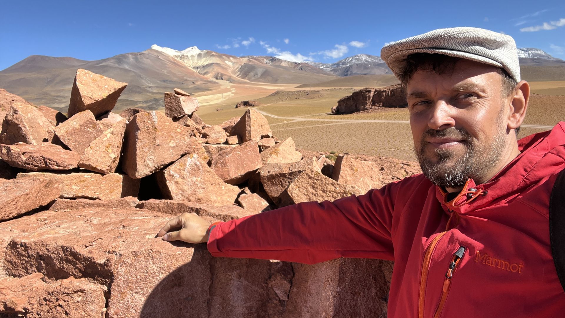
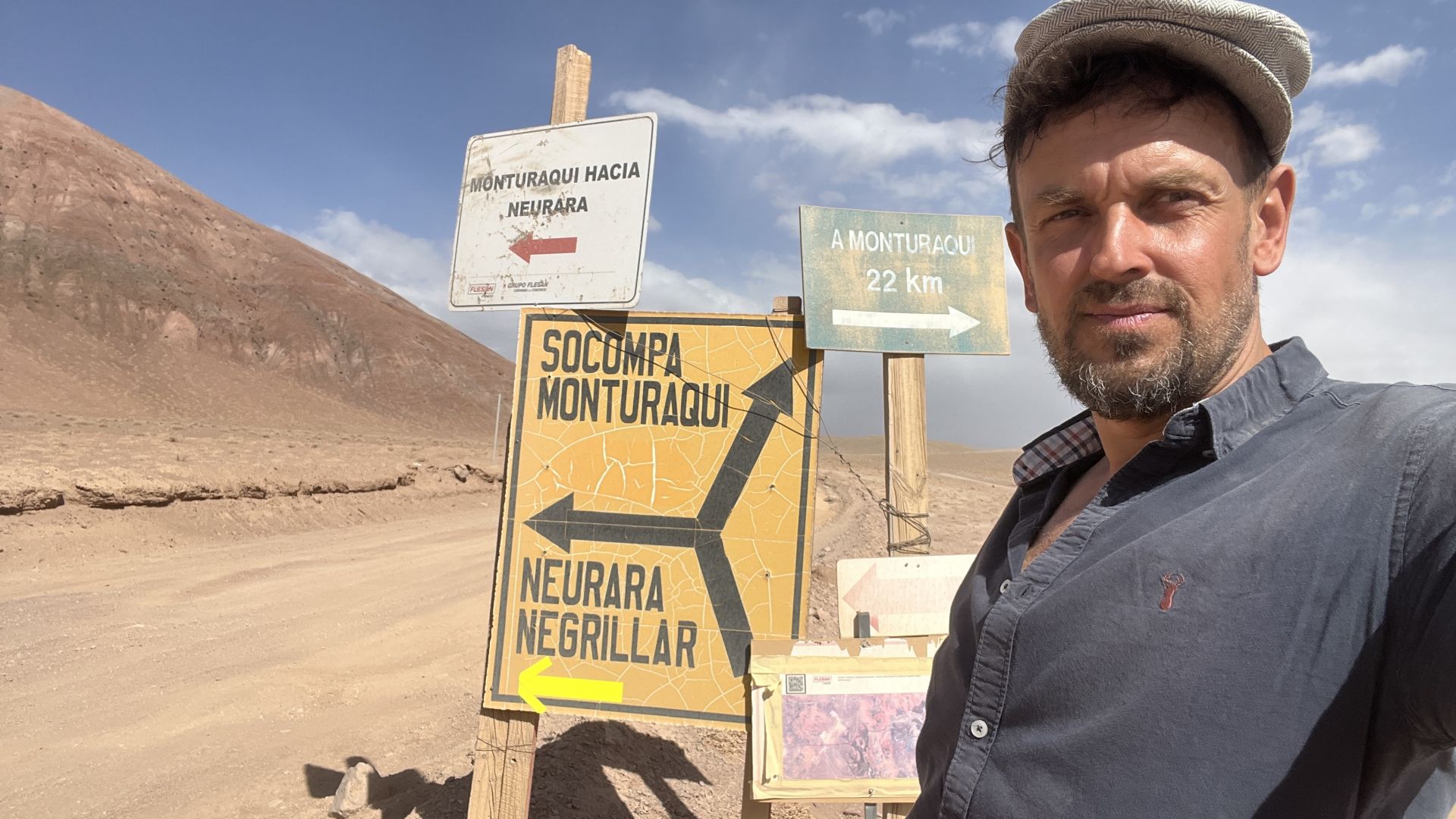
SALTA: PASO SOCOMPA
- 24°27′S; 68°18′O; 3876m n.p.m.
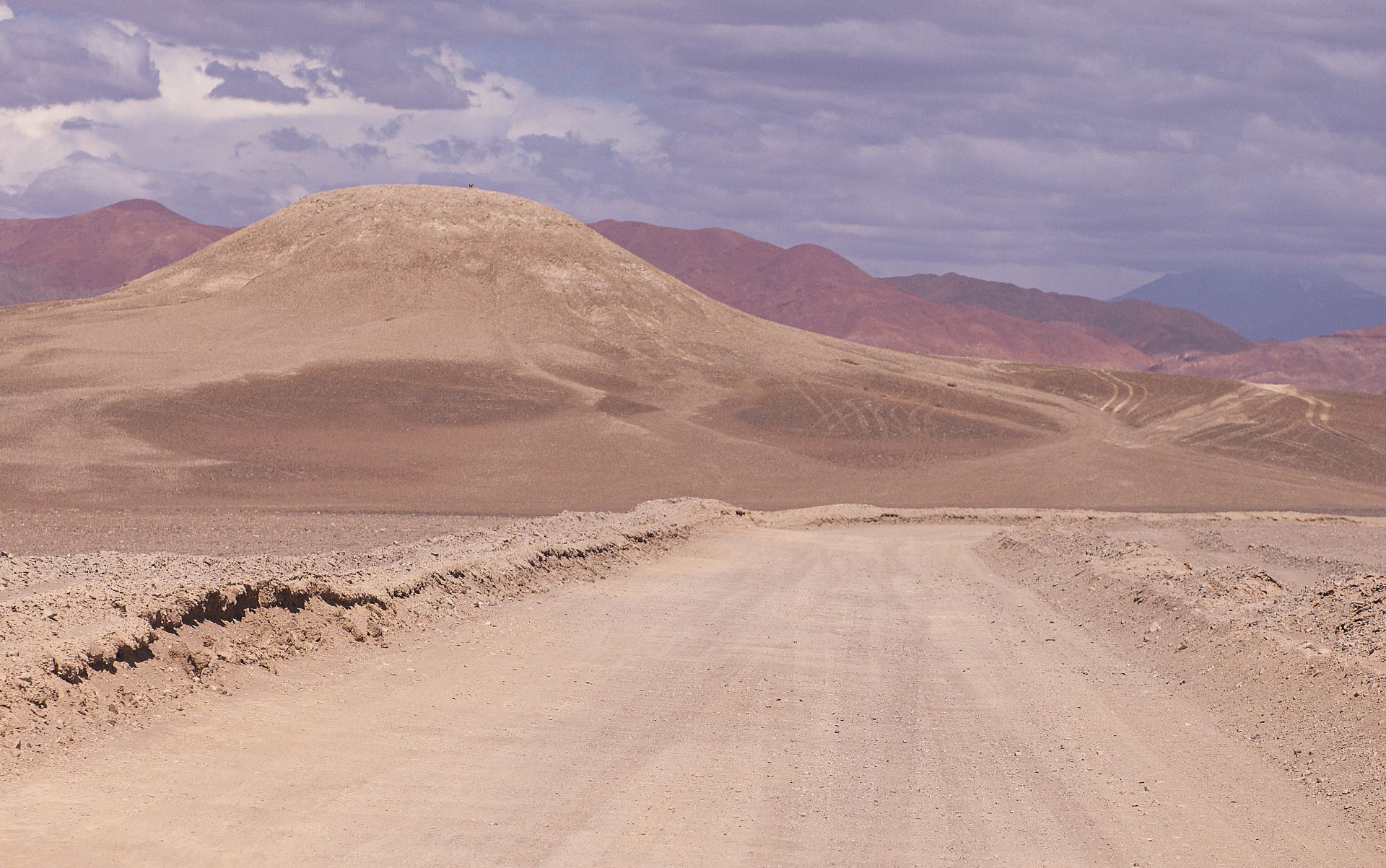
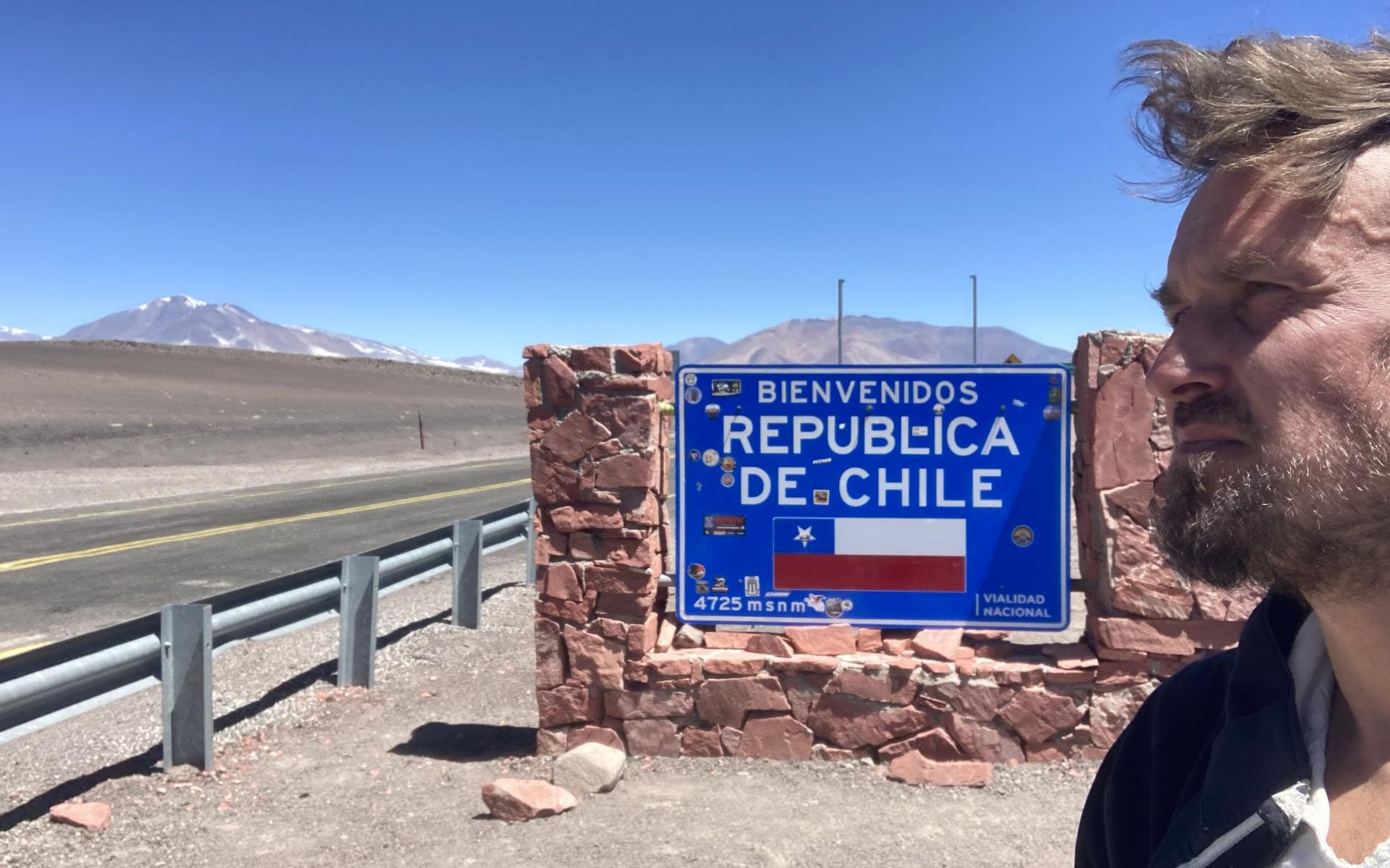
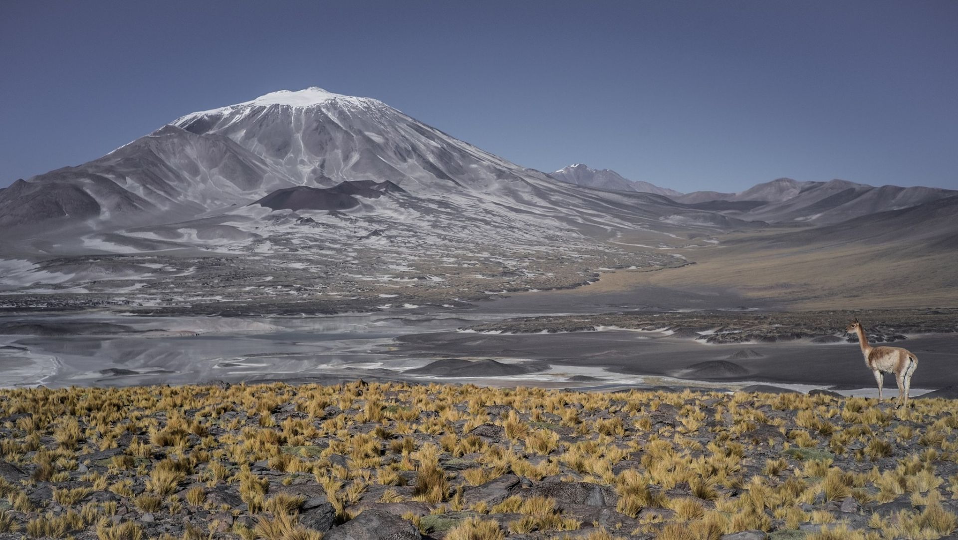
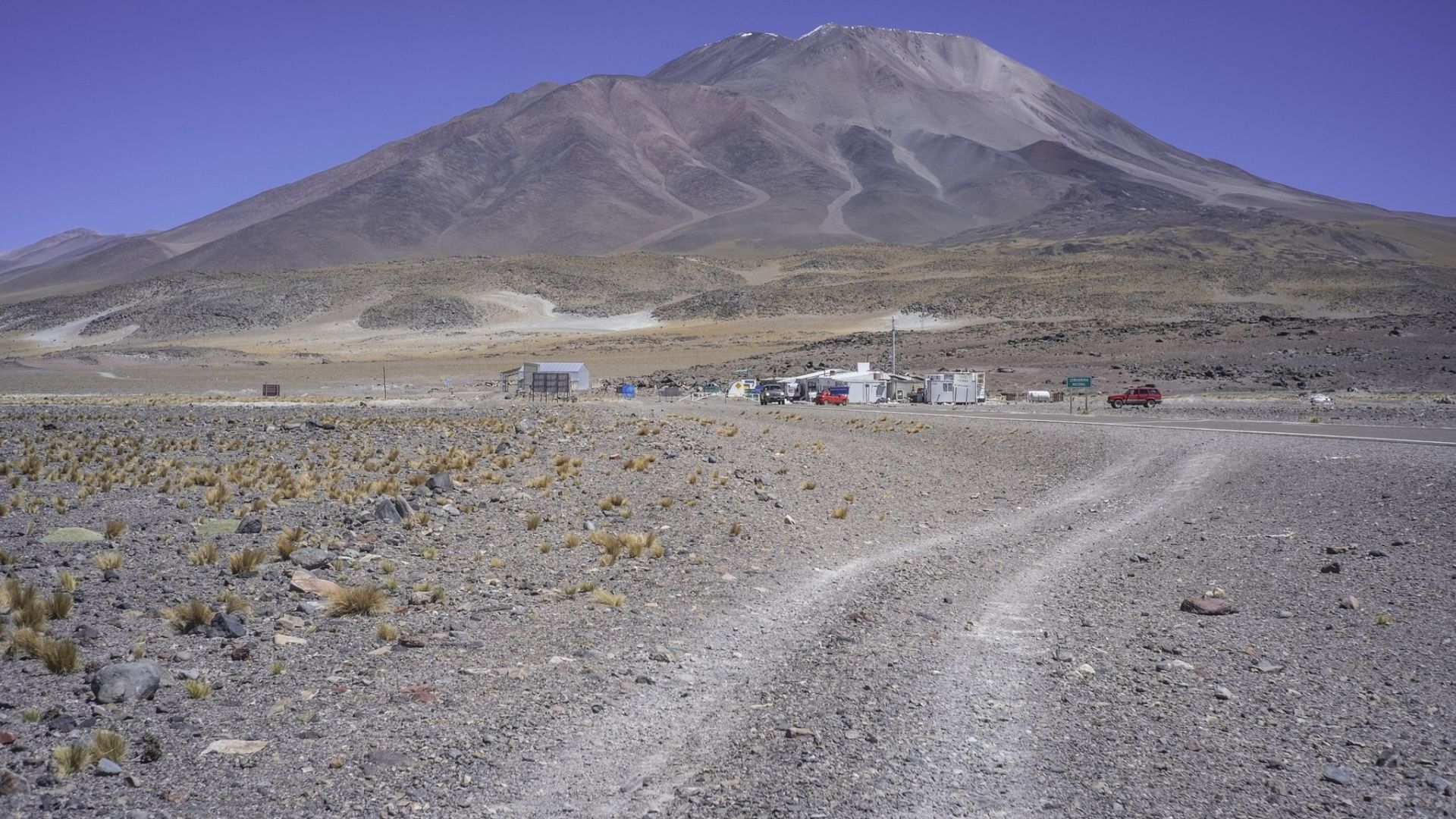
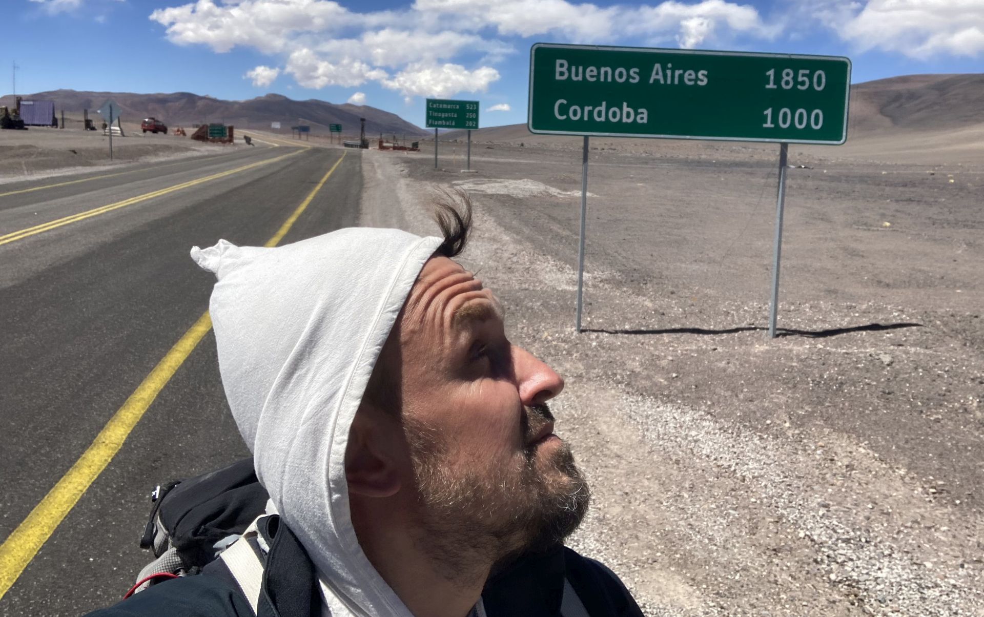
CATAMARCA: PASO DE SAN FRANCISCO
- 26°52′35″S 68°18′05″O; 4726m n.p.m.
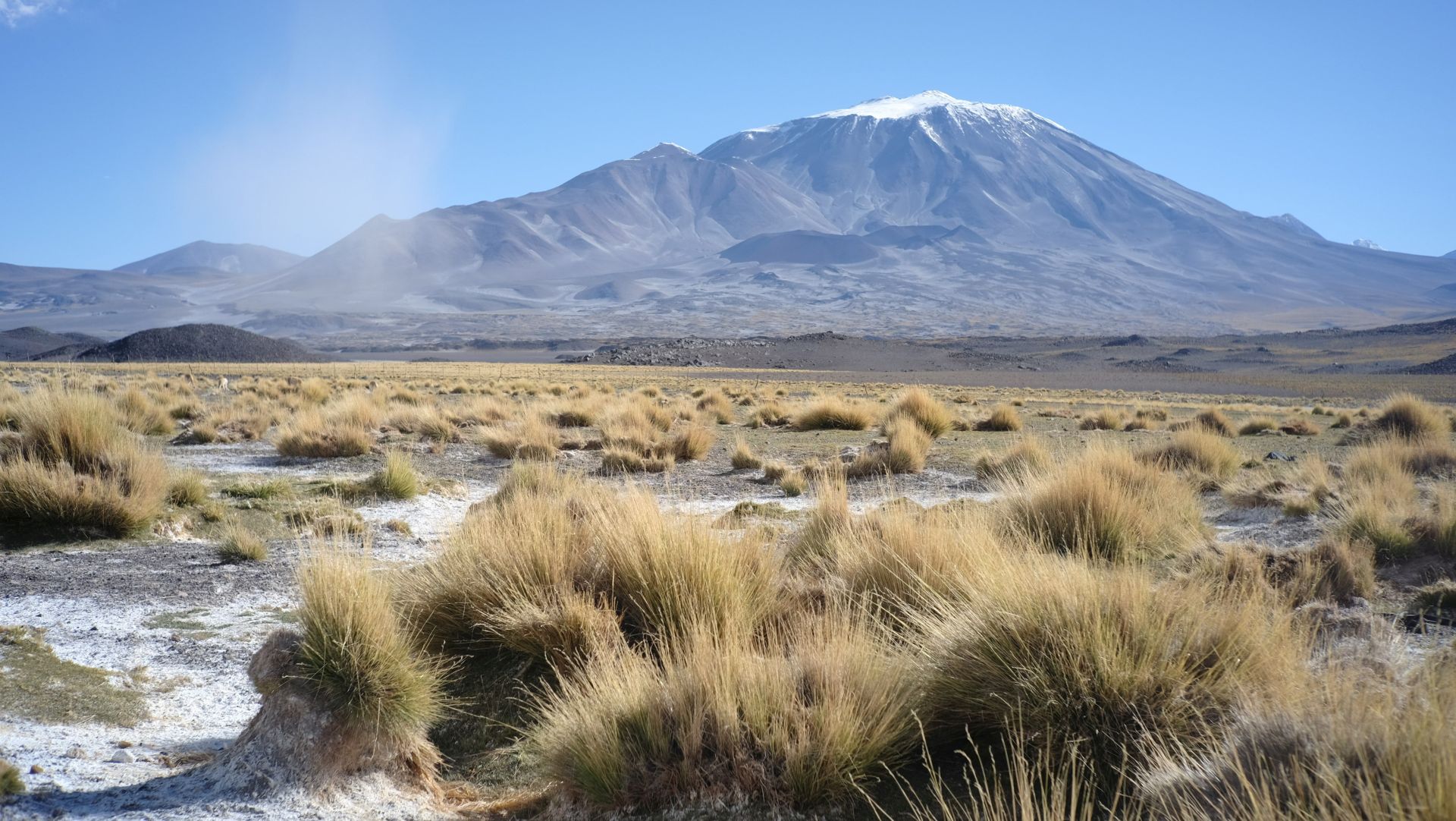
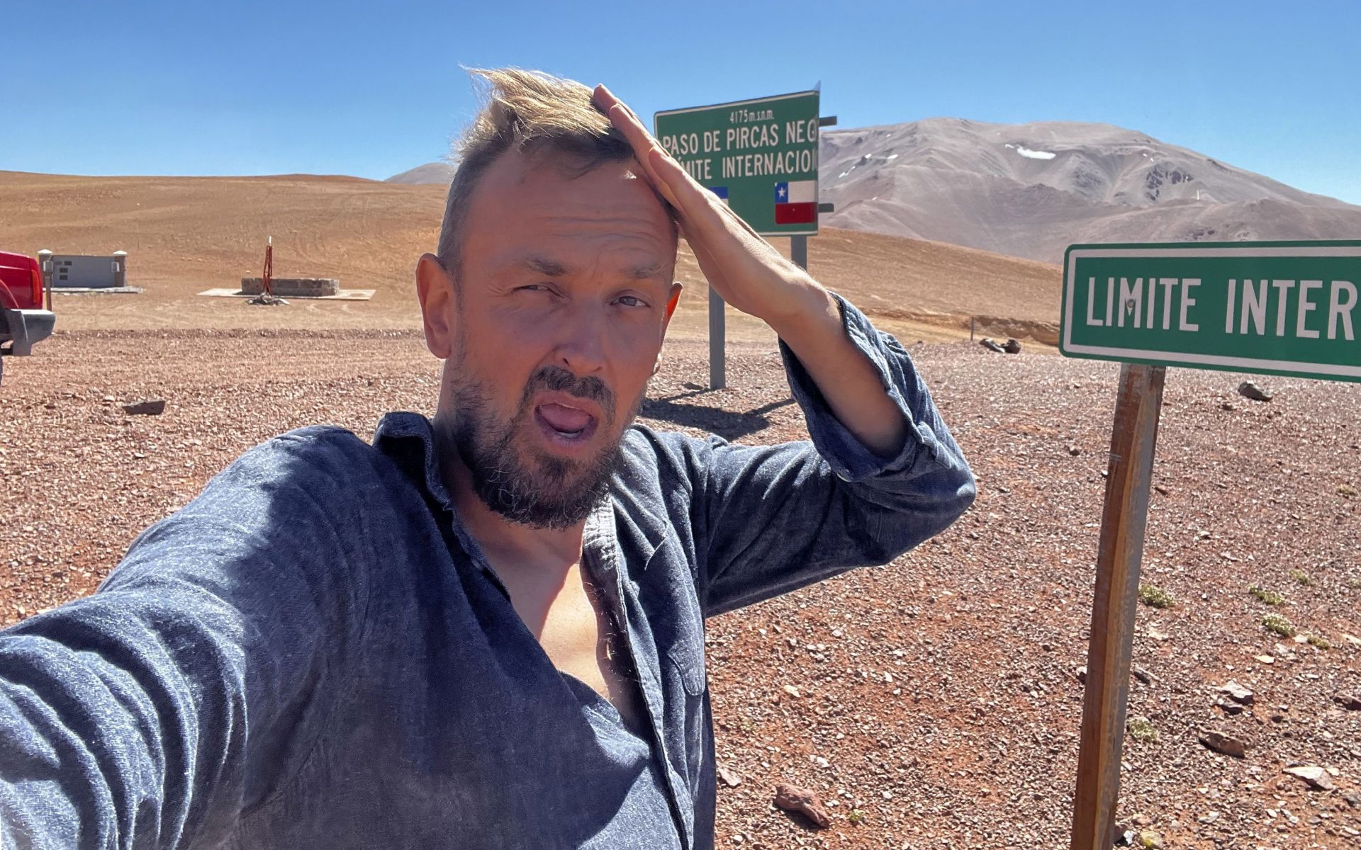
LA RIOJA: PASO PIRCAS NEGRAS
- 28°04′00″S; 69°18′00″O; 4164m n.p.m.
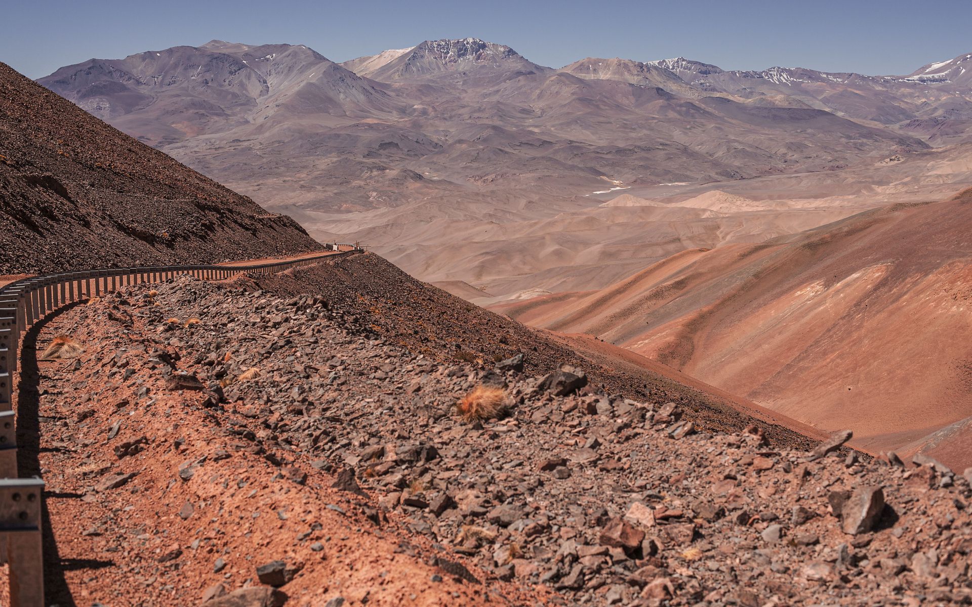
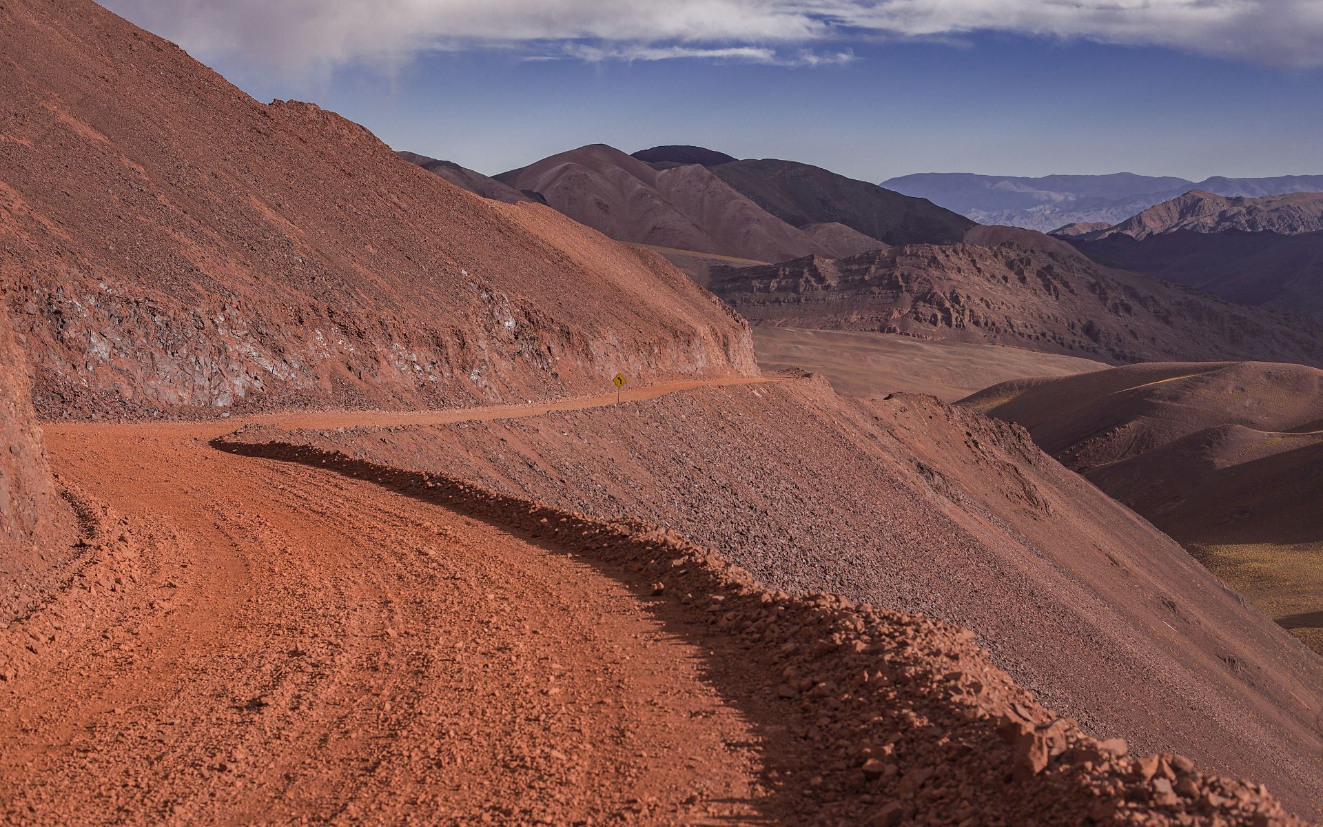
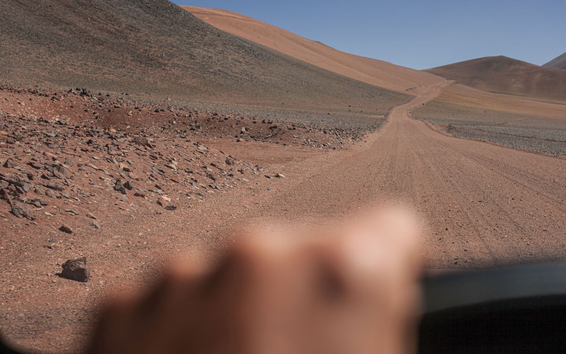
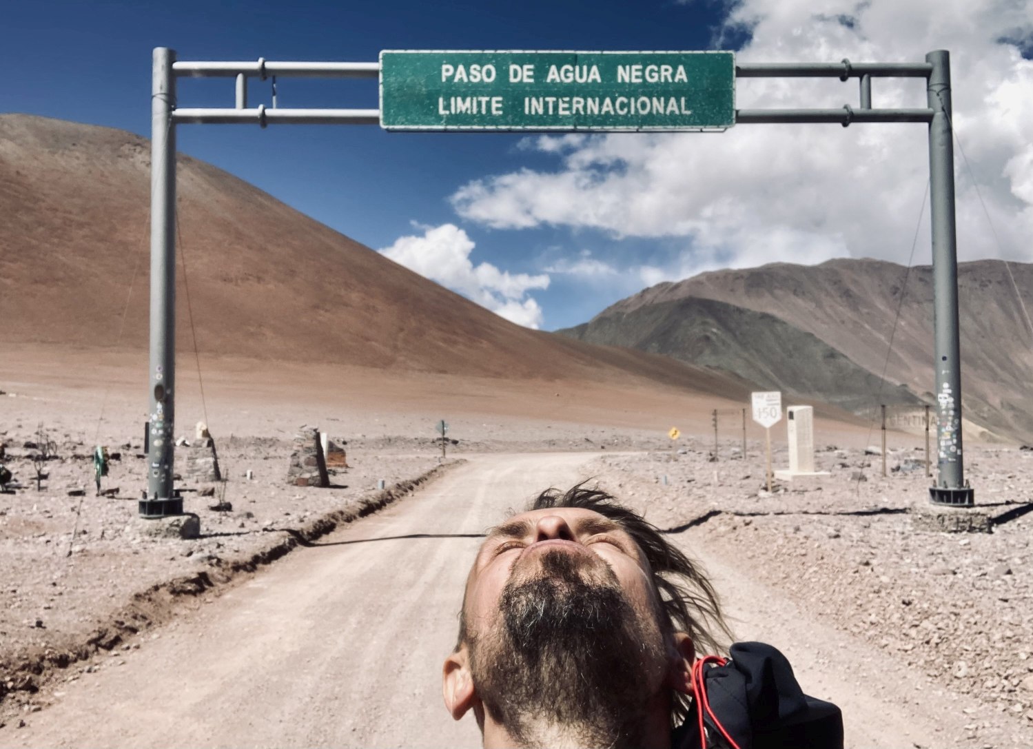
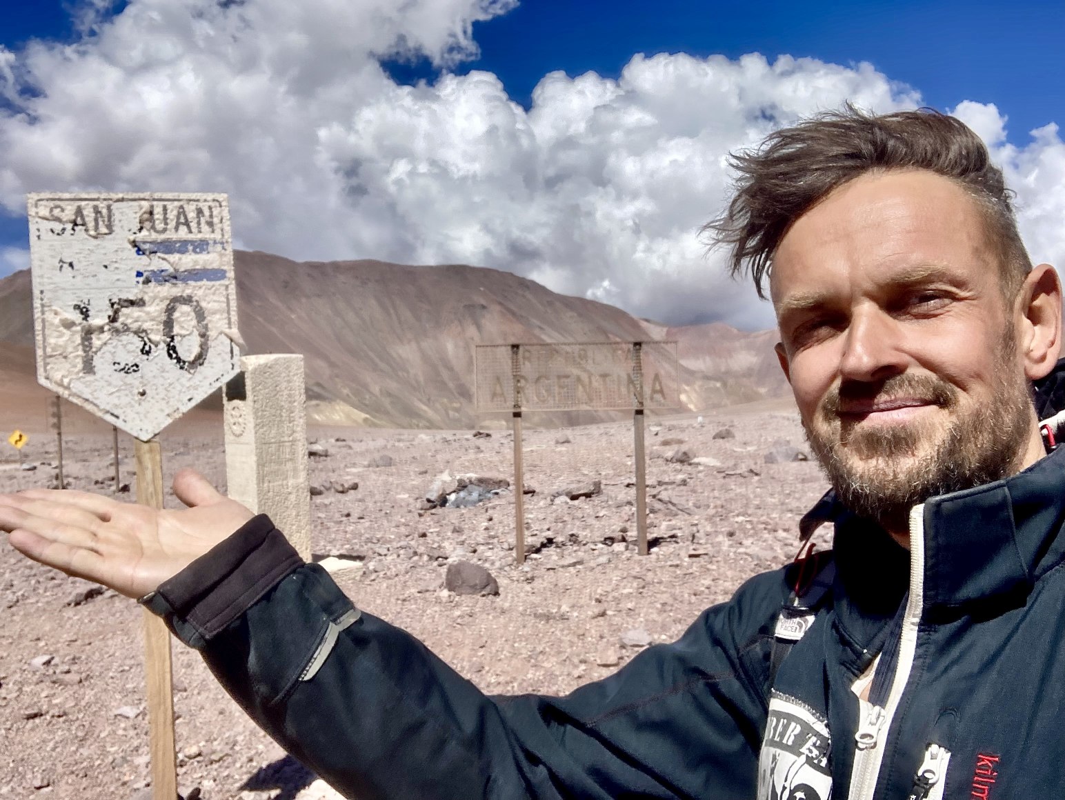
SAN JUAN: PASO DE AQUA NEGRA
- 30°11′32″S; 69°49′06″O; 4780m n.p.m.
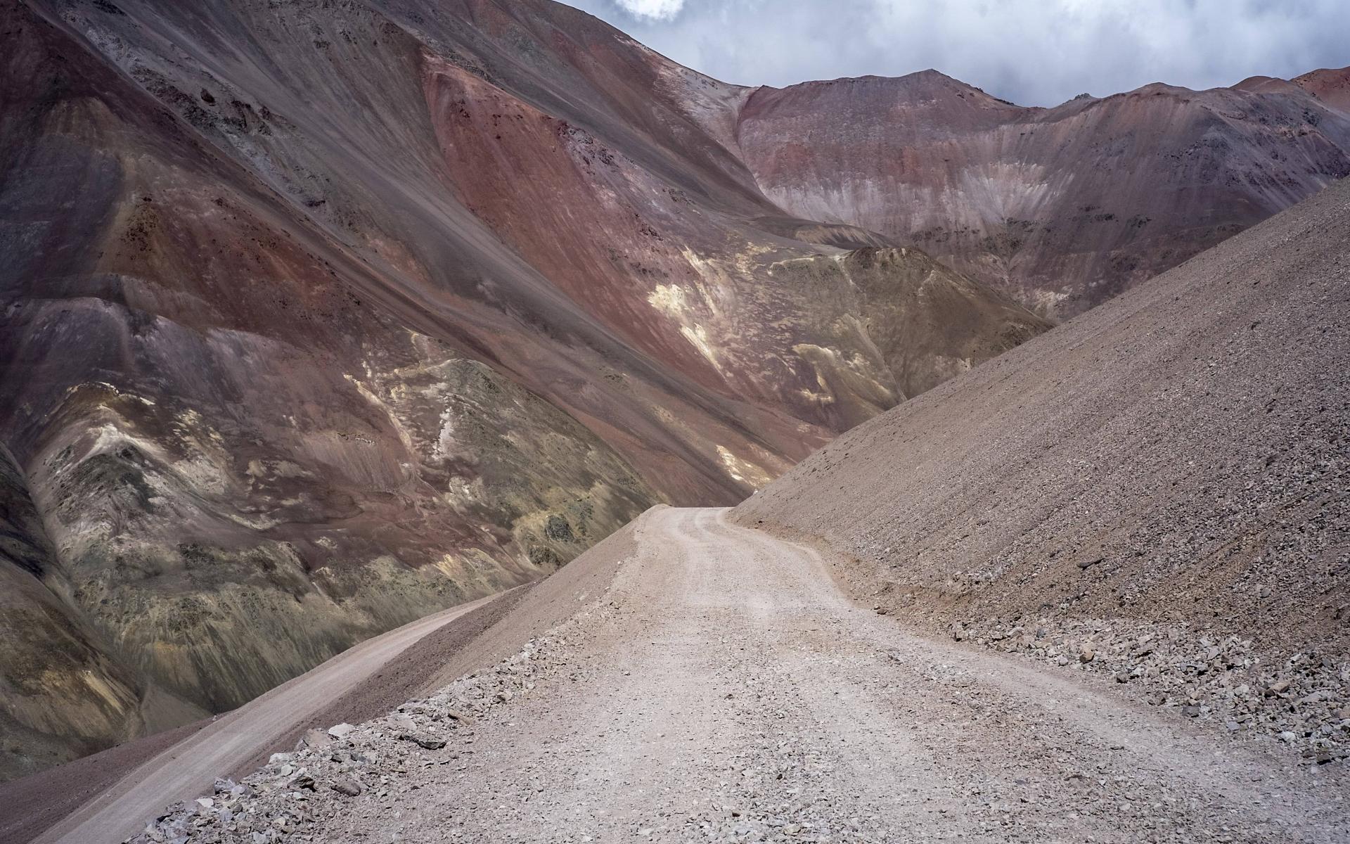
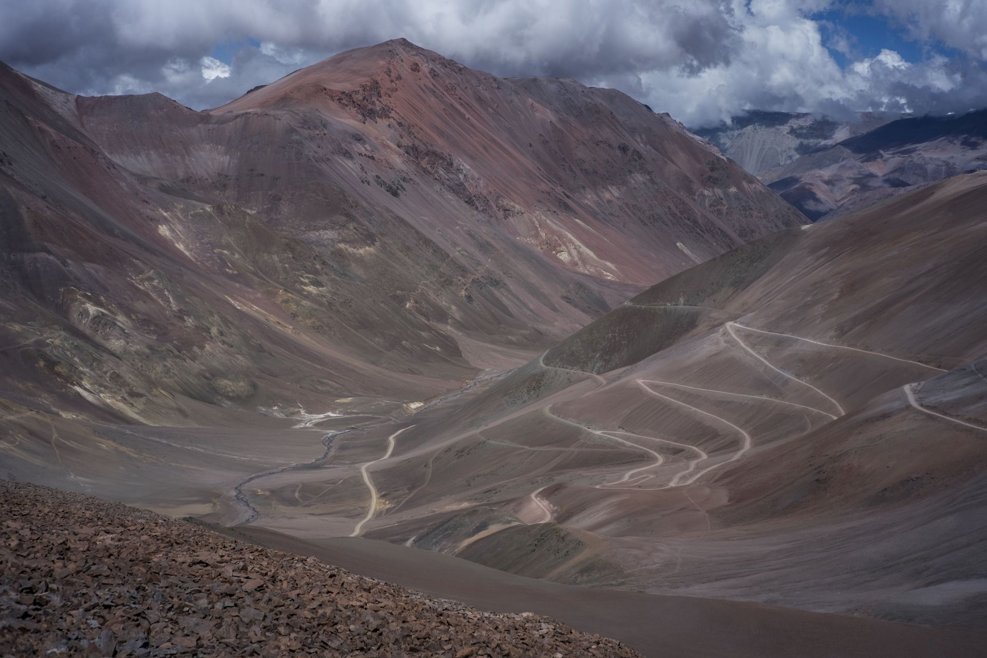
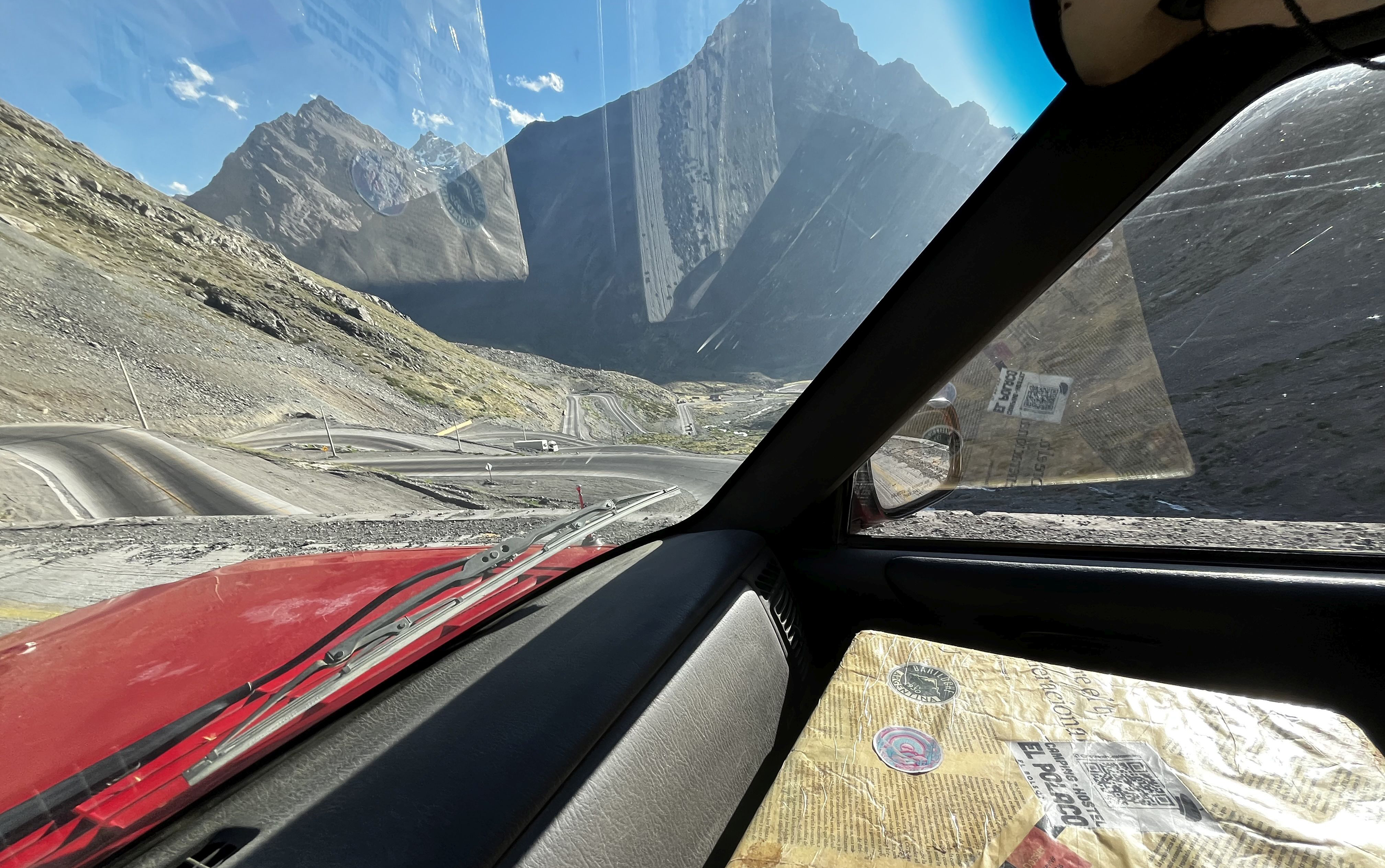
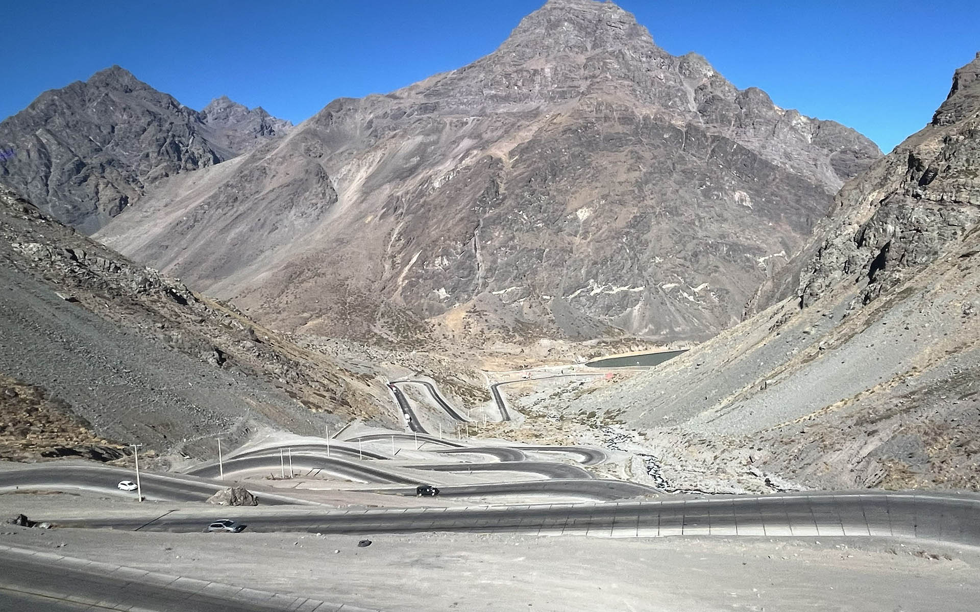
MENDOZA: PASO LOS LIBERTADORES
- 32°49′38″S 70°05′32″O; 3209m n.p.m.
Full list of all Argentinian border crossings you can find here (wikipedia)
SERPENTINES • the best of
DESCRIPTION:
Here the choice is almost endless — whether in Argentina, from the Mendoza province in the central part of the country
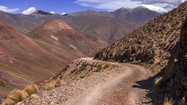
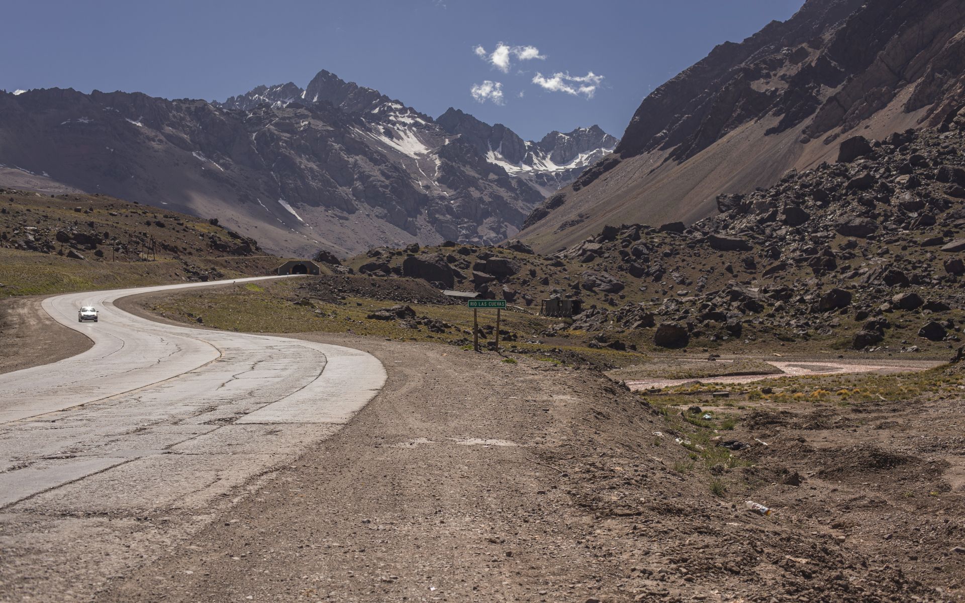
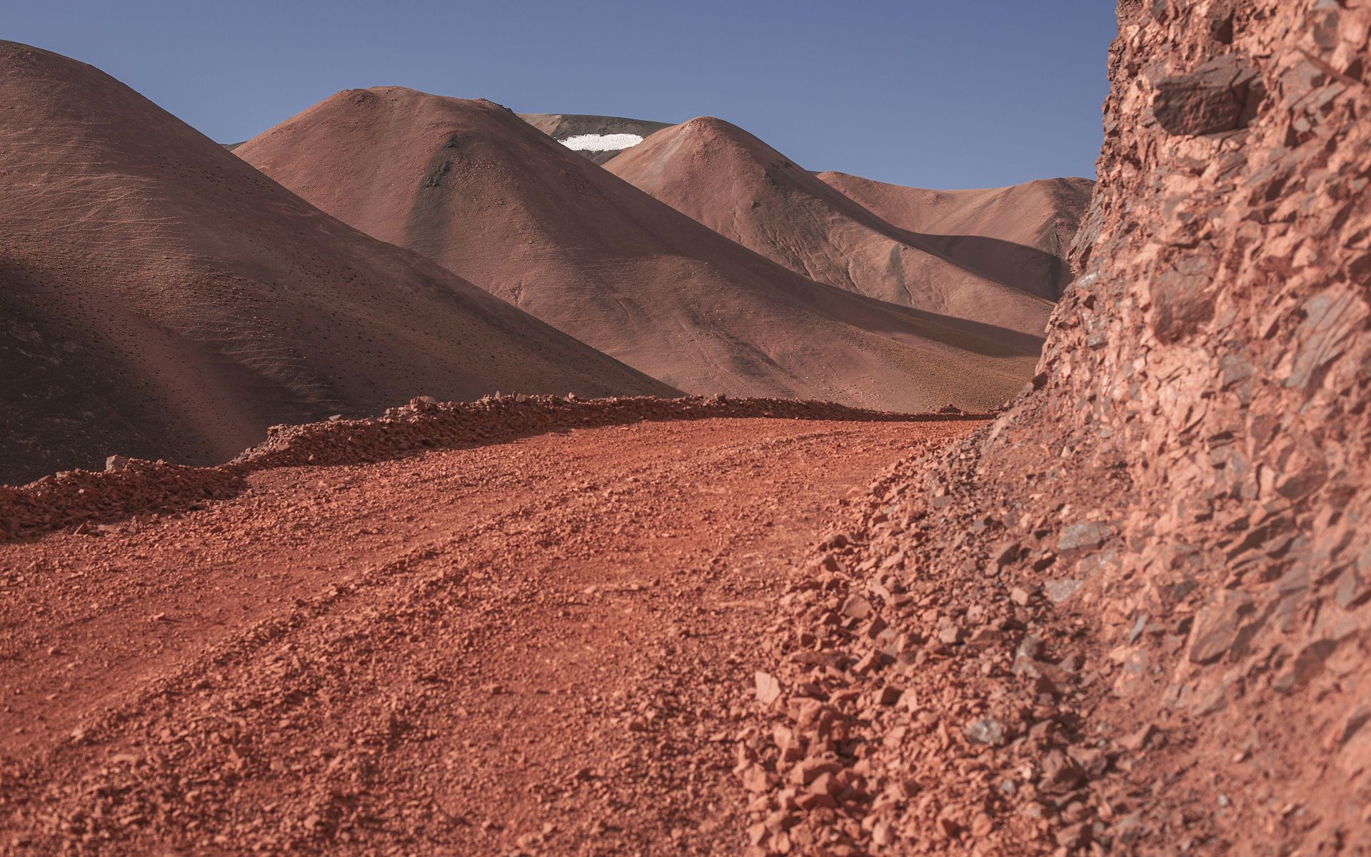
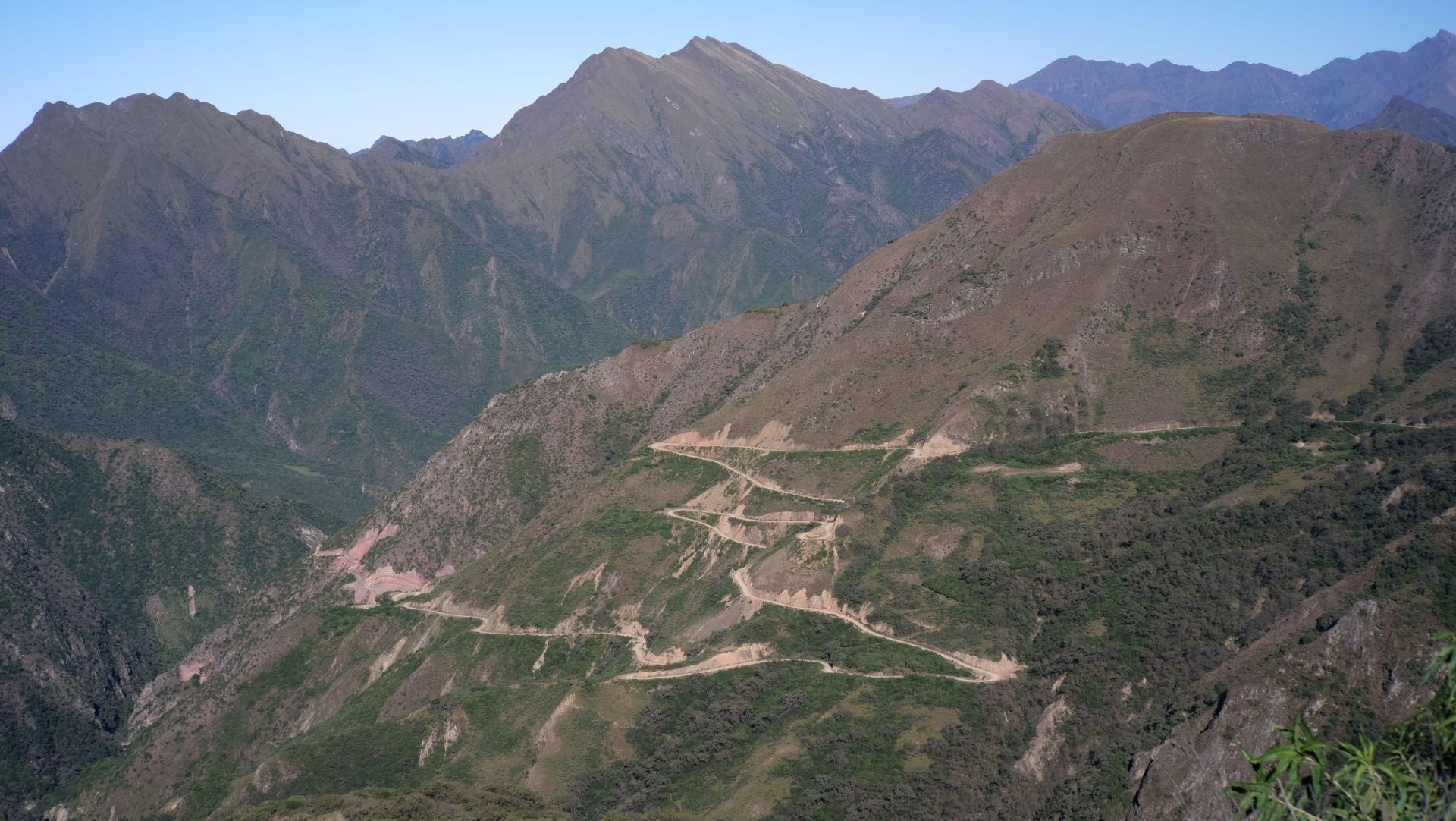
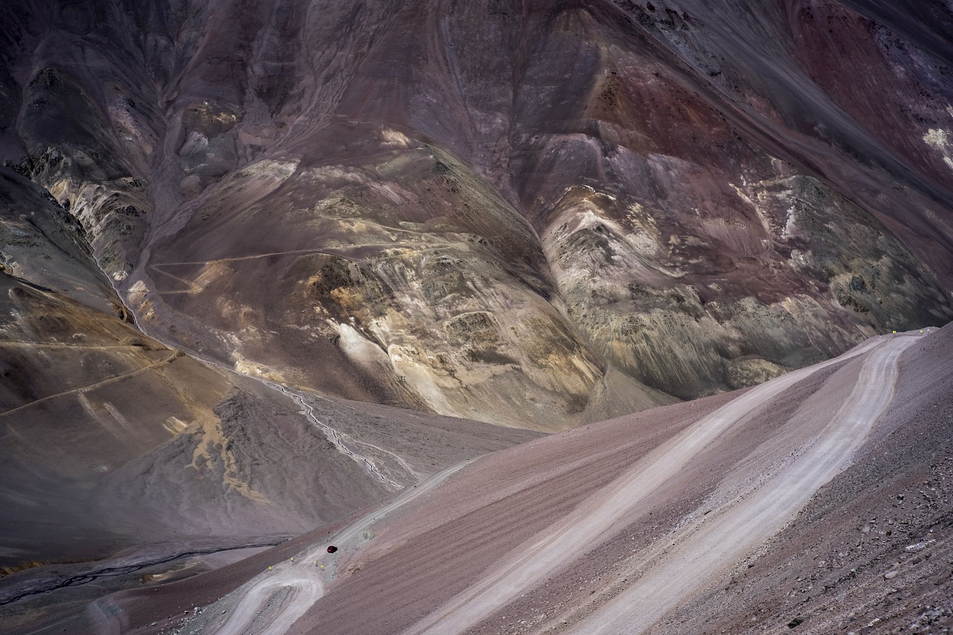
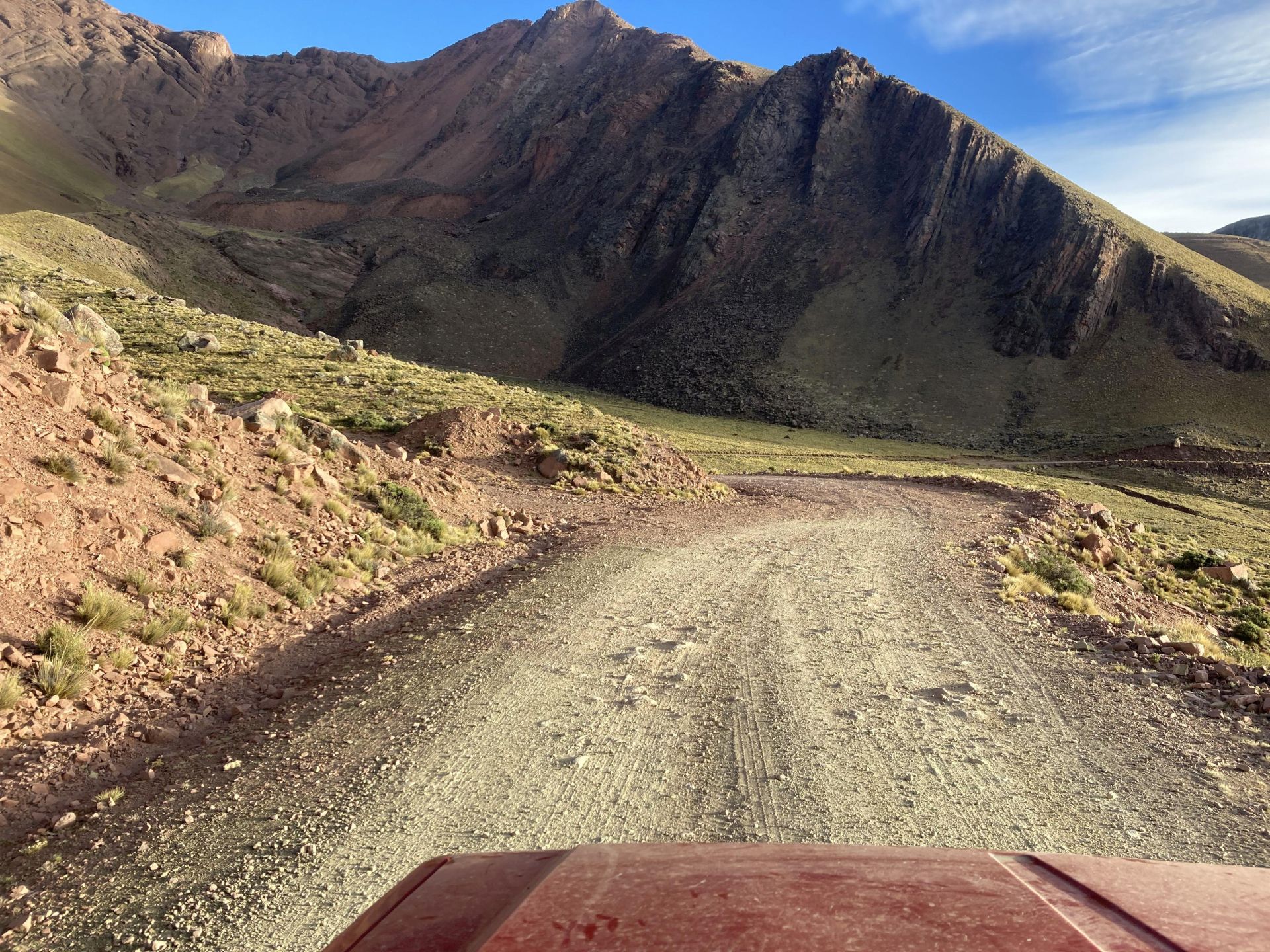
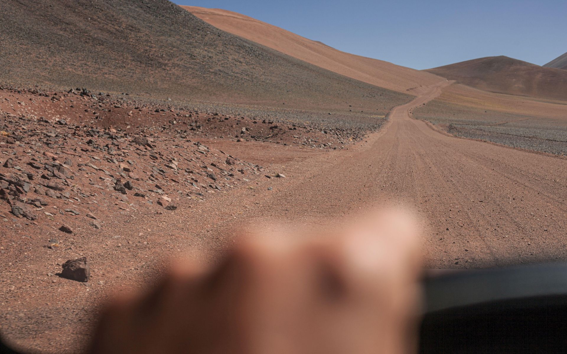
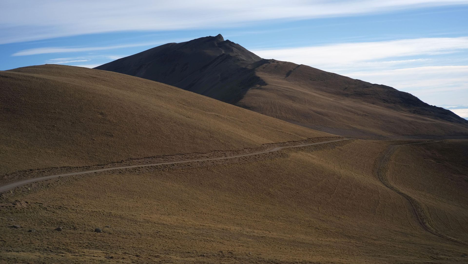
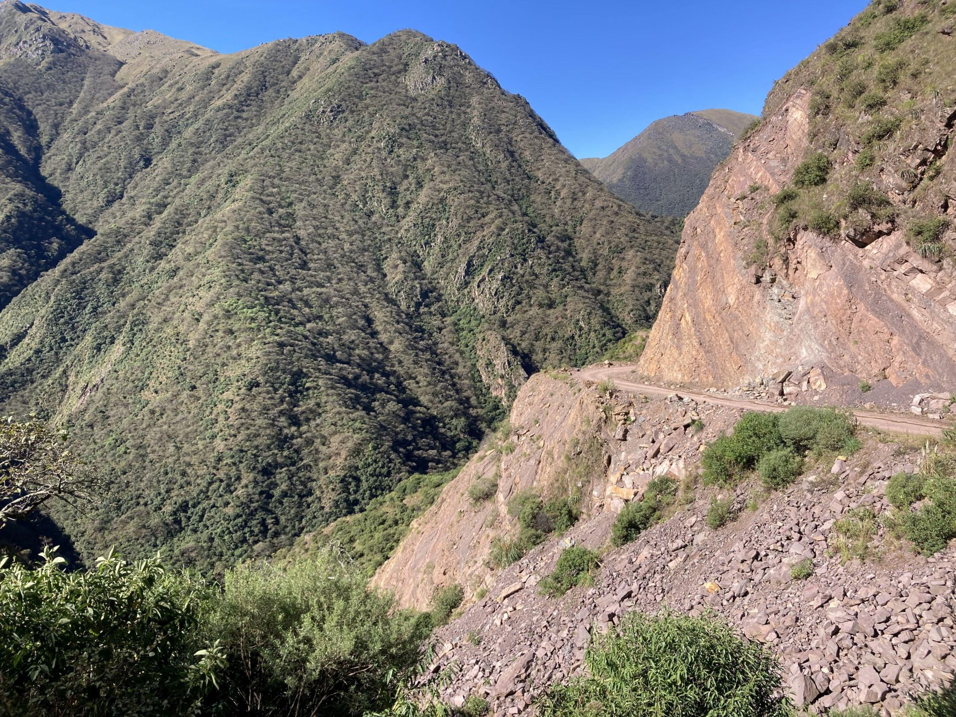
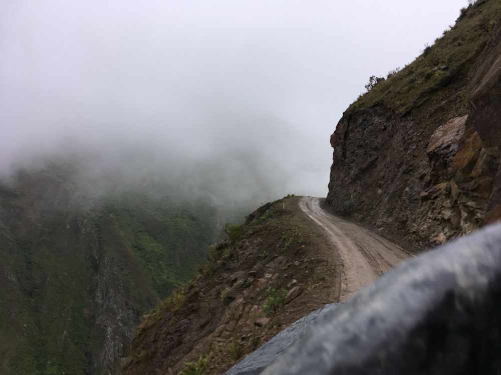
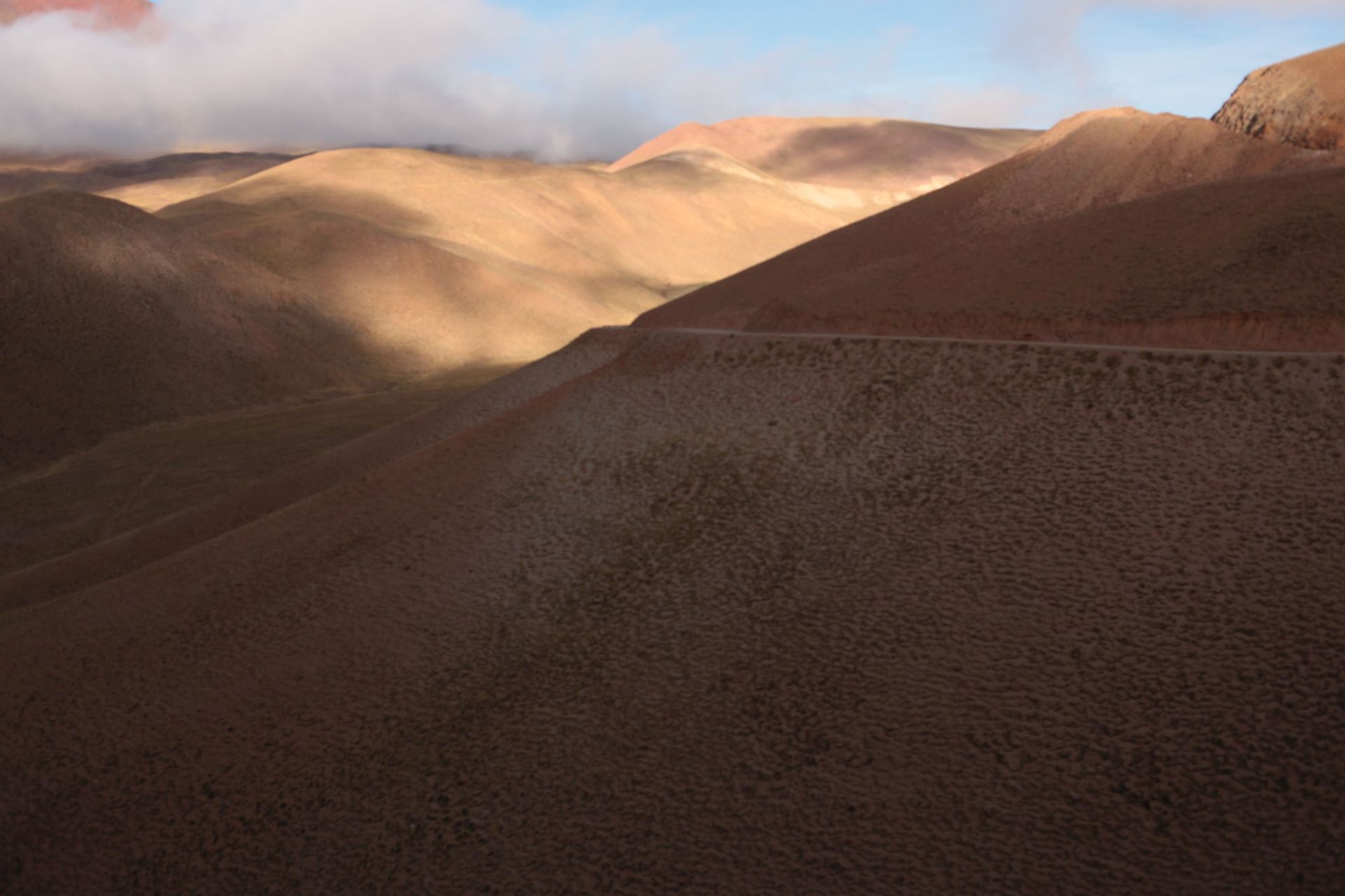
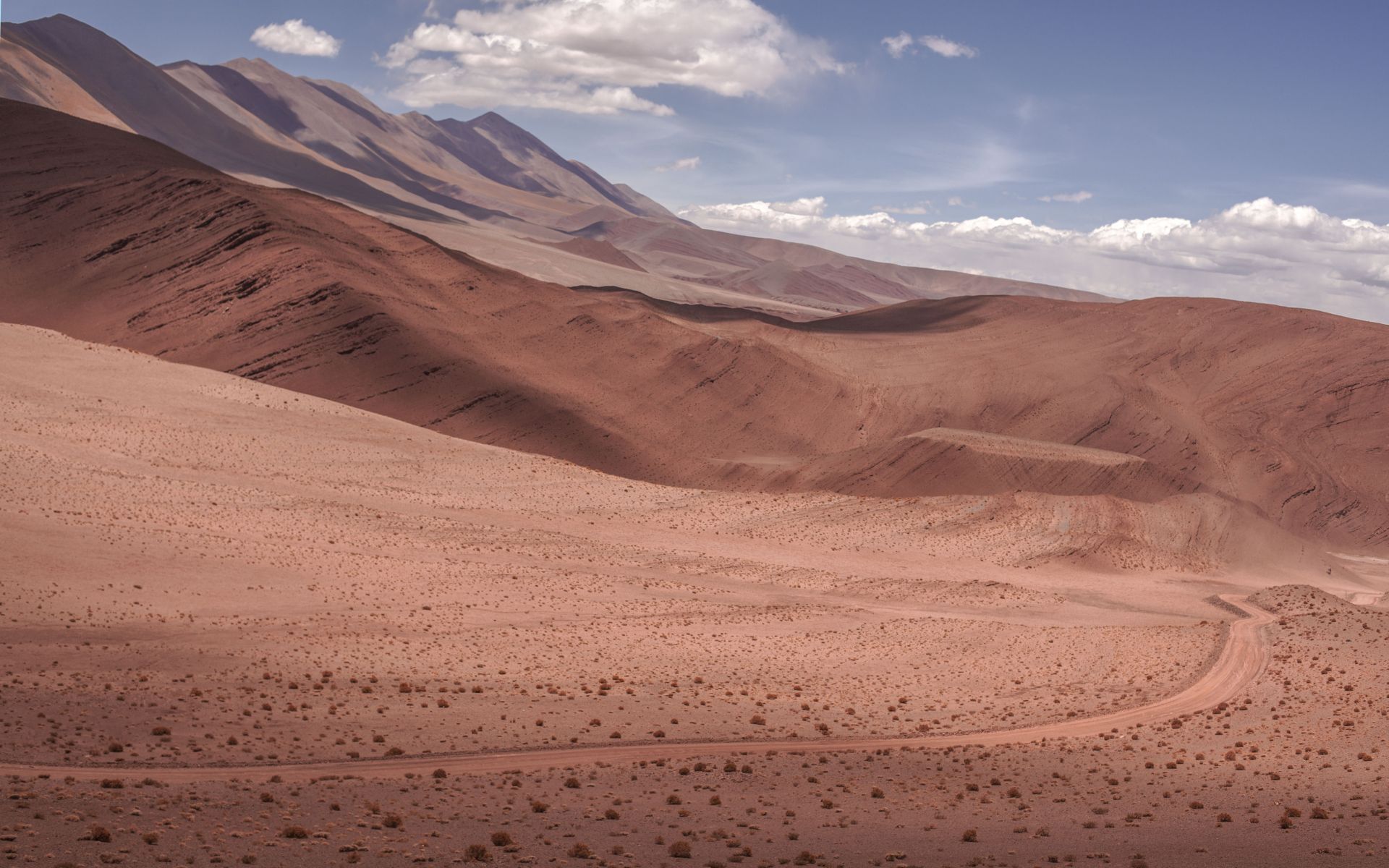
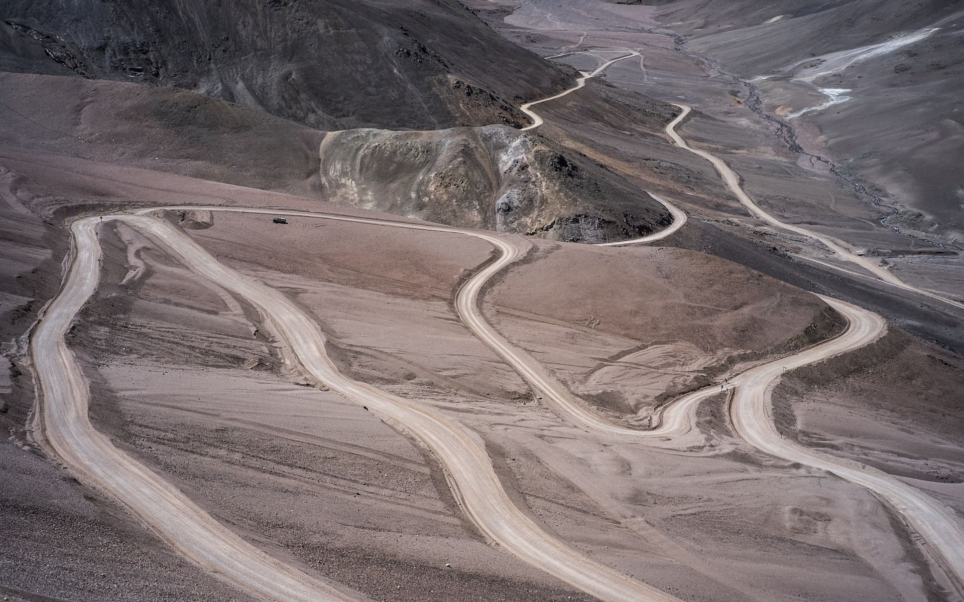
up to Jujuy in the north, or in Bolivia, or Chile — everywhere you can find breathtaking, adrenaline-filled mountain serpentines. Since discovering them is in a sense my main hobby,
below is a vast, almost infinite archive of videos documenting drives through the most interesting Andean serpentines. Enjoy!
ROADS:
RN40, RN60, RN150... RP 6,33,56 SALTA RP 9,83,73 JUJUY
MY VIDEOS:
RUTA 40, Salta • ABRA DEL ACAY 4895m
RUTA PROVINCIAL 33, Salta • LOS CARDONES NATIONAL PARK
RUTA PROVINCIAL 56, Salta • CALCHAQUÍ VALLEYS
ANDES SERPENTINES • Salta / Catamarca
RUTA NACIONAL 60, Catamarca • ROAD OF THE SIX-THOUSANDERS (Ruta de los Seismiles)
RUTA PROVINCIAL 6, Salta
RUTA PROVINCIAL 14, Jujuy
RUTA PROVINCIAL 402, San Juan • CORDILLERA DE LA RAMADA
BOLIVIA • POTOSÍ
NORTHERN CHILE
MY PHOTOS GALLERY:
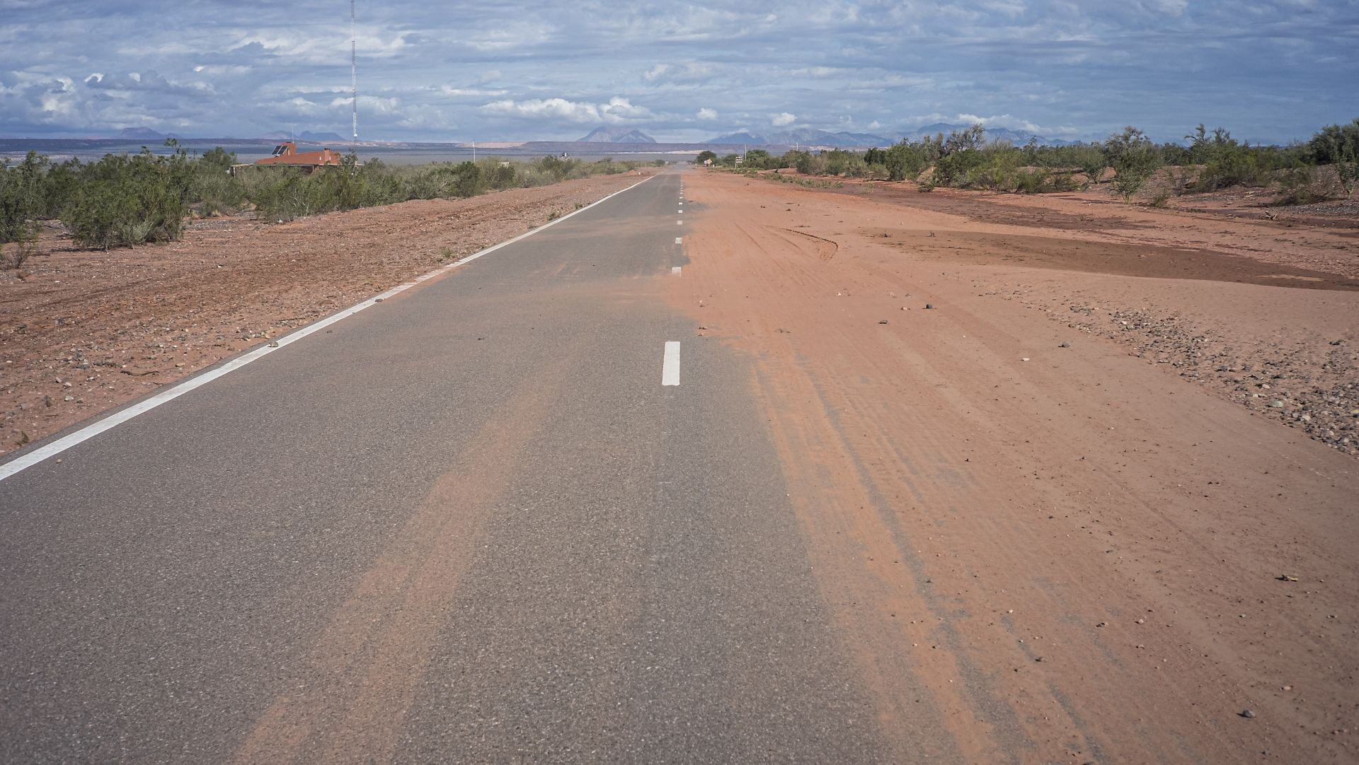
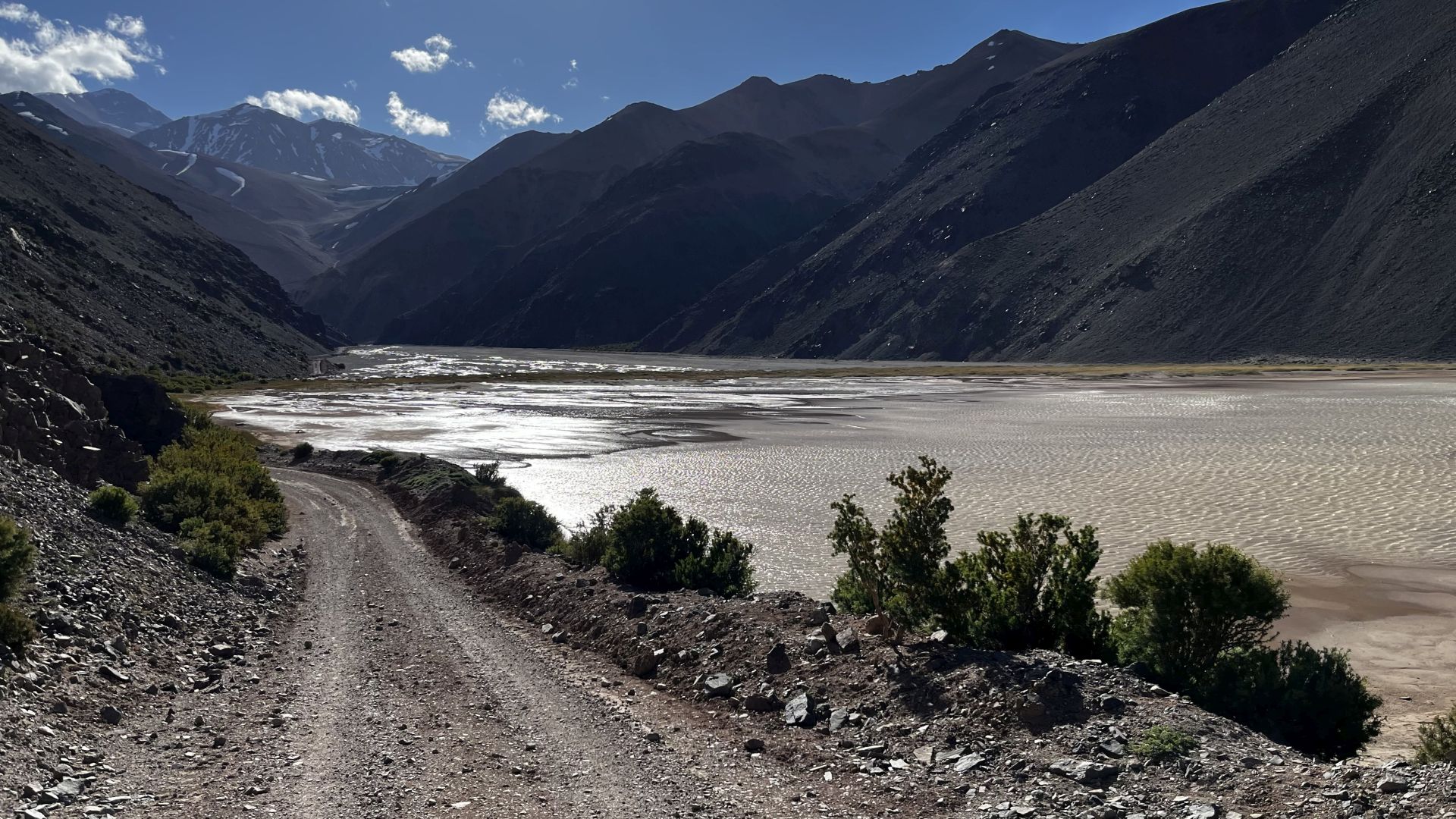
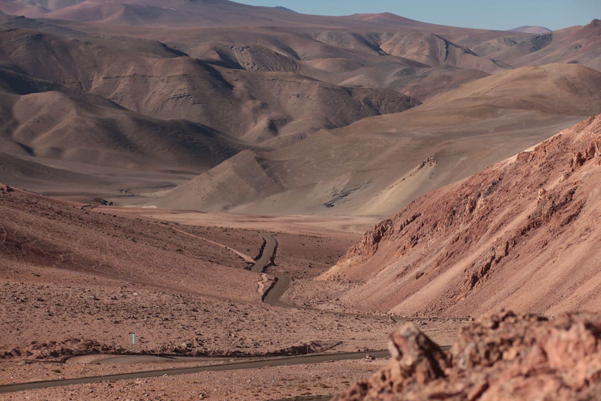
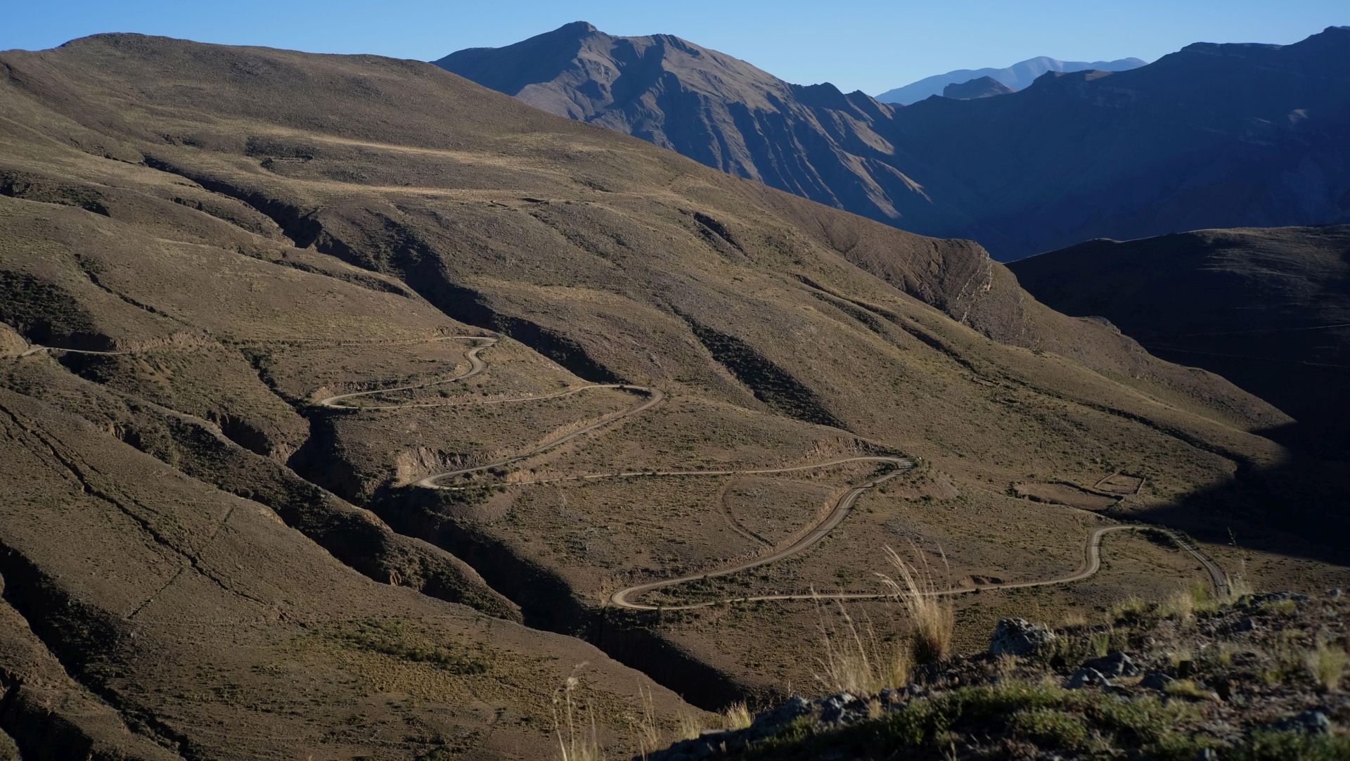
ACONCAGUA • Mendoza Province
DESCRIPTION:
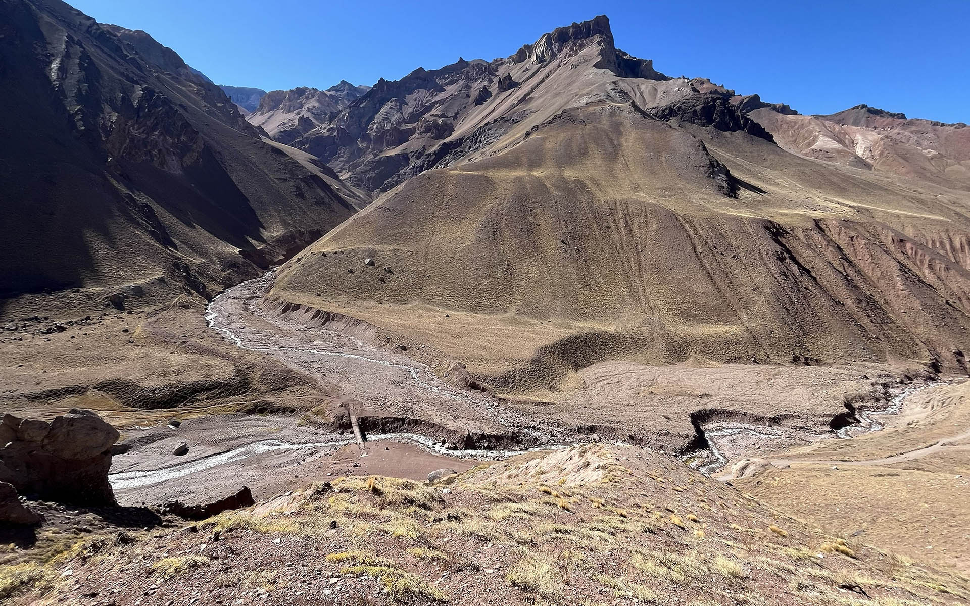
The problem I have with Aconcagua is a bit broader, so I’ll outline it here while talking about this “highest” (oh really…) peak in the Americas.
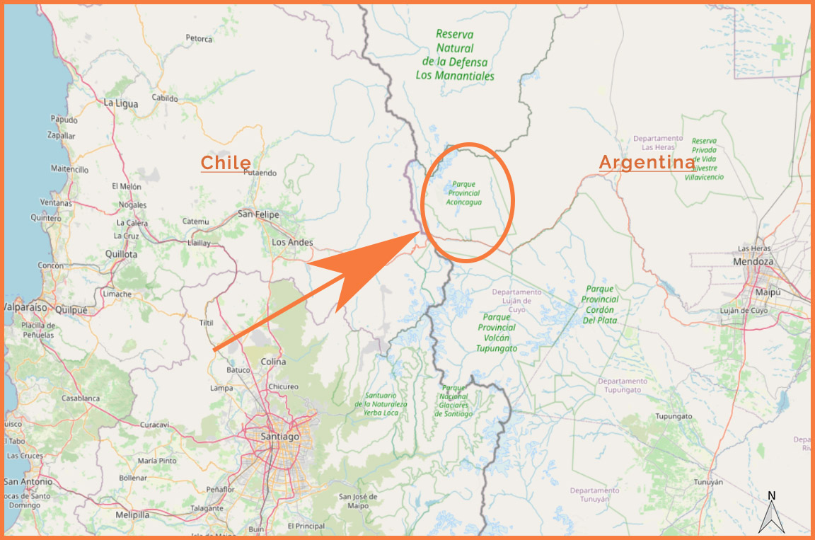
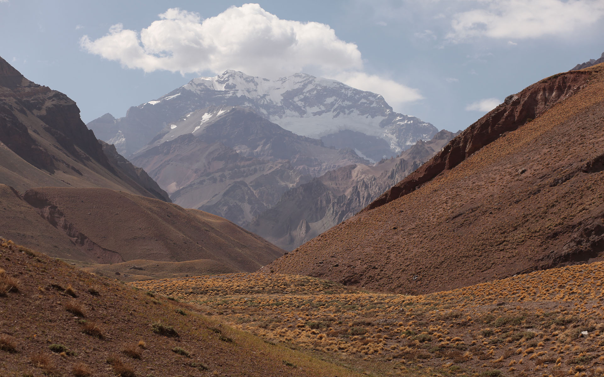
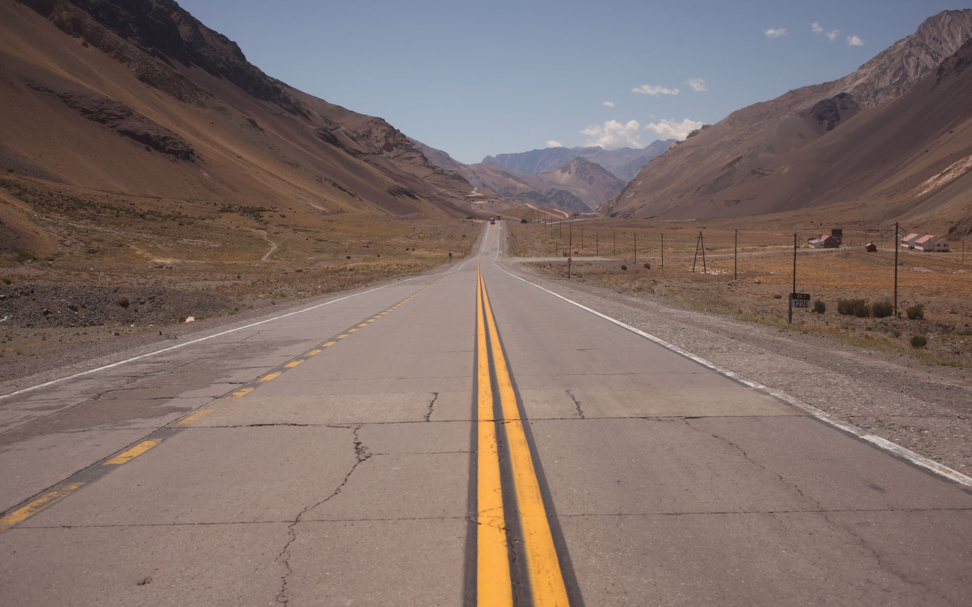
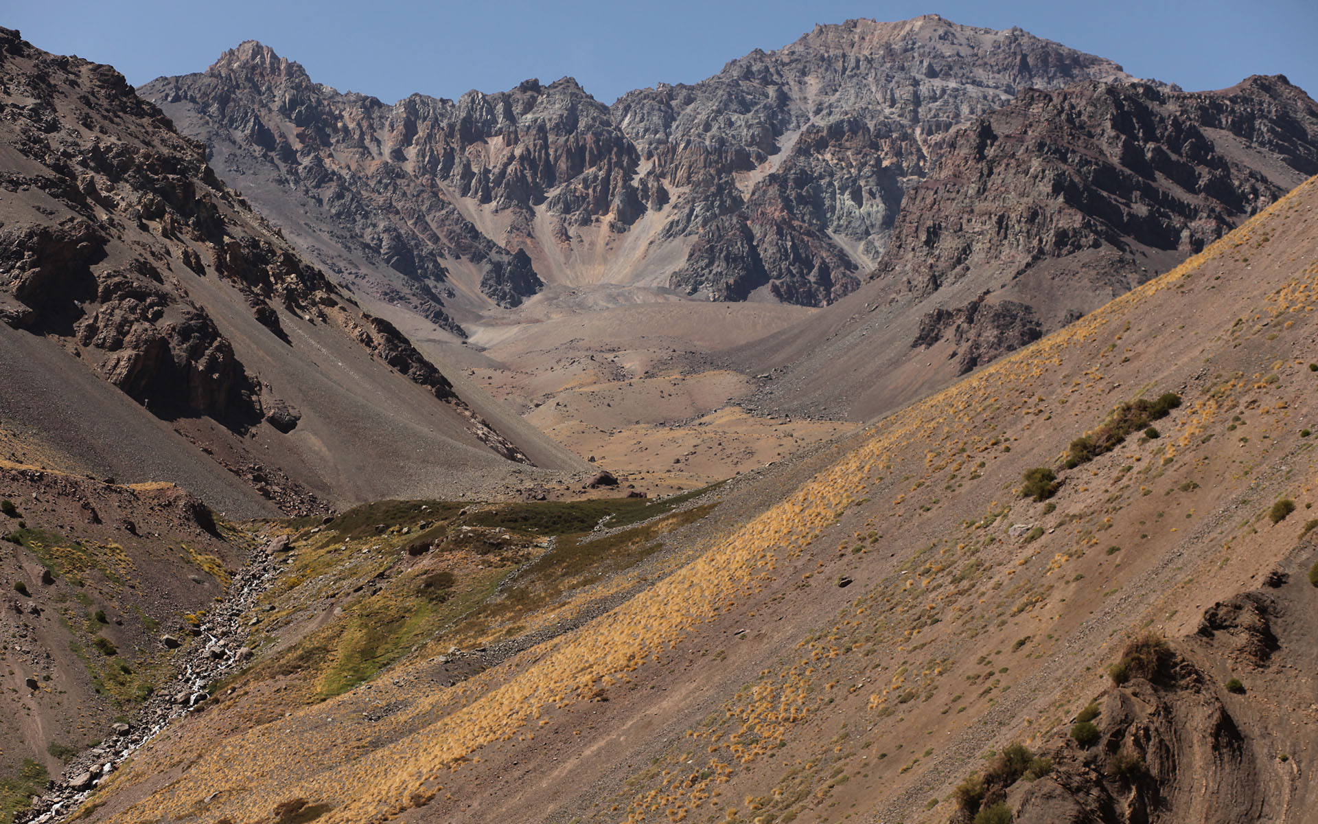
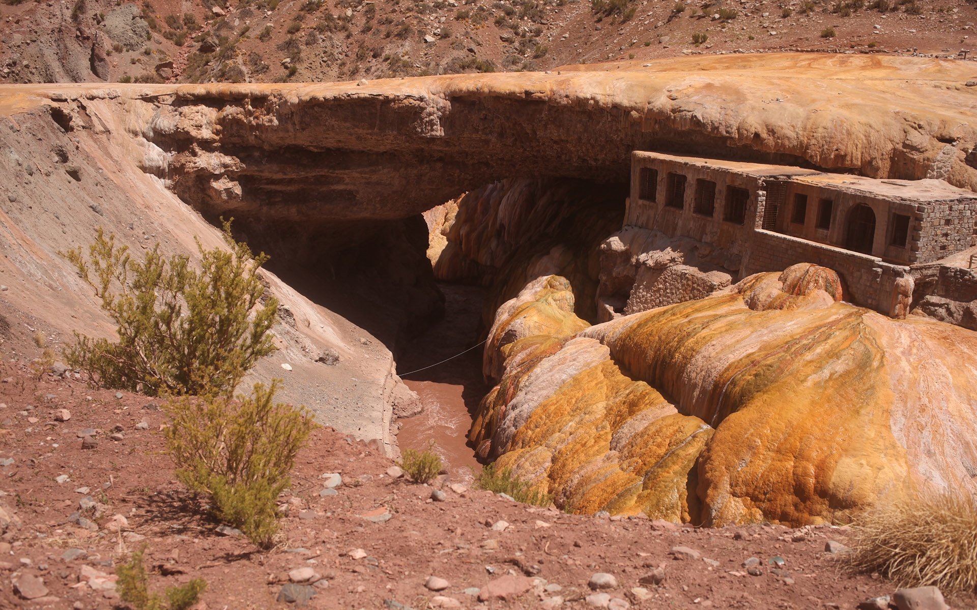
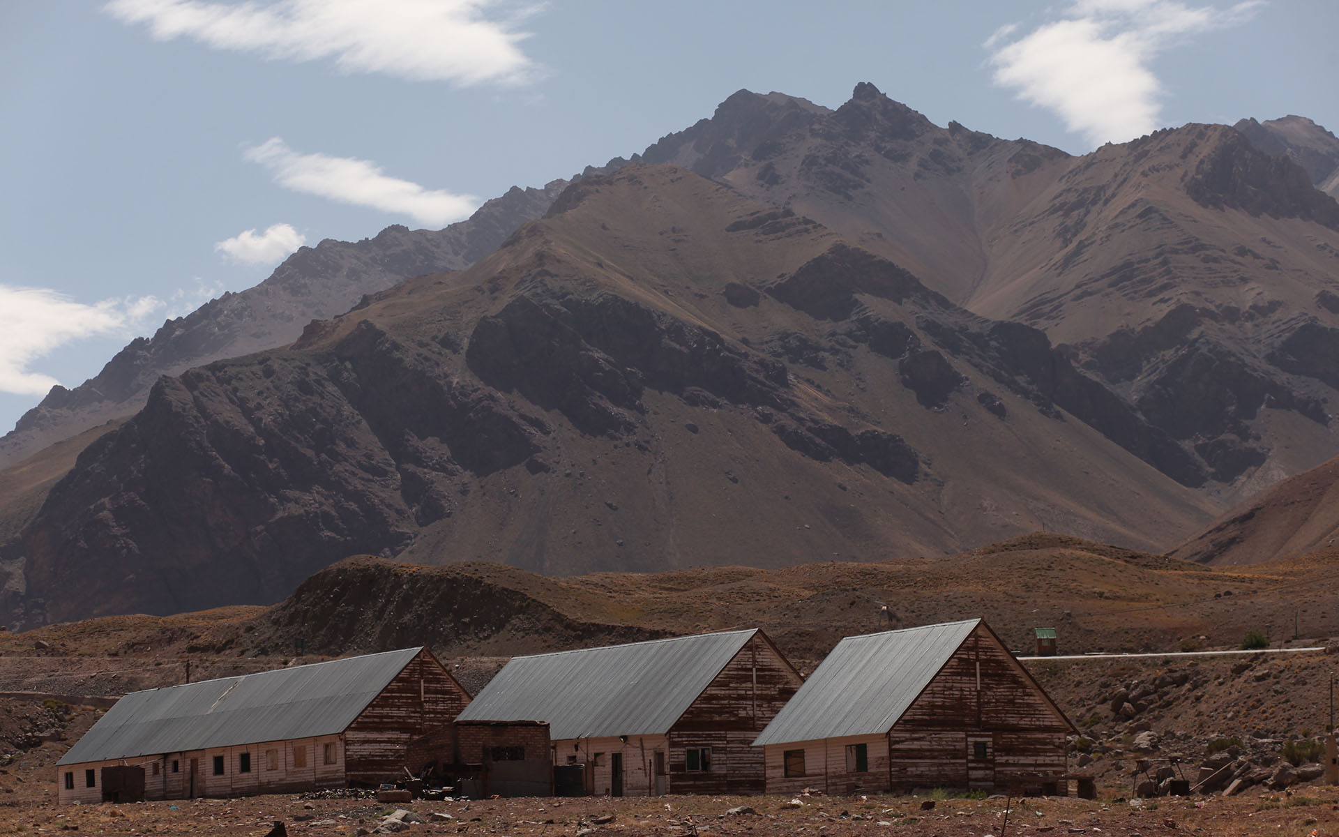
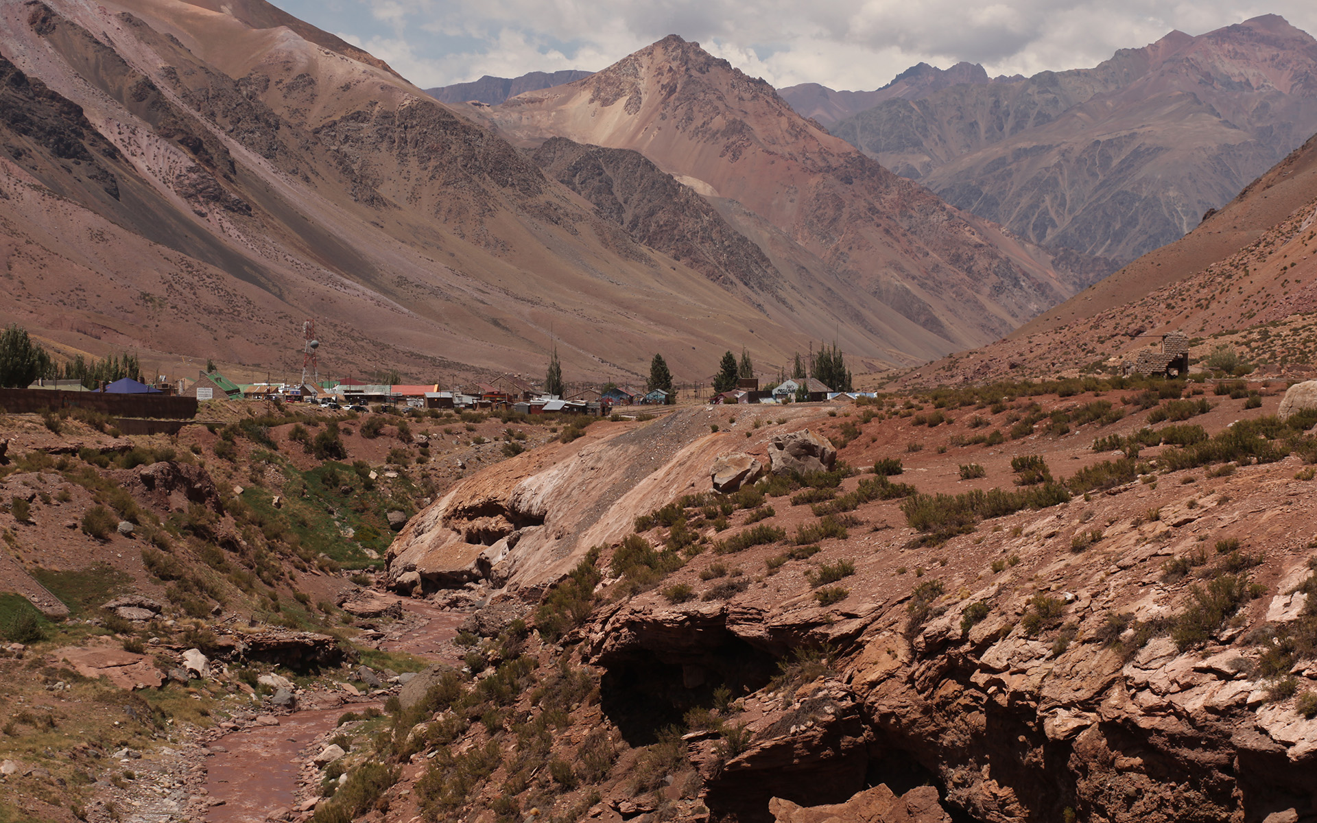
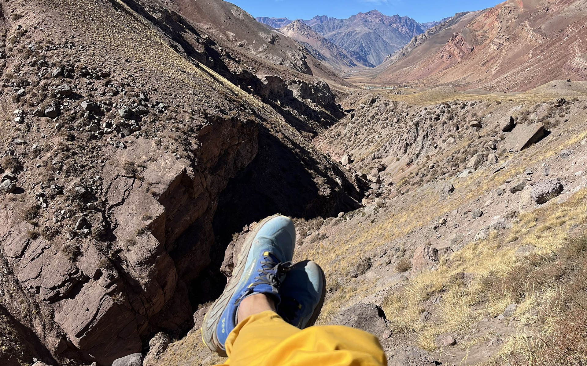
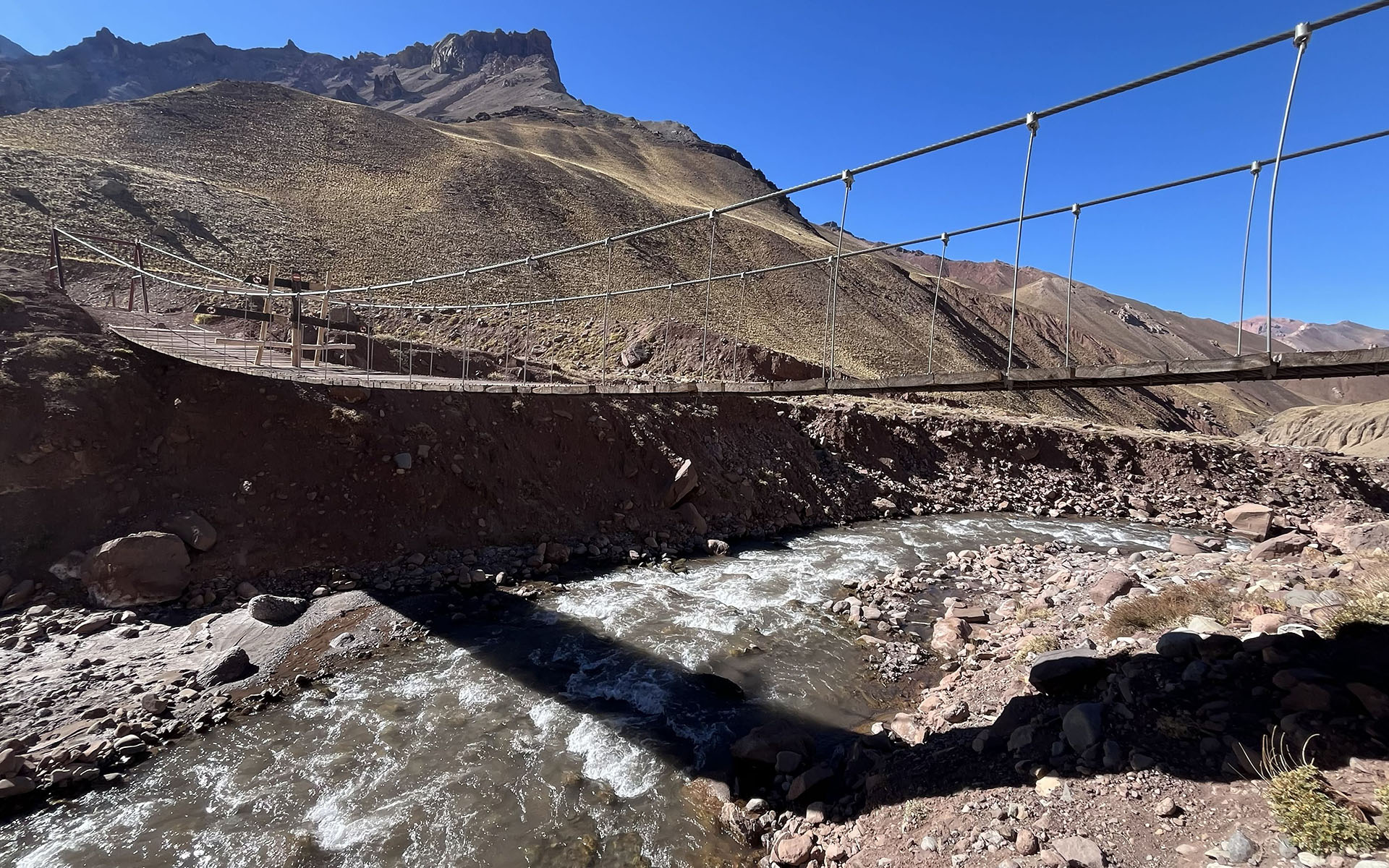
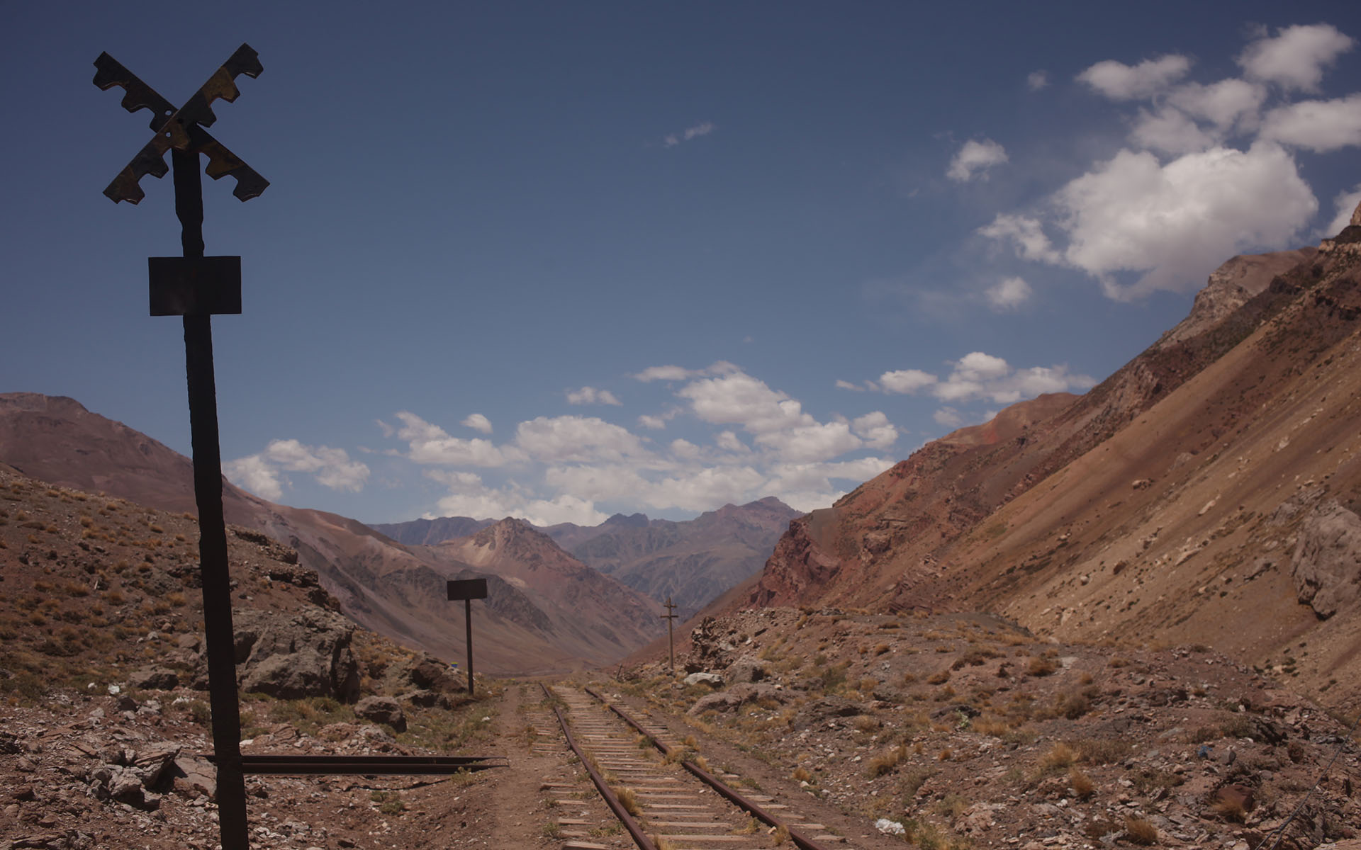
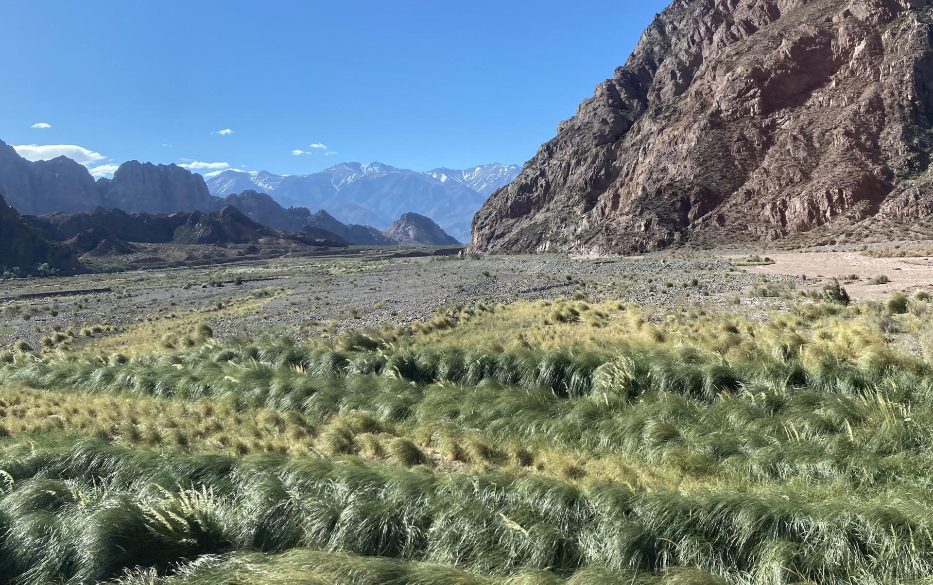
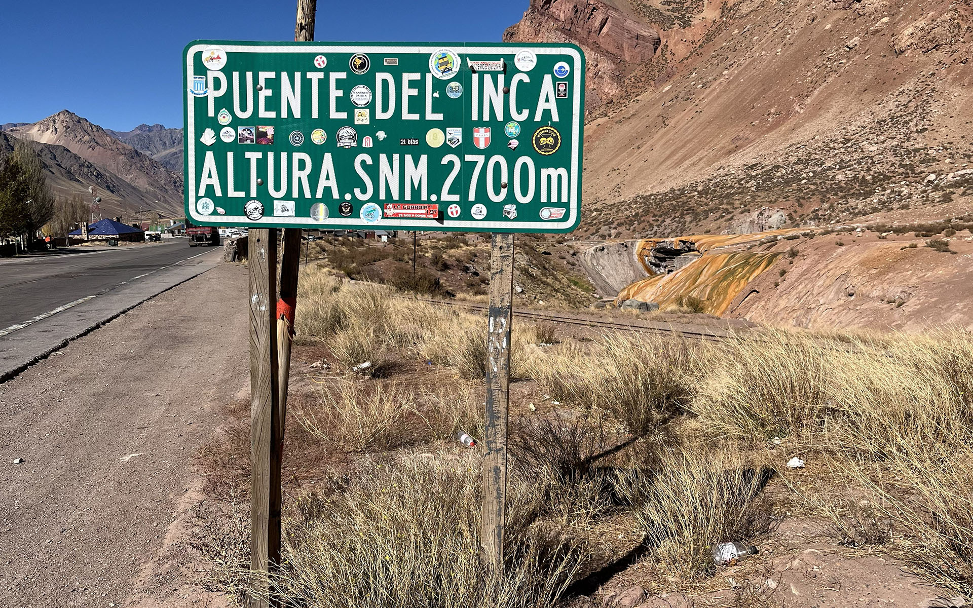
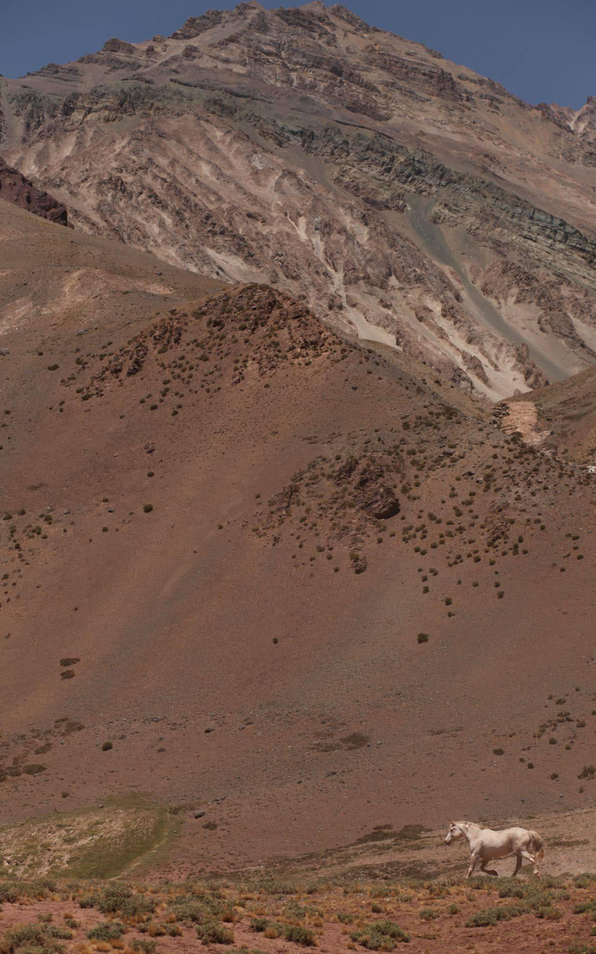
Aconcagua is a high but still a six-thousander (6961 m a.s.l.), relatively easy to access, since the Parque Provincial Aconcagua—whose summit it is—lies right next to the main road RN7 connecting Santiago de Chile with Mendoza in Argentina.
Without a doubt, it’s a spectacular, majestic place, but because it is the HIGHEST peak, the whole area kind of overheats with a different kind of energy compared to the rest of the Andes.
Aconcagua suffers from its own “highestness” ;)
Symptoms of this condition could be called full europeanization: fees (not symbolic at all), permits, rules, restrictions, crowds of foreigners making money, doing business, and climbers driven by that very motivation—let’s call it a North American ambition of “I am the best, the greatest, I conquered the highest peak.”
It’s almost surprising that the embodiment of such drive, Donald Trump himself, was never carried up Aconcagua.
The energy that many of these ambitious climbers bring has little in common with the South American atmosphere—its lightness, freedom, looseness, ambiguity, flexibility, and ease, which are exactly why I live here.
The whole movement, fortunately, is still far from the absurd Everest-style cliché*, but this foreign mentality seems to spill around Aconcagua, in a sense “polluting” the local atmosphere.
The Chilean-Argentine border region is full of breathtaking six-thousanders where the spirit of mountains, freedom, space, and openness still dominates. The question I ask here is: is it worth dealing with this administrative–obsessive–ambition-driven mess just for a few extra meters of altitude compared to peaks that offer a completely different mental environment?
Or maybe it’s better to choose a slightly lower summit, but free from all this baggage—giving yourself a chance for a different kind of reflection, one that leads somewhere just above ;) the question posed here…
*This reminds me of a beautiful (at least in my interpretation, since I can’t know the true Sherpa motivations ;) story of Himalayan Sherpas who together climbed K2 in winter, showing all those divided, over-ambitious ego-driven teams something they probably will never understand.
LOCATION:
MY PHOTOS GALLERY:
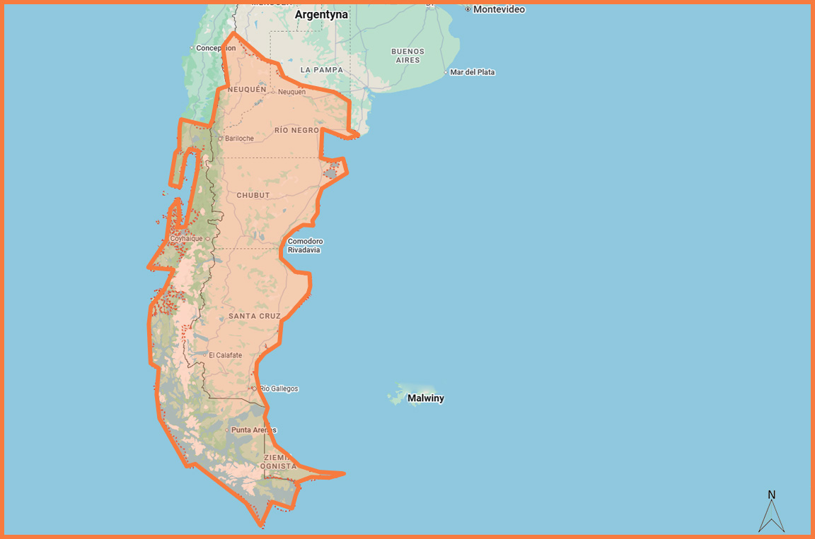
PATAGONIA • Provinces: Neuquén, Río Negro, Chubut
DESCRIPTION:
With Patagonia — or at least its Argentine eastern part, which I know quite well — something unusual happens…
It feels like a separate entity, expressing in many aspects (climate, organization, landscape, vibe, architecture…) its difference from the rest of the country.
Patagonia is even physically separated by hundreds of kilometers of near-empty land, where even the asphalt of national roads fades away, marking the region’s detachment from the rest of Argentina.
In fact, it could easily be its own country: looking like Norway, with the climate of France, Swiss prices (2026), and Mongolian population density.
The whole of Patagonia is the sum of the southern extremes of Argentina and Chile, between the Atlantic and Pacific Oceans — roughly one million km² inhabited by just 2 million people.
Those 2 people per km² say a lot about the character of this land.
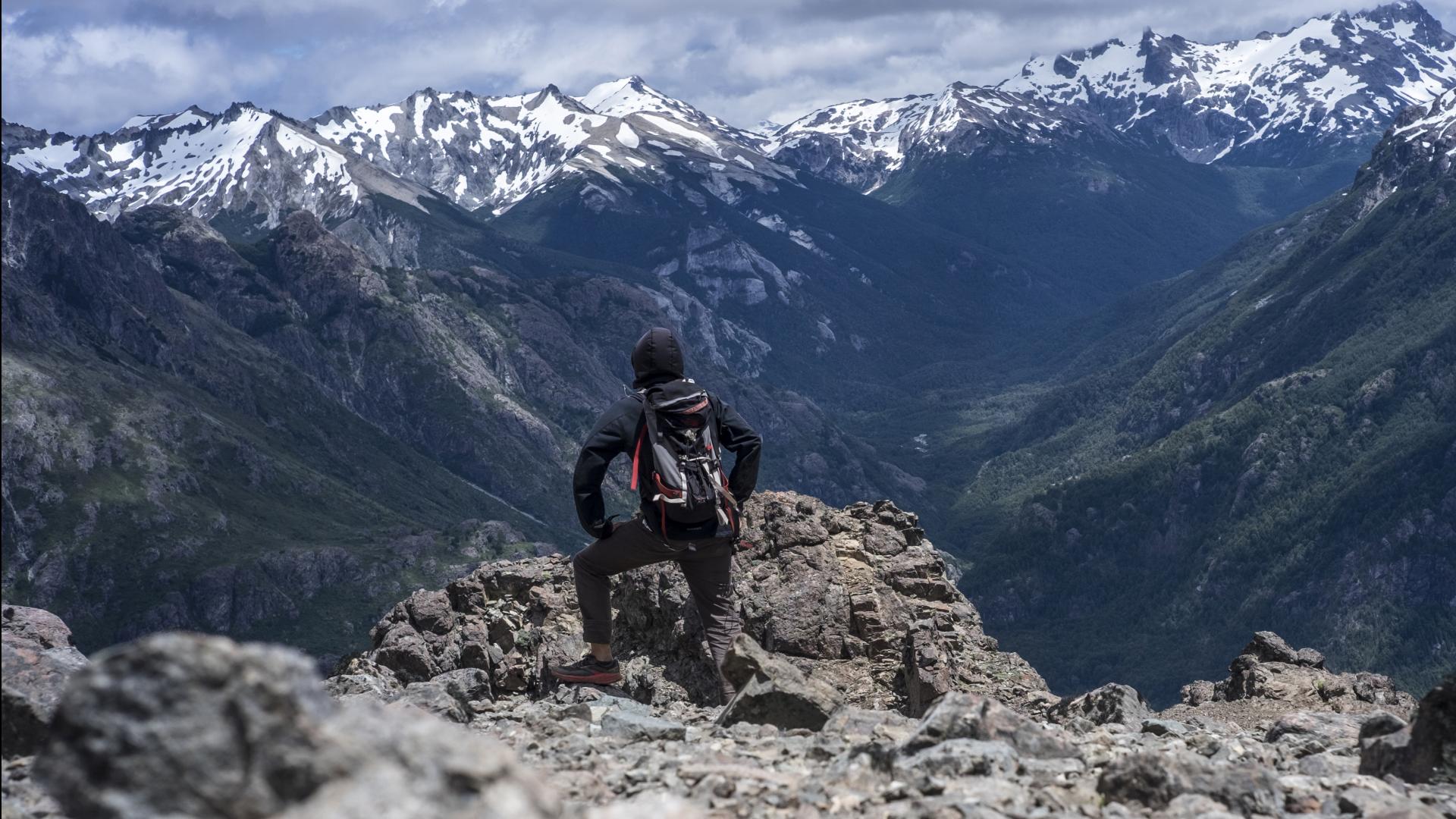
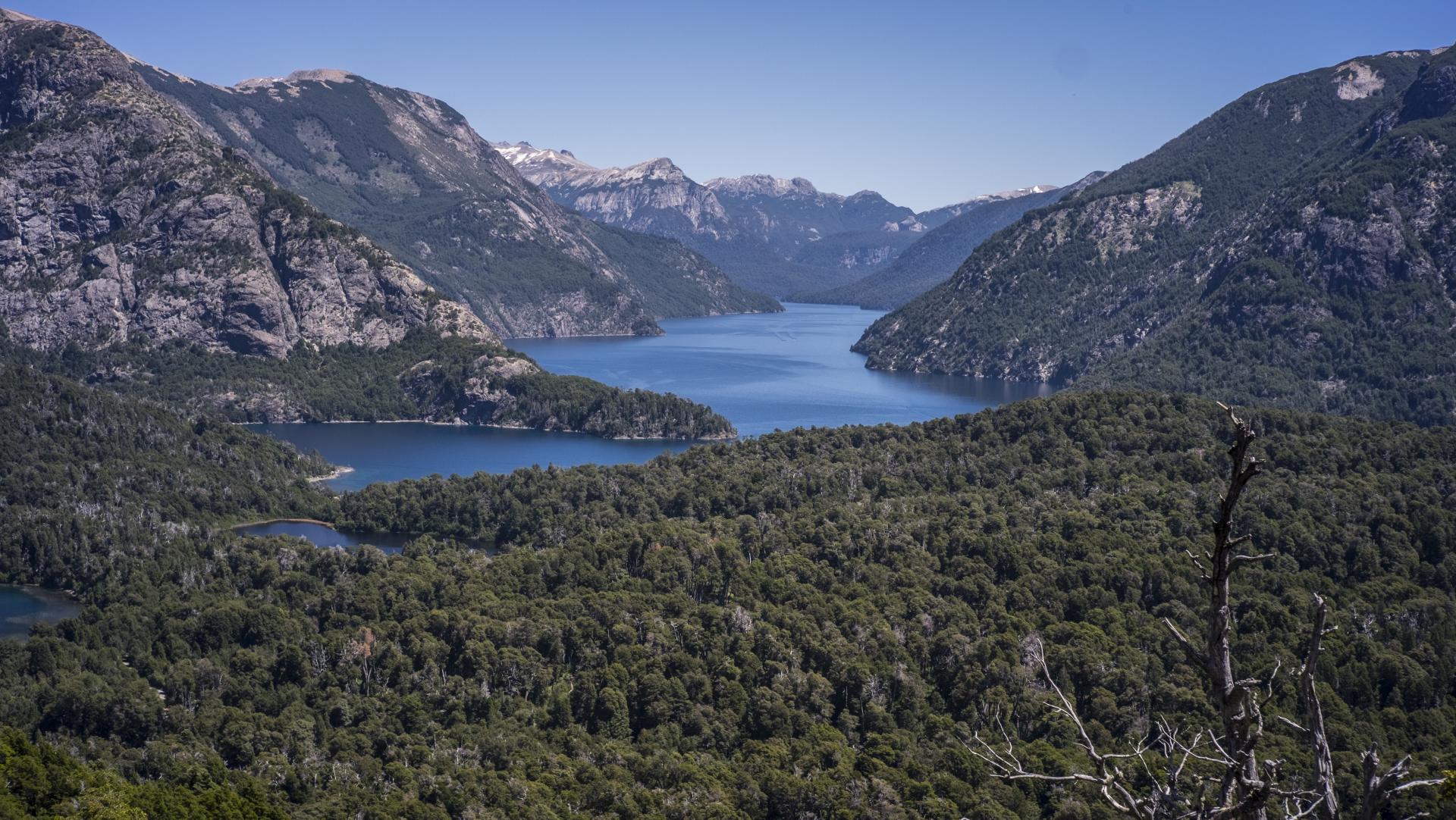
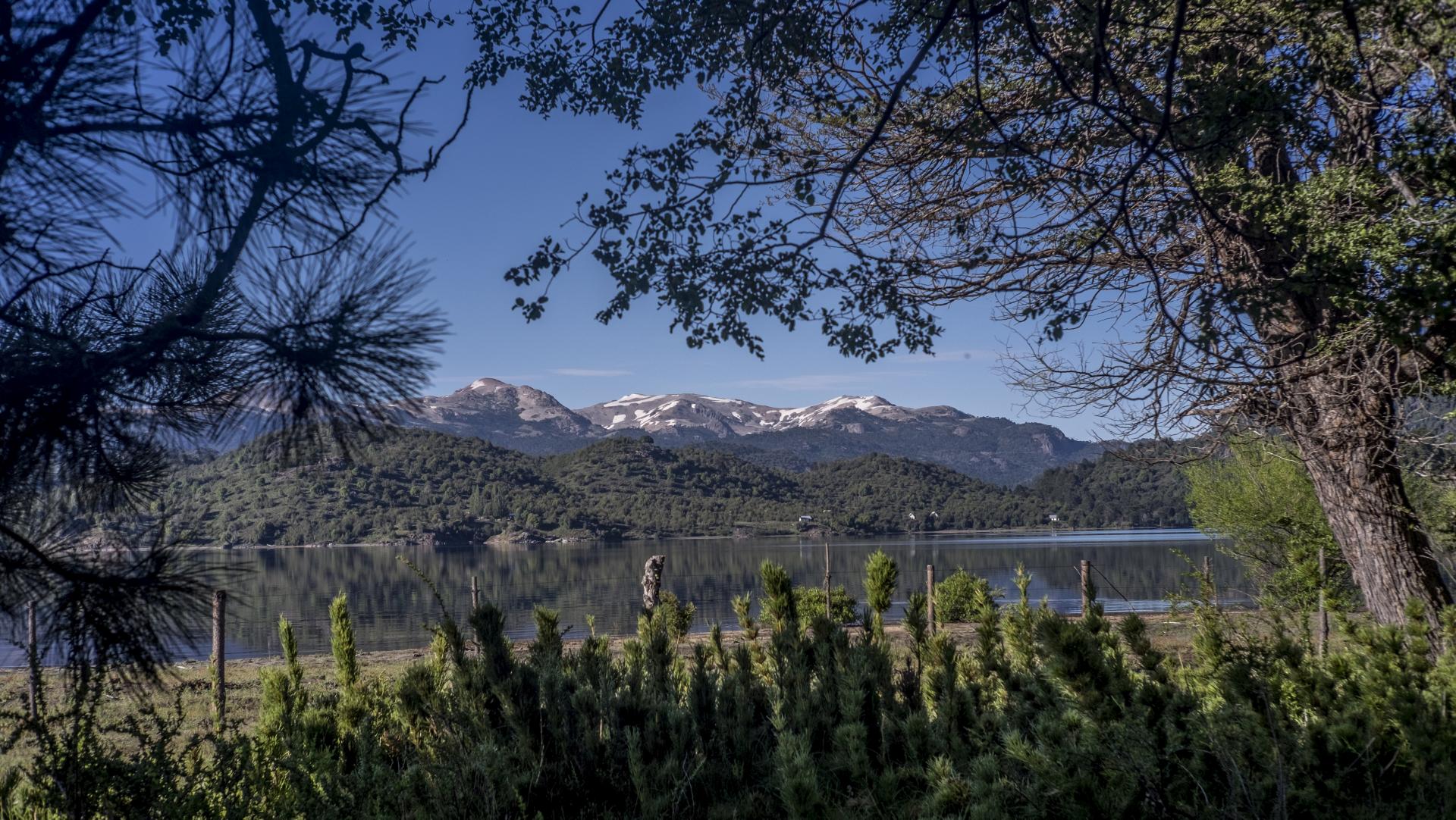
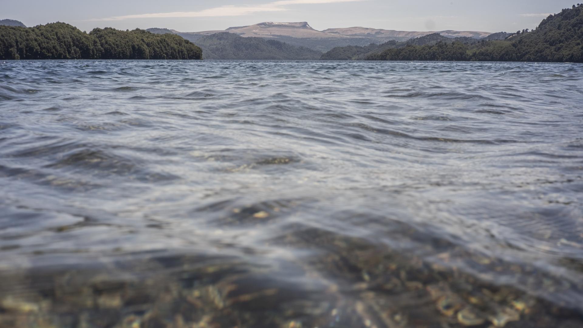
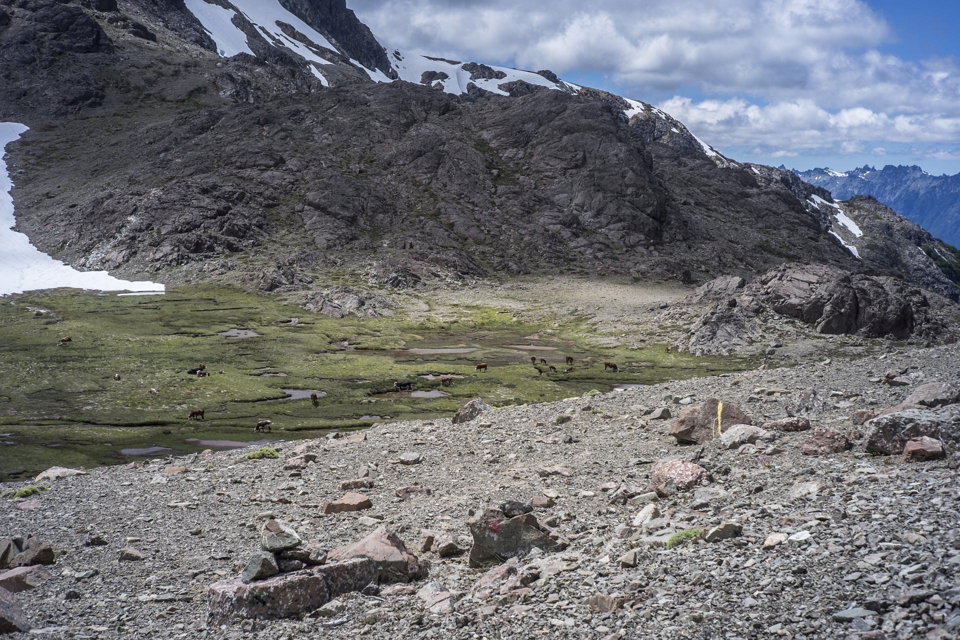
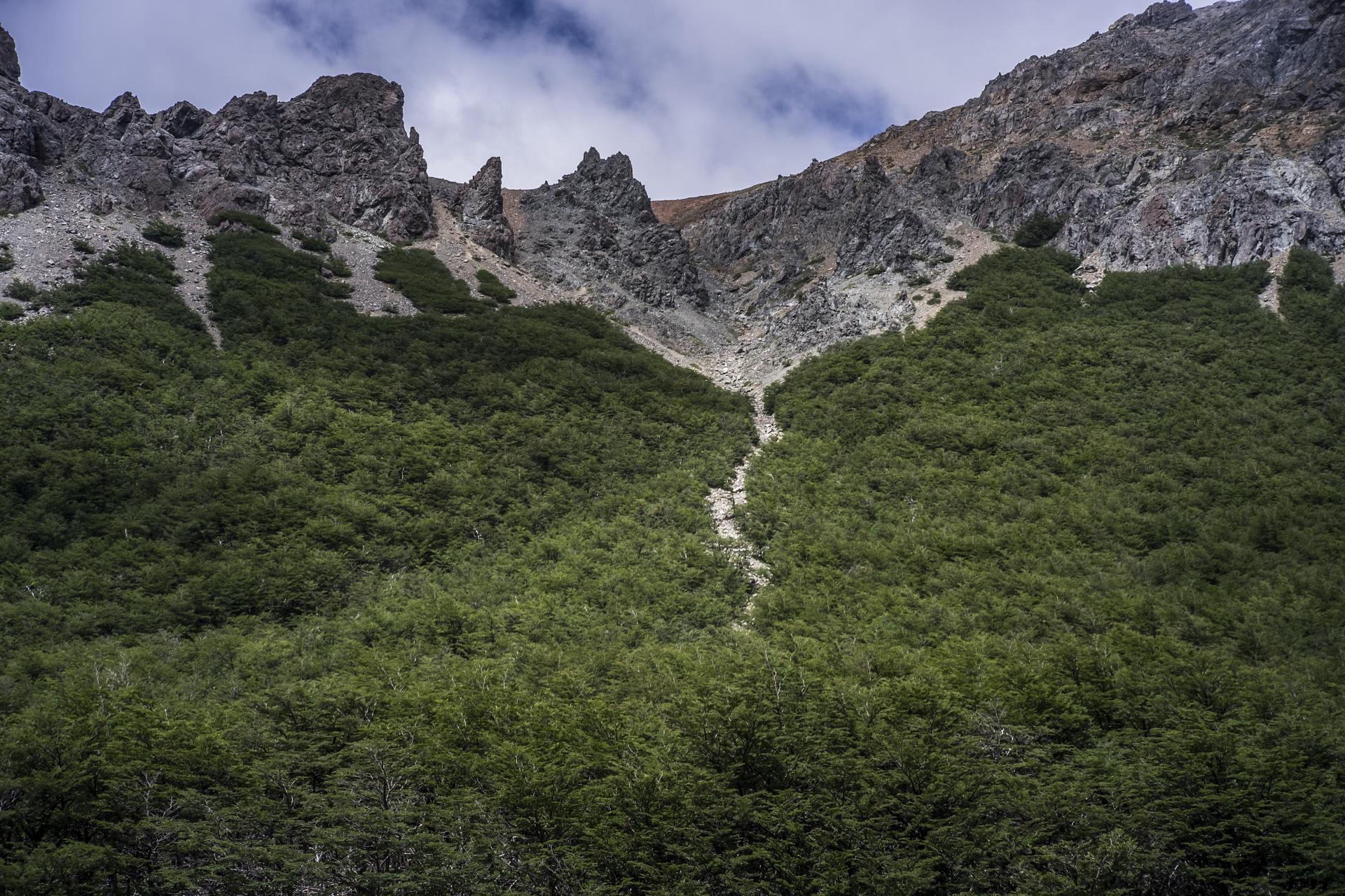
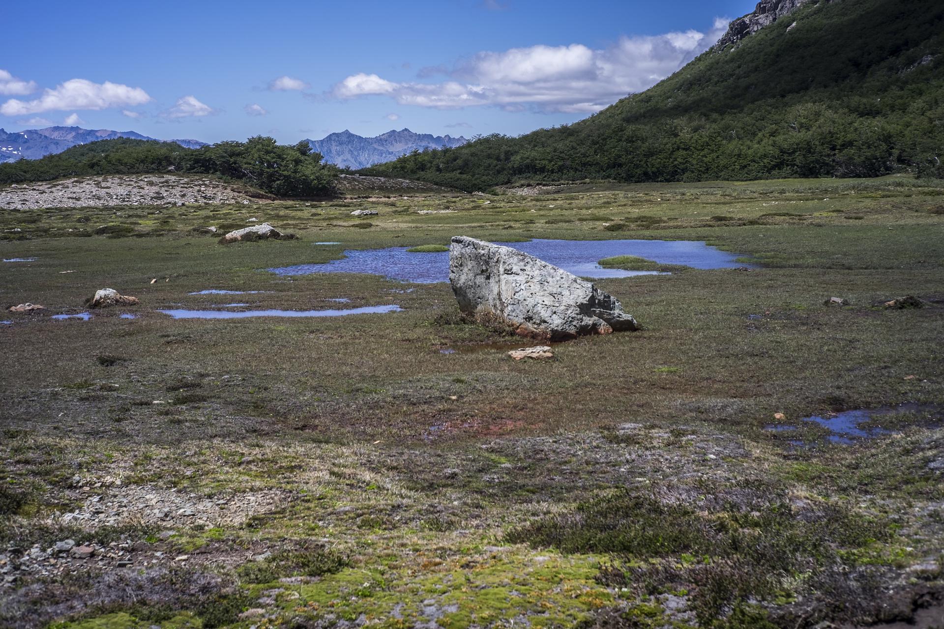
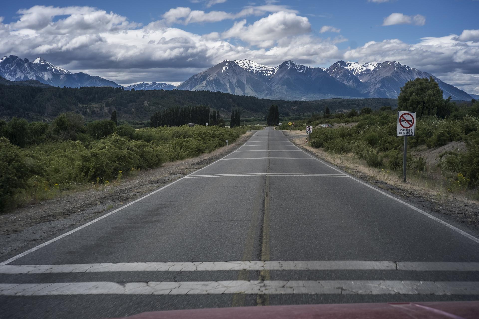
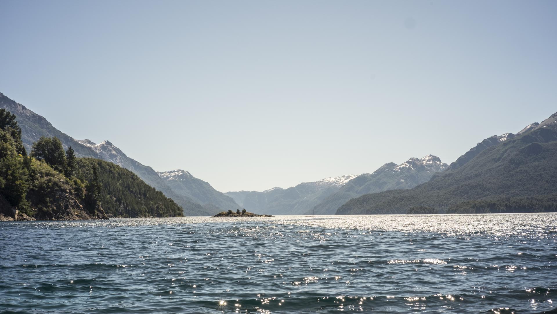
On the Argentine side it is mostly a rocky, windy desert (with glaciers in the south), and in the north pine forests, lakes, and mountains with huge tourism potential.
Chile is coastline, lakes, and forest — I’ll talk more about it once I go there, though I’m not in a hurry to do so.
Geographically speaking, we are talking about a territory stretching roughly from the 38th parallel south all the way to the very end of South America… the famous kingdom of wind: Cape Horn.
LOCATION:
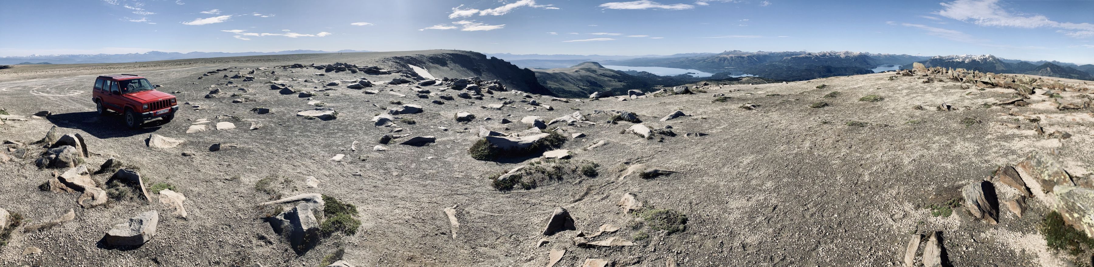
MY PHOTOS GALLERY:
BOLIVIA • here and there
DESCRIPTION:
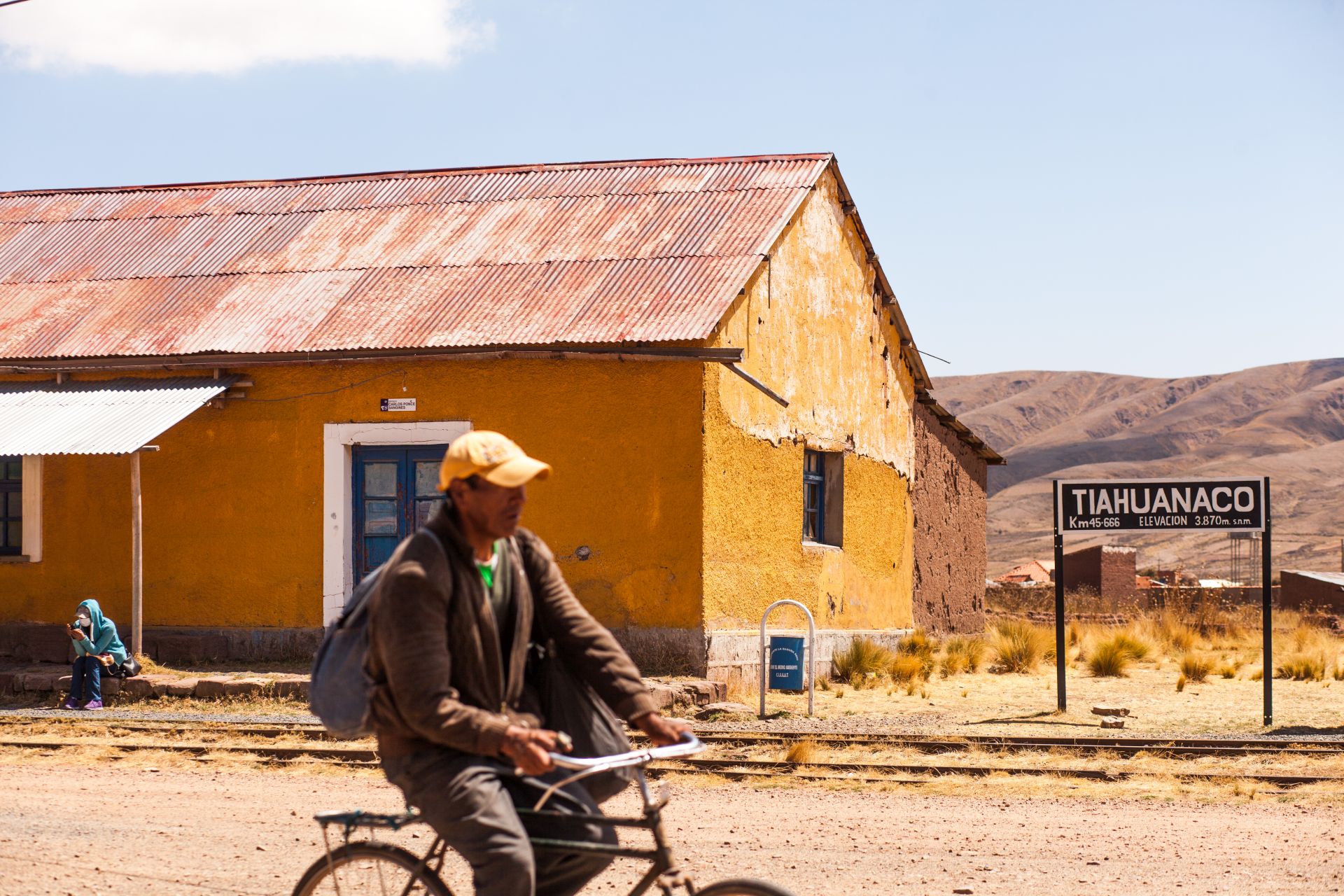
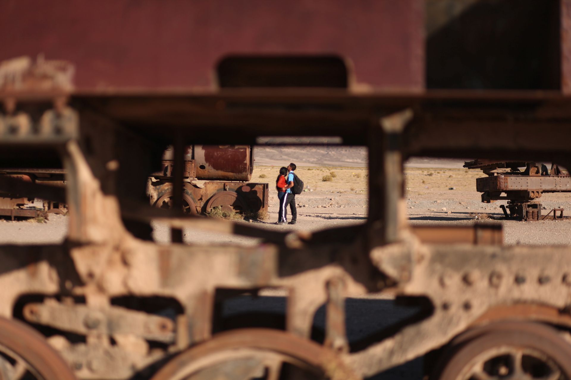
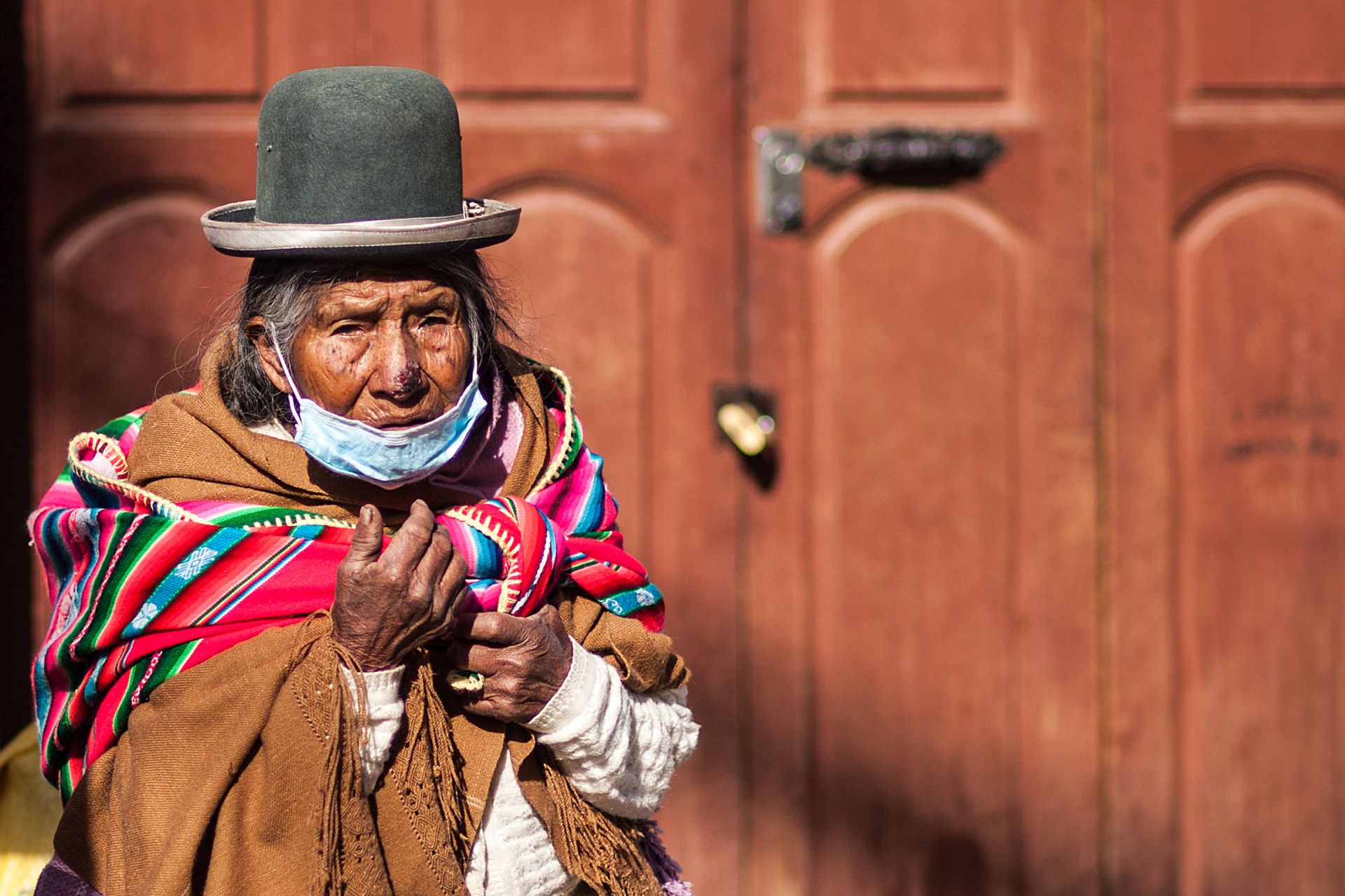
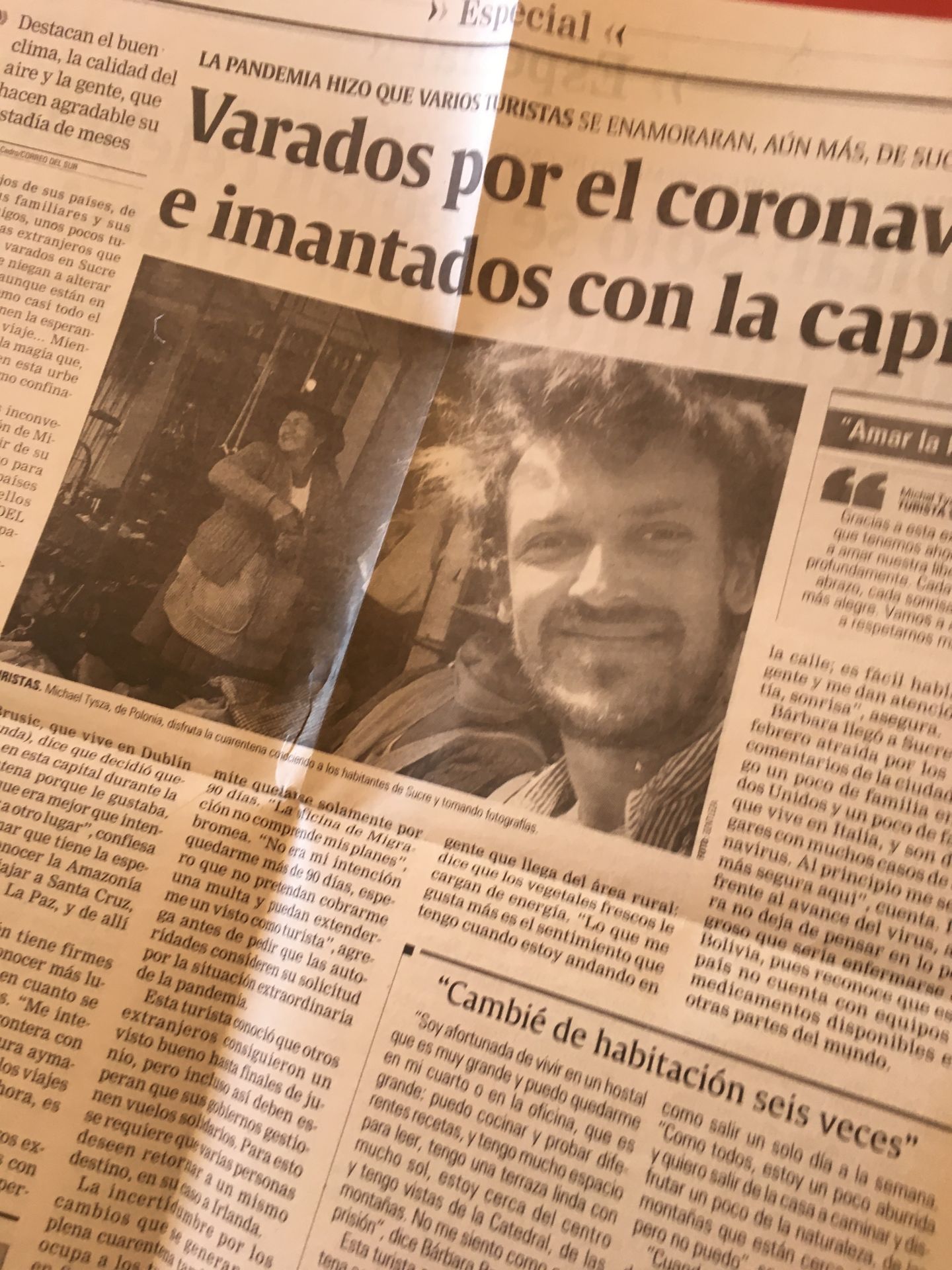
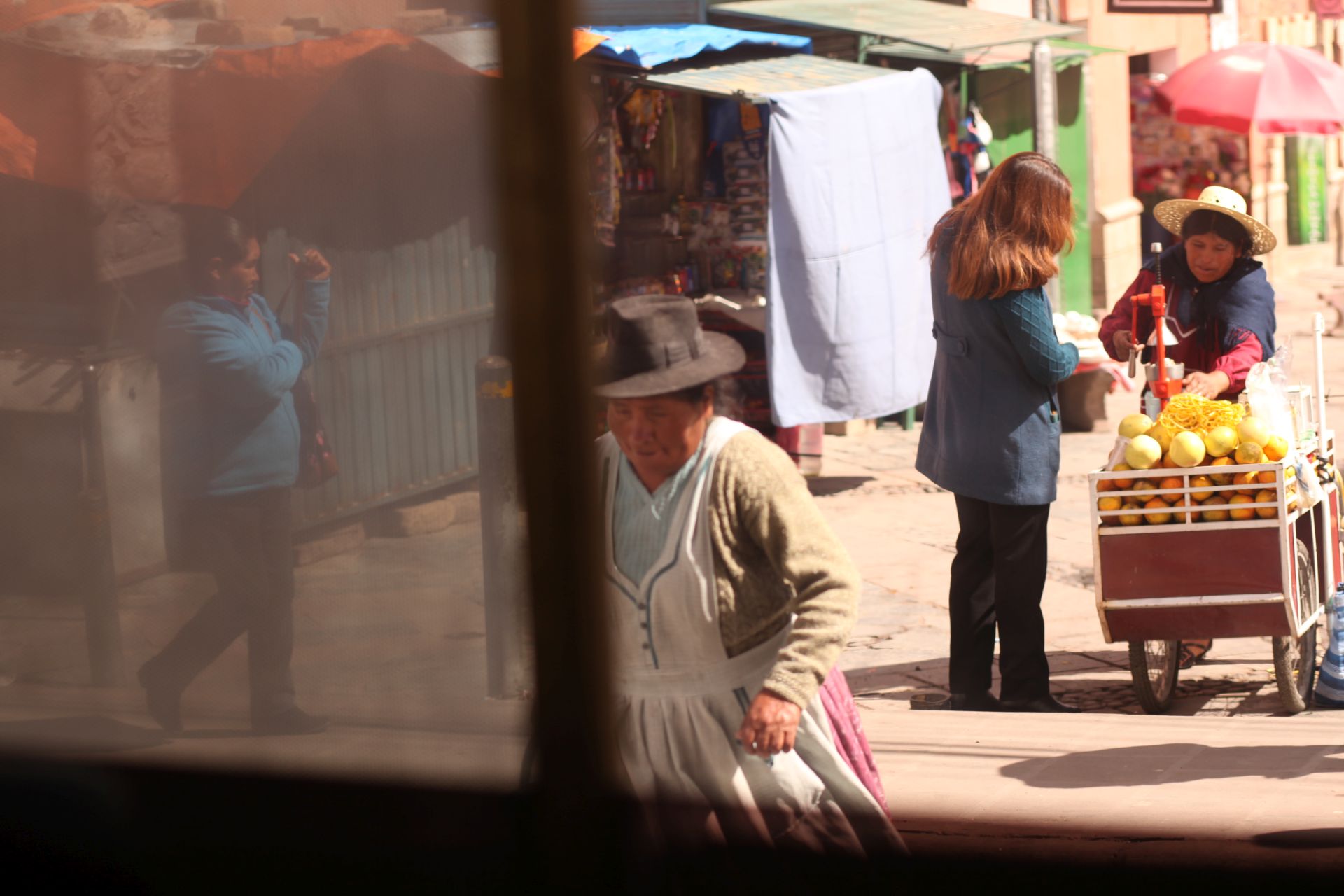
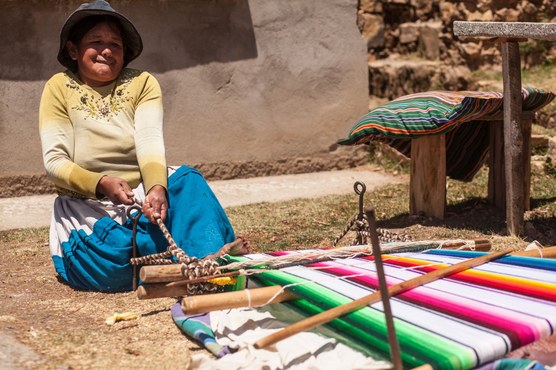
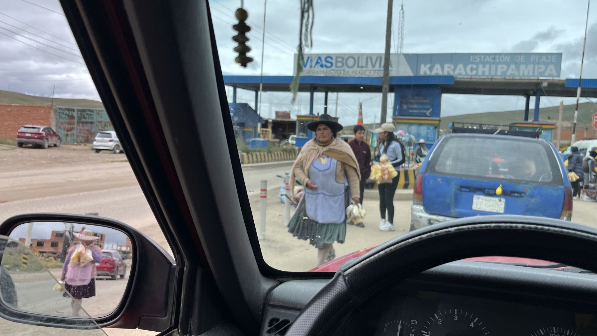
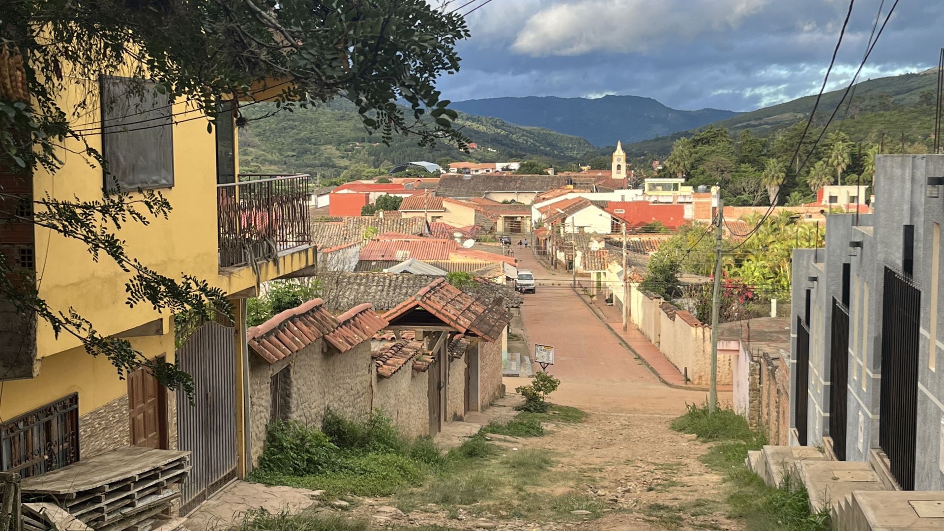
I like Bolivia. After all, I spent most of the pandemic here, so I had the chance to get to know the country quite deeply, also in rather unusual circumstances.
The decision to spend the “time of the plague” in Bolivia turned out to be one of the better ones… and the experience was much more interesting than it would have been in a more chaotic, for example European country. Fortunately, in Bolivia nobody showed much need to interfere uninvited in my affairs.
Of course, things in South America tend to change quite dynamically, but in terms of personal freedom for EU passport holders, I would really rank Bolivia quite high in my personal ranking.
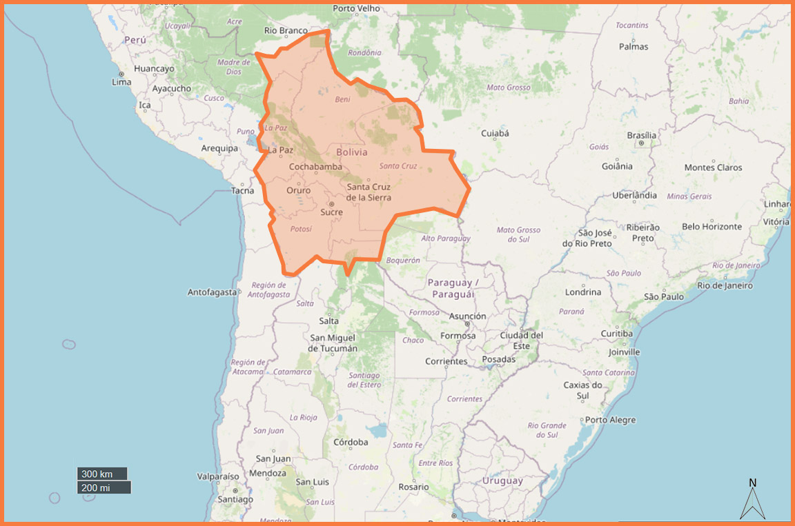
The country is extremely fascinating. While most countries are relatively similar to each other, Bolivia has a very distinctive character.
The moment you enter, you can immediately feel the difference.
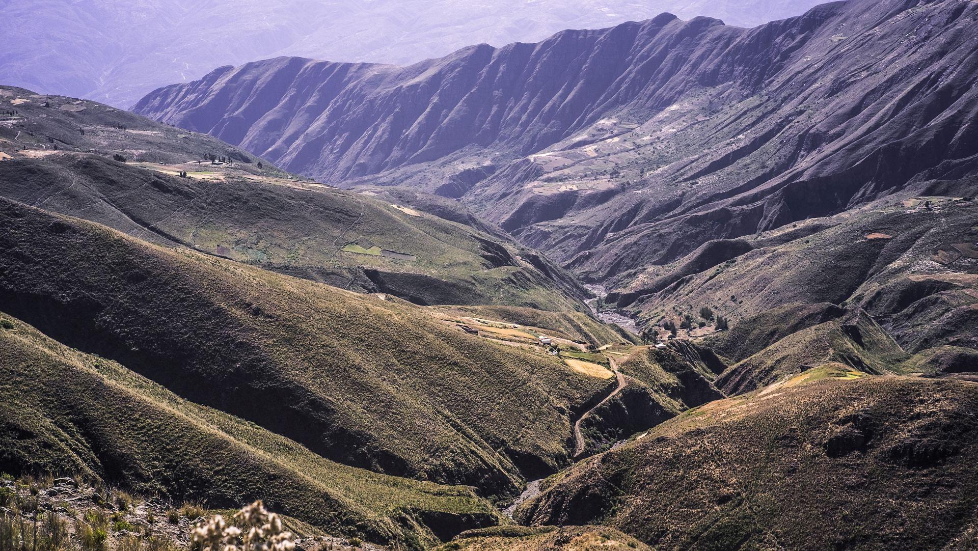
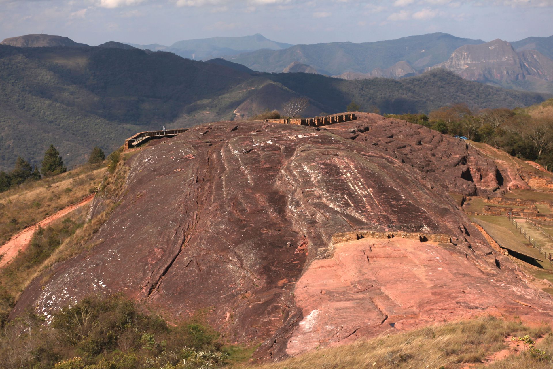
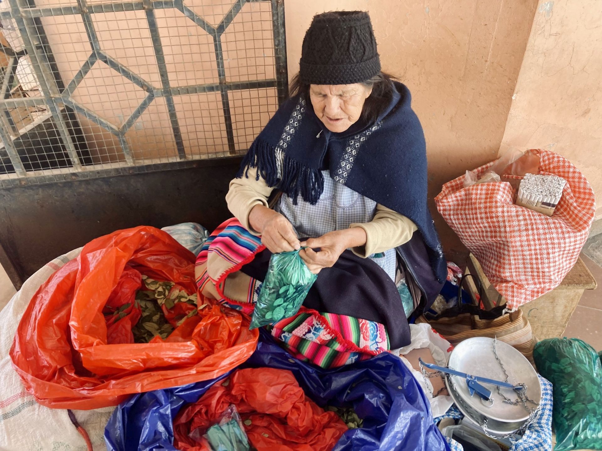
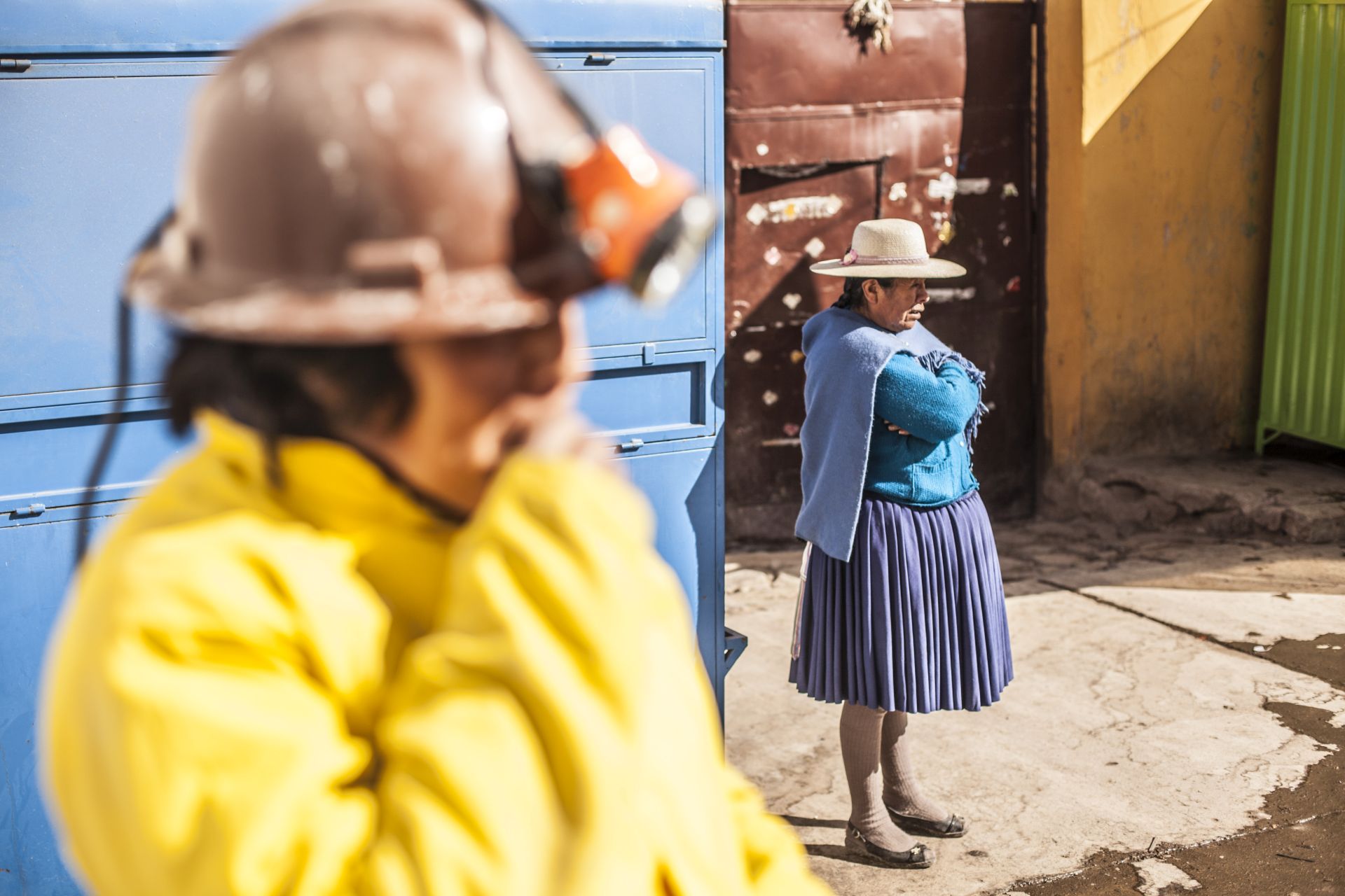
What surprised me most is its enormous diversity — the western Andean part with absolutely unique towns often located above 4000 m a.s.l. is a completely different world compared to the eastern side with vegetation, jungle, coca plantations…
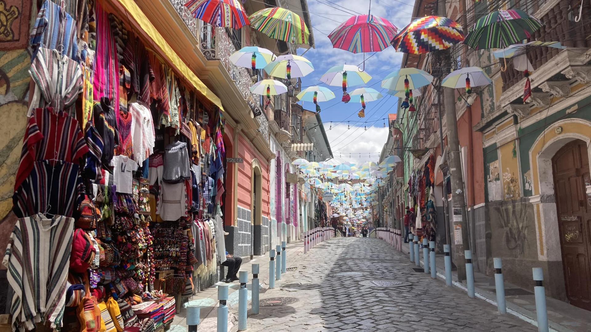
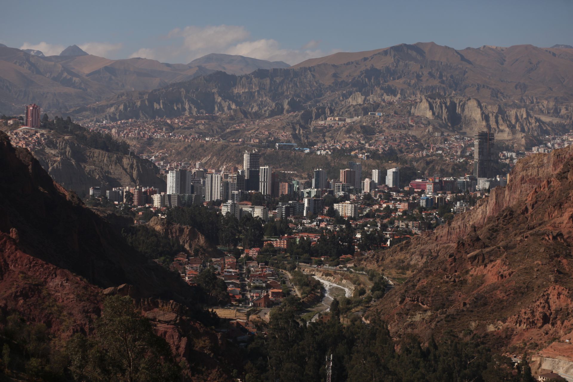
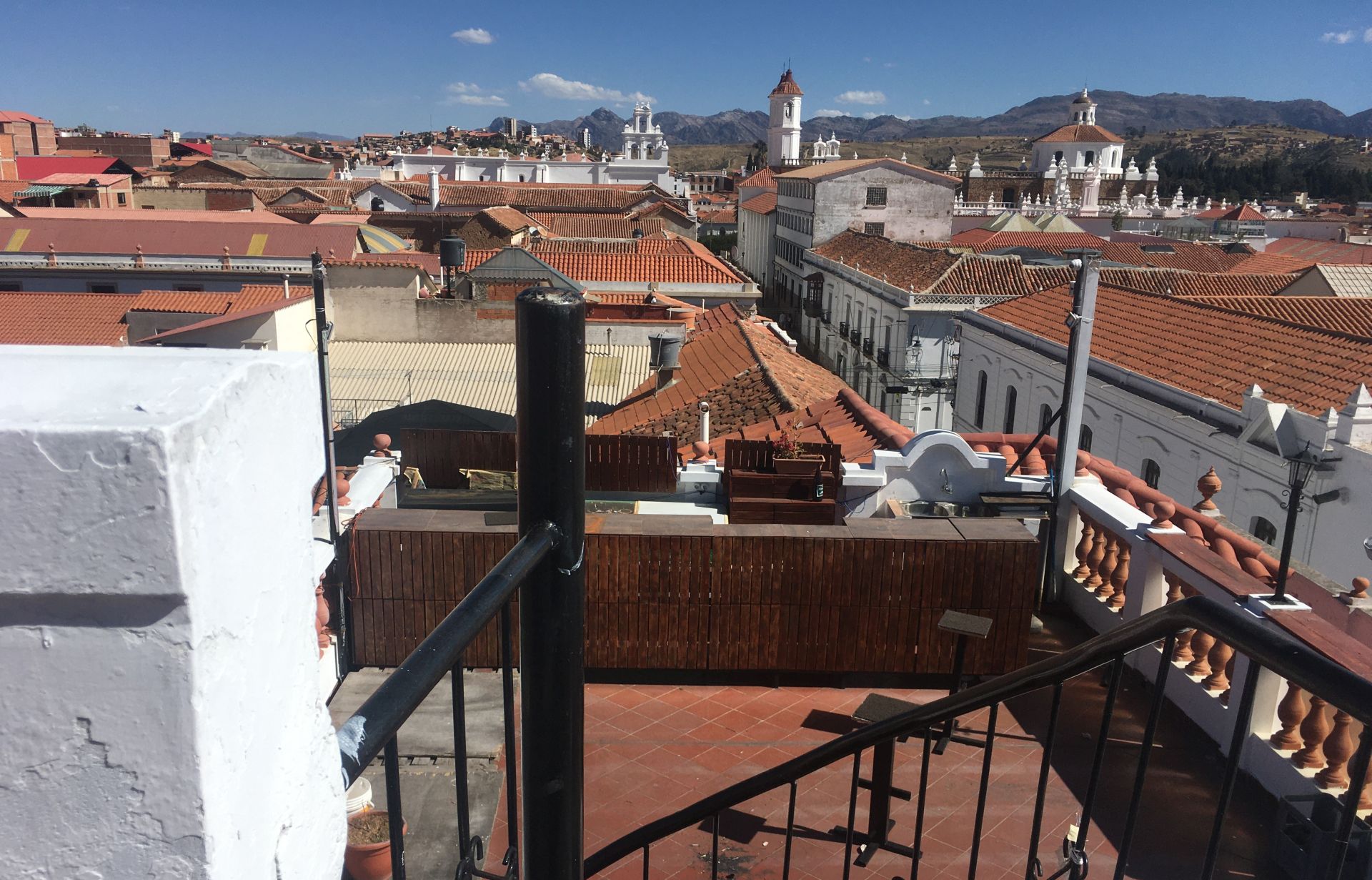
Add to that pre-Columbian mystical towns and the capital LA PAZ, which in its atmosphere and originality (a million-person city built at 4000 meters with cable cars instead of trams) is completely one of a kind.
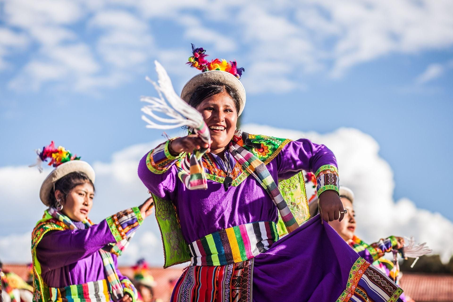
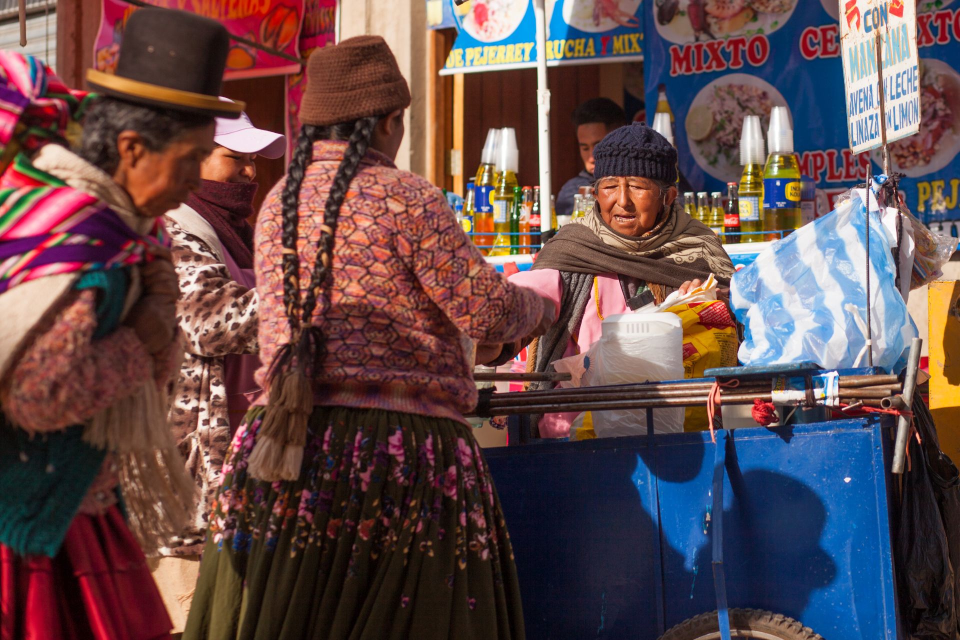
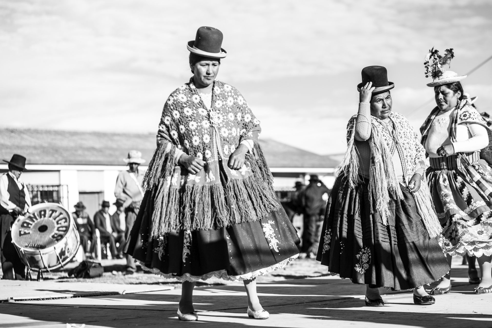
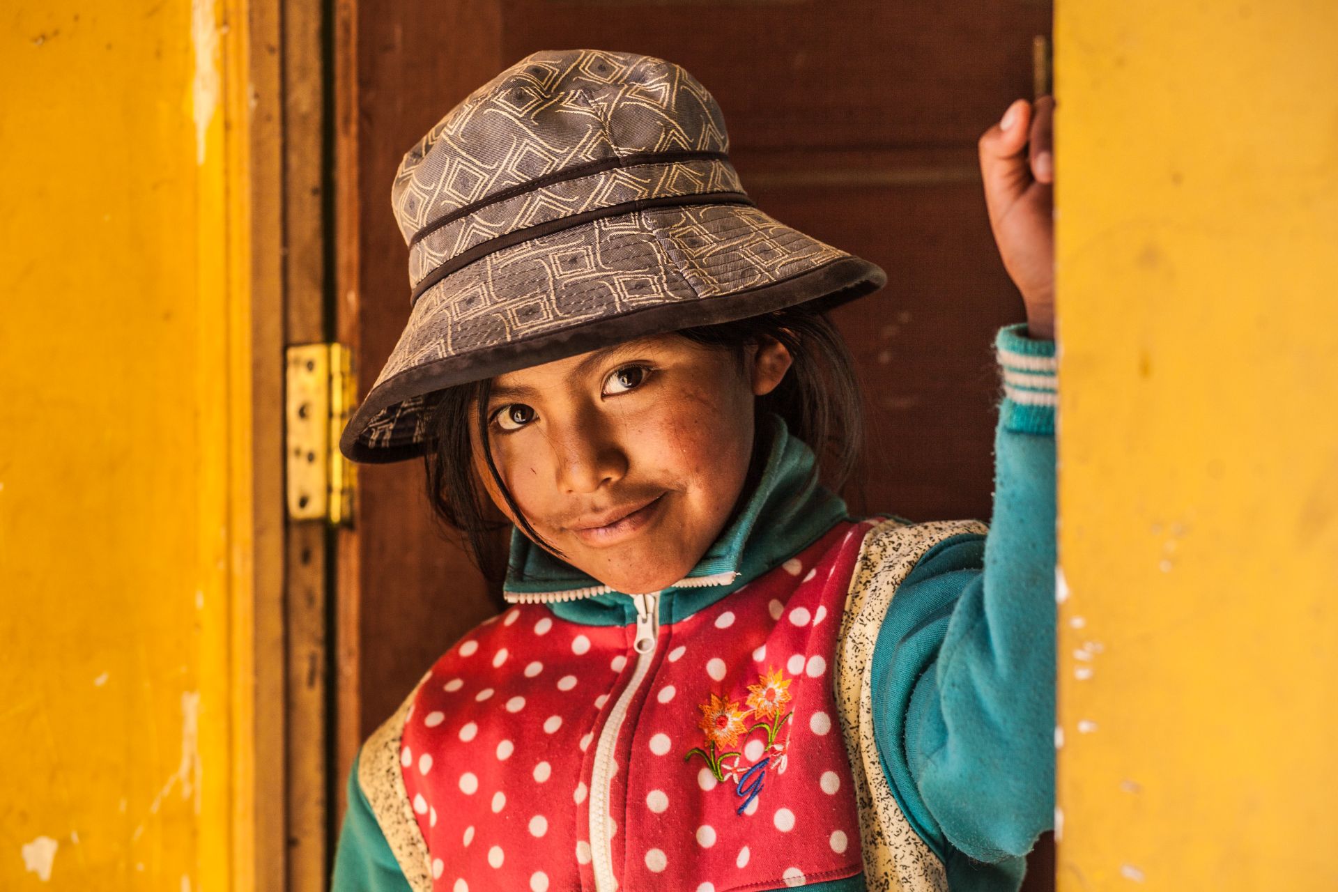
The differences between the reserved Aymara and the more open Quechua are surprising, if not shocking. The cherry on top is the jewel of post-colonial cities — the fantastic white Sucre ;) with a climate that perfectly suits me!
It is quite dangerous to drive here, because hardly anyone follows traffic rules. There is full disorder and chaos, but in a way that is the price of freedom — one I’m willing to pay…
LOCATION:
MY VIDEOS:
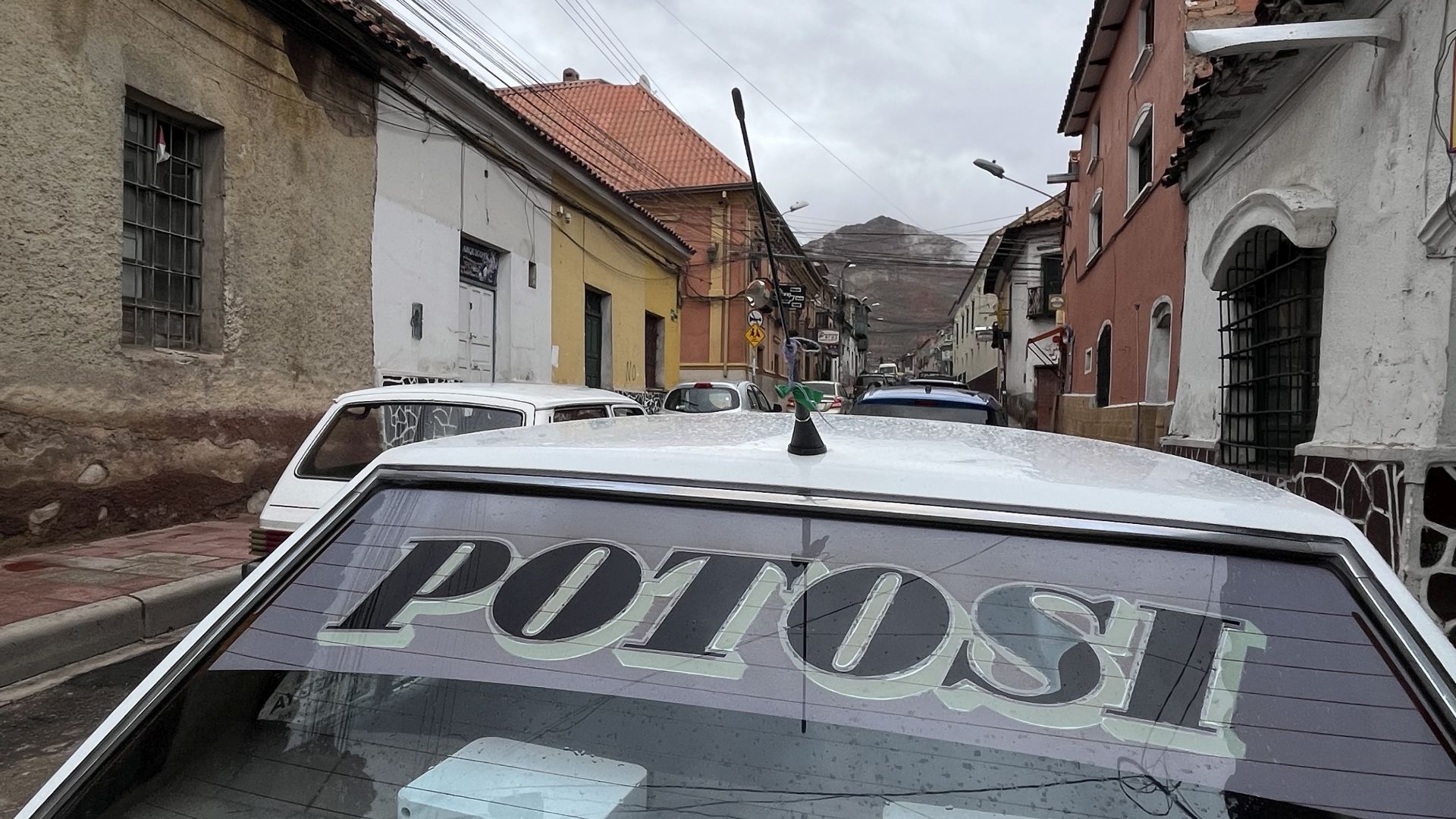
BOLIVIA – high-altitude 4x4 dirt roads of POTOSÍ province
PHOTO GALLERY – ALBUMS (click links below to open galleries):
PANDEMIC LA PAZ (2020)
Chuquisaca in times of plague (2020)
MY PHOTOS GALLERY:
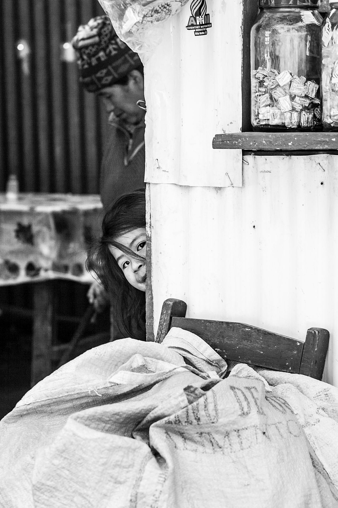
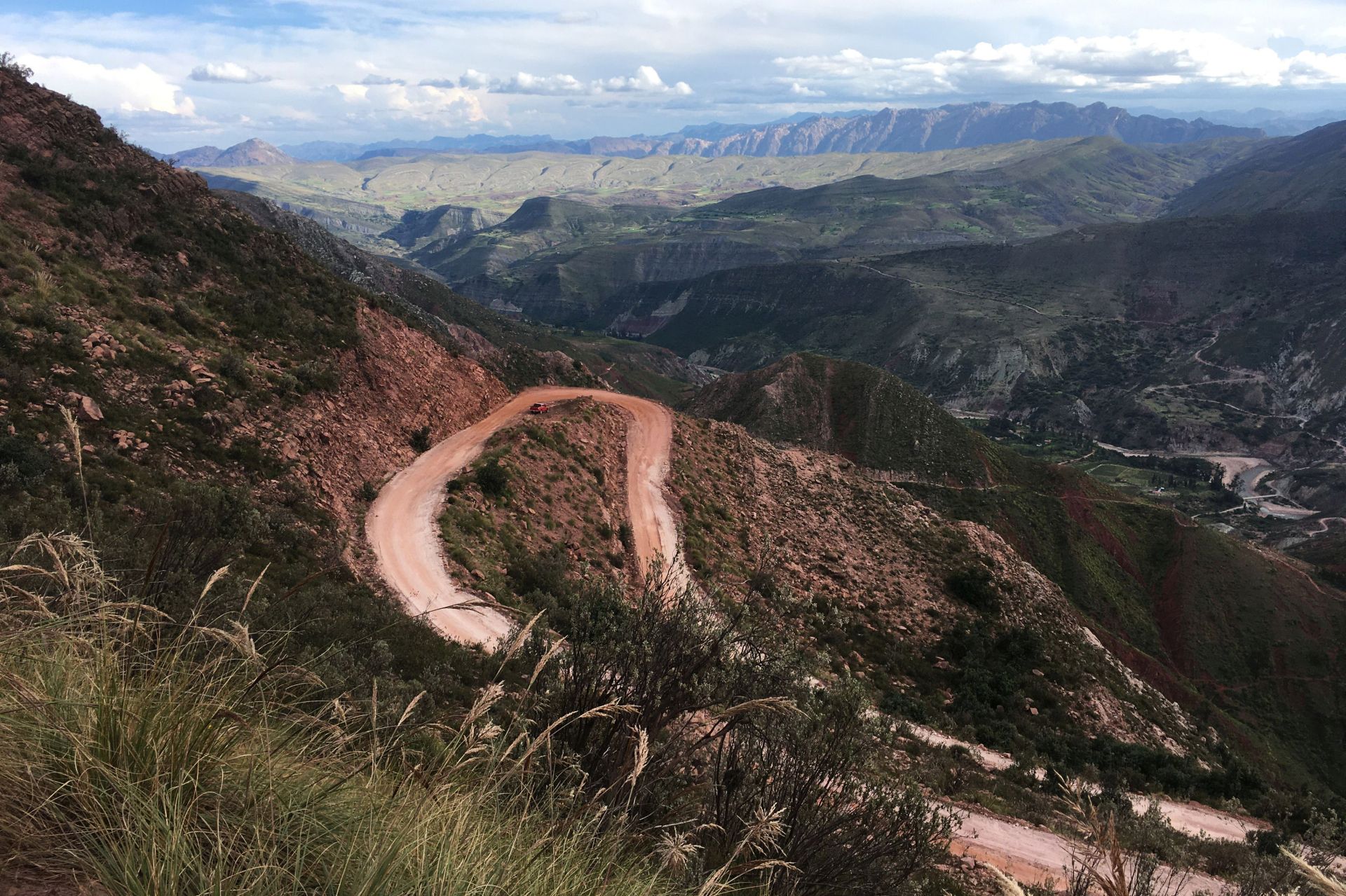
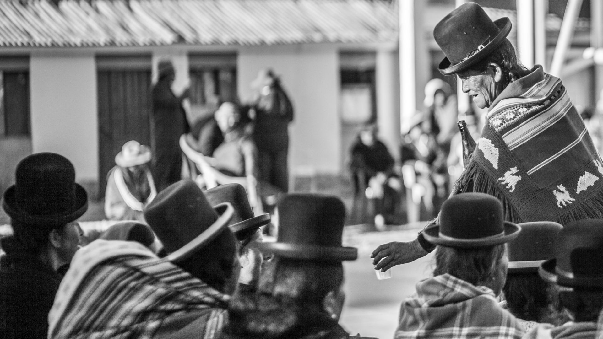
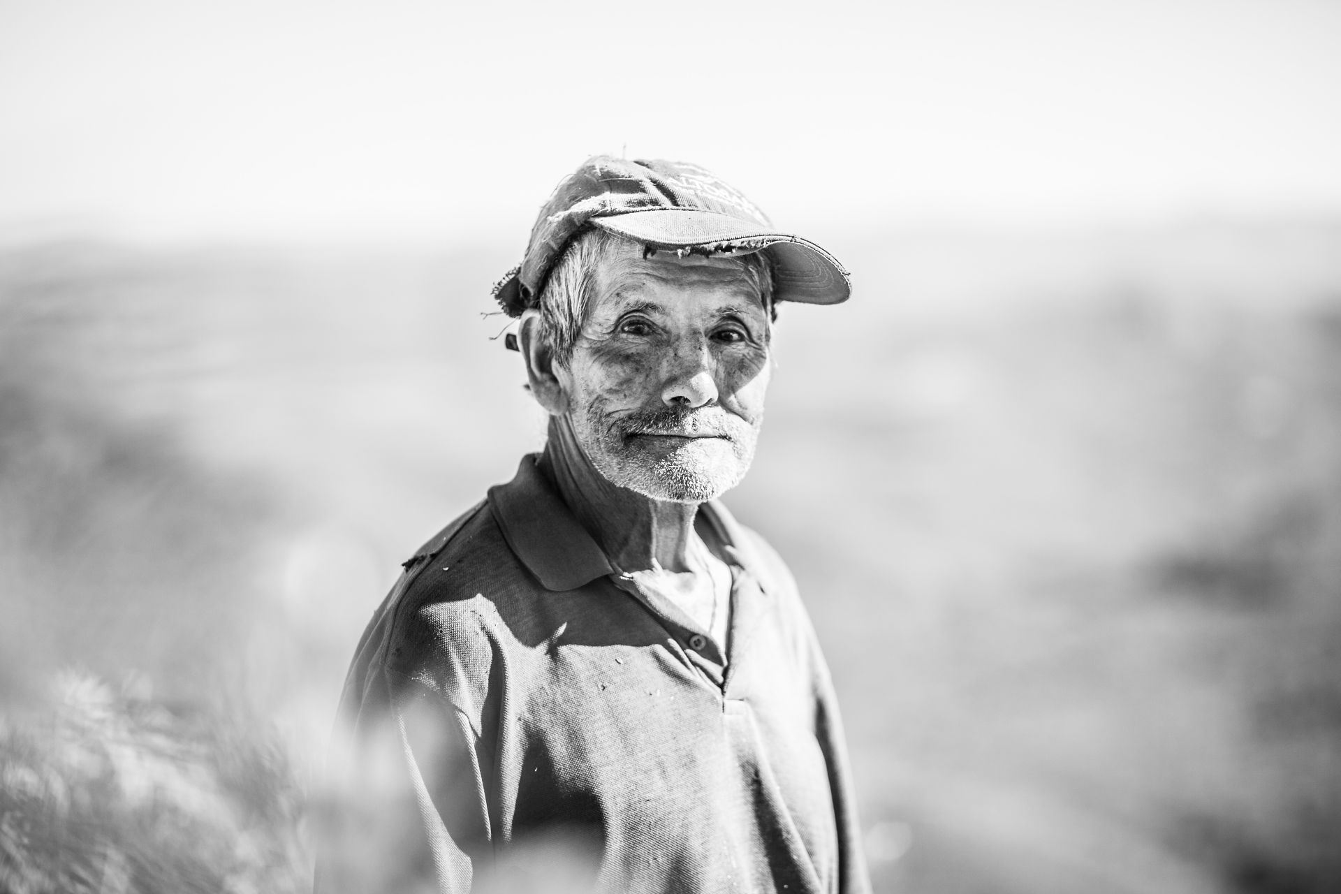
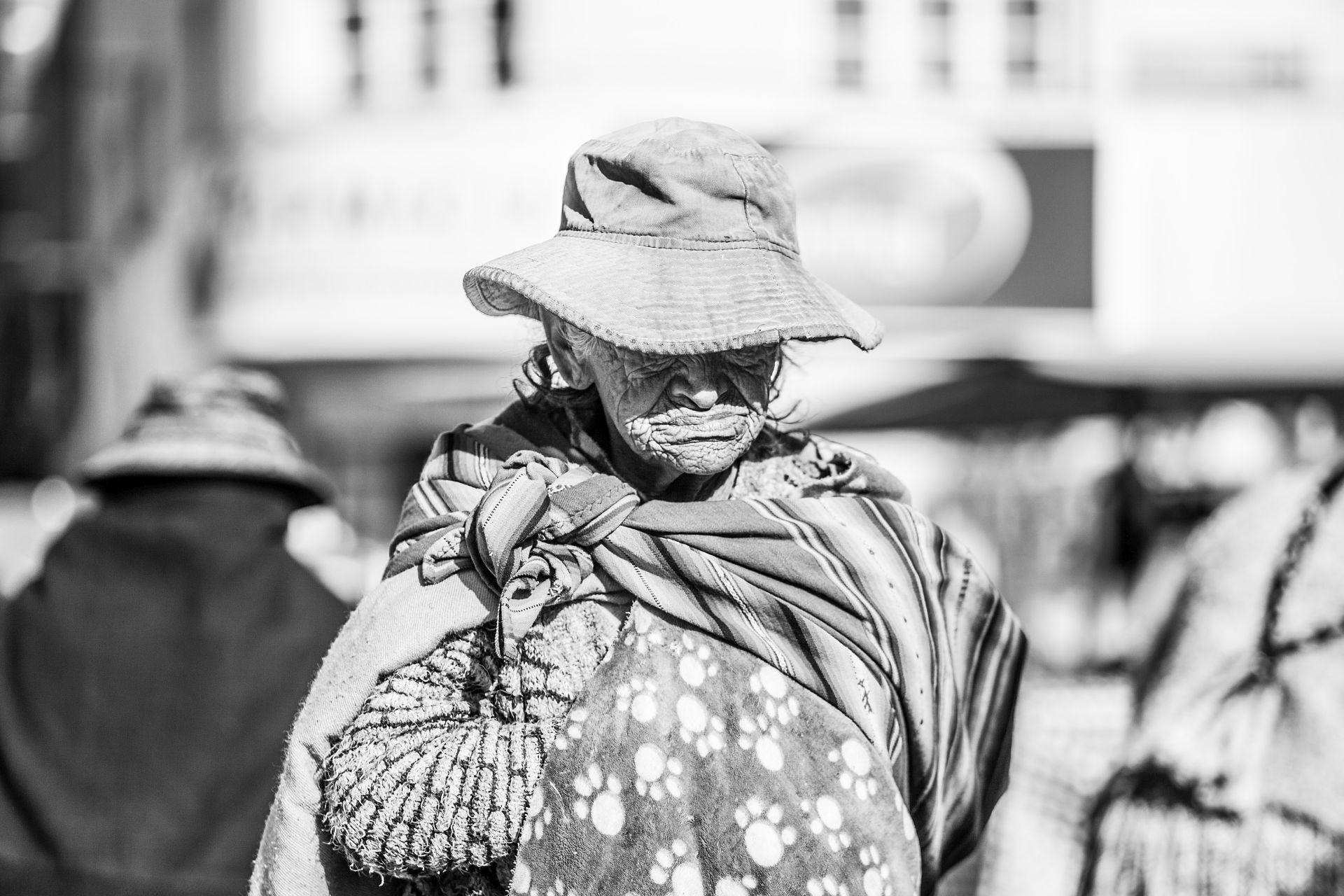
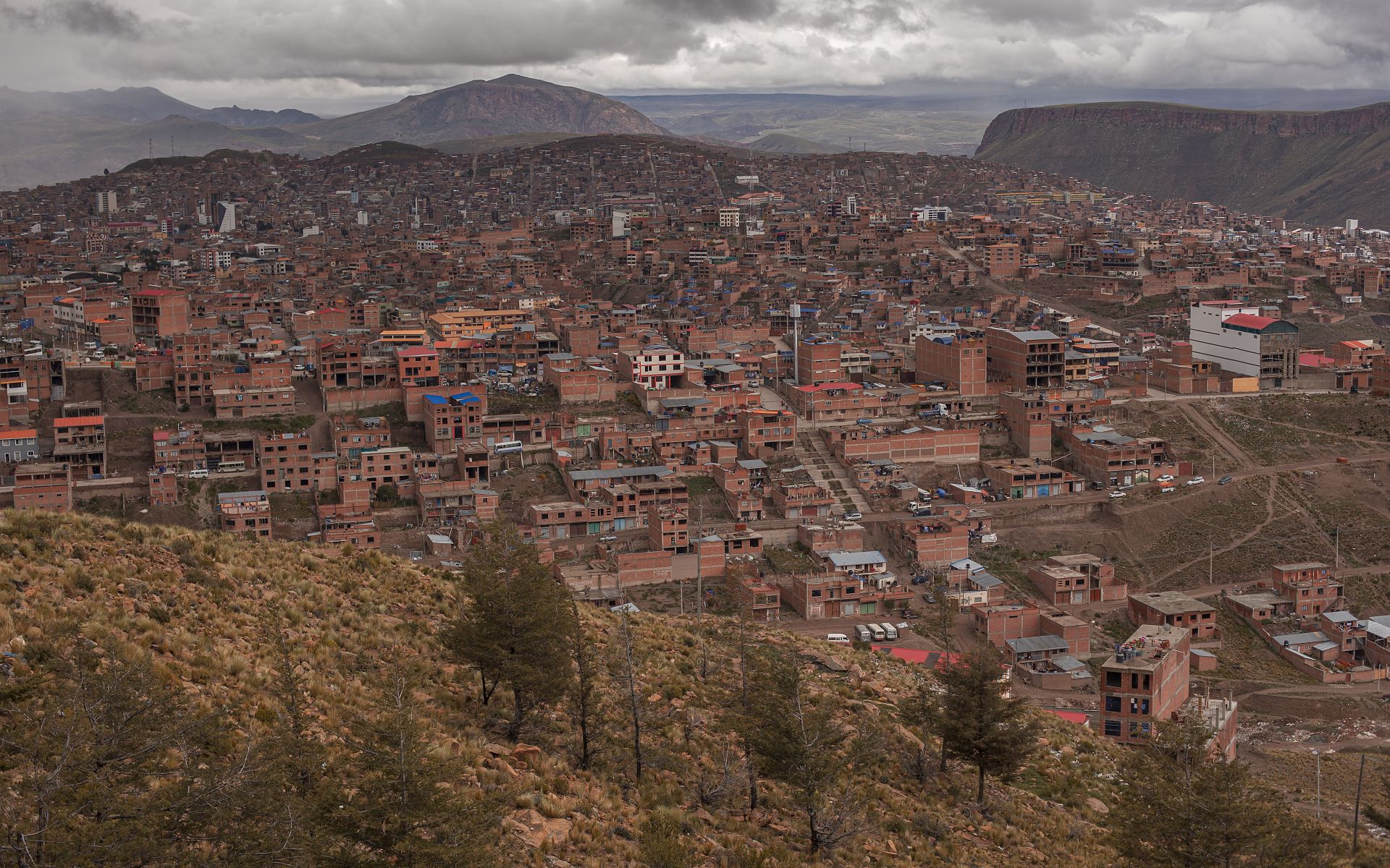
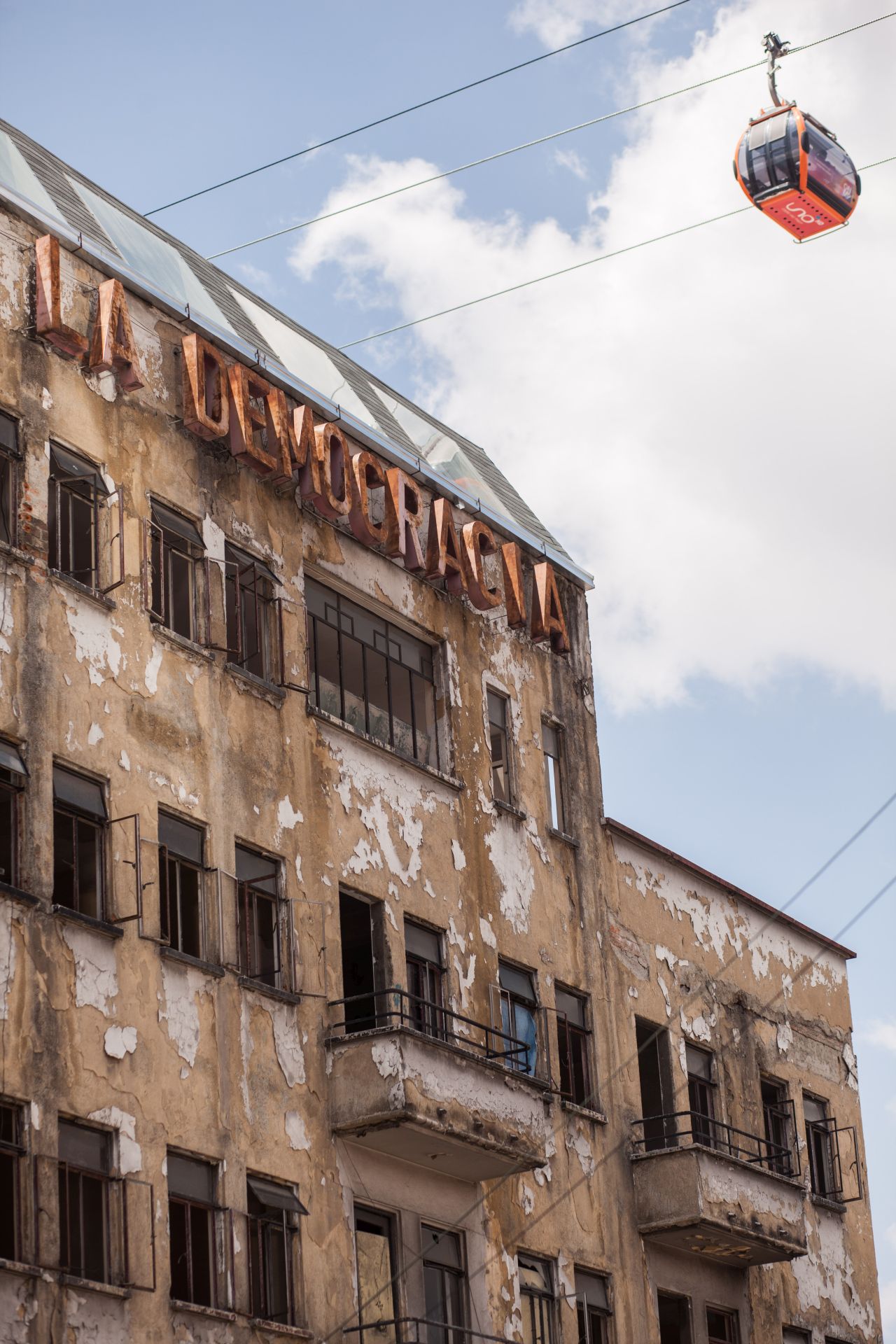
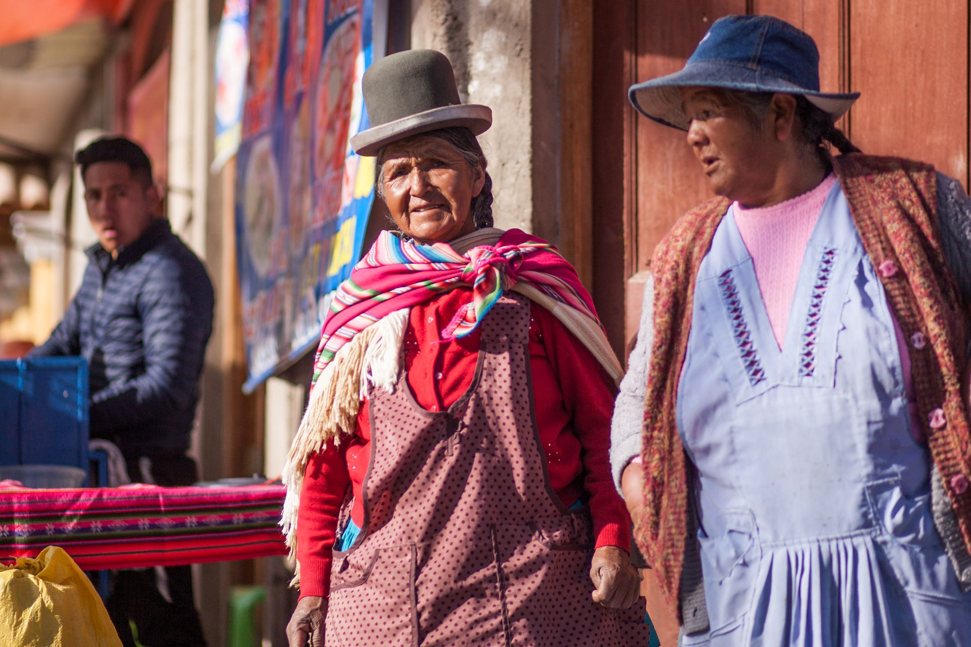

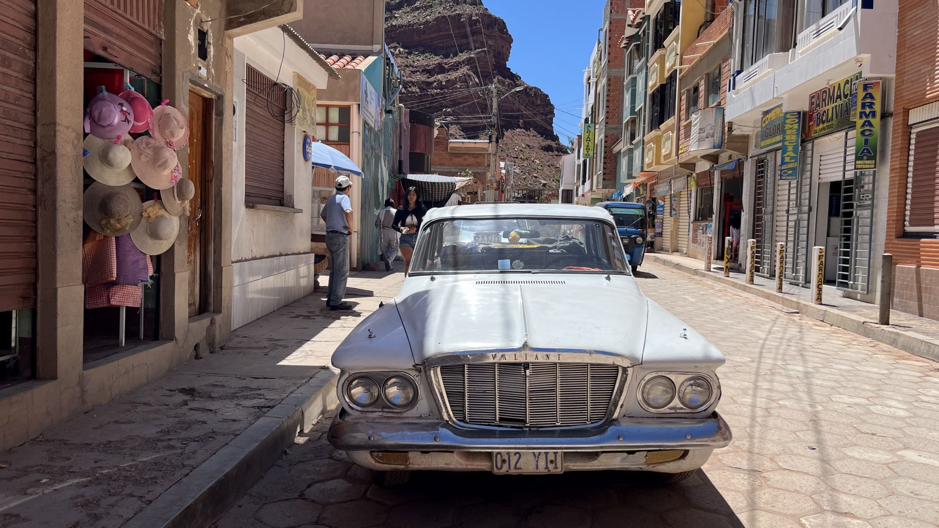
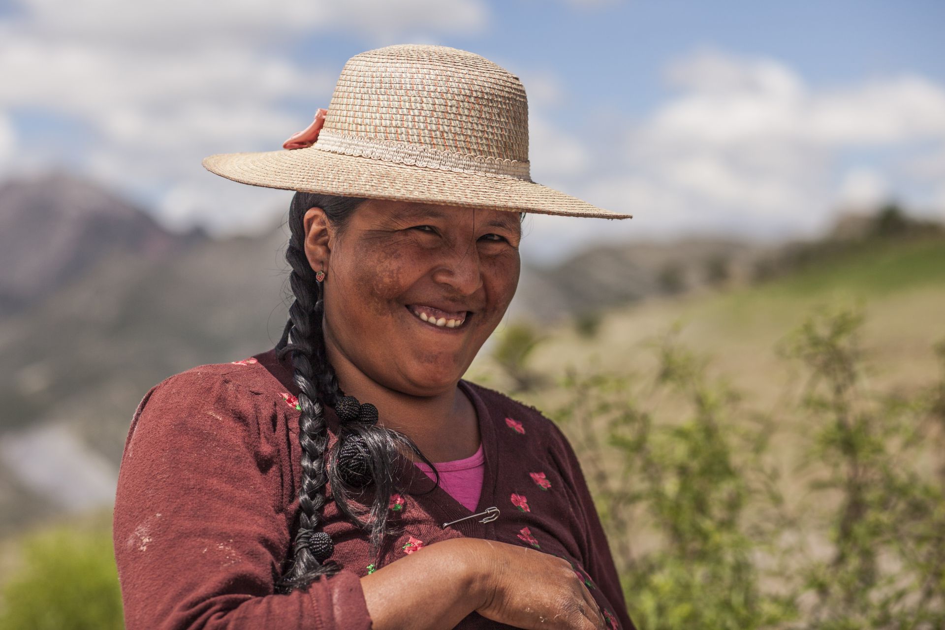
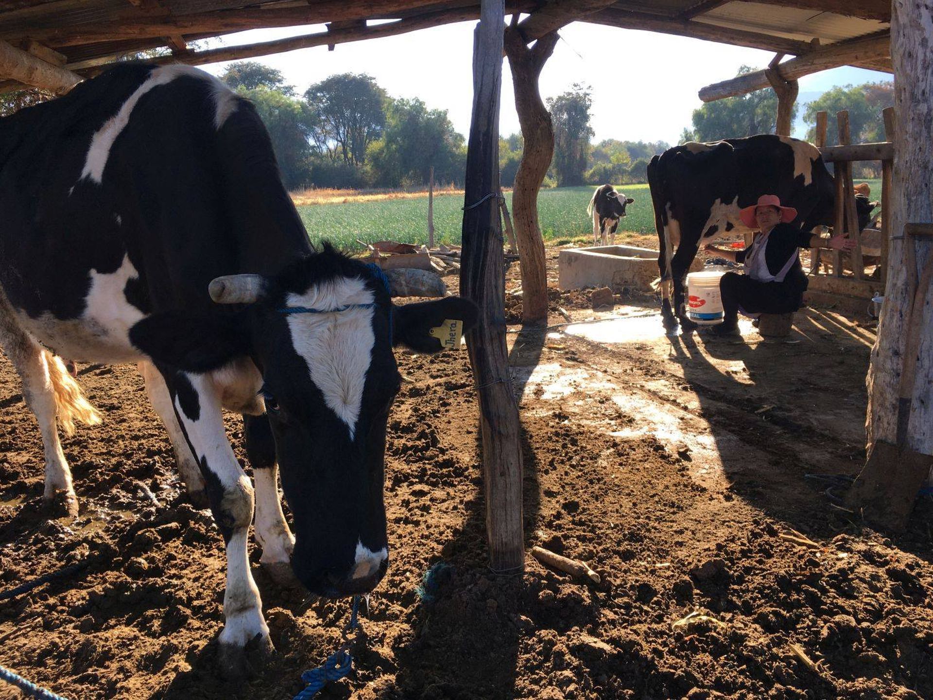
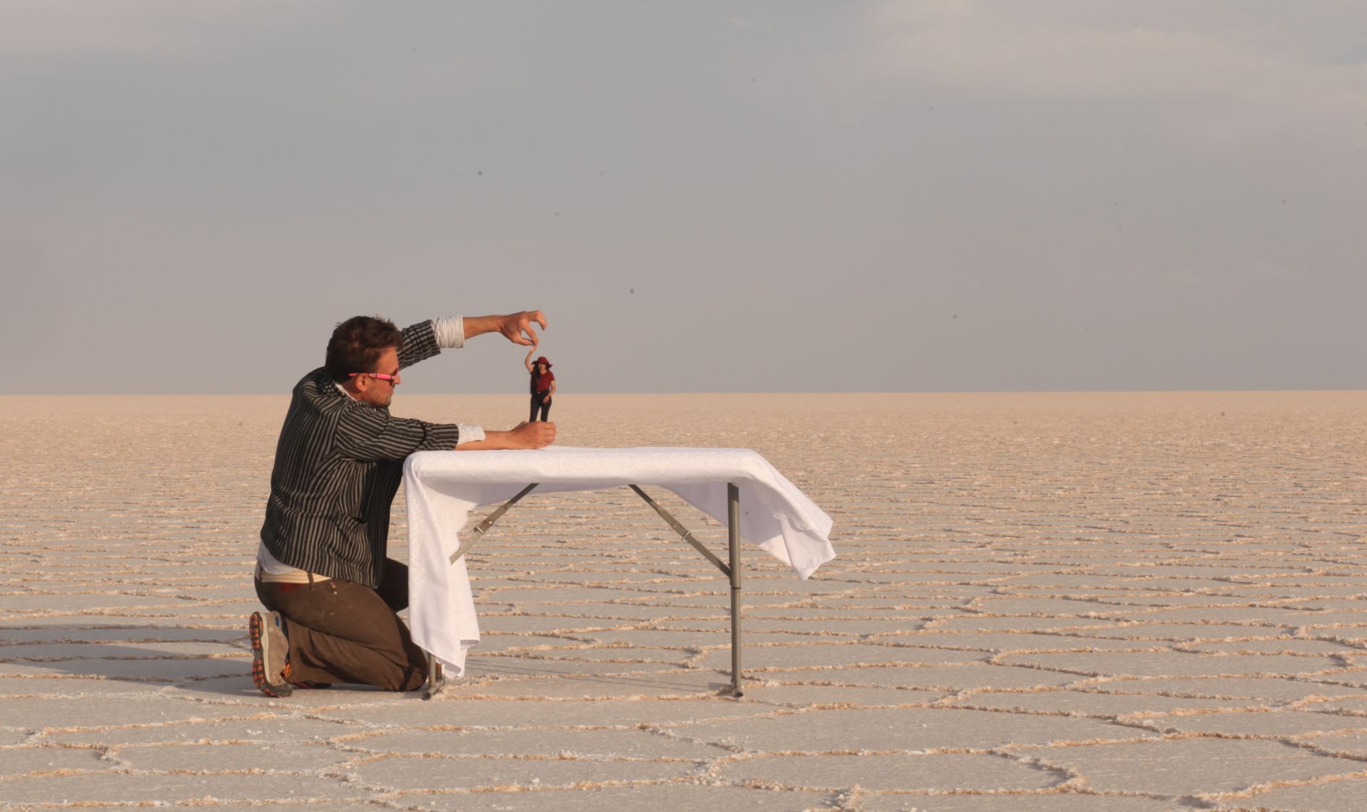
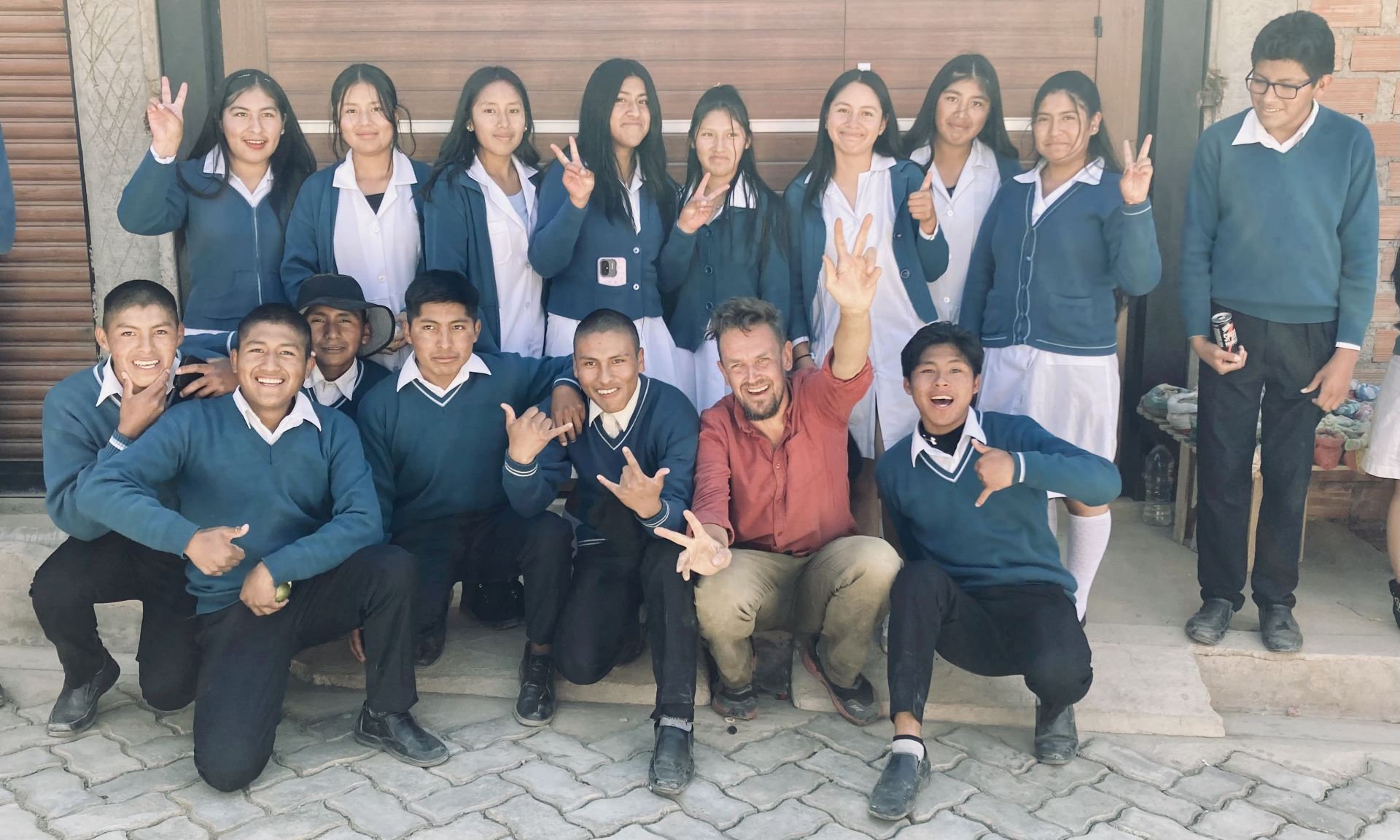
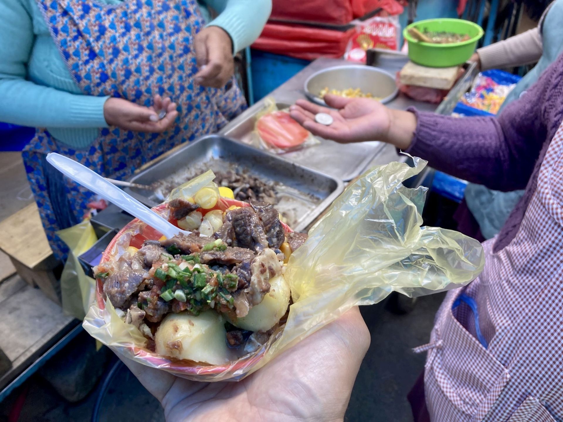
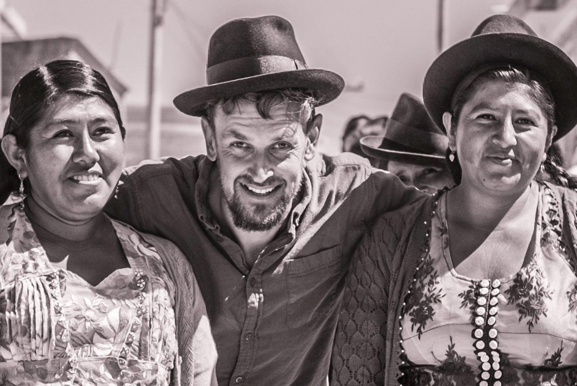
CHILE • North
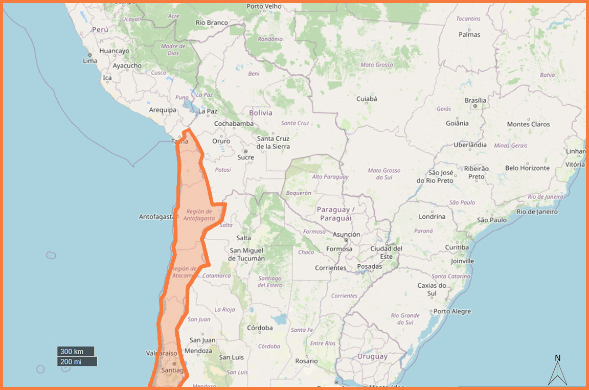
DESCRIPTION:
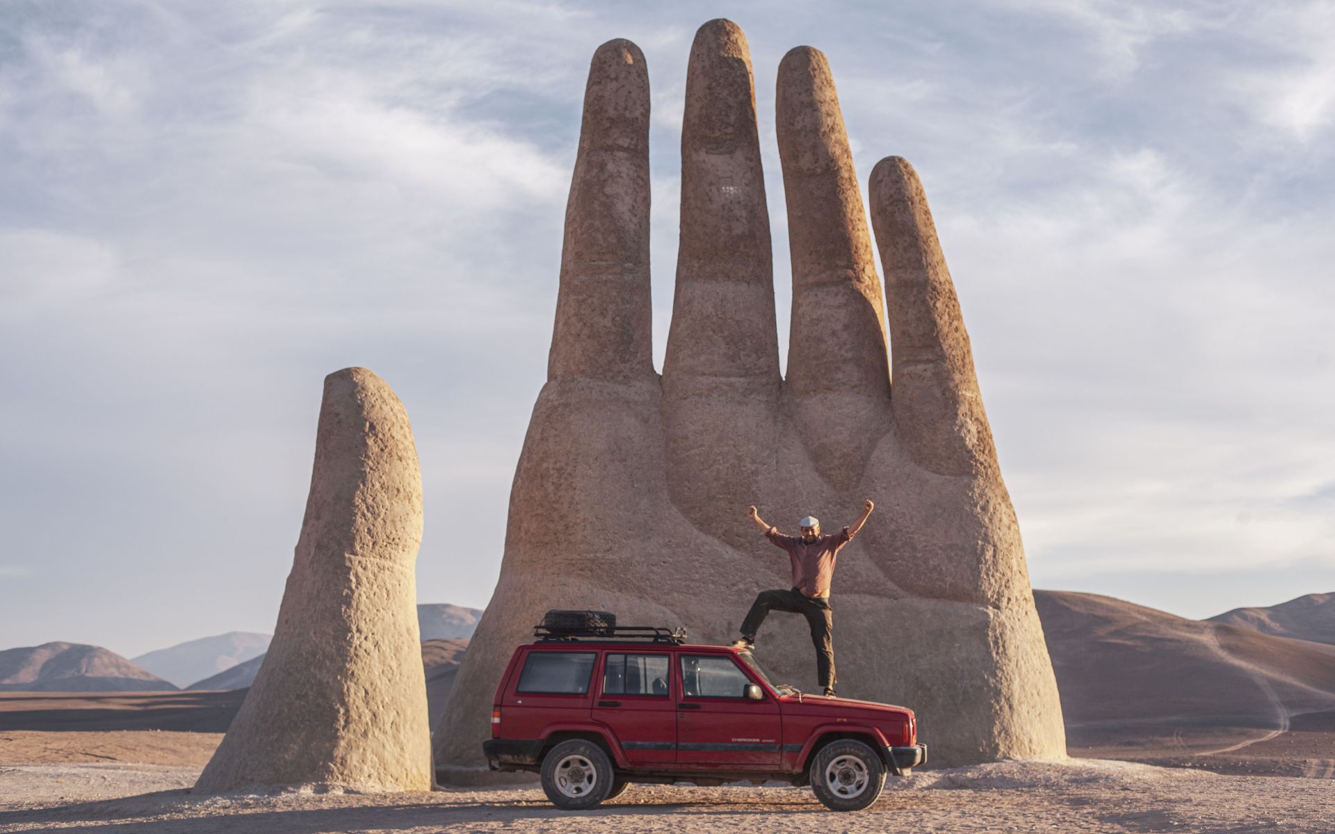
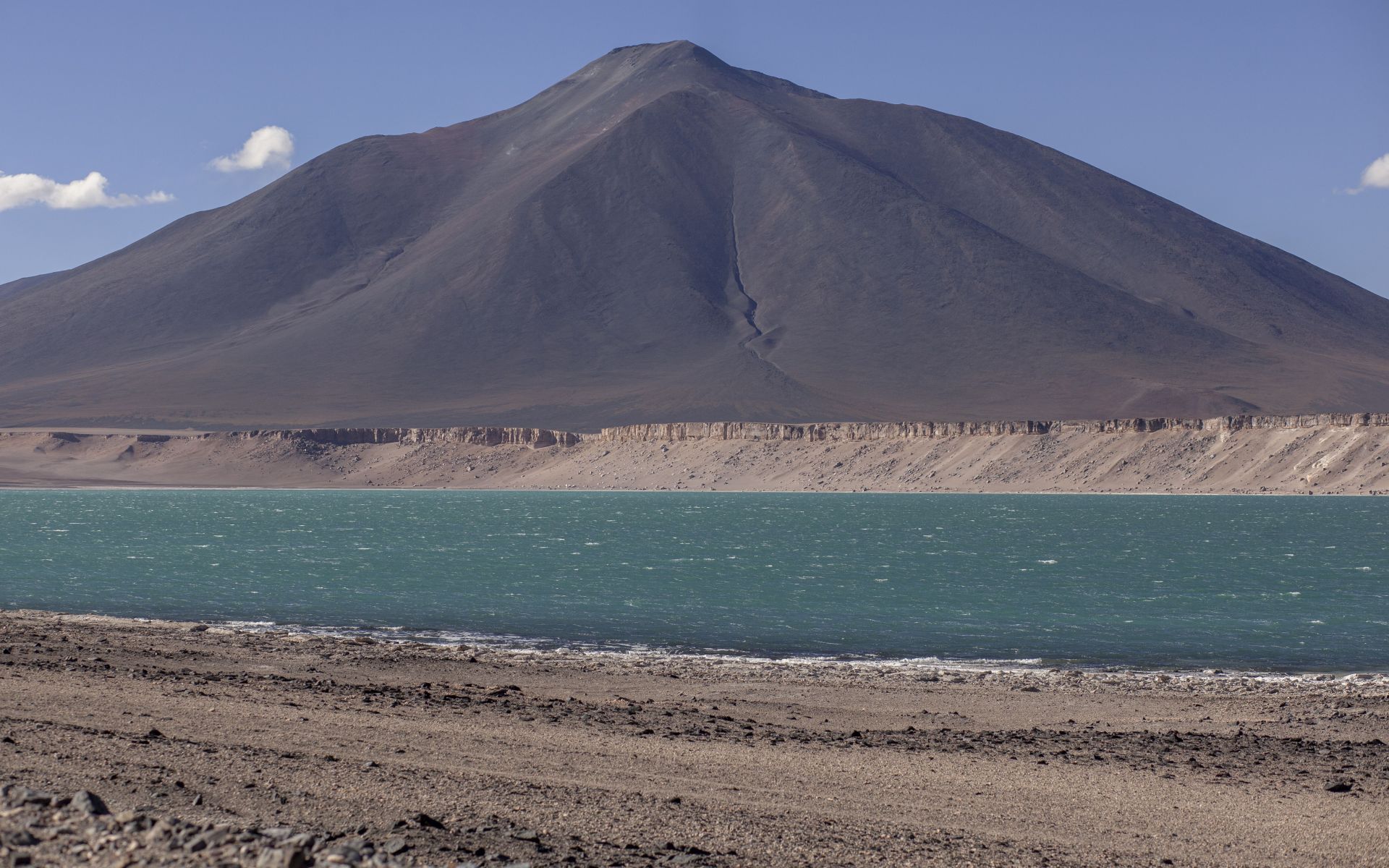
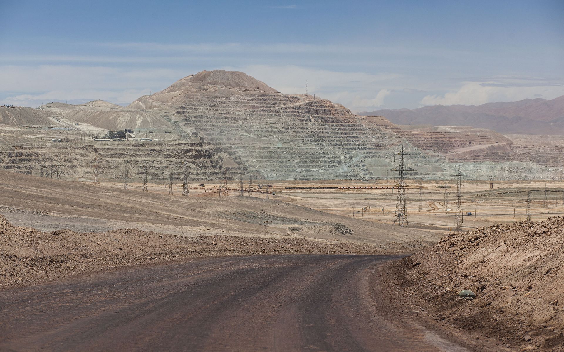
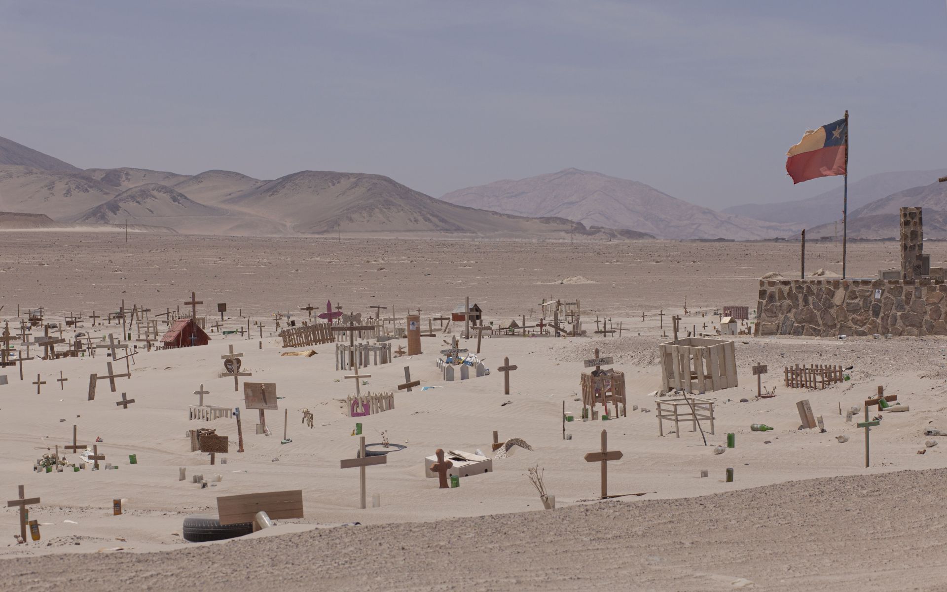
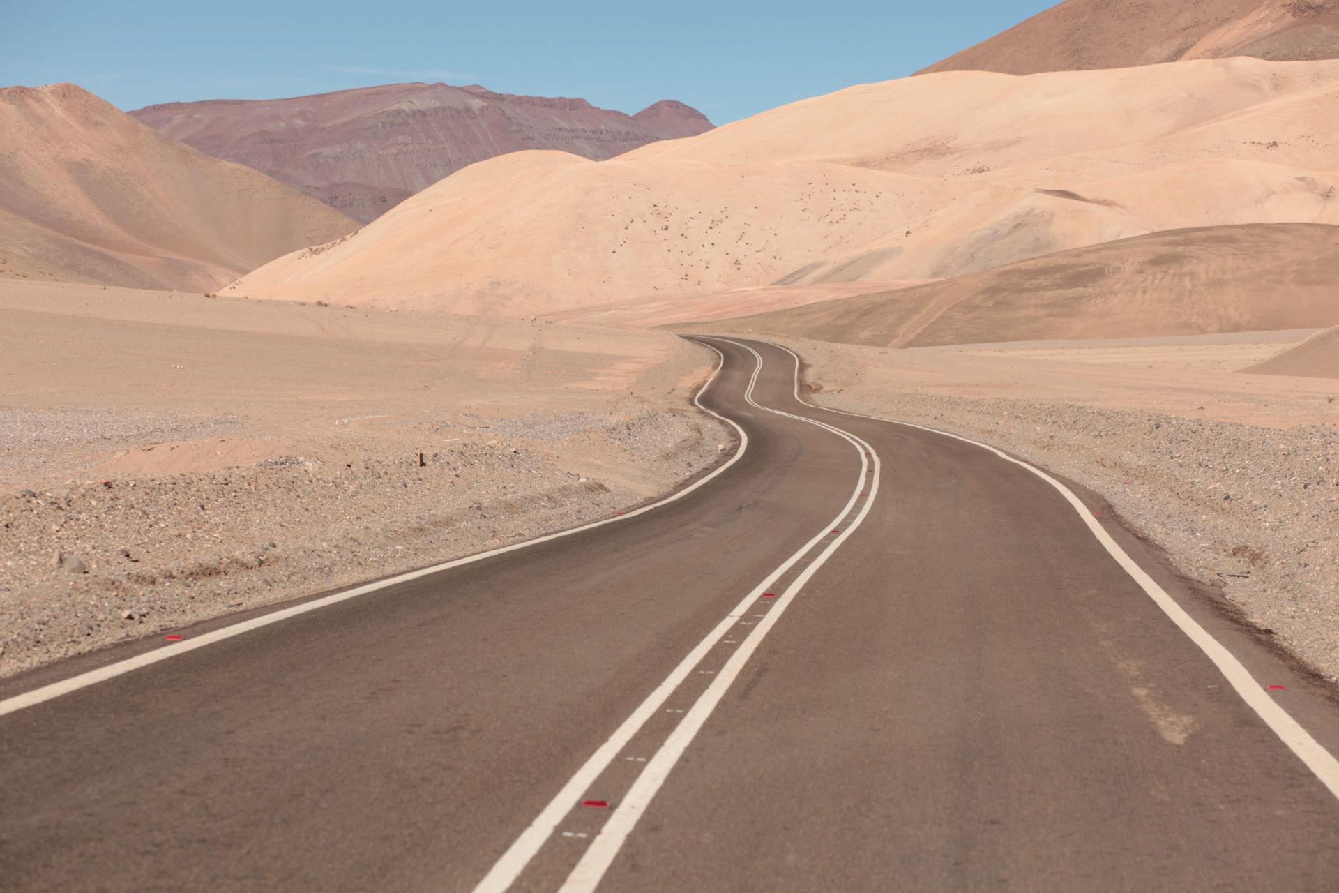
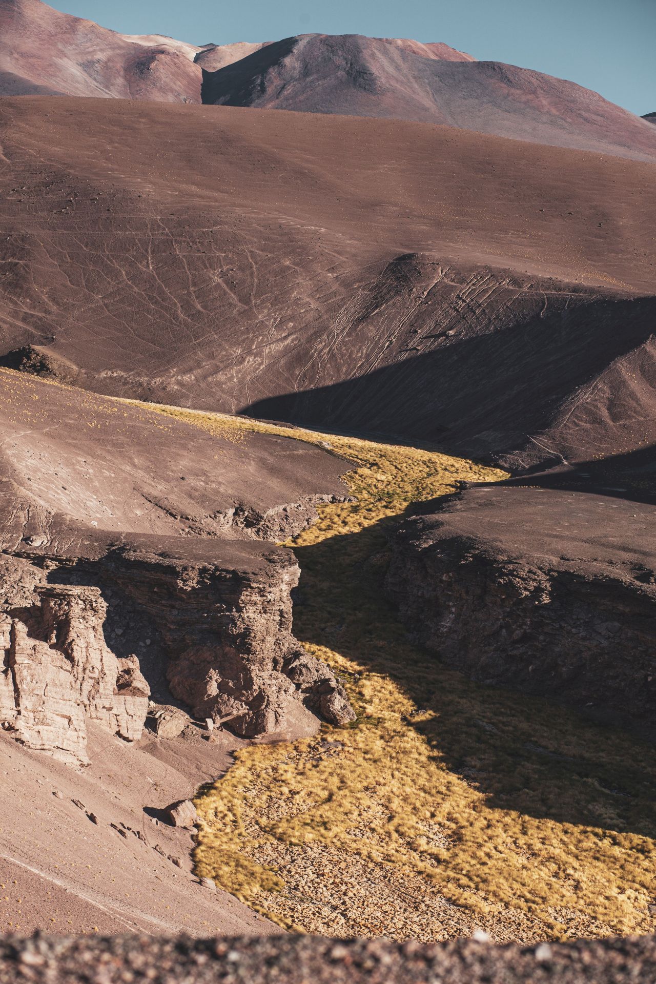
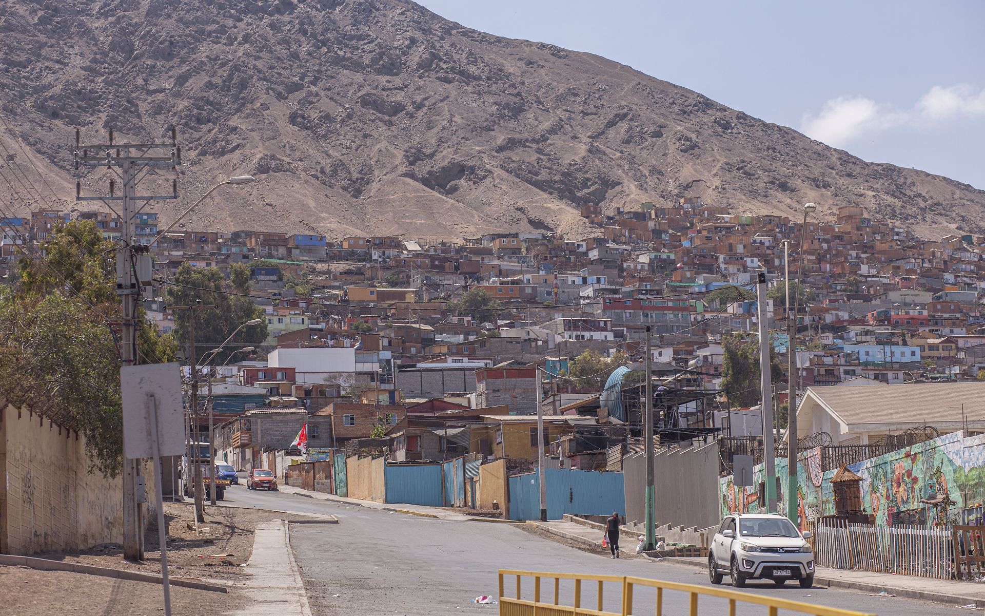
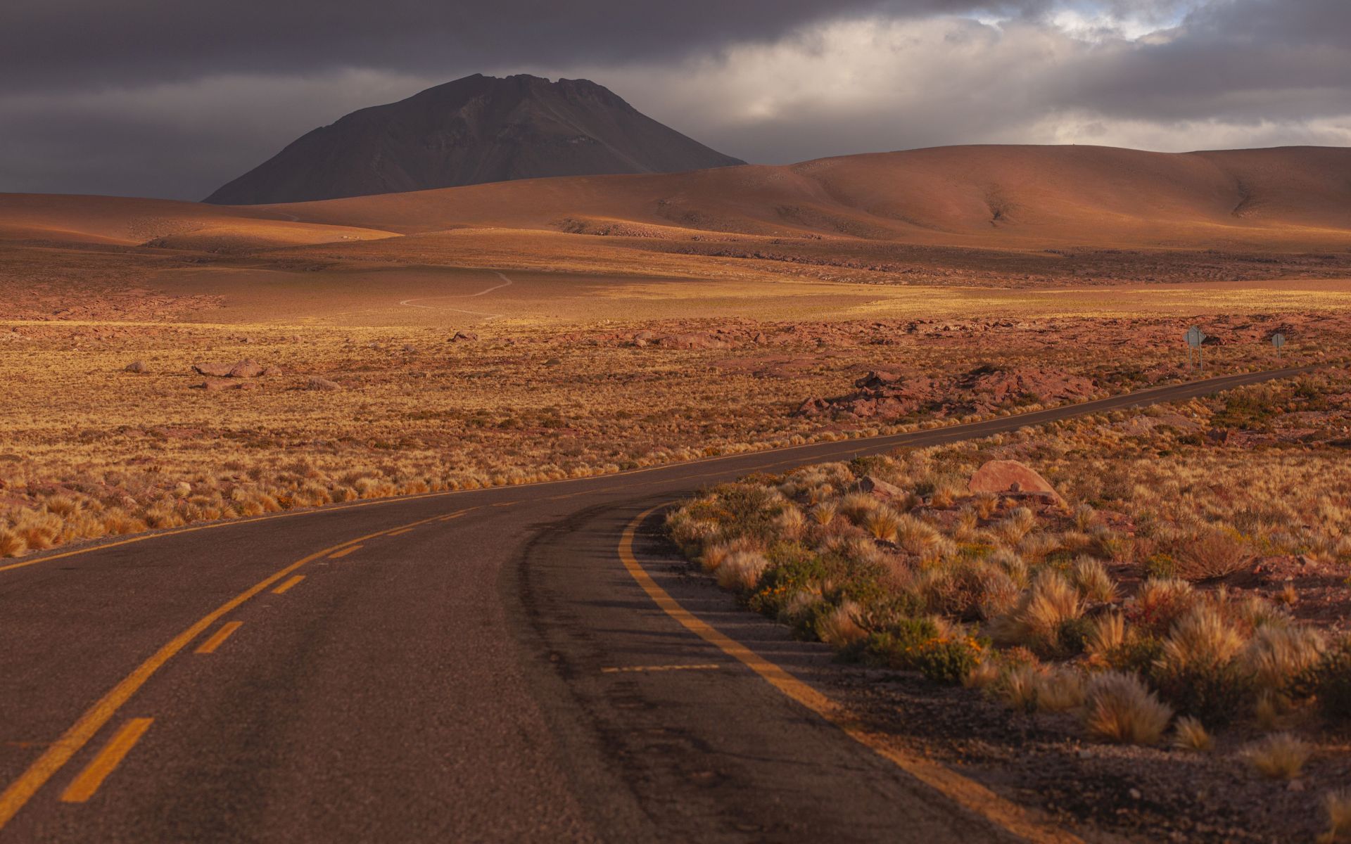
Northern Chile is basically an endless desert. Huge mines (you can see Minera Escondida in the video from the road below),
sand, dust and even more sand and mines. But also a lot, a lot, a lot of sun!
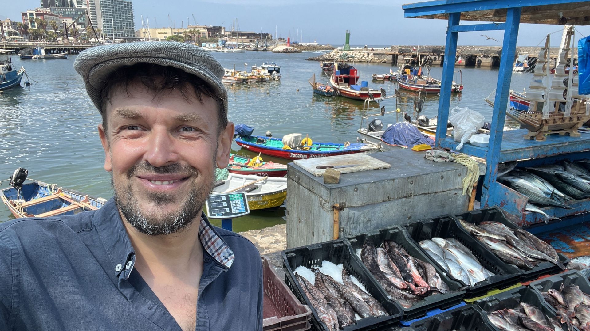
If a person from northern Chile tells you he has a tree in his garden, he is lying, and if he doesn’t work for a mining company he simply doesn’t exist 😉
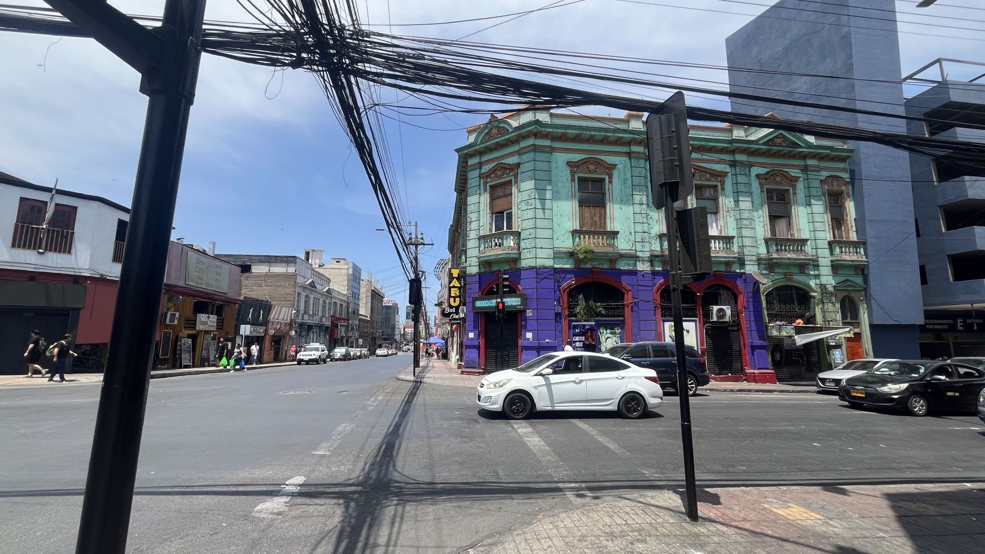
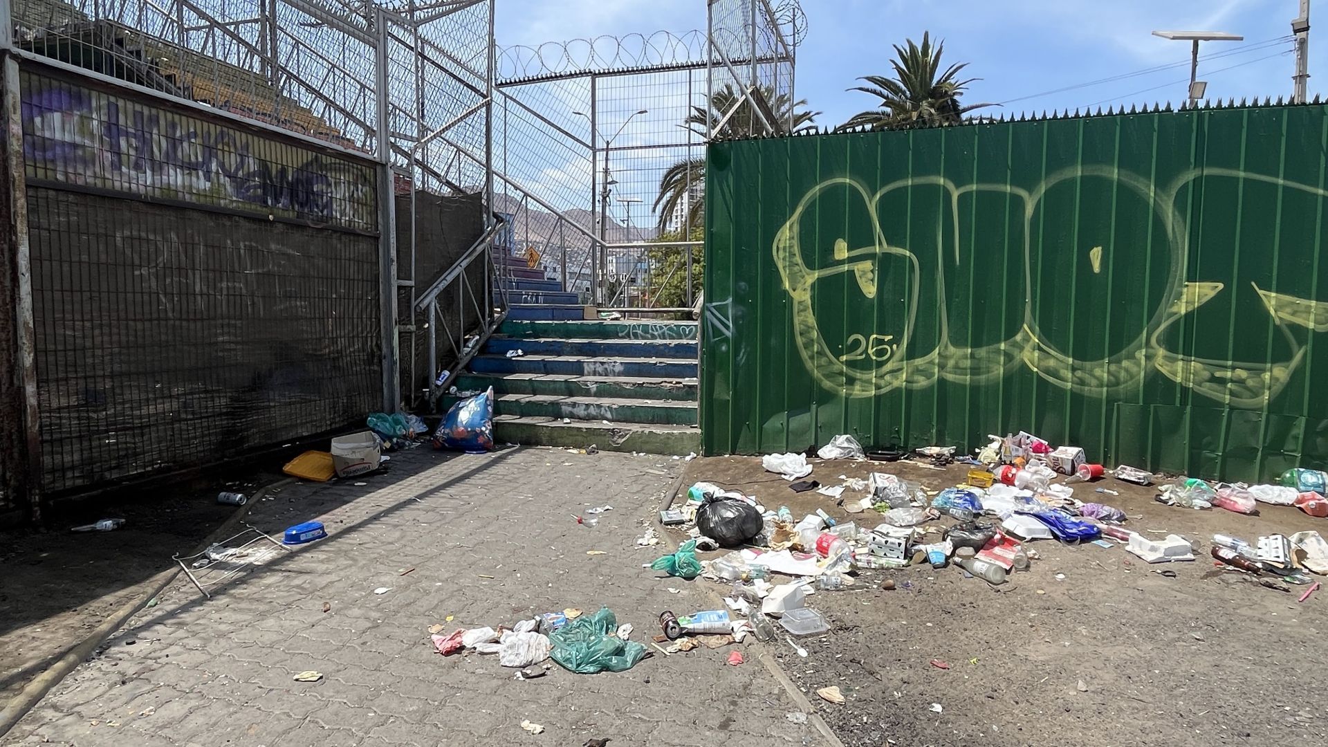
Chile in general is hard for me to recommend because it is a fairly schematic, capitalist and problematic country by South American standards.
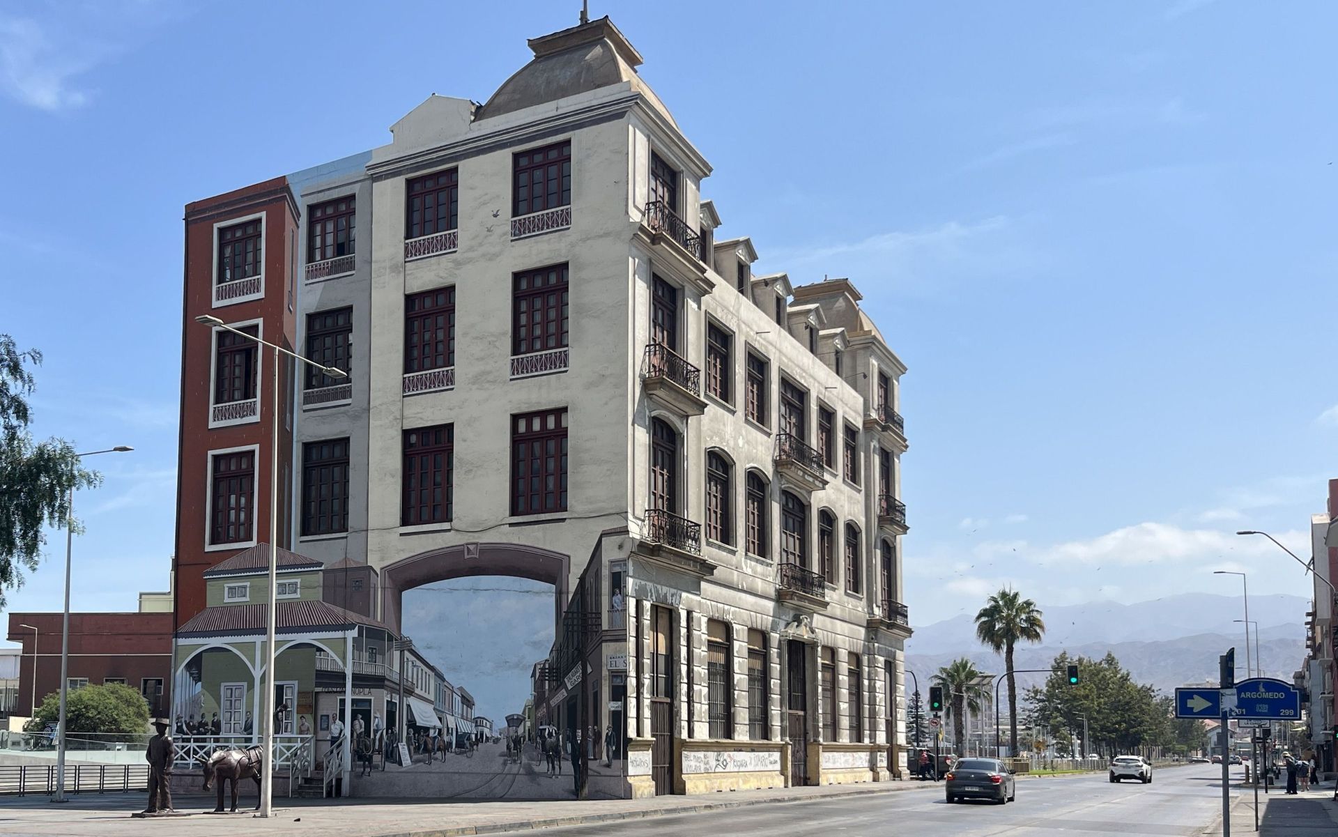
In cities - at least in northern Chile - you can see a lot of that “English-style mess” because the country can be associated a bit with that kind of life: control, regulations and dirt, similar to the UK
LOCATION:
MY VIDEOS:
Northern Chile
MY PHOTOS GALLERY:
PARTICIPATION IN THE PROJECT:
CHECK IF THIS IS FOR YOU:
If you want to benefit from my help in exploring the Serpentinium here in Argentina,
that is possible! why not ;) ?
However, this proposal is aimed at a very narrow group of people,
with whom, in short, we are on a sufficiently similar wavelength to function together
in a positive atmosphere, often in difficult conditions and isolation - please read
the guidelines I have written here, as they will help us avoid misunderstandings...
We travel through beautiful but remote areas, far from civilization, sometimes we have to improvise, be resourceful,
face dangers related to distances, altitude, possible breakdowns, temperatures, lack of comfort, or access to broadly understood benefits of progress.
To participate in the project
the main requirement is the ability to feel enthusiasm, good health,
both physical and mental, and a condition that allows walking several or even a dozen kilometers
of mountain trails.
There are no conditions for makeup maintenance, luxury restaurant visits or business negotiations.
Instead, there is raw but absolutely fantastic nature to deal with!
The Serpentinium project is for people who have at least some - even limited - understanding of what mountains are, who enjoy contact with nature,
improvisation, adventure, and who have the WILL to see, discover and experience something new in an atmosphere of shared ENTHUSIASM.
These are exactly the people I want to meet and spend time with in Serpentinium!
Experience, knowledge of language, local culture, terrain, routes or mountain trails - that is what I bring.
With full respect but… ladies in high heels and nails who have never touched the ground, generally “ladies”!,
people focused on drinking parties, eternal complainers or those addicted to anything - thank you all very much and I suggest spending your time in a way that might be more enjoyable for you...
If you are not sure, don’t know whether you have the motivation or don’t feel enthusiasm - come later, when the idea of participating in my project has matured inside you.
It is an investment of sorts, so it is most reasonable for those who feel that exploring the Andes would be something special, unique...
CHARACTERISTICS:
I can imagine the Serpentinium project as an open book, however functioning in everyday reality for most people requires certain frameworks, so... it makes sense to think of +/- 10 days of shared adventure on Argentine backroads in a time window between November and March,
which is when exploration of this area is actually possible. In the mountain routes there should no longer be much snow, and temperatures at altitude are usually already acceptable for mountain tourism...
It is important to have a few spare days so as not to stress about time and be prepared for possible breakdowns, delays, unexpected adventures with increasingly unpredictable weather in recent years - we have a 4x4 vehicle at our disposal with character.
PERSONALIZATION:
The proposal is highly curated and limited - you could say exclusive ;) since I take only a few people per year into the gates of Serpentinium,
- more (I will be honest) I simply do not feel like handling, and also due to climate conditions we are
limited to the Argentine holidays and sunny summer.
We need to get along well! then the rest of the details like price, plan (or lack of it) are arranged. With me you definitely have a chance to see more and more easily than on your own.
If you plan a longer stay in South America I can help a lot or give advice - I have been everywhere!